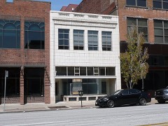
 | 1524 Grand Avenue Building | building | 2004 | 04000389 |
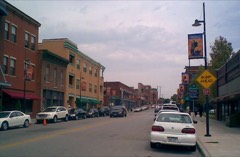 | 18th and Vine Historic District | district | 1991 | 84004142 |
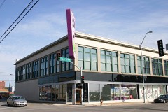 | 1901 McGee Street Automotive Service Building | building | 2009 | 08001359 |
| 85th and Manchester "Three Trails" Trail Segment | site | 2012 | 12000525 |
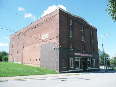 | A.B.C. Storage and Van Company Building | building | 2007 | 06001334 |
| ABC Storage & Van Company Warehouse B | building | 2022 | 100008448 |
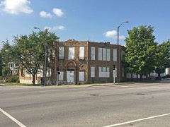 | ACME Cleansing Company Building | building | 2017 | 100001346 |
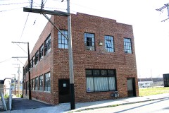 | Acme Brass and Machine Works Building | building | 2004 | 04000694 |
| Charles Francis Jr. Adams Building | building | 2020 | 100004985 |
| Agee Apartments Historic District | district | 2017 | 100001347 |
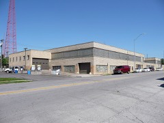 | Aines Farm Dairy Building | building | 2008 | 08000960 |
| Alana Apartment Hotel | building | 2006 | 06000543 |
| Ambassador Hotel Historic District | district | 1983 | 83000995 |
| Ambassador Hotel Historic District (Boundary Increase) | building | 2008 | 08000267 |
| Anderson Electric Car Company Building | building | 2022 | 100008447 |
| Archbishop O'Hara High School | building | 2021 | 100006074 |
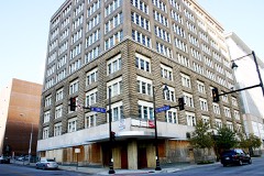 | Argyle Building | building | 2005 | 05000891 |
| Armour Boulevard Post-World War II Apartment Building Historic District | district | 2007 | 07001155 |
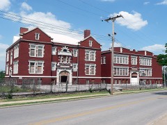 | Attucks School | building | 1991 | 91001150 |
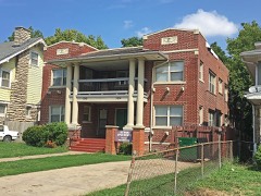 | Aurora Apartments | building | 2017 | 100001758 |
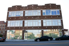 | Auto Coach Building | building | 2007 | 07000328 |
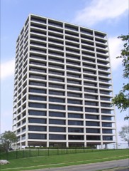 | BMA Tower | building | 2002 | 02000886 |
| Bailey Family Farm Historic District | district | 2006 | 06000537 |
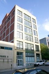 | Baker-Vawter Building | building | 2000 | 00000432 |
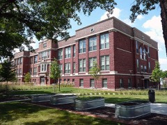 | Bancroft School | building | 2012 | 11001017 |
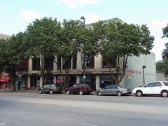 | Barclay Building | building | 2007 | 07000042 |
| Bayles Addition Historic District | district | 2013 | 13000003 |
| Bellefontaine Avenue Historic District | district | 2011 | 11000010 |
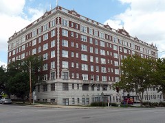 | Bellerive Hotel | building | 1980 | 80002361 |
| Belmont Hotel | building | 2016 | 16000513 |
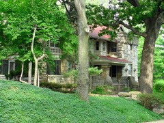 | Thomas Hart Benton House and Studio | building | 1980 | 80002362 |
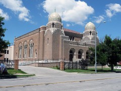 | Beth Shalom Synagogue | building | 1982 | 82003142 |
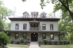 | Bingham-Waggoner House and Estate | building | 1980 | 80002360 |
 | Walter E. Bixby House | building | 1978 | 78001651 |
| Blackstone Hotel | building | 2003 | 03001057 |
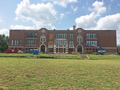 | Blenheim School | building | 2017 | 100001348 |
| Blue Mills | site | 1994 | 94000323 |
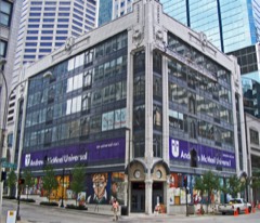 | Boley Building | building | 1971 | 71000467 |
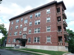 | Bon Air Apartments Building | building | 2008 | 08000754 |
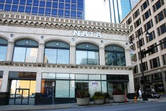 | Bonfils Building | building | 1984 | 84002568 |
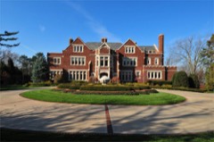 | Charles A. Braley House | building | 2013 | 13000821 |
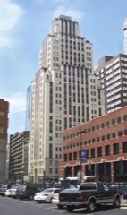 | Bryant Building | building | 1989 | 89000312 |
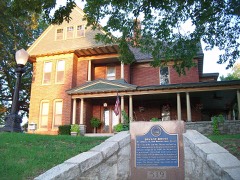 | Bryant, Dr. John S. Jr. and Harriet Smart, House | building | 1992 | 92000582 |
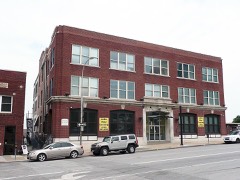 | Buick Automobile Company Building | building | 2004 | 04000386 |
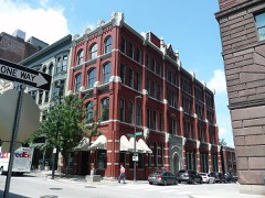 | Bunker Building | building | 1975 | 75001067 |
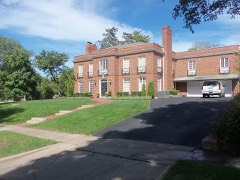 | Burnette-Berry House | building | 2011 | 11000023 |
| Byram's Ford Historic District | district | 1989 | 89001629 |
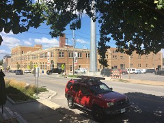 | Campbell-Continental Baking Company Building | building | 2016 | 16000235 |
| Cave Spring | site | 1978 | 78001652 |
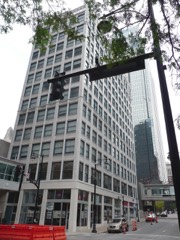 | Chambers Building | building | 2001 | 01001379 |
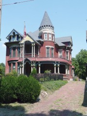 | Philip E. Chappell House | building | 1990 | 90001157 |
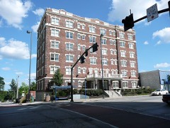 | Chatham Hotel | building | 2008 | 08000564 |
| Cherry Street Colonnades Historic District | district | 2005 | 05001050 |
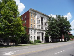 | Chicago Apartments | building | 1980 | 80002363 |
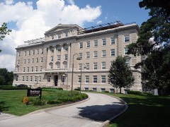 | Christian Church Hospital | building | 2004 | 04001161 |
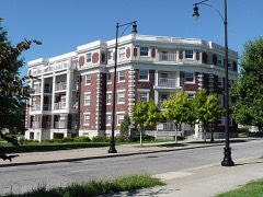 | Circle Apartments | building | 2002 | 02001199 |
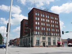 | City Bank Building | building | 1983 | 83000996 |
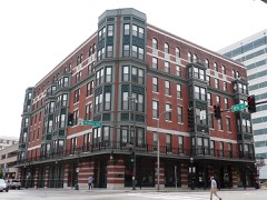 | Coates House Hotel | building | 1972 | 72000715 |
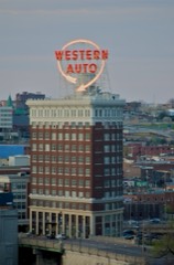 | Coca-Cola Building | building | 1988 | 88001300 |
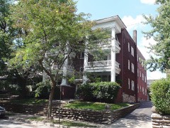 | Colonnade Apartment Building at 4302 Oak Street | building | 2008 | 08000857 |
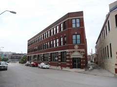 | Columbia Building | building | 2000 | 00000433 |
| Commerce Tower | building | 2014 | 14000141 |
| Commerce Trust Company Historic District | district | 2015 | 15000772 |
| Community Church | building | 2020 | 100005662 |
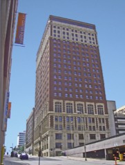 | Continental Hotel | site | 1983 | 83000997 |
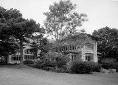 | Bernard Corrigan House | building | 1978 | 78001653 |
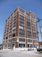 | Thos. Corrigan Building | building | 1982 | 82003143 |
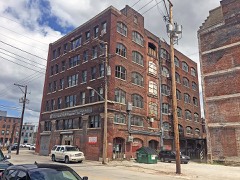 | Crane Company Building, The | building | 2018 | 100002424 |
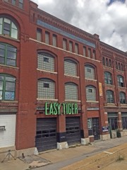 | Creamery Package Manufacturing Company Building | building | 2016 | 16000764 |
| Crestwood Historic District | district | 1998 | 98001239 |
| Crossroads Historic Freight District | district | 2000 | 00001565 |
| Crown Center Historic District | district | 2019 | 100004601 |
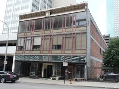 | Louis Curtiss Studio Building | building | 1972 | 72000716 |
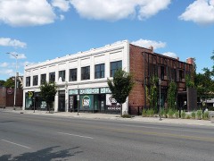 | O.H. Dean Building | building | 2009 | 09000682 |
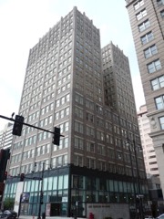 | Dierks Building | building | 2009 | 08001387 |
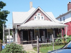 | Disney, Walt, House, and Garage | building | 1978 | 78001654 |
| District I | district | 1983 | 83000998 |
| District I | district | 1983 | 83001000 |
| District II | district | 1983 | 83001001 |
| District III | district | 1983 | 83000999 |
| District III (Boundary Increase) | building | 2006 | 06000544 |
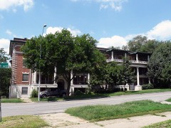 | Dorson Apartment Building | building | 1987 | 87000906 |
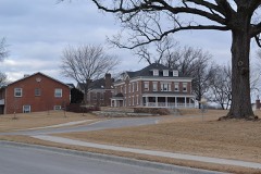 | Andrew Drumm Institute | district | 2006 | 06001014 |
| East 27th Street Colonnades Historic District | district | 2006 | 06000538 |
| East Ninth Street-Grand Boulevard Historic District | district | 2020 | 100005660 |
| East Plaza Apartments Historic District | district | 2025 | 100011650 |
| East Side Apartments Historic District | district | 2022 | 100007359 |
| El Torreon Ballroom | building | 2022 | 100007262 |
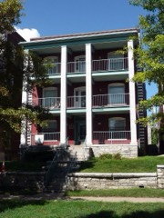 | Ellsworth Apartments | building | 2002 | 02001203 |
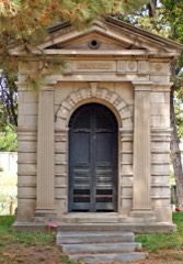 | Elmwood Cemetery | site | 1983 | 83001002 |
| Englewood Theatre | building | 2026 | 100012640 |
| Exchange Building | building | 2003 | 03000524 |
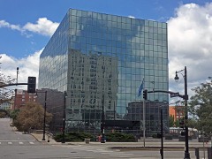 | Executive Plaza Office Building | building | 2017 | 100000750 |
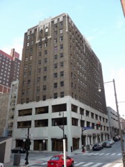 | Fairfax Building, The | building | 2015 | 15000471 |
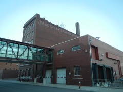 | Faultless Starch Company Building | building | 2002 | 02000470 |
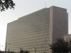 | Federal Office Building | building | 2021 | 100006773 |
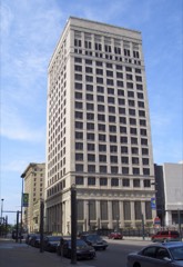 | Federal Reserve Bank of Kansas City | building | 2007 | 07000327 |
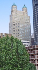 | Fidelity National Bank and Trust Company Building, The | building | 1997 | 97000908 |
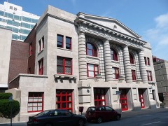 | Fire Department Headquarters; Fire station #2 | building | 1982 | 82003144 |
| Fire Station No. 11 | building | 2026 | 100012650 |
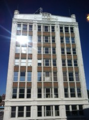 | Firestone Building | building | 1986 | 86000004 |
| Firestone Tire and Rubber Company Service Station | building | 2021 | 100007044 |
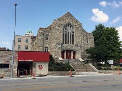 | First Swedish Baptist Church | building | 2018 | 100002425 |
| Jacobs Floyd House | building | 1983 | 83001003 |
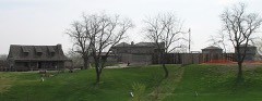 | Fort Osage | district | 1966 | 66000418 |
| Four Gates Farm | district | 1991 | 83004871 |
| Henry T. Fowler House | building | 1983 | 83001004 |
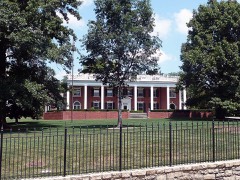 | Hunter Gary House | building | 2008 | 08000022 |
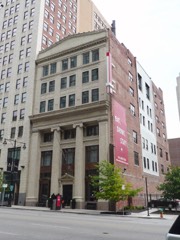 | Gate City National Bank | building | 1982 | 82003145 |
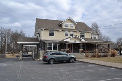 | Todd M. Sr. George House | building | 2010 | 10000007 |
| John and Adele Georgen House | building | 2000 | 00000486 |
| German Evangelical Pastors' Home Historic District | district | 1988 | 88001856 |
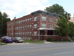 | Gillham Court Apartments Building | building | 2007 | 07001156 |
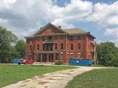 | Gillis Orphans' Home | building | 2017 | 100001300 |
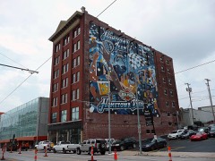 | Globe Storage and Transfer Company Building | building | 2007 | 07000326 |
| Gloyd Building | building | 1985 | 85001610 |
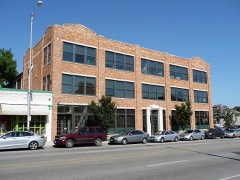 | Goodenow Textiles Company Building | building | 2003 | 03000297 |
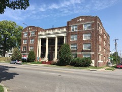 | Gotham Apartments | building | 2017 | 100001349 |
| Grand Avenue Garage | building | 2015 | 14001238 |
| Grand Avenue Temple and Grand Avenue Temple Building | building | 1985 | 85001006 |
| Grandview Residential Historic District | district | 2005 | 05001284 |
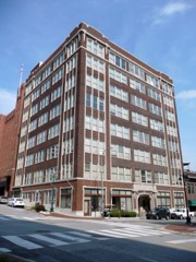 | Graphic Arts Building | building | 2005 | 05000810 |
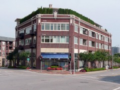 | Greenlease Cadillac Building | building | 2003 | 03000523 |
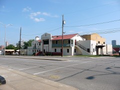 | Guadalupe Center | building | 2003 | 03000866 |
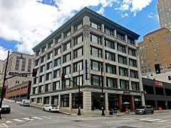 | Gumbel Building | building | 1979 | 79001367 |
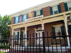 | Col. John Harris House | building | 1972 | 72000717 |
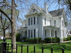 | Harry S Truman National Historic Site | district | 1985 | 85001248 |
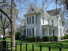 | Harry S Truman National Historic Site (Boundary Increase) | district | 2005 | 05000083 |
| Hazelle, Inc. Building | building | 2021 | 100006075 |
| Heim Fire Station No. 20 | building | 2024 | 100009693 |
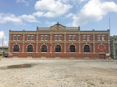 | Ferd. Heim Brewing Company Bottling Plant | building | 2016 | 15001018 |
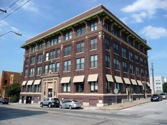 | Helping Hand Institue Building | building | 2000 | 00000434 |
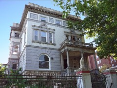 | Dr. Generous Henderson House | building | 1979 | 79001368 |
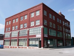 | Hesse Carriage Company Building | building | 2007 | 07000169 |
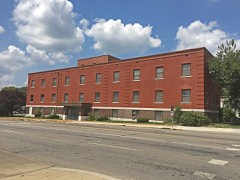 | Hiland Telphone Exchange Building | building | 2005 | 05000373 |
| Holy Name Catholic Church | building | 2003 | 03000964 |
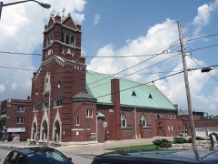 | Holy Rosary Historic District | district | 2007 | 07000007 |
| Mary Rockwell Hook House | building | 1983 | 83001005 |
| Hoover Brothers Building | building | 2019 | 100004600 |
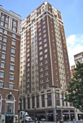 | Hotel Phillips | building | 1979 | 79001369 |
| House at 5011 Sunset Drive | building | 1983 | 83001006 |
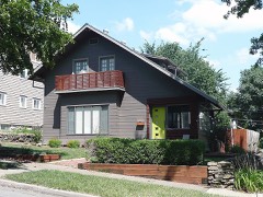 | House at 54 E. 53rd Terrace | building | 1983 | 83001007 |
| Howard Neighborhood Historic District | district | 2007 | 07000651 |
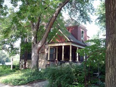 | Frank M. Howe Residence | building | 1985 | 85000854 |
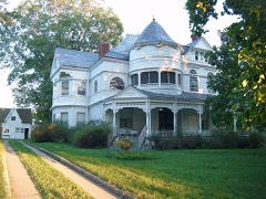 | Mollie and Josephine Hughes House | building | 1994 | 94000289 |
| Hyde Park East Historic District, Old | district | 2004 | 04000527 |
| Hyde Park Historic District | district | 1980 | 80002364 |
| Hyde Park West Historic District, Old | district | 2004 | 04000526 |
| Imperial Brewing Company Brewery | building | 2011 | 11000011 |
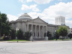 | Independence Boulevard Christian Church | building | 2015 | 14001158 |
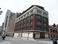 | Insurance Building-Consumers Cooperative Association Building | building | 2005 | 05001327 |
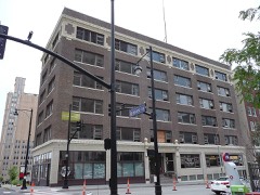 | Inter-State Building | building | 2008 | 08000534 |
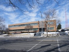 | Interstate Bakeries Corporation Headquarters | building | 2015 | 15000553 |
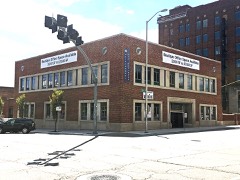 | Interstate Securities Building | building | 2017 | 100001759 |
| Ivanhoe Masonic Temple | building | 1985 | 85000942 |
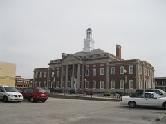 | Jackson County Courthouse | building | 1972 | 72000713 |
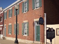 | Jackson County Jail and Marshal's House | building | 1970 | 70000333 |
| Janssen Place Historic District | district | 1976 | 76001111 |
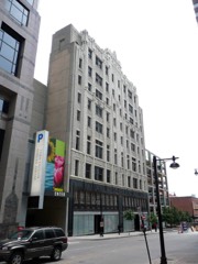 | Jenkins Music Company Building | building | 1979 | 79001370 |
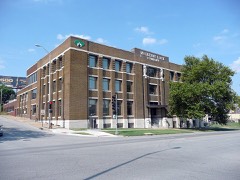 | Jensen-Salsbery Laboratories | building | 1985 | 85001574 |
| John Hancock Building | building | 2024 | 100010555 |
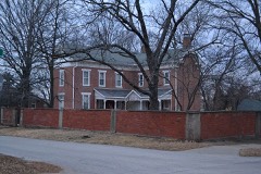 | Lewis Jones House | building | 1994 | 94000320 |
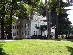 | R. Bryson Jones House | building | 2009 | 09000205 |
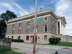 | Kansas City Athenaeum | building | 1979 | 79001371 |
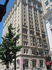 | Kansas City Club Building | building | 2002 | 02001401 |
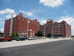 | Kansas City Cold Storage Company Building | building | 2005 | 05000510 |
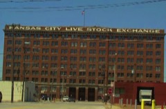 | Kansas City Live Stock Exchange | building | 1984 | 84002571 |
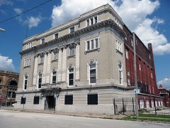 | Kansas City Masonic Temple | building | 1980 | 80002365 |
| Kansas City National Guard Armory | building | 2020 | 100004986 |
| Kansas City Parks and Boulevards Historic District | district | 2016 | 14000931 |
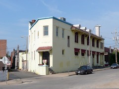 | Kansas City Police Station Number 4 | building | 2005 | 05001184 |
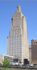 | Kansas City Power and Light Company Building | building | 2002 | 88001852 |
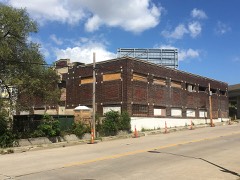 | Kansas City Power and Light Company Substation "A" | building | 2018 | 100002032 |
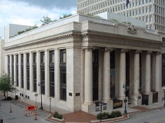 | Kansas City Public Library | building | 1977 | 77000807 |
| Kansas City Public Library and Board of Education Building | building | 2017 | 100001350 |
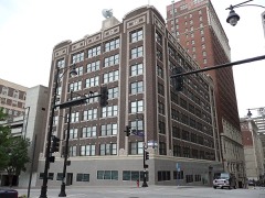 | Kansas City Southern Railway Building | building | 2004 | 04000392 |
| Kansas City Star Building | building | 2019 | 100004102 |
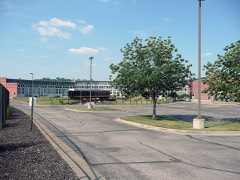 | Kansas City Terminal Railway Company Roundhouse Historic District | district | 2001 | 00001682 |
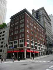 | Kansas City Title and Trust Building | building | 2005 | 05000624 |
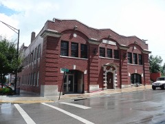 | Kansas City Water Department Building | building | 1994 | 94000290 |
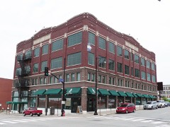 | Kansas City, Missouri Western Union Telegraph Building | building | 2003 | 03000010 |
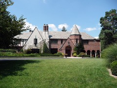 | Michael H. and Rose Katz House | building | 2004 | 04000212 |
| Charles S. Keith House | building | 2000 | 00000308 |
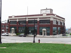 | Kelley-Reppert Motor Company Building | building | 2004 | 04001223 |
| Kellogg-Mackay Company Buildings | building | 2022 | 100007816 |
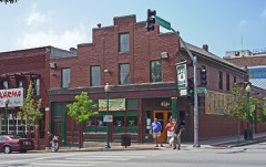 | Kelly's Westport Inn | building | 1972 | 72000718 |
| Kemper Arena | building | 2016 | 14000160 |
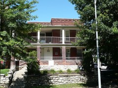 | Kessler Apartments | building | 2002 | 02001202 |
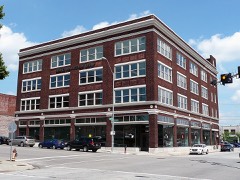 | Kirkwood Building | building | 2001 | 01000767 |
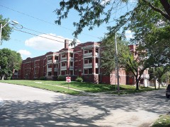 | Knickerbocker Apartments | building | 2003 | 03000525 |
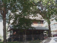 | William Baker and Mary Knight House | building | 2003 | 03001054 |
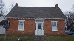 | Kritser House | building | 1985 | 85000734 |
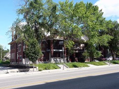 | Kuehne-Schmidt Apartments | building | 2007 | 07000040 |
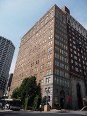 | Land Bank Building | building | 1985 | 85000101 |
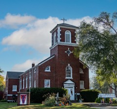 | Lee's Summit Christian Church Building | building | 2011 | 11000213 |
| Lee's Summit Downtown Historic District | district | 2005 | 05000889 |
| Lee's Summit Post Office | building | 2018 | 100002426 |
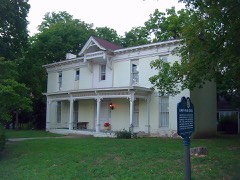 | Lewis-Webb House | building | 1986 | 86000154 |
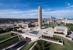 | Liberty Memorial | site | 2000 | 00001148 |
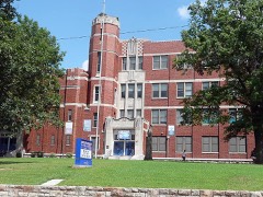 | Lincoln High School | building | 2014 | 13001086 |
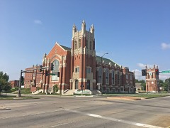 | Linwood Presbyterian Church and Home for Convalescent Employed Women | building | 2012 | 12000472 |
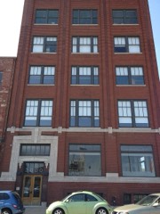 | Liquid Carbonic Company Building | building | 1994 | 94000365 |
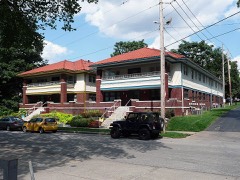 | Locust Street Apartments | building | 2011 | 11000249 |
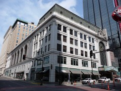 | Loew's Midland Theater-Midland Building | building | 1977 | 77000808 |
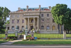 | R. A. Long House | building | 1980 | 80002366 |
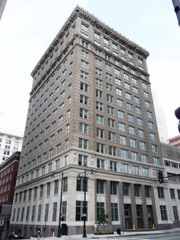 | R.A. Long Building | building | 2003 | 02001683 |
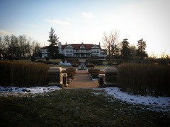 | Longview Farm | building | 1985 | 85003378 |
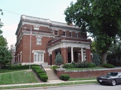 | Jacob Loose House | building | 1983 | 83001008 |
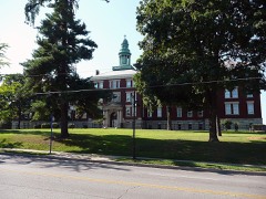 | Loretto Academy | building | 1983 | 83001009 |
| Emily Rockwell Love House | building | 1983 | 83001010 |
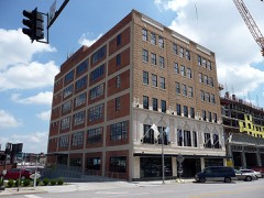 | Lowe and Campbell Sporting Goods Building | building | 2012 | 11001018 |
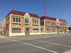 | Luzier Special Formula Laboratories Building | building | 2018 | 100001351 |
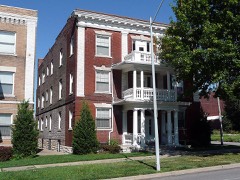 | Maine Apartments | building | 2002 | 02001198 |
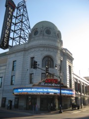 | Mainstreet Theatre | building | 2007 | 07000043 |
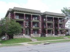 | Majestic Apartments | building | 2003 | 03001052 |
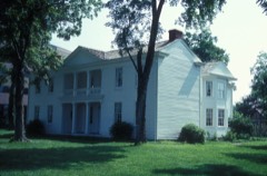 | Alexander Majors House | building | 1970 | 70000335 |
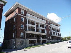 | Maples Apartments | building | 2002 | 02001196 |
| Marks and Garvey Historic District | district | 2006 | 06000542 |
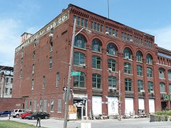 | Albert Marty Building | building | 2013 | 12001257 |
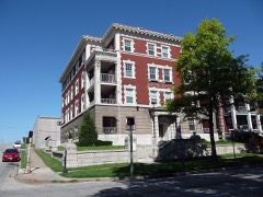 | Maryland Apartments | building | 2002 | 02001204 |
| Mason Building | building | 2021 | 100006891 |
| Mayfair Apartment Hotel | building | 2025 | 100011399 |
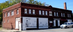 | McConahay Building | building | 1978 | 78001655 |
| McGee Street Automotive Historic District | district | 2018 | 100002427 |
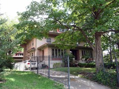 | Levi McIntire House | building | 1983 | 83001011 |
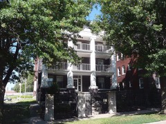 | McMahon Apartments | building | 2002 | 02001195 |
| Mercantile Bank & Trust Building | building | 2009 | 09000830 |
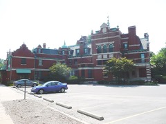 | August Meyer House | building | 1982 | 82003146 |
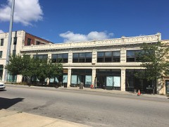 | Michelson Building | building | 2018 | 100002033 |
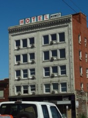 | Midwest Hotel | building | 2004 | 04000394 |
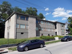 | Milo Apartments | building | 2011 | 11000763 |
| Mineral Hall | building | 1976 | 76001112 |
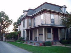 | Charles Minor House | building | 1984 | 84002573 |
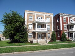 | Missouri Apartments | building | 2002 | 02001197 |
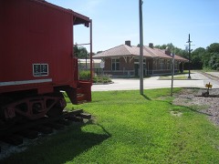 | Missouri Pacific Depot | building | 1979 | 79001365 |
| Moline Plow Company Building | building | 2019 | 100004065 |
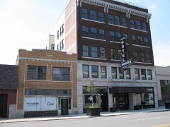 | Monroe Hotel | building | 2004 | 04000395 |
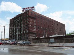 | Montgomery Ward and Company General Merchandise Warehouse | building | 2010 | 10000461 |
| Morningside Acres Historic Ranch House District | district | 2012 | 11001083 |
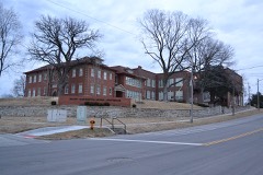 | Mount Washington School | building | 2013 | 13000192 |
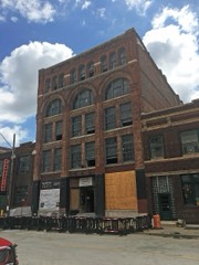 | C.A. Murdock Manufacturing Company Building | building | 2016 | 16000234 |
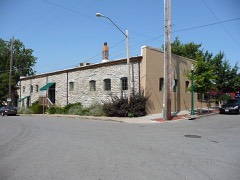 | Mutual Ice Company Building | building | 2004 | 04000783 |
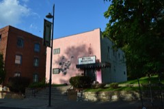 | Mutual Musicians' Foundation Building | building | 1979 | 79001372 |
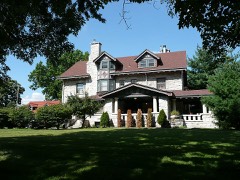 | George J. Myers House | building | 1983 | 83001012 |
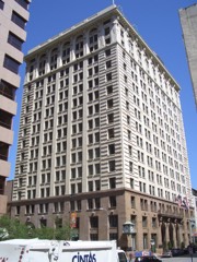 | National Bank of Commerce Building | building | 1999 | 99000530 |
| National Cloak and Suit Company | building | 2018 | 100002034 |
| National Garage | building | 2000 | 00000436 |
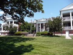 | George H. Nettleton Home | building | 1999 | 99001253 |
| New England Apartments | building | 2002 | 02001200 |
| New Santa Fe "Three Trails" Trail Swales | site | 2012 | 12000526 |
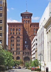 | New York Life Building | building | 1970 | 70000336 |
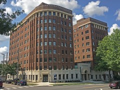 | Newbern Hotel | building | 1980 | 80002367 |
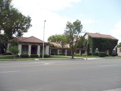 | D. W. Newcomer's Sons Funeral Home | building | 1983 | 83001013 |
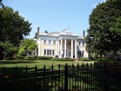 | George E. Nicholson House | building | 2005 | 05001325 |
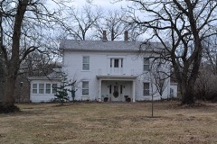 | Smallwood V. Noland House | building | 1994 | 94000319 |
| Norman School | building | 2014 | 13001087 |
| Northeast Douglas Street Residential Historic District | district | 2008 | 08000803 |
| Northeast Forest Avenue and Northeast Green Street Residential Historic District | district | 2008 | 08000804 |
| Northeast Green and 1st Streets Residential Historic District | district | 2008 | 08000805 |
| Oakwood Country Club | district | 2021 | 100006076 |
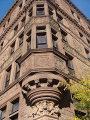 | Old New England Building | building | 1973 | 73001040 |
| Old Town Historic District | district | 1978 | 78001656 |
| Old Town Historic District (Boundary Increase II) | building | 2005 | 05001119 |
| Old Town Historic District (Boundary Increase III) | building | 2006 | 06000039 |
| Old Town Historic District (Boundary Increase IV) | district | 2012 | 11001019 |
| Old Town Historic District (Boundary Increase) | building | 2005 | 05000632 |
| Robert Ostertag House | building | 1983 | 83001014 |
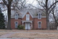 | Overfelt-Campbell-Johnston House | building | 1975 | 75001066 |
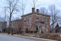 | Owens-McCoy House | building | 1994 | 94000321 |
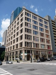 | Palace Clothing Company Building | building | 1985 | 85000102 |
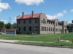 | Parade Park Maintenance Building | building | 2008 | 08000719 |
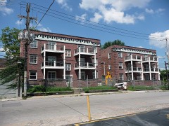 | Paris and Weaver Apartment Buildings | building | 2006 | 06000545 |
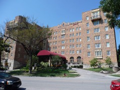 | Park Lane Apartments | building | 2004 | 04000387 |
| Park Manor Historic District | building | 2006 | 05001610 |
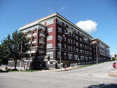 | Parkview, The | building | 2002 | 02001205 |
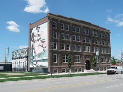 | Paseo YMCA | building | 1991 | 91001151 |
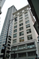 | George B. Peck Dry Goods Company Building | building | 1980 | 80002368 |
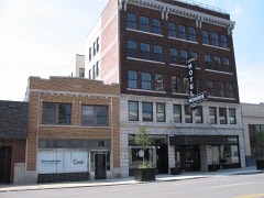 | Thomas J. Pendergast Headquarters | building | 2011 | 11000764 |
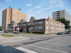 | Pennbroke Apartments | building | 2009 | 09000206 |
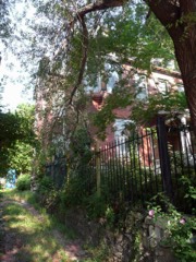 | Joseph Grear Peppard House | building | 1985 | 85000649 |
| Perfection Stove Company Building | building | 2014 | 14000376 |
| Charles and Josephine Peters House | building | 2016 | 16000085 |
| Nelle E. Peters Troost Avenue Historic District | district | 2009 | 09000552 |
| Phillis Wheatley School-Willis Chapel AME Church | building | 2026 | 100012644 |
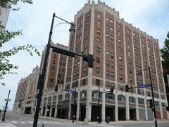 | Pickwick Hotel, Office Building, Parking Garage and Bus Terminal | building | 2005 | 05000220 |
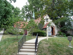 | Pilgrim Lutheran Church for the Deaf of Greater Kansas City and Parsonage | building | 2001 | 00000334 |
| Pink House | building | 1983 | 83001015 |
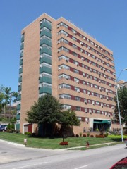 | Plaza House Apartments | building | 2013 | 13000837 |
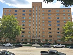 | Plaza Towers | building | 2016 | 16000030 |
| President Gardens Apartments Historic District | district | 1998 | 98001503 |
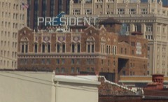 | President Hotel | building | 1983 | 83001016 |
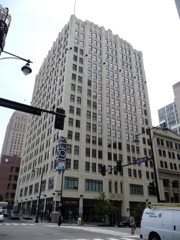 | Professional Building | building | 1979 | 79001373 |
| Quality Hill | district | 1978 | 78001657 |
| Quality Hill Center Historic District | district | 2017 | 100000824 |
| R. J. DeLano School for Crippled Children | building | 2022 | 100008203 |
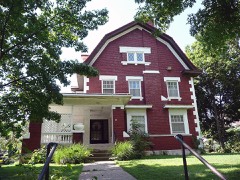 | William D. Repp House | building | 1983 | 83001017 |
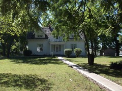 | Rice-Tremonti House | building | 1979 | 79001376 |
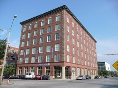 | Richards and Conover Hardware Company Building | building | 1999 | 98001636 |
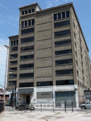 | Ridenour-Baker Grocery Company Building | building | 2014 | 14000161 |
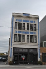 | Rieger Hotel | building | 2004 | 04000396 |
| Rockhill Neighborhood | district | 1975 | 75001068 |
| Bertrand Rockwell House | building | 1983 | 83001018 |
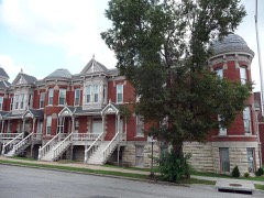 | Row House Building | building | 1978 | 78001658 |
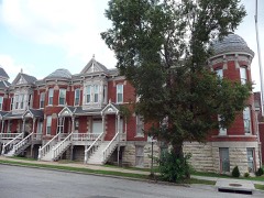 | Row House Buildings (Boundry Increase) | building | 1985 | 85000103 |
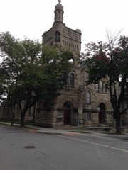 | Sacred Heart Church, School and Rectory | building | 1978 | 78001659 |
| Safeway No. 357 | building | 2023 | 100008688 |
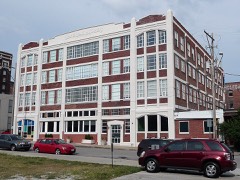 | Safeway Stores and Office and Warehouse Building | building | 2000 | 00000435 |
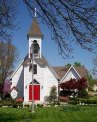 | Saint Paul's Episcopal Church | building | 1985 | 85002720 |
| Sanford B. Ladd School | building | 2021 | 100006918 |
| Santa Fe Place Historic District | district | 1986 | 86001204 |
| Santa Fe Trail-Minor Park, Kansas City, Trail Segments | site | 1994 | 94000617 |
| Santa Fe Trail-Santa Fe Trail Park, Independence Trail Segments | site | 1994 | 94000322 |
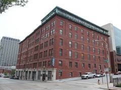 | Savoy Hotel and Grill | building | 1974 | 74001073 |
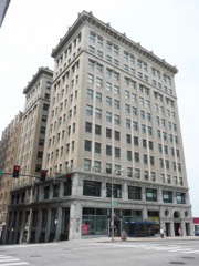 | Scarritt Building and Arcade | building | 1971 | 71000468 |
| Scarritt Point North Historic District | district | 1997 | 97001484 |
| Scarritt Point South Historic District | district | 1997 | 97001483 |
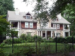 | Edward Lucky Scarritt House | building | 1977 | 77000809 |
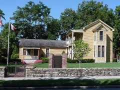 | Rev. Nathan Scarritt House | building | 1978 | 78001660 |
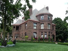 | William Chick Scarritt House | building | 1978 | 78001661 |
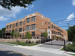 | Seven Oaks School | building | 2012 | 12000847 |
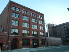 | Sewall Paint and Glass Company Building | building | 2002 | 02000469 |
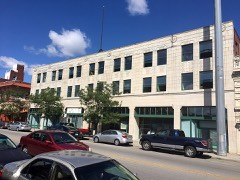 | Shankman Building | building | 2018 | 100002035 |
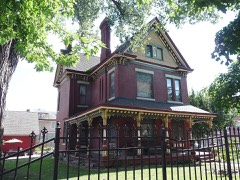 | William Francis Shelley House | building | 1978 | 78001662 |
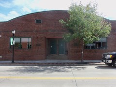 | Sherwood Manufacturing Company Building | building | 2010 | 10000204 |
| Simpson-Yeomans-Country Side Historic District (Boundary Increase II) | district | 2011 | 11000441 |
| Simpson-Yeomans-Country Side Historic District | district | 1984 | 84002576 |
| Simpson-Yeomans-Country Side Historic District (Boundary Increase) | district | 2000 | 00000538 |
| Smith and Sons Manufacturing Company Building | building | 2007 | 07001290 |
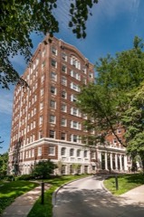 | Sophian Plaza | building | 1983 | 83001019 |
| South Hyde Park Historic District | district | 2007 | 07001186 |
| South Side Historic District | district | 1983 | 83001020 |
| Southeast Grand Avenue and Fifth Street Residential Historic District | building | 2011 | 11000216 |
| Southeast Green Street Historic Cottage District | district | 2010 | 10000837 |
| Southeast Third Street Residential Historic District | district | 2010 | 10000838 |
| Southeast Third Street and Southeast Corder Avenue Ranch House Historic District | district | 2011 | 11000669 |
| Southwest Market Street Historic District | district | 2013 | 13000038 |
| Southwest Third and Southwest Madison Historic District | district | 2013 | 13000004 |
| Southwestern Bell Administration Building | building | 2020 | 100005679 |
| Spofford Home for Children | building | 2016 | 16000545 |
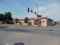 | E.R. and Sons Squibb Building | building | 2010 | 10000985 |
| Squier Park Historic District | district | 2012 | 12000232 |
| St. Francis Xavier Parish Church & Rectory | building | 2022 | 100007529 |
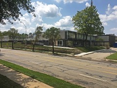 | St. Francis Xavier School | building | 2017 | 100001760 |
| St. John's High School and Seminary | district | 2021 | 100006589 |
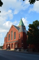 | St. Mary's Episcopal Church | building | 1978 | 78001663 |
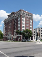 | St. Regis Hotel | building | 2013 | 13000885 |
| St. Stephen Baptist Church | building | 2026 | 100012645 |
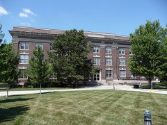 | St. Teresa's Academy Music and Arts Building | building | 2000 | 00001375 |
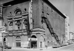 | Standard Theatre | building | 1974 | 74001074 |
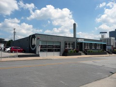 | Stenzel, R.O. & Company, Warehouse | building | 2007 | 07000702 |
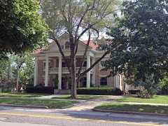 | Edward A. Stevens House | building | 2016 | 16000736 |
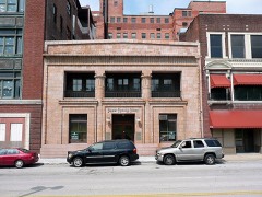 | Stine and McClure Undertaking Company Building | building | 1990 | 90001105 |
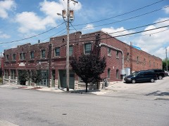 | Studna Garage Building | building | 2006 | 06000539 |
| Sunset Tower | building | 2021 | 100007263 |
| Sweeney Automobile and Tractor School | building | 2014 | 14000142 |
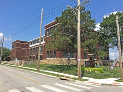 | E.F. Swinney School | building | 2013 | 13000838 |
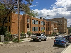 | Switzer School Buildings | building | 2009 | 09001098 |
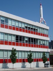 | TWA Corporate Headquarters' Building | building | 2002 | 02001403 |
| Temple Block Building | building | 1985 | 85001344 |
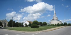 | Temple Site | site | 1970 | 70000334 |
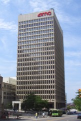 | Ten Main Center | building | 2015 | 15000760 |
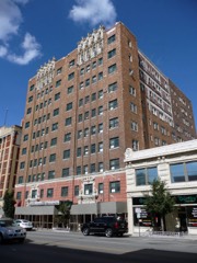 | Tocoma,The | building | 1979 | 79003782 |
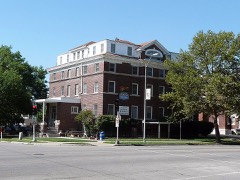 | Alfred Toll House | building | 1983 | 83001022 |
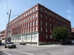 | Townley Metal & Hardware Company Building | building | 1994 | 94000286 |
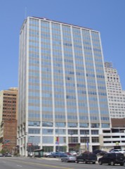 | Traders National Bank Building | building | 2016 | 16000233 |
| Triangle Battery and Service Company Building | building | 2003 | 03001058 |
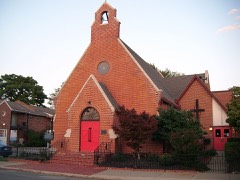 | Trinity Episcopal Church | building | 1979 | 79001366 |
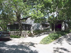 | Norman Tromanhauser House | building | 2001 | 01000014 |
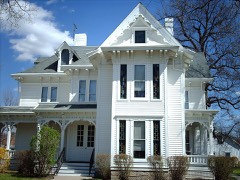 | Truman, Harry S, Historic District | district | 1971 | 71001066 |
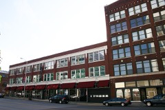 | Twenty-Twenty Grand Building | building | 2012 | 12000205 |
| Twenty-Ninth Street Colonnaded Apartments Historic District | district | 2007 | 07000018 |
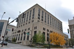 | U.S. Courthouse and Post Office-Kansas City, MO | building | 2007 | 07001231 |
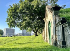 | Union Cemetery | site | 2016 | 16000183 |
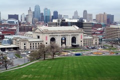 | Union Station | building | 1972 | 72000719 |
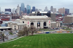 | Union Station (Boundary Increase) | building | 2004 | 04000393 |
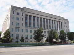 | United States Post Office-Kansas City | building | 2004 | 04000213 |
| Unity School of Christianity Historic District | district | 1989 | 89000246 |
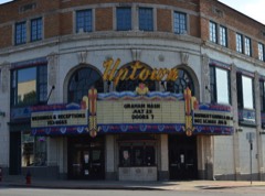 | Uptown Building and Theatre | building | 1979 | 79001374 |
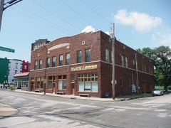 | Joe Vaccaro Soda Water Manufacturing Company Building | building | 2003 | 03001055 |
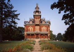 | Harvey M. Vaile Mansion | building | 1969 | 69000108 |
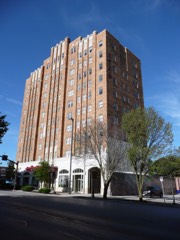 | Valentine on Broadway Hotel | building | 2008 | 08000745 |
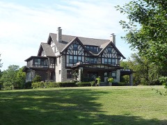 | Ira C. and Charles S. Van Noy Houses | building | 1987 | 87000505 |
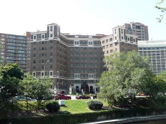 | Villa Serena Apartment Hotel | building | 2009 | 09000207 |
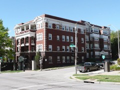 | Virginia Apartments | building | 2002 | 02001201 |
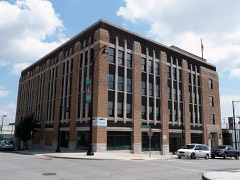 | Vitagraph Film Exchange Building | building | 2008 | 08000091 |
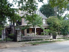 | William Volker House | building | 1993 | 93000408 |
| WILLIAM S. MITCHELL (dredge) | structure | 1985 | 85003102 |
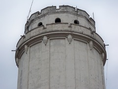 | Waldo Water Tower | structure | 1977 | 77000810 |
| Walnut Street Warehouse and Commercial Historic District | district | 1999 | 99001158 |
| Walnut Street Warehouse and Commercial Historic District (Boundary Increase II) | district | 2008 | 08001193 |
| Walnut Street Warehouse and Commercial Historic District (Boundary Increase) | building | 2008 | 07001320 |
| Walnut Street Warehouse and Commercial Historic District (Boundary Increase) | building | 2008 | 07001320 |
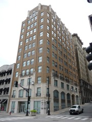 | Waltower Building | building | 2001 | 01000837 |
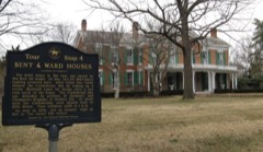 | Seth E. Ward Homestead | building | 1978 | 78001664 |
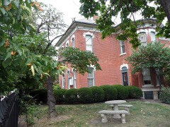 | Maj. William Warner House | building | 1977 | 77000811 |
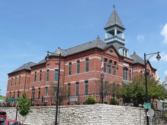 | Webster School | building | 1982 | 82003147 |
| West Bottoms Historic District (Boundary Increase) | district | 2022 | 100008207 |
| West Eleventh Street Historic District | district | 1982 | 82003148 |
| West Ninth Street-Baltimore Avenue Historic District | district | 1976 | 76001113 |
| West Ninth Street-Baltimore Avenue Historic District (Boundary Increase I) | district | 2002 | 01001413 |
| West Nitnth Street-Baltimore Avenue Historic District (Boundary Increase II) | building | 2010 | 10000824 |
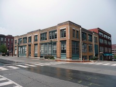 | Western Newspaper Union Building | building | 2007 | 07000170 |
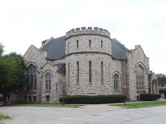 | Westminister Congregational Church | building | 1980 | 80002369 |
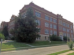 | Westport High School | building | 2015 | 14001239 |
| Westport Junior High School | building | 2014 | 14000162 |
| Wheatley-Provident Hospital | building | 2020 | 100005665 |
| Wholesale District | district | 1979 | 79001375 |
| Wholesale District (Boundary Increase) | district | 2013 | 13000193 |
| Wiltshire Apartment Hotel, The | building | 2014 | 14000377 |
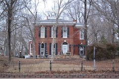 | Woodson-Sawyer House | building | 1986 | 86000457 |
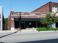 | F.W. Woolworth Building | building | 2005 | 05000372 |
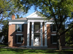 | Wornall House | building | 1969 | 69000109 |
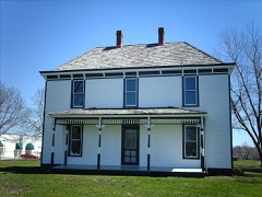 | Young, Solomon, Farm-Truman, Harry S., Farm | district | 1978 | 78001650 |
 Block