 Block
Jake Prairie, Missouri
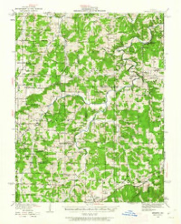
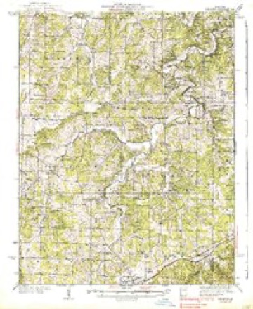
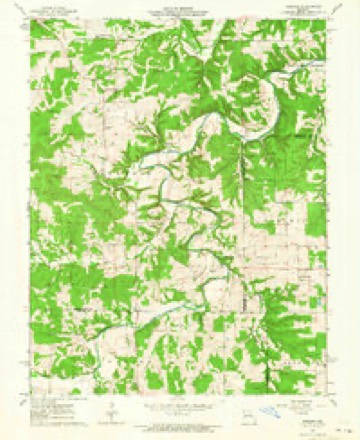
17 topographic sheets cover this place, the earliest surveyed in 1934 and the latest in 1985. It stands in Oak Hill Township. It lies in ZIP code area 65066. The Survey maps it on the Redbird quadrangle.
Topographic sheets covering this place
9 surveys from 17 printed sheetsMatched by testing this settlement's coordinate against the published boundary of every sheet in the United States Geological Survey's historical collection. Each opens the scanned sheet at the Survey.
- 1934 USGS Redbird quadrangle1:62500
- 1938 USGS Redbird quadrangle1:62500, 3 printings
- 1949 USGS Saint Louis quadrangle1:250000
- 1949 USGS St. Louis quadrangle1:250000
- 1962 USGS Redbird quadrangle1:24000, 2 printings
- 1962 USGS St. Louis quadrangle1:250000
- 1963 USGS St. Louis quadrangle1:250000, 4 printings
- 1966 USGS St. Louis quadrangle1:250000
- 1985 USGS Sullivan quadrangle1:100000, 3 printings





Fires near this place
28 since 1992Regional context, not property-specific evidence. The federal wildfire occurrence database lists 28 fires within 5 miles of Jake Prairie between 1992 and 2020, burning about 271 acres in total. None started naturally. None was recorded as arson. Distance is straight-line from the map coordinates, so a fire counted here may appear on a neighbouring settlement's page as well.
| Reported cause | Fires |
|---|---|
| Debris and open burning | 17 |
| Missing data/not specified/undetermined | 5 |
| Equipment and vehicle use | 3 |
| Recreation and ceremony | 3 |
The most recent of them, most recent first, with the day each was reported and the service that recorded it.
| Date | Cause | Size | Reported by | Name on the report |
|---|---|---|---|---|
| 17 August 1999 | Debris and open burning | 2.0 acres | Missouri Department of Conservation | not named |
| 2 May 2001 | Debris and open burning | 23 acres | Missouri Department of Conservation | not named |
| 2 April 1995 | Debris and open burning | 3.0 acres | Missouri Department of Conservation | not named |
| 19 April 2001 | Debris and open burning | 2.0 acres | Missouri Department of Conservation | not named |
| 7 March 2020 | Missing data/not specified/undetermined | 2.9 acres | Missouri Department of Conservation | 200567-03734-03072020-1320 |
| 7 March 2020 | Debris and open burning | under an acre | Missouri Department of Conservation | 261499-03731-03072020-1400 |
| 4 March 2020 | Recreation and ceremony | 2.9 acres | Missouri Department of Conservation | 261497-03731-03042020-1300 |
| 30 March 1992 | Missing data/not specified/undetermined | 1.0 acres | Missouri Department of Conservation | not named |
Settlements close enough to share some of these fires:
Mines and quarries near this place
10 of 38 shownRegional context, not property-specific evidence. The federal mineral resources record lists 38 workings within 5 miles of Jake Prairie: 36 past producers, 1 prospect, 1 unknown. None of them still produces. What was taken out: Fire Clay (Refractory), Clay, Iron, Stone, Crushed/Broken. Distance is straight-line from the map coordinates, so a quarry counted here may appear on a neighbouring settlement's page as well.
| Where | Site | Commodity | Status | Recorded |
|---|---|---|---|---|
| Red Bird Mine | Zinc | Past Producer | ||
| Unknown - Lead | Lead | Past Producer | ||
| Unknown - Ls | Stone, Crushed/Broken | Past Producer | ||
| Taylor Mine | Iron | Past Producer | ||
| Unknown - Iron | Iron | Past Producer | ||
| Bray-Kohrman Pit | Clay | Past Producer | ||
| John Holt Pit | Clay | Past Producer | ||
| Pauline Chenot Pit | Clay | Past Producer | ||
| Unknown - Clay | Clay | Past Producer | ||
| Unknown - Clay | Clay | Past Producer |
Storms near this place
11 since 2008Regional context, not property-specific evidence. The National Weather Service names Jake Prairie in 11 storm reports between 2008 and 2024: 7 flash flood, 2 tornado, 1 hail, 1 thunderstorm wind. No death or injury is recorded in these reports. Each account below is quoted exactly as the forecast office filed it, from the NOAA Storm Events Database, and each date opens the federal record of that event.
| When | Event | Place named | Harm | What the report says |
|---|---|---|---|---|
| June 2008 | Flash Flood | Jake Prairie | $1,000 | Two to four inches of rain fell on already saturated soils in northern Crawford county. Numerous secondary roads became flooded including parts of Highway 19 south of Cuba, Highway PP east of Cuba, and Highway N southeast of Bourbon. |
| May 2024 | Tornado (EF1) | Jake Prairie | - | A tornado touched down on Jakes Prairie Road, about 6.5 miles northwest of Cuba. It uprooted and snapped off several large trees, then it tracked to the east. As it approached Four Mile Road it either uprooted or snapped off several more large trees before lifting and dissipating on Pleasant Valley Road, just west of intersection with Highway 19. Overall, the tornado was rated EF1 with a path length of 2.24 miles and a max path width of 75 yards. No deaths or injuries were reported. |
| April 2021 | Flash Flood | Jake Prairie | - | Up to three inches of rain fell in a short amount of time onto already saturated soil. This caused flash flooding. In Cuba, the viaduct near the railroad tracks flooded. Also, portions of Highway 19 and Route PP were flooded. Sections of Highway N southeast of Bourbon were impassable. A number of low water crossings and roads in the Leasburg area were flooded and the water was several feet deep in these locations. |
| July 2020 | Flash Flood | Jake Prairie | - | Up to 4 inches of rain fell in a short amount of time causing flash flooding. Lakeshore Drive around Indian Lake was impassable which cutoff access to parts of the community. Numerous other roads in the area were flooded as well. |
| August 2015 | Thunderstorm Wind | Jake Prairie | - | A wide swath of wind damage extended across northern Crawford County, mainly trees and tree limbs. At the intersection of Highways F and EE, a large tree was blown down. Several large trees were blown down onto Highway WW, southwest of Sullivan. In Cuba, several large trees were blown down. |
| December 2015 | Flash Flood | Jake Prairie | - | Another round of heavy rain fell across Crawford County, with an additional 2 to 3 inches reported. Storm total rainfall was 5 to 8 inches from December 26th through December 28th. This second round caused numerous creeks to rise even more, including Huzzah Creek. It flooded a large camping/floating resort off of Highway 8 where Dry Creek empties into Huzzah Creek. Numerous roads were flooded as well. |
| December 2015 | Flash Flood | Jake Prairie | - | Between 3 and 6 inches of rain fell across Crawford County. There were numerous roads flooded including a two mile stretch of Route N southeast of Bourbon due to Blue Springs Creek, which was well out of its banks in several locations. |
| May 2010 | Flash Flood | Jake Prairie | - | Between 1 and 3 inches of rain fell in a short amount of time on already saturated soils causing flash flooding. Numerous roads were flooded including County Roads C and N near Bourbon, as well as low water crossings on County Road AA and TT. |
| December 2010 | Tornado (EF1) | Jake Prairie | - | The tornado touched down near Highway F and one quarter mile south of Jakes Prairie Road. Damage consisted of tree branches snapped. The next sign of damage was nearly two miles northeast of the first sign of damage, southwest of Four Mile Road and Brush Creek. There was some large tree limb damage west of the road along the creek. However a greater degree of tree damage occurred along Brush Creek east of Four Mile Road. This area of tree damage extended over 2 miles to the east-northeast. The width of the damage over this area was over 100 yards wide. ||The next point of damage was on Highway 19, half a mile south of State Highway C. Minor tree damage was noted at this location. Tree limbs up to six inches were snapped half way up the tree trunk. The tornado traveled northeast and damaged one home and one farmstead on Taylor road. The owner of the house that was damaged described the tornado as a swirling rain, which confirms that the tornado was completely rain wrapped. The house suffered damage to the roof and patio. Several medium to large trees were snapped half way up the trunk to the west of the home, which is about 75 to 100 yards away. The tornado crossed Taylor road and damaged several trees on a hill north of Taylor Road. Some of these trees were snapped near the base of the trunk. The tornado then hit the first of two more farmsteads. Several panels from a barn's roof were peeled off, but the overall structure was intact. The roofs of three machine sheds were also removed and tossed to the northeast. The width of the damage area was approximately 75 yards wide. ||The tornado skipped and caused minor damage to a barn and silo on a second farmstead on Ackermann Lane just south of Highway C. There were a few trees uprooted and large limbs were snapped over the upper parts of several medium size trees. Additional tops from trees were snapped a third of a mile southwest of Highways C and CC. The tornado then destroyed an evergreen tree along Highway C a quarter of a mile east of the intersection of Highways C and CC before lifting and dissipating. |
| March 2008 | Flash Flood | Jake Prairie | - | Two to three inches of rain fell onto already saturated soils in Crawford county from the evening hours of March 17th through March 18th. Numerous roads were flooded including Highway 19 southeast of Steelville. |
| June 2011 | Hail | Jake Prairie | - | no account filed |
Nearest settlements
The eight closest, with where each one stands in the county. Distances are straight-line, computed from the Geographic Names Information System coordinates.
| Map | Place | Distance | Sheets |
|---|---|---|---|
| Oak Hill | 5.6 miles | 19 | |
| Indian Lake | 5.9 miles | 19 | |
| Amanda | 8.9 miles | 19 | |
| Fanning | 9.0 miles | 19 | |
| Cuba | 9.0 miles | 19 | |
| Delhi | 9.0 miles | 18 | |
| Hofflins | 9.2 miles | 19 | |
| Iron Center | 9.4 miles | 19 |
Provenance
This settlement is recorded in the Geographic Names Information System as feature 740961. The sheet list is computed by point-in-boundary test against the United States Geological Survey's historical topographic inventory. Both are works of the United States government and carry no copyright under 17 U.S.C. 105.
Wildfire. Short, Karen C. 2022. Spatial wildfire occurrence data for the United States, 1992-2020 [FPA_FOD_20221014]. 6th Edition. Fort Collins, CO: Forest Service Research Data Archive. https://doi.org/10.2737/RDS-2013-0009.6 Collected with United States Government funding and usable without additional permissions or fees.
Mines and quarries. USGS Mineral Resources Data System (MRDS) https://mrdata.usgs.gov/mrds/ A work of the United States government, no copyright under 17 U.S.C. 105.
Storms. NOAA National Centers for Environmental Information, Storm Events Database https://www.ncei.noaa.gov/stormevents/ A work of the United States government, no copyright under 17 U.S.C. 105. Narratives are quoted verbatim from the National Weather Service report and are not edited or summarised.