 Block
Leeds, Missouri
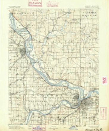
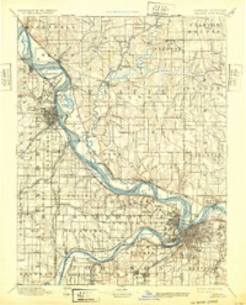
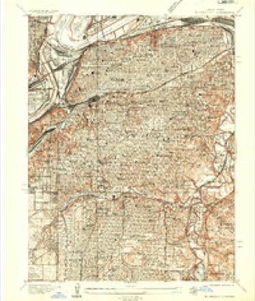
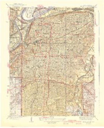
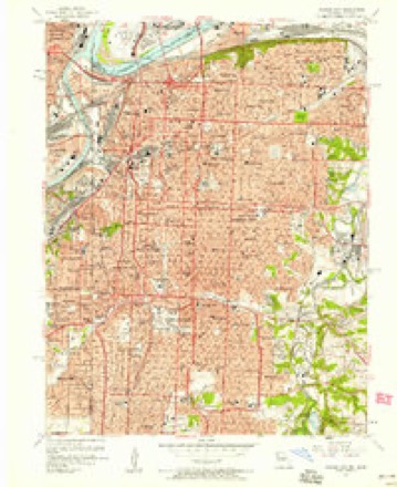
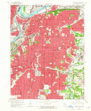
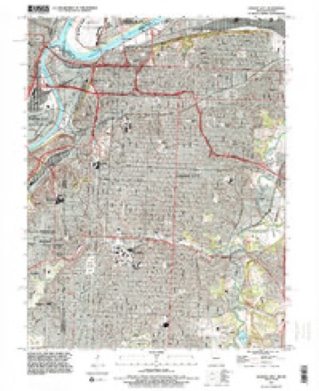
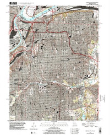
38 topographic sheets cover this place, the earliest surveyed in 1890 and the latest in 1996. It stands in Blue Township. It lies in ZIP code area 64129. It stands on Round Grove Creek. The Survey maps it on the Kansas City quadrangle.
On record in Leeds
Buildings and businesses the archive holds for this place. Each opens its own page, with the source record it came from.
On the National Register within a mile 1 record
The National Register names another town for these. They stand within one mile of this settlement's coordinate.
- ABC Storage & Van Company Warehouse Blisted 2022 · 0.8 miles away
Topographic sheets covering this place
13 surveys from 38 printed sheetsMatched by testing this settlement's coordinate against the published boundary of every sheet in the United States Geological Survey's historical collection. Each opens the scanned sheet at the Survey.
- 1890 USGS Kansas City quadrangle1:125000, 2 printings
- 1894 USGS Kansas City quadrangle1:125000, 14 printings
- 1935 USGS Kansas City quadrangle1:24000, 2 printings
- 1940 USGS Kansas City quadrangle1:31680, 3 printings
- 1950 USGS Kansas City quadrangle1:250000
- 1954 USGS Kansas City quadrangle1:250000
- 1956 USGS Kansas City quadrangle1:250000, 4 printings
- 1957 USGS Kansas City quadrangle1:24000
- 1960 USGS Kansas City quadrangle1:250000, 3 printings
- 1964 USGS Kansas City quadrangle1:24000, 3 printings
- 1983 USGS Kansas City quadrangle1:100000
- 1991 USGS Kansas City quadrangle1:24000, 2 printings
- 1996 USGS Kansas City quadrangle1:24000




In the county-history sources
6,365 words on this townshipThe History of Jackson County, Missouri, Containing a History of the County, Its Cities, Towns, Etc., Biographical Sketches of Its Citizens, Jackson County in the Late War... History of Missouri, Map of Jackson County .., published 1881 has no passage naming this settlement, which was common for smaller places. Its township is covered in full.
The chapter on Blue Township covers organized may 23, 1827, at first it included land in what is cass and bates counties, present boundaries and phyiscal features, blue township a favored locality, names of the pioneers, what the pioneers themselves say of early days.
Read the chapter on Blue Township - 6,365 words.
Fires near this place
73 since 2007Regional context, not property-specific evidence. The federal wildfire occurrence database lists 73 fires within 5 miles of Leeds between 2007 and 2008, burning about 150 acres in total. 1 started naturally. 7 were recorded as arson. Distance is straight-line from the map coordinates, so a fire counted here may appear on a neighbouring settlement's page as well.
| Reported cause | Fires |
|---|---|
| Missing data/not specified/undetermined | 48 |
| Recreation and ceremony | 9 |
| Arson/incendiarism | 7 |
| Debris and open burning | 3 |
| Smoking | 3 |
| Equipment and vehicle use | 2 |
| Natural | 1 |
The most recent of them, most recent first, with the day each was reported and the service that recorded it.
| Date | Cause | Size | Reported by | Name on the report |
|---|---|---|---|---|
| 7 September 2007 | Missing data/not specified/undetermined | 1.0 acres | Missouri State Fire Marshal's Office | not named |
| 7 September 2007 | Missing data/not specified/undetermined | 1.0 acres | Missouri State Fire Marshal's Office | not named |
| 7 September 2007 | Missing data/not specified/undetermined | under an acre | Missouri State Fire Marshal's Office | not named |
| 5 September 2007 | Missing data/not specified/undetermined | under an acre | Missouri State Fire Marshal's Office | not named |
| 4 September 2007 | Missing data/not specified/undetermined | under an acre | Missouri State Fire Marshal's Office | not named |
| 30 September 2007 | Missing data/not specified/undetermined | under an acre | Missouri State Fire Marshal's Office | not named |
| 28 September 2007 | Recreation and ceremony | 2.0 acres | Missouri State Fire Marshal's Office | not named |
| 27 September 2007 | Arson/incendiarism | 100 acres | Missouri State Fire Marshal's Office | not named |
Settlements close enough to share some of these fires:
Mines and quarries near this place
10 of 58 shownRegional context, not property-specific evidence. The federal mineral resources record lists 58 workings within 5 miles of Leeds: 57 past producers, 1 producer. 1 still produces. What was taken out: Stone, Crushed/Broken, Clay, Clay, Stone, Crushed/Broken, Sand and Gravel, Construction. Distance is straight-line from the map coordinates, so a quarry counted here may appear on a neighbouring settlement's page as well.
| Where | Site | Commodity | Status | Recorded |
|---|---|---|---|---|
| Unknown-Ls and Shale | Clay, Stone, Crushed/Broken | Past Producer | ||
| Unknown-S&G | Sand and Gravel, Construction | Past Producer | ||
| Doyle Rock Company Clay Pit | Clay | Past Producer | ||
| Unknown-Clay | Clay | Past Producer | ||
| Brush Creek Mine | Stone, Crushed/Broken | Past Producer | ||
| Centropolis Crusher Mine | Stone, Crushed/Broken | Producer | ||
| Clark Quarry | Stone, Crushed/Broken | Past Producer | ||
| Coyter Brothers Quarry | Stone, Crushed/Broken | Past Producer | ||
| Deity Hill Development Company Mine | Stone, Crushed/Broken | Past Producer | ||
| Elmer Quarry | Stone, Crushed/Broken | Past Producer |
Storms near this place
17 since 2013Regional context, not property-specific evidence. The National Weather Service names Leeds in 17 storm reports between 2013 and 2025: 8 thunderstorm wind, 6 flash flood, 1 hail, 1 lightning. No death or injury is recorded in these reports. Each account below is quoted exactly as the forecast office filed it, from the NOAA Storm Events Database, and each date opens the federal record of that event.
| When | Event | Place named | Harm | What the report says |
|---|---|---|---|---|
| June 2017 | Lightning | Leeds | $50,000 | Lightning strike caused a tree to catch fire which then fell on to a house and resulted in a house fire. |
| June 2025 | Thunderstorm Wind | Leeds | - | Downed wires near Norton Avenue. |
| June 2025 | Thunderstorm Wind | Leeds | - | Semi blown over near I-435 and Raytown Road. Multiple trees down east of this location. Potentially tornado damage. |
| June 2025 | Tornado (EF0) | Leeds | - | Storm survey found evidence of a 0.9 mile long EF-0 tornado near the Truman Sports Complex. |
| June 2025 | Thunderstorm Wind | Leeds | - | Multiple reports of tree limbs and wires down in the Raytown area south of the Truman Sports Complex. |
| May 2024 | Thunderstorm Wind | Leeds | - | Downed tree and wires near Lawn Avenue. |
| July 2017 | Flash Flood | Leeds | - | A water rescue took place at Cleveland and Emanuel Cleaver II Blvd near Country Club Plaza. |
| August 2017 | Flash Flood | Leeds | - | A water rescue was performed when a vehicle was swept into Round Grove Creek, along Raytown Road. |
| August 2017 | Flash Flood | Leeds | - | The road was closed at Emanuel Cleaver II Blvd and Elmwood Ave due to flash flooding. |
| June 2017 | Thunderstorm Wind | Leeds | - | A trained spotter reported a 70-80 mph wind. Power flashes occurred at the BP station across from Kauffman Stadium. |
| March 2017 | Thunderstorm Wind | Leeds | - | This report is all encompassing of numerous severe wind reports from across downtown Kansas City. Numerous trees were blown down and several buildings sustained more than cosmetic damage as a line of thunderstorms moved through the city. Several images of large structures with major damage to roofs and facades were seen on local news from across the metro. Winds near 70 mph were recorded at nearby Kansas City International Airport, but the damage around downtown Kansas City would suggest locally stronger wind gusts, perhaps approaching 80 mph. Despite the widespread damage there were no injuries reported with this activity in the immediate downtown portions of Kansas City. |
| July 2016 | Thunderstorm Wind | Leeds | - | A tree was down at 39th and Chelsea Avenue. |
| July 2015 | Flash Flood | Leeds | - | A water rescue was performed at Emmanuel Cleaver II Blvd and Elmood Dr. |
| June 2015 | Flash Flood | Leeds | - | There were water rescues at the intersection of Blue Parkway and Kensington Avenue. |
| June 2015 | Flash Flood | Leeds | - | Emanuel Cleaver II Blvd was closed due to running water over the top. |
| June 2013 | Thunderstorm Wind | Leeds | - | Several large tree limbs were reported down between Swope Park and the Paseo. Thunderstorm wind gusts were estimated up to 60 mph. |
| April 2013 | Hail | Leeds | - | Hail was observed in the Brookside area. |
Nearest settlements
The eight closest, with where each one stands in the county. Distances are straight-line, computed from the Geographic Names Information System coordinates.
| Map | Place | Distance | Sheets |
|---|---|---|---|
| Eastwood | 1.5 miles | 38 | |
| Centropolis | 2.5 miles | 26 | |
| Manchester School | 2.6 miles | 38 | |
| Blue Summit | 2.7 miles | 26 | |
| Englewood | 3.5 miles | 26 | |
| Mount Washington | 3.7 miles | 26 | |
| Athol | 3.8 miles | 26 | |
| Westport | 3.8 miles | 38 |
Provenance
This settlement is recorded in the Geographic Names Information System as feature 720891. The sheet list is computed by point-in-boundary test against the United States Geological Survey's historical topographic inventory. Both are works of the United States government and carry no copyright under 17 U.S.C. 105.
Wildfire. Short, Karen C. 2022. Spatial wildfire occurrence data for the United States, 1992-2020 [FPA_FOD_20221014]. 6th Edition. Fort Collins, CO: Forest Service Research Data Archive. https://doi.org/10.2737/RDS-2013-0009.6 Collected with United States Government funding and usable without additional permissions or fees.
Mines and quarries. USGS Mineral Resources Data System (MRDS) https://mrdata.usgs.gov/mrds/ A work of the United States government, no copyright under 17 U.S.C. 105.
Storms. NOAA National Centers for Environmental Information, Storm Events Database https://www.ncei.noaa.gov/stormevents/ A work of the United States government, no copyright under 17 U.S.C. 105. Narratives are quoted verbatim from the National Weather Service report and are not edited or summarised.