 Block
Metz, Missouri
20 topographic sheets cover this place, the earliest surveyed in 1886 and the latest in 1991. It stands in Metz Township. It lies in ZIP code area 64765. It stands on Townsend Slough. The Survey maps it on the Metz quadrangle. 22 people lived here at the 2020 count. It stands 787 feet above sea level.
Population over time
2 figuresMetz fell from 49 to 22 between 2010 and 2020. These are the recorded population figures Wikidata holds for this place, reached through the Geographic Names Information System number this page is keyed on rather than by name, so they belong to this place and not to another of the same name. Most are census counts, but not all are: an early figure may be a founding or settlement estimate, and an estimate published within five years of a census is left out. The change column is computed, and is left blank where more than 20 years separate a figure from the one before it, because a gap that long is not a change between two counts.
| Year | People | Change |
|---|---|---|
| 2010 | 49 | |
| 2020 | 22 | -27 (-55%) |
Topographic sheets covering this place
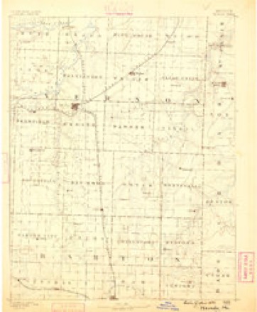
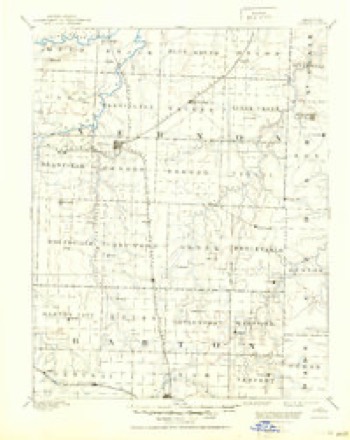
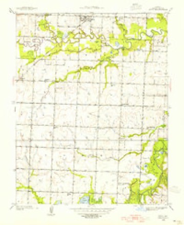
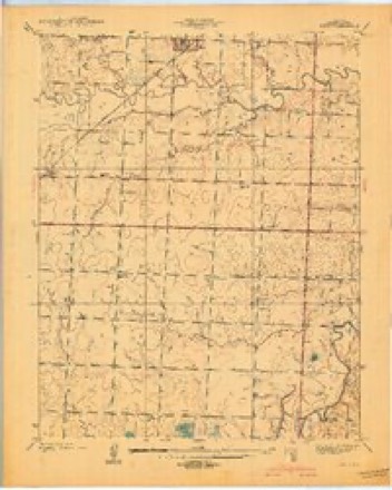
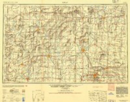
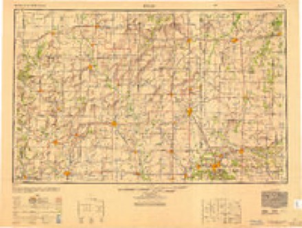
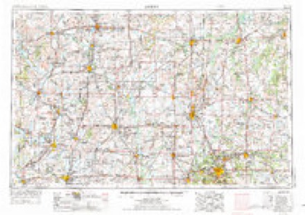
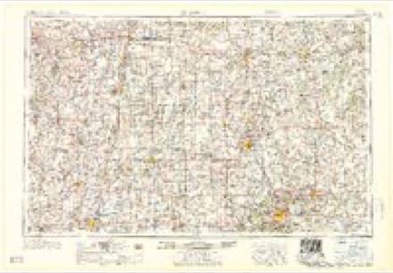
12 surveys from 20 printed sheetsMatched by testing this settlement's coordinate against the published boundary of every sheet in the United States Geological Survey's historical collection. Each opens the scanned sheet at the Survey.
- 1886 USGS Nevada quadrangle1:125000
- 1894 USGS Nevada quadrangle1:125000, 5 printings
- 1938 USGS Metz quadrangle1:24000, 2 printings
- 1939 USGS Metz quadrangle1:24000, 2 printings
- 1947 USGS Joplin quadrangle1:250000
- 1949 USGS Joplin quadrangle1:250000
- 1954 USGS Joplin quadrangle1:250000, 3 printings
- 1958 USGS Joplin quadrangle1:250000
- 1959 USGS Joplin quadrangle1:250000
- 1986 USGS Nevada quadrangle1:100000
- 1991 USGS Metz quadrangle1:24000
- 1991 USGS Nevada quadrangle1:100000
In the county-history sources
3,657 words on this townshipHistory of Vernon County, Missouri : Past and Present, Including an Account of the Cities, Towns and Villages of the County, published 1911 names this settlement in its chapter on Metz Township. These are the passages that mention it, exactly as the scans read.
Tlie first school in this township was taught at the house of Jesse Summers, in Pleasant Valley, near Metz, by Miss Mary Choate, afterward the wife of Dr. Leonard Dodge. The first school house, a small log building, was built at the Summers graveyard, some time after the year 1840. Mrs. Eliza Summers was one of the first teachers, but not the first. Peter Weyand was another early teacher.
Passage source: History of Vernon County, Missouri : Past and Present, Including an Account of the Cities, Towns and Villages of the County, published 1911.
The town of Metz, on Beed's branch, north of the Osage (sw. se. sec. 11-37-32) in this township, was established in the fall of 1870, during the Franco-Prussian war, and was named soon after General Bazaine's capitulation at Metz, and for that city. The locality was formerly known as Pleasant Valley. A fine steam planing mill gave the village some notoriety and attracted much custom.
Passage source: History of Vernon County, Missouri : Past and Present, Including an Account of the Cities, Towns and Villages of the County, published 1911.
A settlement on Reed's creek, about one and one-half miles east of where Metz is now located, had been called Pleasant Valley for several years. Finally a general merchandise store was opened. In the fall of 1870 the government was asked to establish a postoffice at the place. D. P. Swearingen, whom many knew as "Uncle Dave," was the merchant and he was chosen postmaster. "Pleasant Valley" was sent to the postal authorities as the name for the office. In course of time a letter was received stating that there was an office of that name in the state and it would be necessary to select another. "Uncle Dave" appointed three leading men of the village to do the christening. A meeting was held as per agreement, and though loath to give up Pleasant Valley, they decided to leave it to the postmaster's good judgment. "Uncle Dave" favored a short name. He had been reading the "Weekly Missouri Republican" (now the St. Louis "Republic") about the Franco-Prussian War and General Bazine's capitulation at Metz, one of the large cities of Germany.
Passage source: History of Vernon County, Missouri : Past and Present, Including an Account of the Cities, Towns and Villages of the County, published 1911.
Machine-read from a century-old scan, so expect the errors a machine makes: misspelled names, dropped words, stray characters.
Read the whole chapter on Metz Township - it names this place 18 more 18 times.
Fires near this place
8 since 2017Regional context, not property-specific evidence. The federal wildfire occurrence database lists 8 fires within 5 miles of Metz between 2017 and 2020, burning about 582 acres in total. None started naturally. 4 were recorded as arson. Distance is straight-line from the map coordinates, so a fire counted here may appear on a neighbouring settlement's page as well.
| Reported cause | Fires |
|---|---|
| Arson/incendiarism | 4 |
| Debris and open burning | 2 |
| Missing data/not specified/undetermined | 1 |
| Equipment and vehicle use | 1 |
The most recent of them, most recent first, with the day each was reported and the service that recorded it.
| Date | Cause | Size | Reported by | Name on the report |
|---|---|---|---|---|
| 8 April 2020 | Debris and open burning | 17 acres | Missouri Department of Conservation | 210529-10847-04082020-1830 |
| 8 February 2017 | Missing data/not specified/undetermined | 80 acres | Missouri Department of Conservation | not named |
| 4 February 2017 | Debris and open burning | 10 acres | Missouri Department of Conservation | not named |
| 21 February 2017 | Equipment and vehicle use | 3.0 acres | Missouri Department of Conservation | not named |
| 18 February 2017 | Arson/incendiarism | 400 acres | Missouri Department of Conservation | not named |
| 16 February 2017 | Arson/incendiarism | 1.0 acres | Missouri Department of Conservation | not named |
| 23 December 2019 | Arson/incendiarism | under an acre | Missouri Department of Conservation | 179683-10847-12232019-1910 |
| 31 January 2017 | Arson/incendiarism | 70 acres | Missouri Department of Conservation | not named |
Settlements close enough to share some of these fires:
Mines and quarries near this place
1 within 5 milesRegional context, not property-specific evidence. The federal mineral resources record lists 1 working within 5 miles of Metz: 1 producer. All of them still produce. What was taken out: Stone, Crushed/Broken. Distance is straight-line from the map coordinates, so a quarry counted here may appear on a neighbouring settlement's page as well.
| Where | Site | Commodity | Status | Recorded |
|---|---|---|---|---|
| Williamson Quarry No.4 | Stone, Crushed/Broken | Producer |
Storms near this place
15 since 2003Regional context, not property-specific evidence. The National Weather Service names Metz in 15 storm reports between 2003 and 2026: 5 thunderstorm wind, 5 hail, 2 tornado, 2 flood. No death or injury is recorded in these reports. Each account below is quoted exactly as the forecast office filed it, from the NOAA Storm Events Database, and each date opens the federal record of that event.
| When | Event | Place named | Harm | What the report says |
|---|---|---|---|---|
| April 2024 | Tornado (EF1) | Metz | $40,000 | A NWS storm survey determined that an EF-1 tornado occurred 3 miles ENE of Stotesbury in Vernon County, MO. The path length was 3.4 miles with a width of 95 yards. Maximum wind speeds of 95 mph destroyed two outbuildings and caused a number of trees to be either uprooted or have large limbs snapped. |
| April 2007 | Tornado (EF0) | Metz | $10,000 | A National Weather Service storm survey revealed that a small tornado intermittently touched down along a path from Metz to Walker. One barn was damaged along with numerous trees. |
| July 2015 | Thunderstorm Wind | Metz | $5,000 | There was a picture on Facebook of a tree that fell onto an outside AC unit near the city of Metz. |
| April 2026 | Hail | Metz | - | Hail up to ping pong balls in size were reported. |
| May 2025 | Flash Flood | Metz | - | Emergency Management reported water over the roadway. |
| July 2025 | Hail | Metz | - | Hail to the size of quarters fell in Metz per social media report. |
| April 2024 | Flood | Metz | - | The intersection of Highway MM and WW at Pryor Creek was flooded and impassable. |
| April 2024 | Flood | Metz | - | Highway WW at the Little Osage Crossing was flooded and impassable. |
| May 2019 | Hail | Metz | - | Nickle sized hail was reported. |
| May 2019 | Thunderstorm Wind | Metz | - | A trained spotter reported 60 to 70 mph wind gusts. |
| September 2012 | Thunderstorm Wind | Metz | - | A tree was uprooted and several large tree branches were blown down. |
| April 2007 | Thunderstorm Wind | Metz | - | Severe thunderstorm wind gusts downed tree limbs near Metz. |
| June 2008 | Hail | Metz | - | no account filed |
| April 2007 | Hail | Metz | - | no account filed |
| August 2003 | Thunderstorm Wind | Metz | - | no account filed |
Nearest settlements
The eight closest, with where each one stands in the county. Distances are straight-line, computed from the Geographic Names Information System coordinates.
| Map | Place | Distance | Sheets |
|---|---|---|---|
| Arthur | 4.1 miles | 17 | |
| Rinehart | 4.1 miles | 20 | |
| Horton | 4.4 miles | 19 | |
| Blaine | 4.5 miles | 20 | |
| Wolfe (historical) | 4.6 miles | 19 | |
| Rock | 4.9 miles | 19 | |
| Panama | 5.8 miles | 17 | |
| Stotesbury | 6.6 miles | 22 |
Elsewhere
Matched on this settlement's Geographic Names Information System number rather than its name, so it cannot be a different place of the same name in another state.
| Wikipedia article on Metz | An encyclopaedic summary. Its text is share-alike, so it is linked here rather than copied. |
| Wikidata item Q957027 | The structured record the population and elevation above come from. Public domain (CC0). |
Provenance
This settlement is recorded in the Geographic Names Information System as feature 729928. The sheet list is computed by point-in-boundary test against the United States Geological Survey's historical topographic inventory. Both are works of the United States government and carry no copyright under 17 U.S.C. 105.
Wildfire. Short, Karen C. 2022. Spatial wildfire occurrence data for the United States, 1992-2020 [FPA_FOD_20221014]. 6th Edition. Fort Collins, CO: Forest Service Research Data Archive. https://doi.org/10.2737/RDS-2013-0009.6 Collected with United States Government funding and usable without additional permissions or fees.
Mines and quarries. USGS Mineral Resources Data System (MRDS) https://mrdata.usgs.gov/mrds/ A work of the United States government, no copyright under 17 U.S.C. 105.
Storms. NOAA National Centers for Environmental Information, Storm Events Database https://www.ncei.noaa.gov/stormevents/ A work of the United States government, no copyright under 17 U.S.C. 105. Narratives are quoted verbatim from the National Weather Service report and are not edited or summarised.