 Block
Nelson, Missouri
18 topographic sheets cover this place, the earliest surveyed in 1887 and the latest in 1983. It stands in Arrow Rock Township. It lies in ZIP code area 65347. It stands on Salt Fork. The Survey maps it on the Nelson quadrangle. 152 people lived here at the 2020 count. It stands 673 feet above sea level.
Population over time
2 figuresNelson fell from 192 to 152 between 2010 and 2020. These are the recorded population figures Wikidata holds for this place, reached through the Geographic Names Information System number this page is keyed on rather than by name, so they belong to this place and not to another of the same name. Most are census counts, but not all are: an early figure may be a founding or settlement estimate, and an estimate published within five years of a census is left out. The change column is computed, and is left blank where more than 20 years separate a figure from the one before it, because a gap that long is not a change between two counts.
| Year | People | Change |
|---|---|---|
| 2010 | 192 | |
| 2020 | 152 | -40 (-21%) |
Topographic sheets covering this place
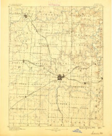
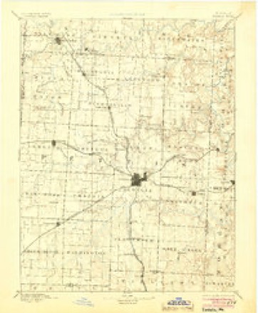
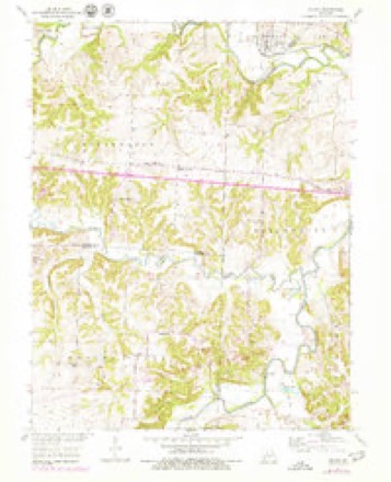
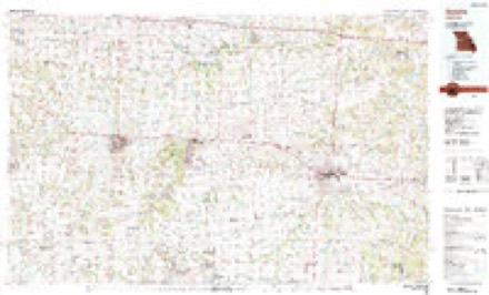
9 surveys from 18 printed sheetsMatched by testing this settlement's coordinate against the published boundary of every sheet in the United States Geological Survey's historical collection. Each opens the scanned sheet at the Survey.
- 1887 USGS Sedalia quadrangle1:125000
- 1894 USGS Sedalia quadrangle1:125000, 5 printings
- 1947 USGS Jefferson City quadrangle1:250000
- 1953 USGS Nelson quadrangle1:24000, 2 printings
- 1954 USGS Jefferson City quadrangle1:250000, 2 printings
- 1955 USGS Jefferson City quadrangle1:250000, 4 printings
- 1958 USGS Jefferson City quadrangle1:250000
- 1959 USGS Jefferson City quadrangle1:250000
- 1983 USGS Sedalia quadrangle1:100000





In the county-history sources
6,926 words on this townshipHistory of Saline County, Missouri, Carefully Written and Compiled from the Most Authentic Official and Private Sources ... with a Condensed History of Missouri; the State Constitution; a Military Record of Its Volunteers in Either Army of the Great Civil War ... Biographical Sketches of Prominent Men .., published 1881 names this settlement in its chapter on Arrow Rock Township. These are the passages that mention it, exactly as the scans read.
Schools. - For many years, owing to the scarcity of people, and their great distance from each other, our educational facilities were exceedingly limited. Our first school was taught by a widow lady, Mrs. Lavina Howe, just over in Cooper county, in her dwelling house. This was in 1834. Our next was taught by Rev. Thornton Rucker, a Baptist minister of sacred memory, in a small cabin built for the purpose in a grove, three-quarters of a mile northeast of our village location. He taught two wmters - 1838 and 1839. Our next school, the following winter, was taught by Rev. Wm. B. Wear, a Cumberland Presbyterian piinister, also of sacred memory, in his own house, who settled and then lived on the splendid farm now owned by S. R. Cockrell, and the widow of the late R. V. Harvey. The next two winters, by way of accommodation, the school went back into the edge of Cooper county, and was taught by another minister of the Cumberland Presbyterian Church, Rev. A. McCorkle. Next winter, by compromise, it was taught in a deserted cabin, on the farm now owned by L. M. Nelson, midway between the extremes of the settlement. Thus our school was portable until the year 1846, when a log cabin, of diminutive dimensions and humble pretensions, was reared near the site of our rather commodious house, which supplanted it in 1857 or '58. This last is located in West Ridge prairie, and the upper story owned and occupied by the Odd Fellows.
Machine-read from a century-old scan, so expect the errors a machine makes: misspelled names, dropped words, stray characters.
Fires near this place
15 since 2006Regional context, not property-specific evidence. The federal wildfire occurrence database lists 15 fires within 5 miles of Nelson between 2006 and 2019, burning about 15 acres in total. 1 started naturally. None was recorded as arson. Distance is straight-line from the map coordinates, so a fire counted here may appear on a neighbouring settlement's page as well.
| Reported cause | Fires |
|---|---|
| Missing data/not specified/undetermined | 5 |
| Debris and open burning | 5 |
| Recreation and ceremony | 2 |
| Smoking | 1 |
| Equipment and vehicle use | 1 |
| Natural | 1 |
The most recent of them, most recent first, with the day each was reported and the service that recorded it.
| Date | Cause | Size | Reported by | Name on the report |
|---|---|---|---|---|
| 2 September 2018 | Equipment and vehicle use | under an acre | Missouri Department of Conservation | 177773-02729-09022018-0230 |
| 25 August 2018 | Missing data/not specified/undetermined | under an acre | Missouri Department of Conservation | 177774-02729-08252018-0247 |
| 23 August 2018 | Missing data/not specified/undetermined | under an acre | Missouri Department of Conservation | 177775-02729-08232018-0820 |
| 11 July 2018 | Missing data/not specified/undetermined | under an acre | Missouri Department of Conservation | 177776-02729-07112018-1050 |
| 22 April 2019 | Missing data/not specified/undetermined | under an acre | Missouri Department of Conservation | 179318-02729-04222019-1445 |
| 21 April 2019 | Debris and open burning | under an acre | Missouri Department of Conservation | 179320-02729-04212019-0835 |
| 20 April 2018 | Debris and open burning | 2.0 acres | Missouri Department of Conservation | 177777-02729-04202018-1215 |
| 1 April 2019 | Smoking | under an acre | Missouri Department of Conservation | 179319-02729-04012019-1520 |
Settlements close enough to share some of these fires:
Mines and quarries near this place
10 of 11 shownRegional context, not property-specific evidence. The federal mineral resources record lists 11 workings within 5 miles of Nelson: 9 past producers, 2 producers. 2 still produce. What was taken out: Stone, Crushed/Broken, Barium-Barite, Lead, Lead, Barium-Barite. Distance is straight-line from the map coordinates, so a quarry counted here may appear on a neighbouring settlement's page as well.
| Where | Site | Commodity | Status | Recorded |
|---|---|---|---|---|
| Blackeagle Mine & Plant | Barium-Barite | Producer | ||
| Marmaduke Diggings | Barium-Barite, Lead, Zinc | Past Producer | ||
| Scott Mine | Lead | Past Producer | ||
| Mccauley-Widel | Barium-Barite, Lead | Producer | 1834, 1836 | |
| Poindexter Mine | Barium-Barite, Lead | Past Producer | ||
| Blackwater Quarry | Stone, Crushed/Broken | Past Producer | ||
| Colyer Brothers Quarry | Stone, Crushed/Broken | Past Producer | ||
| Unknown - Ls | Stone, Crushed/Broken | Past Producer | ||
| Unknown - Ls | Stone, Crushed/Broken | Past Producer | ||
| Unknown - Ls | Stone, Crushed/Broken | Past Producer |
Storms near this place
10 since 2000Regional context, not property-specific evidence. The National Weather Service names Nelson in 10 storm reports between 2000 and 2025: 5 thunderstorm wind, 4 hail, 1 tornado. No death or injury is recorded in these reports. Each account below is quoted exactly as the forecast office filed it, from the NOAA Storm Events Database, and each date opens the federal record of that event.
| When | Event | Place named | Harm | What the report says |
|---|---|---|---|---|
| June 2025 | Thunderstorm Wind | Nelson | - | Social media photo of downed trees in Nelson. |
| March 2023 | Hail | Nelson | - | A supercell produced 1.25 hail in Nelson in southeastern Saline County. |
| August 2011 | Thunderstorm Wind | Nelson | - | Thunderstorm wind gusts were estimated up to 60 mph. |
| August 2011 | Thunderstorm Wind | Nelson | - | Widespread tree damage was reported, with numerous trees reported down. Thunderstorm wind gusts were estimated up to 60 mph. |
| March 2006 | Tornado (F0) | Nelson | - | Satellite tornado developed south of the 2028-2046 CST tornado, then merged with that tornado 2045 CST near the Missouri River. Eyewitness accounts described this merger as visually similar to the 3/13/90 Hesston, Kansas tornado. |
| June 2000 | Thunderstorm Wind | Nelson | - | A large tree was down, blocking Highway H northwest of Nelson. |
| May 2008 | Hail | Nelson | - | no account filed |
| May 2003 | Thunderstorm Wind | Nelson | - | no account filed |
| April 2001 | Hail | Nelson | - | no account filed |
| May 2000 | Hail | Nelson | - | no account filed |
Nearest settlements
The eight closest, with where each one stands in the county. Distances are straight-line, computed from the Geographic Names Information System coordinates.
| Map | Place | Distance | Sheets |
|---|---|---|---|
| Ridge Prairie | 3.3 miles | 18 | |
| Napton | 4.8 miles | 18 | |
| Pipertown (historical) | 5.6 miles | 18 | |
| Hardeman | 6.6 miles | 18 | |
| Arrow Rock | 6.9 miles | 17 | |
| Wilton Springs | 7.2 miles | 18 | |
| Wanamaker (historical) | 9.1 miles | 18 | |
| Blue Lick | 9.5 miles | 18 |
Elsewhere
Matched on this settlement's Geographic Names Information System number rather than its name, so it cannot be a different place of the same name in another state.
| Wikipedia article on Nelson | An encyclopaedic summary. Its text is share-alike, so it is linked here rather than copied. |
| Wikidata item Q961857 | The structured record the population and elevation above come from. Public domain (CC0). |
Provenance
This settlement is recorded in the Geographic Names Information System as feature 723162. The sheet list is computed by point-in-boundary test against the United States Geological Survey's historical topographic inventory. Both are works of the United States government and carry no copyright under 17 U.S.C. 105.
Wildfire. Short, Karen C. 2022. Spatial wildfire occurrence data for the United States, 1992-2020 [FPA_FOD_20221014]. 6th Edition. Fort Collins, CO: Forest Service Research Data Archive. https://doi.org/10.2737/RDS-2013-0009.6 Collected with United States Government funding and usable without additional permissions or fees.
Mines and quarries. USGS Mineral Resources Data System (MRDS) https://mrdata.usgs.gov/mrds/ A work of the United States government, no copyright under 17 U.S.C. 105.
Storms. NOAA National Centers for Environmental Information, Storm Events Database https://www.ncei.noaa.gov/stormevents/ A work of the United States government, no copyright under 17 U.S.C. 105. Narratives are quoted verbatim from the National Weather Service report and are not edited or summarised.