 Block
Oak Grove, Missouri
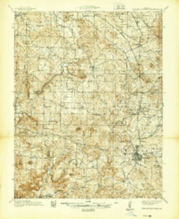
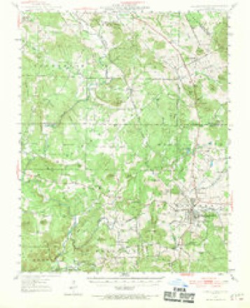
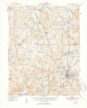
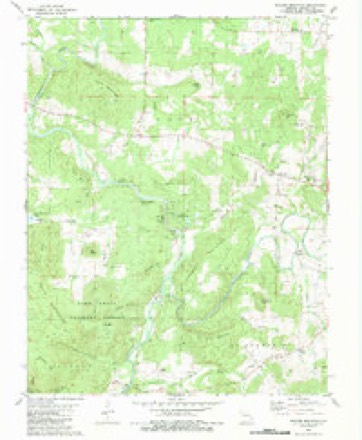
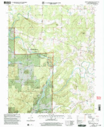
19 topographic sheets cover this place, the earliest surveyed in 1939 and the latest in 2000. It stands in Polk Township. It lies in ZIP code area 63645. It stands on Skrainka Creek. The Survey maps it on the Rhodes Mountain quadrangle.
Topographic sheets covering this place
16 surveys from 19 printed sheetsMatched by testing this settlement's coordinate against the published boundary of every sheet in the United States Geological Survey's historical collection. Each opens the scanned sheet at the Survey.
- 1939 USGS Fredericktown quadrangle1:48000
- 1947 USGS Fredericktown quadrangle1:62500
- 1949 USGS Rolla quadrangle1:250000
- 1950 USGS Fredericktown quadrangle1:62500, 2 printings
- 1953 USGS Rolla quadrangle1:250000
- 1954 USGS Rolla quadrangle1:250000, 2 printings
- 1958 USGS Rolla quadrangle1:250000
- 1959 USGS Rolla quadrangle1:250000
- 1960 USGS Rolla quadrangle1:250000
- 1966 USGS Rolla quadrangle1:250000
- 1971 USGS Rolla quadrangle1:250000
- 1980 USGS Rhodes Mountain quadrangle1:24000, 2 printings
- 1986 USGS Farmington quadrangle1:100000
- 1987 USGS Farmington quadrangle1:100000
- 1989 USGS Rolla quadrangle1:250000
- 2000 USGS Rhodes Mountain quadrangle1:24000
Fires near this place
44 since 1995Regional context, not property-specific evidence. The federal wildfire occurrence database lists 44 fires within 5 miles of Oak Grove between 1995 and 2020, burning about 154 acres in total. None started naturally. 1 was recorded as arson. Distance is straight-line from the map coordinates, so a fire counted here may appear on a neighbouring settlement's page as well.
| Reported cause | Fires |
|---|---|
| Debris and open burning | 26 |
| Missing data/not specified/undetermined | 12 |
| Equipment and vehicle use | 3 |
| Arson/incendiarism | 1 |
| Misuse of fire by a minor | 1 |
| Other causes | 1 |
The most recent of them, most recent first, with the day each was reported and the service that recorded it.
| Date | Cause | Size | Reported by | Name on the report |
|---|---|---|---|---|
| 8 September 2014 | Debris and open burning | 1.0 acres | Missouri Department of Conservation | not named |
| 6 September 2011 | Missing data/not specified/undetermined | 4.0 acres | Missouri Department of Conservation | not named |
| 24 September 2017 | Missing data/not specified/undetermined | 1.0 acres | Missouri Department of Conservation | not named |
| 20 September 2017 | Missing data/not specified/undetermined | under an acre | Missouri Department of Conservation | not named |
| 2 September 2011 | Equipment and vehicle use | 1.0 acres | Missouri Department of Conservation | not named |
| 29 July 2014 | Debris and open burning | 1.0 acres | Missouri Department of Conservation | not named |
| 17 June 2016 | Debris and open burning | 2.0 acres | Missouri Department of Conservation | 138072-06205-06172016-1758 |
| 4 May 2015 | Missing data/not specified/undetermined | under an acre | Missouri Department of Conservation | 124053-06205-05042015-1606 |
Settlements close enough to share some of these fires:
Mines and quarries near this place
10 of 75 shownRegional context, not property-specific evidence. The federal mineral resources record lists 75 workings within 5 miles of Oak Grove: 68 past producers, 5 prospects, 2 occurrences. None of them still produces. What was taken out: Stone, Crushed/Broken, Silver, Lead, Zinc, Zinc, Lead. Distance is straight-line from the map coordinates, so a quarry counted here may appear on a neighbouring settlement's page as well.
| Where | Site | Commodity | Status | Recorded |
|---|---|---|---|---|
| Einstein Mine | Lead, Silver, Tungsten, Zinc | Past Producer | 1855, 1877 | |
| Einstein Mine- Apex Mine | Copper, Lead, Silver, Tin, Tungsten, Zinc | Past Producer | 1855, 1877 | |
| Fox Mine | Cobalt, Lead, Copper, Nickel | Past Producer | Galena | |
| Hickory Nut No. 1 , 2 , 3 | Lead, Cobalt, Copper | Past Producer | Galena | |
| Killian Shaft | Cobalt, Nickel, Lead, Copper | Past Producer | ||
| Koch Shaft | Gold, Sulfur-Pyrite, Silica, Tungsten | Past Producer | ||
| Manganese Deposits | Manganese | Occurrence | ||
| Martin Mine | Lead, Tungsten, Zinc | Past Producer | ||
| Old Copper Mines | Lead, Copper, Cobalt, Nickel, Iron | Past Producer | Chalcopyrite, Linnaeite, Malachite | |
| Ozark Mine | Zinc, Tungsten, Silver, Lead | Past Producer |
Storms near this place
4 since 2006Regional context, not property-specific evidence. The National Weather Service names Oak Grove in 4 storm reports between 2006 and 2021: 2 tornado, 1 flash flood, 1 hail. The reports record 1 injury. Each account below is quoted exactly as the forecast office filed it, from the NOAA Storm Events Database, and each date opens the federal record of that event.
| When | Event | Place named | Harm | What the report says |
|---|---|---|---|---|
| October 2021 | Tornado (EF3) | Oak Grove | 1 hurt | The tornado touched down near the St. Francis River approximately 5.5 miles to the WSW of Fredericktown, MO, where it topped or snapped the trunks of several trees. The tornado continued to the northeast along the river and began impacting homes as it approached Fredericktown. Here the tornado ripped half of the roof off of one home, rolled a manufactured home onto its side, pulled roofing material from another home, and continued to cause considerable tree damage. The tornado widened to about 1/2 mile as it approached MO Highway 72 from the southwest, damaging multiple homes and businesses. A business on the south side of Highway 72 is where the only known injury took place, where an individual was hurt climbing out of the debris after the tornado had exited the area. The tornado strengthened as it moved north of Highway 72, completely destroying a number of homes. It was determined that the frames of these homes were largely only toe-nailed into their foundation, which precluded a higher rating than a low-end EF-3. The tornado then impacted the Black River Electric Co-op. Here the tornado ripped a well-built canopy from between two small warehouses, completely destroyed one of these small warehouses, and then completely destroyed a larger steel warehouse attached to the main office. The steel warehouse was very well constructed, with steel I-beams approximately 1 foot in width, bolted into the concrete foundation roughly every 20 feet. These beams spanned the roof of the structure and supported a thick, crimped sheet metal exterior. This is believed to be where the tornado reached peak intensity, with approximately 150 mph winds. The attached office fared notably better, sustaining mainly roof damage and the loss of several windows. The office was very well constructed, consisting of brick and concrete walls. The tornado then crossed US highway 67 and continued to cause considerable damage. Two newly built self-storage buildings with north facing bay doors were completely destroyed, while a third identical building with south facing doors was damaged, but remained standing. Two more homes were also impacted in this area. The roof was completely ripped from one of these homes, though most of the walls, which were bolted into the concrete foundation, were left standing. Only a few interior walls remained on the second home, though it appeared that the frame of this home was only toe-nailed into the foundation. The poor construction of the second home, and the lack of hurricane clips on the roof of the first, precluded a higher rating than EF-2 in this area. As the tornado continued northeast, it moved through additional residential areas, damaging several more homes and businesses. The tornado may have begun to weaken somewhat at this point, as the walls largely remained standing on most of these buildings. The tornado then began to move into more rural areas to the northeast of Fredericktown, where it caused consistent tree damage for several more miles, ripped most of the roof from one home, and completely destroyed a barn. The tornado may have briefly lifted as it moved into northeastern Madison County before coming back down and causing considerable tree damage along Madison county road 252. Along the Madison/Perry county line, where it moved into WFO Paducah's County Warning Area, the width was about 1/2 of a mile wide with numerous trees snapped and uprooted. The portion of the tornado path in Madison County was rated EF3 overall with a path length of 14.83 miles and a max path width of 880 yards. There was one injury and no deaths in Madison County. Overall, the tornado (Madison/Perry Counties) was rated EF3 with a path length of 18.95 miles and a max path width of 880 yards. There was one injury and no deaths with this tornado. |
| October 2016 | Hail | Oak Grove | - | A wide swath of large hail fell across the northern portions of Madison County. |
| February 2008 | Flash Flood | Oak Grove | - | Two to three inches of rain fell over portions of Madison county during the evening hours of February 5th. Standing water 6 to 8 inches deep was reported on portions of Highways 67 and 72 near Fredericktown. |
| March 2006 | Tornado (F1) | Oak Grove | - | The supercell thunderstorm that produced the Reynolds, Iron and Madison County tornado spawned another short lived tornado near Highway 72 and County Road 504 southeast of Oak Grove. A swath of trees were uprooted or snapped off. |
Nearest settlements
The eight closest, with where each one stands in the county. Distances are straight-line, computed from the Geographic Names Information System coordinates.
| Map | Place | Distance | Sheets |
|---|---|---|---|
| Lance | 3.2 miles | 19 | |
| Tin Mountain | 3.4 miles | 19 | |
| Catherine Place | 3.7 miles | 17 | |
| Creek Nation | 4.1 miles | 19 | |
| Fredericktown | 5.4 miles | 17 | |
| Millcreek | 5.5 miles | 17 | |
| Junction City | 5.7 miles | 17 | |
| Braddy Ford (historical) | 6.0 miles | 19 |
Elsewhere
Matched on this settlement's Geographic Names Information System number rather than its name, so it cannot be a different place of the same name in another state.
| Wikipedia article on Oak Grove | An encyclopaedic summary. Its text is share-alike, so it is linked here rather than copied. |
| Wikidata item Q7073483 | The structured record the population and elevation above come from. Public domain (CC0). |
Provenance
This settlement is recorded in the Geographic Names Information System as feature 751371. The sheet list is computed by point-in-boundary test against the United States Geological Survey's historical topographic inventory. Both are works of the United States government and carry no copyright under 17 U.S.C. 105.
Wildfire. Short, Karen C. 2022. Spatial wildfire occurrence data for the United States, 1992-2020 [FPA_FOD_20221014]. 6th Edition. Fort Collins, CO: Forest Service Research Data Archive. https://doi.org/10.2737/RDS-2013-0009.6 Collected with United States Government funding and usable without additional permissions or fees.
Mines and quarries. USGS Mineral Resources Data System (MRDS) https://mrdata.usgs.gov/mrds/ A work of the United States government, no copyright under 17 U.S.C. 105.
Storms. NOAA National Centers for Environmental Information, Storm Events Database https://www.ncei.noaa.gov/stormevents/ A work of the United States government, no copyright under 17 U.S.C. 105. Narratives are quoted verbatim from the National Weather Service report and are not edited or summarised.