 Block
Octa, Missouri
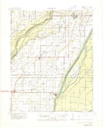
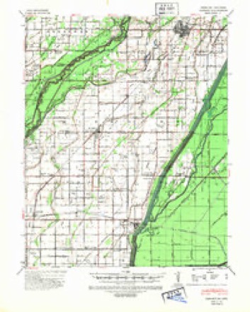
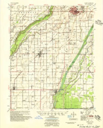
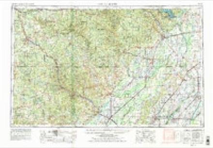
12 topographic sheets cover this place, the earliest surveyed in 1934 and the latest in 1984. It stands in Salem Township. It lies in ZIP code area 63876. The Survey maps it on the Kennett South quadrangle.
Topographic sheets covering this place
8 surveys from 12 printed sheetsMatched by testing this settlement's coordinate against the published boundary of every sheet in the United States Geological Survey's historical collection. Each opens the scanned sheet at the Survey.
- 1934 USGS Kennett quadrangle1:62500
- 1940 USGS Kennett quadrangle1:62500
- 1956 USGS Kennett quadrangle1:62500, 2 printings
- 1957 USGS Poplar Bluff quadrangle1:250000, 3 printings
- 1959 USGS Poplar Bluff quadrangle1:250000
- 1960 USGS Poplar Bluff quadrangle1:250000
- 1983 USGS Kennett South quadrangle1:24000
- 1984 USGS Paragould quadrangle1:100000, 2 printings
Storms near this place
4 since 2009Regional context, not property-specific evidence. The National Weather Service names Octa in 4 storm reports between 2009 and 2025: 2 thunderstorm wind, 1 hail, 1 tornado. No death or injury is recorded in these reports. Each account below is quoted exactly as the forecast office filed it, from the NOAA Storm Events Database, and each date opens the federal record of that event.
| When | Event | Place named | Harm | What the report says |
|---|---|---|---|---|
| March 2025 | Tornado (EF1) | Octa | $350,000 | A tornado touched down shortly before 1 AM CDT along State Highway A between County Roads 516 and 526. The tornado moved northeast, causing multiple irrigation pivots to be overturned, downing numerous power poles, and snapping trees southwest of Kennett. Numerous homes suffered roof damage north of US Highway 412 and the South Bypass, along State Route VV, East 7th Street, and South Anthony Street. As the tornado crossed the intersection of Highway 412 and Highway 25, additional wooden power poles were damaged, trees were uprooted, and damage was caused to several businesses and a motel. Some homes had roof damage on Seely Street and Legion Street. The tornado continued northeast, with additional irrigation pivots overturned. A small barn outbuilding was destroyed as the tornado crossed the Dunklin and Pemiscot County line. Peak winds were estimated at 110 mph. |
| May 2024 | Hail | Octa | - | Baseball sized hail (2.75 inches) fell east of the Cash Memorial Conservation Area. |
| June 2011 | Thunderstorm Wind | Octa | - | Straight line winds knocked down the back wall of a farm shop near County Road 535. The roof was also ripped off the shop. Several trees were also knocked down in Kennett. |
| May 2009 | Thunderstorm Wind | Octa | - | Winds were estimated at 70 mph 6 miles southwest of Kennett. |
Nearest settlements
The eight closest, with where each one stands in the county. Distances are straight-line, computed from the Geographic Names Information System coordinates.
| Map | Place | Distance | Sheets |
|---|---|---|---|
| Johnson Mill | 1.1 miles | 12 | |
| Dillman | 1.4 miles | 12 | |
| Austin | 2.0 miles | 12 | |
| Scobeville | 2.8 miles | 12 | |
| Vincit | 2.9 miles | 12 | |
| Caruth | 3.2 miles | 12 | |
| Senath | 3.2 miles | 12 | |
| Nesbit | 5.6 miles | 12 |
Provenance
This settlement is recorded in the Geographic Names Information System as feature 723693. The sheet list is computed by point-in-boundary test against the United States Geological Survey's historical topographic inventory. Both are works of the United States government and carry no copyright under 17 U.S.C. 105.
Storms. NOAA National Centers for Environmental Information, Storm Events Database https://www.ncei.noaa.gov/stormevents/ A work of the United States government, no copyright under 17 U.S.C. 105. Narratives are quoted verbatim from the National Weather Service report and are not edited or summarised.