 Block
Old Monroe, Missouri
27 topographic sheets cover this place, the earliest surveyed in 1903 and the latest in 1993. It stands in Monroe Township. It lies in ZIP code area 63369. The Survey maps it on the Winfield quadrangle. 249 people lived here at the 2020 count. It stands 440 feet above sea level.
Population over time
2 figuresOld Monroe fell from 265 to 249 between 2010 and 2020. These are the recorded population figures Wikidata holds for this place, reached through the Geographic Names Information System number this page is keyed on rather than by name, so they belong to this place and not to another of the same name. Most are census counts, but not all are: an early figure may be a founding or settlement estimate, and an estimate published within five years of a census is left out. The change column is computed, and is left blank where more than 20 years separate a figure from the one before it, because a gap that long is not a change between two counts.
| Year | People | Change |
|---|---|---|
| 2010 | 265 | |
| 2020 | 249 | -16 (-6%) |
Topographic sheets covering this place
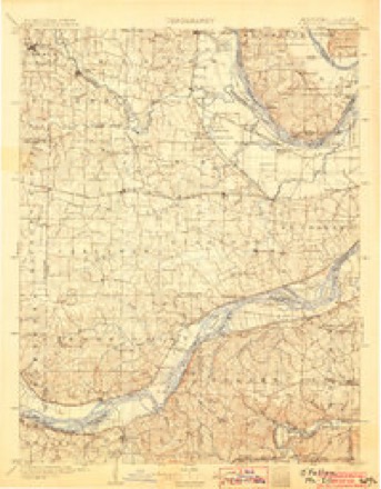
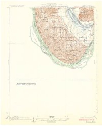
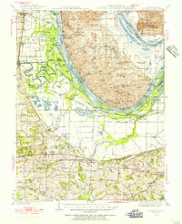
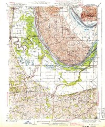
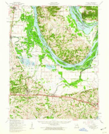
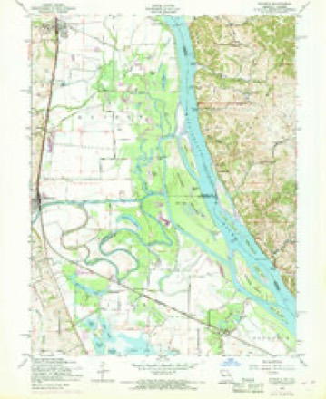
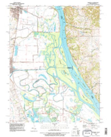
13 surveys from 27 printed sheetsMatched by testing this settlement's coordinate against the published boundary of every sheet in the United States Geological Survey's historical collection. Each opens the scanned sheet at the Survey.
- 1903 USGS O'Fallon quadrangle1:125000, 5 printings
- 1931 USGS Brussels quadrangle1:62500, 2 printings
- 1939 USGS Brussels quadrangle1:62500
- 1943 USGS Brussels quadrangle1:62500, 2 printings
- 1949 USGS Saint Louis quadrangle1:250000
- 1949 USGS St. Louis quadrangle1:250000
- 1954 USGS Brussels quadrangle1:62500, 2 printings
- 1954 USGS Winfield quadrangle1:24000, 3 printings
- 1962 USGS St. Louis quadrangle1:250000
- 1963 USGS St. Louis quadrangle1:250000, 4 printings
- 1966 USGS St. Louis quadrangle1:250000
- 1985 USGS St Louis quadrangle1:100000, 3 printings
- 1993 USGS Winfield quadrangle1:24000






In the county-history sources
1,290 words on this townshipHistory of Lincoln County, Missouri, from the Earliest Time to the Present, published 1888 names this settlement in its chapter on Monroe Township. These are the passages that mention it, exactly as the scans read.
Monroe, or "Old Monroe," as it is commonly called, is situated on the St. Louis, Keokuk & Northwestern Railroad, at the crossing of the Cuivre, the town being wholly on the north sido of the river. It is located in the southeastern part of Lincoln County, and, having been the first county seat thereof, it is one of the most historic places in the county. It is also noted for the beautiful mounds that have been constructed there in former ages. The site is beautiful, but the town is small. The original town was laid out some time prior to 1819, by Ira and Almond Cottle and Nathaniel Simonds, the original proprietors. A large portion of it was donated in 1819 to the county for the seat of justice. The large brick house now owned and occupied by Herman Niemeyer was built some seventy-eight years ago, about the year 1810. The county was organized in this house, and the courts held therein while the county seat remained at Monroe. In August, 1820, Almond Cottle was licensed to keep a "tavern," the fee being §10 for a year. It is presumed that this is the house in which the "tavern " was kept. With the exception of the Niemeyer residence there had been nothing at Monroe, in the way of buildings, for many years, until the railroad drew near its completion, when it began to revive. It was re-surveyed in 1880 by Charles Du Bois, a civil engineer, and since that time the town as it now exists has principally been built. It contains two general stores kept, respectively, by Albert Isen stein and Herman Niemeyer; a hotel, grocery and livery stable by W. H. Pollard; a hotel by Henry H. Pieper, and a blacksmith shop by Herman Brunes. Isenstein also deals in furniture and farm implements. There is a daily mail between Monroe and Chain of Rocks. The railroad bridge, across the Cuivre at Monroe, has twice been swept away by the pressure of drift collected when the water was high. On the last occasion the drift contained 1,600 saw logs, which floated from the Cuivre and its tributaries. The present bridge is a magnificent one, made mostly of iron. During the last year immense cribs of stone have been constructed in the river, above the bridge piers, to prevent the drift from striking them. It is believed that these cribs of stone will be sufficient to resist the pressure of any amount of drift that will be likely to collect in the future, and thus enable it to be broken and floated down between the piers without injury to the bridge.
Passage source: History of Lincoln County, Missouri, from the Earliest Time to the Present, published 1888.
Machine-read from a century-old scan, so expect the errors a machine makes: misspelled names, dropped words, stray characters.
Fires near this place
1 since 2011Regional context, not property-specific evidence. The federal wildfire occurrence database lists 1 fire within 5 miles of Old Monroe in 2011, burning about 2 acres in total. None started naturally. None was recorded as arson. Distance is straight-line from the map coordinates, so a fire counted here may appear on a neighbouring settlement's page as well.
| Reported cause | Fires |
|---|---|
| Missing data/not specified/undetermined | 1 |
The most recent of them, most recent first, with the day each was reported and the service that recorded it.
| Date | Cause | Size | Reported by | Name on the report |
|---|---|---|---|---|
| 5 October 2011 | Missing data/not specified/undetermined | 2.0 acres | Missouri Department of Conservation | not named |
Settlements close enough to share some of these fires:
Mines and quarries near this place
8 within 5 milesRegional context, not property-specific evidence. The federal mineral resources record lists 8 workings within 5 miles of Old Monroe: 6 past producers, 2 producers. 2 still produce. What was taken out: Sand and Gravel, Construction. Distance is straight-line from the map coordinates, so a quarry counted here may appear on a neighbouring settlement's page as well.
| Where | Site | Commodity | Status | Recorded |
|---|---|---|---|---|
| Glacial Sand & Gravel Pit & Plant | Sand and Gravel, Construction | Producer | ||
| Kimaterials Sand & Gravel Pit/Plant | Sand and Gravel, Construction | Producer | ||
| Unknown S&G | Sand and Gravel, Construction | Past Producer | ||
| Unknown S&G | Sand and Gravel, Construction | Past Producer | ||
| Unknown S&G | Sand and Gravel, Construction | Past Producer | ||
| Unknown S&G | Sand and Gravel, Construction | Past Producer | ||
| Unknown S&G | Sand and Gravel, Construction | Past Producer | ||
| Unknown S&G | Sand and Gravel, Construction | Past Producer |
Storms near this place
13 since 1996Regional context, not property-specific evidence. The National Weather Service names Old Monroe in 13 storm reports between 1996 and 2020: 6 thunderstorm wind, 4 hail, 3 flash flood. No death or injury is recorded in these reports. Each account below is quoted exactly as the forecast office filed it, from the NOAA Storm Events Database, and each date opens the federal record of that event.
| When | Event | Place named | Harm | What the report says |
|---|---|---|---|---|
| August 2020 | Flash Flood | Old Monroe | - | Up to 6 inches of rain fell in about a three hour period causing flash flooding, especially across the far southern portions of the county. Numerous roads were flooded in this area including the intersection of Highway 79 and Highway C. |
| January 2013 | Thunderstorm Wind | Old Monroe | - | Thunderstorm winds blew down three trees that were at least a foot in diameter as well as several power lines around town. |
| October 2009 | Flash Flood | Old Monroe | - | Up to three inches of rain fell in a short amount of time on saturated soils causing flash flooding. Numerous roads were flooded and Myers Road, about 5 miles south of Troy, had about 100 yards washed out due to Big Creek overflowing its banks. |
| June 2009 | Flash Flood | Old Monroe | - | Up to two inches of rain fell in a short amount of time causing flash flooding. Three feet of water was over Highway C west of Old Monroe. A water rescue had to be performed when a car drove into the flood waters and was washed into a ditch. No injuries were reported. |
| May 2008 | Hail | Old Monroe | - | Local fire department personnel reported hail up to golf ball size fell near Highway OO and C. |
| July 2006 | Thunderstorm Wind | Old Monroe | - | Some shingles were blown off of a home. |
| June 2005 | Thunderstorm Wind | Old Monroe | - | Amateur radio spotters reported several power poles bent over at a 45 degree angle along Highway 79. |
| May 2002 | Thunderstorm Wind | Old Monroe | - | The County Sheriff reported wind gusts around 60 mph. Several trees were downed in the area. |
| May 2006 | Hail | Old Monroe | - | no account filed |
| May 2006 | Hail | Old Monroe | - | no account filed |
| August 1999 | Thunderstorm Wind | Old Monroe | - | no account filed |
| November 1998 | Thunderstorm Wind | Old Monroe | - | no account filed |
| June 1996 | Hail | Old Monroe | - | no account filed |
Nearest settlements
The eight closest, with where each one stands in the county. Distances are straight-line, computed from the Geographic Names Information System coordinates.
| Map | Place | Distance | Sheets |
|---|---|---|---|
| Maryknoll | 1.7 miles | 22 | |
| Brevator | 1.8 miles | 27 | |
| Chain of Rocks | 3.1 miles | 22 | |
| Highview (historical) | 3.7 miles | 22 | |
| Ethlyn | 4.2 miles | 22 | |
| Winfield | 4.5 miles | 27 | |
| Cap au Gris | 5.5 miles | 27 | |
| Fountain N' Lakes | 6.0 miles | 22 |
Elsewhere
Matched on this settlement's Geographic Names Information System number rather than its name, so it cannot be a different place of the same name in another state.
| Wikipedia article on Old Monroe | An encyclopaedic summary. Its text is share-alike, so it is linked here rather than copied. |
| Wikidata item Q954167 | The structured record the population and elevation above come from. Public domain (CC0). |
Provenance
This settlement is recorded in the Geographic Names Information System as feature 735766. The sheet list is computed by point-in-boundary test against the United States Geological Survey's historical topographic inventory. Both are works of the United States government and carry no copyright under 17 U.S.C. 105.
Wildfire. Short, Karen C. 2022. Spatial wildfire occurrence data for the United States, 1992-2020 [FPA_FOD_20221014]. 6th Edition. Fort Collins, CO: Forest Service Research Data Archive. https://doi.org/10.2737/RDS-2013-0009.6 Collected with United States Government funding and usable without additional permissions or fees.
Mines and quarries. USGS Mineral Resources Data System (MRDS) https://mrdata.usgs.gov/mrds/ A work of the United States government, no copyright under 17 U.S.C. 105.
Storms. NOAA National Centers for Environmental Information, Storm Events Database https://www.ncei.noaa.gov/stormevents/ A work of the United States government, no copyright under 17 U.S.C. 105. Narratives are quoted verbatim from the National Weather Service report and are not edited or summarised.