 Block
Olden, Missouri
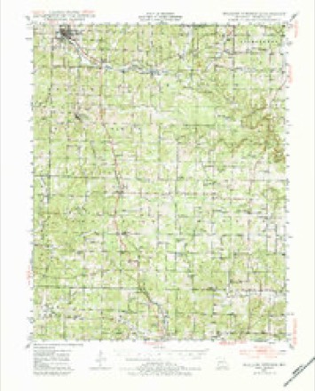
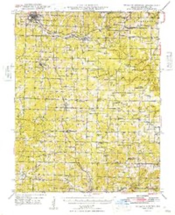
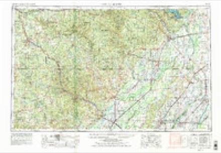
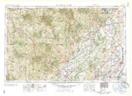
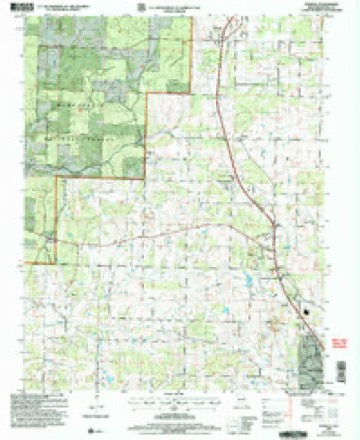
14 topographic sheets cover this place, the earliest surveyed in 1945 and the latest in 2004. It stands in Dry Creek Township. It lies in ZIP code area 65789. The Survey maps it on the Pomona quadrangle.
Topographic sheets covering this place
9 surveys from 14 printed sheetsMatched by testing this settlement's coordinate against the published boundary of every sheet in the United States Geological Survey's historical collection. Each opens the scanned sheet at the Survey.
- 1945 USGS Willow Springs quadrangle1:62500, 3 printings
- 1948 USGS Willow Springs quadrangle1:62500
- 1957 USGS Poplar Bluff quadrangle1:250000, 3 printings
- 1959 USGS Poplar Bluff quadrangle1:250000
- 1960 USGS Poplar Bluff quadrangle1:250000
- 1976 USGS Willow Springs SW quadrangle1:24000
- 1984 USGS West Plains quadrangle1:100000, 2 printings
- 1986 USGS Pomona quadrangle1:24000
- 2004 USGS Pomona quadrangle1:24000
Fires near this place
98 since 1992Regional context, not property-specific evidence. The federal wildfire occurrence database lists 98 fires within 5 miles of Olden between 1992 and 2020, burning about 939 acres in total. 2 started naturally. 28 were recorded as arson. Distance is straight-line from the map coordinates, so a fire counted here may appear on a neighbouring settlement's page as well.
| Reported cause | Fires |
|---|---|
| Debris and open burning | 35 |
| Arson/incendiarism | 28 |
| Missing data/not specified/undetermined | 22 |
| Railroad operations and maintenance | 5 |
| Equipment and vehicle use | 3 |
| Natural | 2 |
| Recreation and ceremony | 1 |
| Misuse of fire by a minor | 1 |
| Smoking | 1 |
The most recent of them, most recent first, with the day each was reported and the service that recorded it.
| Date | Cause | Size | Reported by | Name on the report |
|---|---|---|---|---|
| 19 September 2000 | Arson/incendiarism | 12 acres | Mark Twain National Forest | GOAT |
| 31 August 2000 | Arson/incendiarism | 4.0 acres | Mark Twain National Forest | INSURANCE |
| 31 August 1995 | Equipment and vehicle use | 40 acres | Missouri Department of Conservation | not named |
| 19 August 1993 | Natural | 1.0 acres | Missouri Department of Conservation | not named |
| 9 July 1997 | Missing data/not specified/undetermined | 1.0 acres | Missouri Department of Conservation | not named |
| 7 July 2014 | Equipment and vehicle use | 1.0 acres | Missouri Department of Conservation | not named |
| 6 May 1993 | Railroad operations and maintenance | 1.0 acres | Missouri Department of Conservation | not named |
| 4 May 2001 | Arson/incendiarism | 16 acres | Mark Twain National Forest | IVY |
Settlements close enough to share some of these fires:
Mines and quarries near this place
10 of 28 shownRegional context, not property-specific evidence. The federal mineral resources record lists 28 workings within 5 miles of Olden: 15 past producers, 9 prospects, 2 producers, 1 occurrence. 2 still produce. What was taken out: Iron, Stone, Crushed/Broken, Sand and Gravel, Construction, Zinc. Distance is straight-line from the map coordinates, so a quarry counted here may appear on a neighbouring settlement's page as well.
| Where | Site | Commodity | Status | Recorded |
|---|---|---|---|---|
| Claude Lawrence Pit | Sand and Gravel, Construction | Producer | 1908, 1910 | |
| Dowhen & Napier | Zinc | Prospect | ||
| P T Henry Prospect | Lead, Zinc | Prospect | ||
| Unknown - Clay | Clay | Past Producer | ||
| Unknown - Lead | Lead | Past Producer | ||
| Doss and Harper Mill | Stone, Crushed/Broken | Producer | ||
| Kilkenny Lime Quarry | Stone, Crushed/Broken | Past Producer | ||
| A.H. Livingston-Mine #2 | Iron | Past Producer | 1900, 1901 | |
| Big Clark Mine | Iron | Past Producer | ||
| George Christopher Prospect | Iron | Prospect | 1942 |
Storms near this place
42 since 2008Regional context, not property-specific evidence. The National Weather Service names Olden in 42 storm reports between 2008 and 2026: 14 thunderstorm wind, 11 hail, 6 heavy rain, 5 flash flood. The reports record 2 deaths. Each account below is quoted exactly as the forecast office filed it, from the NOAA Storm Events Database, and each date opens the federal record of that event.
| When | Event | Place named | Harm | What the report says |
|---|---|---|---|---|
| April 2011 | Flash Flood | Olden | 1 killed, $3,000,000 | The Missouri Highway Patrol reported that a 65 year old man was swept off the road and drowned by a flooded creek near the the intersection of County Road 4740 and County Road 5130. This section of the road was not a low water crossing. The stream is an unnamed small headwater tributary to Spring Creek.||The city of West Plains experienced historical flash flooding on the evening of April 23rd. Areas around the city flooded due to very heavy rainfall. It was estimated about a million dollars of damage occurred with this event alone.||The total cost estimate for flooding damages for Howell County for this entire episode has been included. This includes roads, bridges, and structures which were affected. |
| April 2013 | Lightning | Olden | 1 killed | The Howell County Coroner reported that a lightning strike caused the death of a woman near Pomona. Time was estimated by radar and thunderstorms in the area. |
| May 2009 | Tornado (EF3) | Olden | $500,000 | A National Weather Service storm survey revealed that an EF-3 tornado impacted a rural area just north of Pomona. The tornado destroyed a frame home. Several cars were thrown 50 yards while two school buses were knocked over. One mobile home and one travel trailer were destroyed, and two outbuildings along with an auto shop were destroyed. |
| April 2026 | Hail | Olden | $150,000 | Golf ball sized hail was reported just southwest of the Airport. A few vehicles suffered minor damage. |
| April 2025 | Hail | Olden | $150,000 | Hail up to the size of tennis balls was reported just south of Pomona in a fairly rural part of Howell County. A few homes and businesses saw minor damage occur to roofs and vehicles. |
| April 2026 | Hail | Olden | $100,000 | Hen egg sized hail was reported in a mainly rural area. Minor damage occurred to a few vehicles, a home and some outbuildings. |
| March 2022 | Thunderstorm Wind | Olden | $10,000 | A large tree was down on power lines. |
| April 2015 | Thunderstorm Wind | Olden | $10,000 | Several power lines were reported down in Pomona. |
| March 2017 | Thunderstorm Wind | Olden | $5,000 | There was minor damage to a business located on County Road 1820 and Highway 63 in the community of Olden. A roof was blown off a building and electric wire was pulled from the building. Several large tree limbs were blown down on to power lines and a transformer. |
| May 2013 | Tornado (EF1) | Olden | $5,000 | A tornado uprooted numerous trees along its 4 mile path. Several bales of hay were picked up and thrown. An outbuilding was destroyed near a dairy farm. The width of the path was estimated about a quarter of a mile wide. Estimated maximum winds were up to 100 mph. |
| July 2018 | Thunderstorm Wind | Olden | $2,000 | Severe thunderstorm wind gusts damaged a sign and some awning panels at a gas station. |
| April 2026 | Hail | Olden | - | Hail to the size of tennis balls was reported in a mainly rural area. |
| April 2026 | Hail | Olden | - | Quarter sized hail was reported. |
| April 2026 | Hail | Olden | - | Golf ball sized hail was reported in a mainly rural area. |
| April 2026 | Thunderstorm Wind | Olden | - | Winds estimated at 60mph were reported. |
| April 2026 | Thunderstorm Wind | Olden | - | A tree was reported down on County Road 4870. |
| April 2025 | Flood | Olden | - | Highway 63 was shut down due to flooding from heavy rainfall. |
| April 2025 | Flash Flood | Olden | - | Route U was closed due to Highwater at a low water area. |
| March 2025 | Hail | Olden | - | Hail to the size of half dollars fell in Pomona. |
| May 2025 | Heavy Rain | Olden | - | Storm total rainfall amount of 3.85 inches from May 23 through May 27. |
| August 2025 | Thunderstorm Wind | Olden | - | The ASOS station in West Plains reported a 58 mph wind gust. |
| August 2024 | Heavy Rain | Olden | - | The West Plains ASOS station measured 3.45 inches of storm total rainfall. |
| November 2024 | Heavy Rain | Olden | - | The KUNO ASOS station in West Plains measured a 2-day rainfall total of 8.50 inches. |
| March 2023 | Flood | Olden | - | State Highway U was closed due to flooding of a low water area. |
| April 2023 | Thunderstorm Wind | Olden | - | The West Plains ASOS recorded a 61mph wind gust. |
| May 2020 | Thunderstorm Wind | Olden | - | The West Plains ASOS recorded as 59 MPH wind gust. |
| May 2019 | Heavy Rain | Olden | - | The West Plains ASOS recorded a 24 hour rainfall total of 2.74 inches. |
| March 2018 | Heavy Rain | Olden | - | The weather station at West Plains Airport reported 1.47 inches of rainfall in 24 hours. |
| August 2018 | Thunderstorm Wind | Olden | - | The ASOS at the West Plains Regional Airport reported a 54 knot wind gust. |
| April 2017 | Flash Flood | Olden | - | The fire department reported numerous high water rescues across Howell County. Numerous people were evacuated from homes and numerous basements flooded. |
| June 2016 | Thunderstorm Wind | Olden | - | Numerous large tree limbs were blown down around the Pomona area. The KUNO ASOS measured a 49 mph peak wind gust near the wind damage. |
| May 2013 | Thunderstorm Wind | Olden | - | A tree was blown down. |
| August 2013 | Flash Flood | Olden | - | Highway U was closed due to flooding. |
| June 2012 | Heavy Rain | Olden | - | A one hour rainfall accumulation was recorded near West Plains. |
| March 2012 | Flood | Olden | - | A car stalled out in a low water crossing northwest of West Plains on County Road 5130. The roadway was closed. |
| August 2011 | Thunderstorm Wind | Olden | - | West Plains ASOS measured a 68 mph wind gust. |
| December 2008 | Flash Flood | Olden | - | Excessive rain caused flooding across County Road 2320. |
| April 2008 | Thunderstorm Wind | Olden | - | A 62 mph thunderstorm wind gust was measured by the West Plains ASOS. |
| April 2018 | Hail | Olden | - | no account filed |
| October 2014 | Hail | Olden | - | no account filed |
| February 2012 | Hail | Olden | - | no account filed |
| April 2008 | Hail | Olden | - | no account filed |
Nearest settlements
The eight closest, with where each one stands in the county. Distances are straight-line, computed from the Geographic Names Information System coordinates.
| Map | Place | Distance | Sheets |
|---|---|---|---|
| Pomona | 2.3 miles | 14 | |
| Grimmet | 6.3 miles | 13 | |
| White Church | 6.7 miles | 12 | |
| Burnham | 6.9 miles | 14 | |
| West Plains | 7.9 miles | 17 | |
| Summers Addition | 8.3 miles | 17 | |
| Hutton Valley | 8.9 miles | 14 | |
| Horton | 9.0 miles | 13 |
Provenance
This settlement is recorded in the Geographic Names Information System as feature 751430. The sheet list is computed by point-in-boundary test against the United States Geological Survey's historical topographic inventory. Both are works of the United States government and carry no copyright under 17 U.S.C. 105.
Wildfire. Short, Karen C. 2022. Spatial wildfire occurrence data for the United States, 1992-2020 [FPA_FOD_20221014]. 6th Edition. Fort Collins, CO: Forest Service Research Data Archive. https://doi.org/10.2737/RDS-2013-0009.6 Collected with United States Government funding and usable without additional permissions or fees.
Mines and quarries. USGS Mineral Resources Data System (MRDS) https://mrdata.usgs.gov/mrds/ A work of the United States government, no copyright under 17 U.S.C. 105.
Storms. NOAA National Centers for Environmental Information, Storm Events Database https://www.ncei.noaa.gov/stormevents/ A work of the United States government, no copyright under 17 U.S.C. 105. Narratives are quoted verbatim from the National Weather Service report and are not edited or summarised.