 Block
Orchard Farm, Missouri
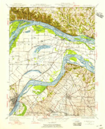
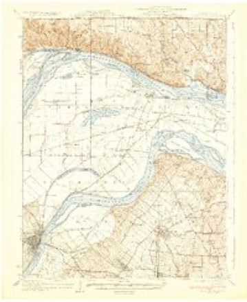
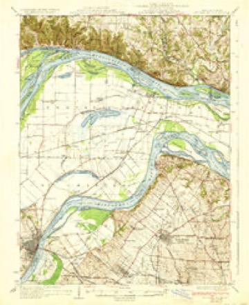
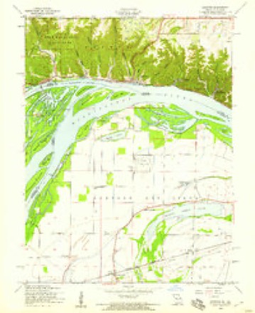
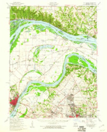
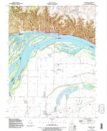
23 topographic sheets cover this place, the earliest surveyed in 1927 and the latest in 1990. It stands in Rivers Township. It lies in ZIP code area 63301. The Survey maps it on the Grafton quadrangle.
Topographic sheets covering this place
12 surveys from 23 printed sheetsMatched by testing this settlement's coordinate against the published boundary of every sheet in the United States Geological Survey's historical collection. Each opens the scanned sheet at the Survey.
- 1927 USGS St. Charles quadrangle1:62500, 2 printings
- 1933 USGS Saint Charles quadrangle1:62500
- 1933 USGS St. Charles quadrangle1:62500, 2 printings
- 1949 USGS Saint Louis quadrangle1:250000
- 1949 USGS St. Louis quadrangle1:250000
- 1954 USGS Grafton quadrangle1:24000, 4 printings
- 1954 USGS St. Charles quadrangle1:62500, 2 printings
- 1962 USGS St. Louis quadrangle1:250000
- 1963 USGS St. Louis quadrangle1:250000, 4 printings
- 1966 USGS St. Louis quadrangle1:250000
- 1985 USGS St Louis quadrangle1:100000, 3 printings
- 1990 USGS Grafton quadrangle1:24000






Mines and quarries near this place
5 within 5 milesRegional context, not property-specific evidence. The federal mineral resources record lists 5 workings within 5 miles of Orchard Farm: 5 past producers. None of them still produces. What was taken out: Stone, Crushed/Broken, Sand and Gravel, Construction. Distance is straight-line from the map coordinates, so a quarry counted here may appear on a neighbouring settlement's page as well.
| Where | Site | Commodity | Status | Recorded |
|---|---|---|---|---|
| Unk | Sand and Gravel, Construction | Past Producer | ||
| Unk | Sand and Gravel, Construction | Past Producer | ||
| Calhoun Quarry | Stone, Crushed/Broken | Past Producer | ||
| Osborne Quarry | Stone, Crushed/Broken | Past Producer | ||
| Unk | Stone, Crushed/Broken | Past Producer |
Storms near this place
33 since 1996Regional context, not property-specific evidence. The National Weather Service names Orchard Farm in 33 storm reports between 1996 and 2026: 27 thunderstorm wind, 4 hail, 1 flood, 1 flash flood. The reports record 2 deaths. Each account below is quoted exactly as the forecast office filed it, from the NOAA Storm Events Database, and each date opens the federal record of that event.
| When | Event | Place named | Harm | What the report says |
|---|---|---|---|---|
| May 2019 | Flood | Orchard Farm | 2 killed | The Mississippi River went into Major flood at Grafton, IL on May 3rd and remained at those levels through May 16th. During this period, numerous roads were flooded. Two people were in a vehicle that drove into the flood waters somewhere near the intersection of Sioux Drive and Hideaway Harbor Drive. They drowned in this location. The car and bodies of a 20 year old man and a 19 year old woman were not recovered til the 24th of May once the water receded a bit. |
| March 2026 | Thunderstorm Wind | Orchard Farm | $41,100 | Thunderstorm winds caused damage to multiple structures in St. Charles County. A roof was removed from an older, open-side car/boat shed along Wilson Road in St. Charles. A barn in northwest St. Charles County sustained significant damage. Winds also broke 3 power poles. |
| June 2018 | Thunderstorm Wind | Orchard Farm | $34,000 | A wide swath of damaging winds moved across the eastern half of St. Charles County. There were numerous reports of large trees, tree branches and power lines blown down. In Portage Des Sioux at two local marinas on the Mississippi River, several boats were cast into the main channel. Also, a dock was flipped over as well as a pickup truck. Near West Alton, a wooden barn was flattened and several large trees blown down. Winds were estimated between 60 and 80 MPH in the Portage Des Sioux area. |
| August 2020 | Flash Flood | Orchard Farm | - | Up to 7 inches of rain fell in about a four hour period causing widespread flash flooding. Numerous roads were flooded across the county, including Highway 79 at Vomund Road, Winghaven Blvd and Highway N, and Belleau Creek Road just south of intersection with Veterans Memorial Parkway. At least 5 motorists drove into the flood waters across the county, became stuck and had to be rescued. Also, the first floor of a two story apartment building on Riverview Lane (just north of the intersection with Highway 94) in St. Charles, MO was flooded with several feet of water. Residents from 12 of the units had to be evacuated from the apartment building. Several basements were flooded and at least one home near Belleau Creek had several feet of water in it. No injuries or deaths were reported. |
| April 2016 | Thunderstorm Wind | Orchard Farm | - | Thunderstorm winds caused minor damage to two buildings. The rubber roof membrane was lifted by the winds allowing some water into the buildings. |
| May 2016 | Thunderstorm Wind | Orchard Farm | - | Thunderstorm winds blew down a couple of trees in Portage Des Sioux. Also, a barn under construction sustained major damage. |
| June 2015 | Thunderstorm Wind | Orchard Farm | - | Thunderstorm winds blew down numerous large tree limbs around town. |
| May 2015 | Thunderstorm Wind | Orchard Farm | - | Numerous large tree limbs were blown down around Orchard Farm. |
| April 2013 | Thunderstorm Wind | Orchard Farm | - | Thunderstorm winds blew down several large trees and tree limbs on Island Road north of intersection with Highway H. Also, a number of power poles were blown down along Highway 94 between Portage Des Sioux and West Alton. Highway 94 was shutdown for a time due to power poles and lines across the roadway. |
| May 2013 | Thunderstorm Wind | Orchard Farm | - | Two large trees were blown down, which in turn knocked down a couple of power lines. |
| September 2012 | Thunderstorm Wind | Orchard Farm | - | Thunderstorm winds blew down a large tree. The tree briefly blocked Blase Station Road just north of the railroad tracks. |
| March 2025 | Hail | Orchard Farm | - | no account filed |
| February 2023 | Thunderstorm Wind | Orchard Farm | - | no account filed |
| March 2022 | Thunderstorm Wind | Orchard Farm | - | no account filed |
| April 2021 | Thunderstorm Wind | Orchard Farm | - | no account filed |
| July 2021 | Thunderstorm Wind | Orchard Farm | - | no account filed |
| August 2021 | Thunderstorm Wind | Orchard Farm | - | no account filed |
| December 2021 | Thunderstorm Wind | Orchard Farm | - | no account filed |
| April 2020 | Thunderstorm Wind | Orchard Farm | - | no account filed |
| March 2019 | Thunderstorm Wind | Orchard Farm | - | no account filed |
| March 2017 | Thunderstorm Wind | Orchard Farm | - | no account filed |
| April 2014 | Thunderstorm Wind | Orchard Farm | - | no account filed |
| May 2013 | Thunderstorm Wind | Orchard Farm | - | no account filed |
| June 2011 | Thunderstorm Wind | Orchard Farm | - | no account filed |
| May 2011 | Thunderstorm Wind | Orchard Farm | - | no account filed |
| June 2010 | Thunderstorm Wind | Orchard Farm | - | no account filed |
| March 2009 | Thunderstorm Wind | Orchard Farm | - | no account filed |
| March 2007 | Hail | Orchard Farm | - | no account filed |
| June 2005 | Thunderstorm Wind | Orchard Farm | - | no account filed |
| May 2002 | Thunderstorm Wind | Orchard Farm | - | no account filed |
| June 2000 | Thunderstorm Wind | Orchard Farm | - | no account filed |
| May 1998 | Hail | Orchard Farm | - | no account filed |
| May 1996 | Hail | Orchard Farm | - | no account filed |
Nearest settlements
The eight closest, with where each one stands in the county. Distances are straight-line, computed from the Geographic Names Information System coordinates.
| Map | Place | Distance | Sheets |
|---|---|---|---|
| Blase | 1.7 miles | 25 | |
| Wilkie | 2.6 miles | 23 | |
| Marais Croche | 3.2 miles | 25 | |
| Boschertown | 3.4 miles | 25 | |
| Vans Camp | 3.4 miles | 27 | |
| Seeburger | 3.5 miles | 28 | |
| Black Walnut | 4.0 miles | 26 | |
| South Shore | 4.2 miles | 28 |
Provenance
This settlement is recorded in the Geographic Names Information System as feature 756480. The sheet list is computed by point-in-boundary test against the United States Geological Survey's historical topographic inventory. Both are works of the United States government and carry no copyright under 17 U.S.C. 105.
Mines and quarries. USGS Mineral Resources Data System (MRDS) https://mrdata.usgs.gov/mrds/ A work of the United States government, no copyright under 17 U.S.C. 105.
Storms. NOAA National Centers for Environmental Information, Storm Events Database https://www.ncei.noaa.gov/stormevents/ A work of the United States government, no copyright under 17 U.S.C. 105. Narratives are quoted verbatim from the National Weather Service report and are not edited or summarised.