 Block
Patton, Missouri
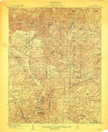
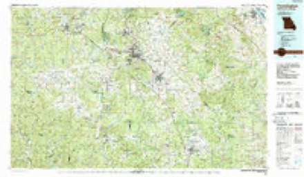
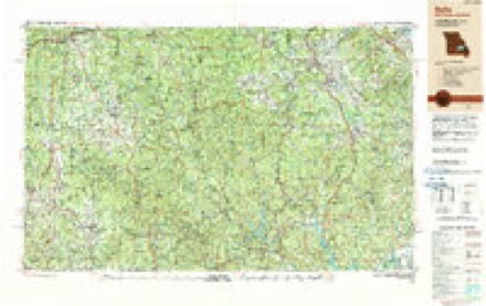
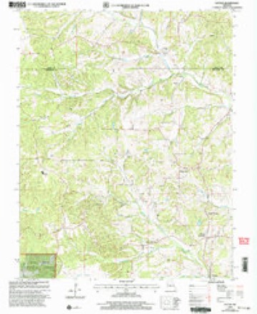
19 topographic sheets cover this place, the earliest surveyed in 1910 and the latest in 2000. It stands in Union Township. It lies in ZIP code area 63662. It stands on Goose Creek. The Survey maps it on the Patton quadrangle. It stands 620 feet above sea level.
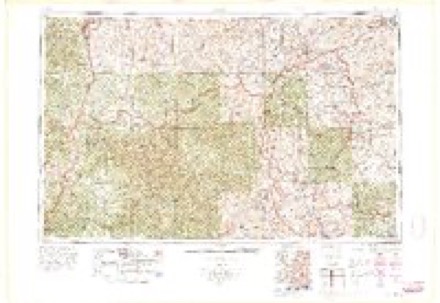
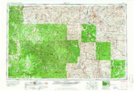
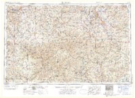
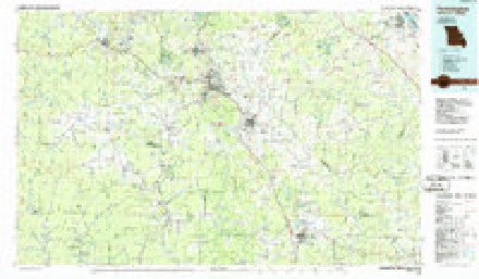
Topographic sheets covering this place
15 surveys from 19 printed sheetsMatched by testing this settlement's coordinate against the published boundary of every sheet in the United States Geological Survey's historical collection. Each opens the scanned sheet at the Survey.
- 1910 USGS Higdon quadrangle1:62500, 2 printings
- 1949 USGS Rolla quadrangle1:250000
- 1953 USGS Rolla quadrangle1:250000
- 1954 USGS Rolla quadrangle1:250000, 2 printings
- 1958 USGS Rolla quadrangle1:250000
- 1959 USGS Higdon quadrangle1:62500, 2 printings
- 1959 USGS Patton quadrangle1:24000, 2 printings
- 1959 USGS Rolla quadrangle1:250000
- 1960 USGS Rolla quadrangle1:250000
- 1966 USGS Rolla quadrangle1:250000
- 1971 USGS Rolla quadrangle1:250000
- 1986 USGS Farmington quadrangle1:100000
- 1987 USGS Farmington quadrangle1:100000
- 1989 USGS Rolla quadrangle1:250000
- 2000 USGS Patton quadrangle1:24000
Fires near this place
5 since 1999Regional context, not property-specific evidence. The federal wildfire occurrence database lists 5 fires within 5 miles of Patton between 1999 and 2020, burning about 14 acres in total. None started naturally. None was recorded as arson. Distance is straight-line from the map coordinates, so a fire counted here may appear on a neighbouring settlement's page as well.
| Reported cause | Fires |
|---|---|
| Missing data/not specified/undetermined | 3 |
| Debris and open burning | 1 |
| Power generation/transmission/distribution | 1 |
The most recent of them, most recent first, with the day each was reported and the service that recorded it.
| Date | Cause | Size | Reported by | Name on the report |
|---|---|---|---|---|
| 5 August 1999 | Missing data/not specified/undetermined | 10 acres | Missouri Department of Conservation | not named |
| 17 August 1999 | Debris and open burning | 3.0 acres | Missouri Department of Conservation | not named |
| 21 June 2019 | Power generation/transmission/distribution | under an acre | Missouri Department of Conservation | 179388-02359-06212019-2240 |
| 19 February 2019 | Missing data/not specified/undetermined | under an acre | Missouri Department of Conservation | 179384-02359-02192019-1532 |
| 1 January 2020 | Missing data/not specified/undetermined | 1.2 acres | Missouri Department of Conservation | 190302-02359-01012020-1314 |
Settlements close enough to share some of these fires:
Storms near this place
35 since 1993Regional context, not property-specific evidence. The National Weather Service names Patton in 35 storm reports between 1993 and 2025: 14 hail, 11 thunderstorm wind, 3 flash flood, 3 tornado. The reports record 1 death. Each account below is quoted exactly as the forecast office filed it, from the NOAA Storm Events Database, and each date opens the federal record of that event.
| When | Event | Place named | Harm | What the report says |
|---|---|---|---|---|
| March 2008 | Flood | Patton | 1 killed, $4,800,000 | Historic flooding occurred after 12 to 14 inches of rain fell in 48 hours. One man was killed in Marble Hill when his pickup truck was swept off a highway into Crooked Creek. Most of the major highways in the county were closed for at least part of the day. Evacuations were conducted in some places, especially in Glenallen. About 23 people were rescued from a subdivision near Zalma due to flooding of the Castor River. Evacuation shelters were opened. Numerous water rescues were conducted around the county. Marble Hill was described as cut in half by severe flooding of Crooked Creek, which rose 8 to 10 feet above a major state highway into town. Much of Marble Hill was inundated. Schools were closed, businesses shut down, and campgrounds were evacuated. Many gravel roads were washed out, and many small bridges were destroyed. Initial estimates were that 75 percent of the county's roads were damaged. The emergency management director for the county reported 14 businesses and 15 homes in Marble Hill suffered severe damage. Fifteen homes in Glenallen and 30 homes in Zalma were severely damaged. A school and other public buildings were extensively damaged. A mobile home was washed away and smashed into trees. |
| May 2009 | Thunderstorm Wind | North Patton | $8,000,000 | Thousands of trees were blown down, primarily across northern parts of the county. A lot of structural damage occurred along Highway 72. About 250 homes received some degree of damage, ranging from loose shingles to roofs lifted off. Many barns and outbuildings were destroyed. The Patton and Sedgewickville areas were the hardest hit. In particular, the area from Sedgewickville west to the Madison County line suffered extreme damage. Trees fell on houses, roads, and power lines. Power poles were snapped. Extended power outages lasting 3 to 5 days were widespread. A 28-foot camper was overturned in Sedgewickville. Nearby, a manufacturing company was heavily damaged. Six cars parked in front of the building were crushed by metal beams. The roof of the building was torn off. Across the damage area, emergency workers conducted door-to-door welfare checks. Food and water were distributed to those without power. Blocked roads were a major setback to recovery efforts. The damage was almost all north of Marble Hill. |
| March 2025 | Tornado (EF1) | North Patton | $100,000 | An EF-1 tornado touched down near County Road 906 southwest of Precinct and moved northeast to the Perry County line near Highway KK. The tornado destroyed a carport and shed on the same property along Highway 51 and took the roof off a barn also along Highway 51. Otherwise, the tornado damaged trees all along its path through Bollinger County. The estimated peak wind was 90 mph. The tornado went on to produce EF-2 damage in Perry County and then crossed the Mississippi River into Randolph County Illinois. The total path length was 33.5 miles. |
| June 2019 | Thunderstorm Wind | Patton | $50,000 | Widespread damaging winds crossed much of the county. Numerous trees and power lines were down in parts of Bollinger County. At least one vehicle was damaged by a falling tree. Power lines were down at Patton. Four miles south-southwest of Patton, trees were snapped, and there was damage to the porch on a house. |
| September 2012 | Thunderstorm Wind | Patton | $20,000 | Numerous trees were down in the northern half of the county. Many of the trees landed on roads, including Highways 72 and 51. |
| August 2005 | Thunderstorm Wind | Patton | $20,000 | At the junction of Highways 51 and 72, a roof was blown off a house. An above ground pool was pushed out into the road. Numerous trees were blown down on both sides of Patton. |
| October 1996 | Thunderstorm Wind | Patton | $20,000 | no account filed |
| April 2011 | Tornado (EF0) | Patton | $15,000 | Many trees were snapped and uprooted. A barn was destroyed. The tornado occurred near/along a path of straight-line wind damage. Peak winds were near 80 mph. |
| December 2008 | Thunderstorm Wind | Patton | $10,000 | Some trees were blown down near Zalma and Patton. |
| July 2008 | Thunderstorm Wind | Patton | $10,000 | Two large trees were uprooted. Other large trees were damaged, with tops blown off and large limbs down. A 20-by-30 foot shed had one wall blown out. A 10-by-10 foot feed shack was destroyed. A piece of metal roofing was peeled off a residence. |
| June 2000 | Lightning | Patton | $10,000 | Lightning struck the well used by a school to draw water. Summer school was cancelled until the control panel on the well could be fixed. |
| July 1997 | Thunderstorm Wind | Patton | $5,000 | Trees and power lines were down. |
| May 1993 | Hail | Patton | $5,000 | Golf ball-size hail fell 1/4 mile west of Scopus. Creeks overflowed at Highway 51 and County Road JJ causing flash flooding. Reported by the Missouri State Highway Patrol and the county sheriff. |
| May 1993 | Hail | Patton | $5,000 | Reported by the Missouri State Highway Patrol. |
| July 2023 | Thunderstorm Wind | North Patton | $2,000 | Tree branches were down on Highway 51. |
| August 2023 | Thunderstorm Wind | Patton | $2,000 | Power lines were down near Patton. |
| March 2021 | Thunderstorm Wind | Patton | $1,000 | A tree was down across the southbound lane of Highway 51. |
| February 2024 | Hail | Patton | - | The hail came from a storm embedded in a line moving southeastward through SE Missouri. |
| July 2021 | Flood | Patton | - | Several highways were flooded. A rainfall amount of 5.08 inches was reported during the morning hours near Patton. |
| August 2020 | Flash Flood | North Patton | - | Numerous roads were covered with water in low spots. Approximately two inches of rain fell in less than one hour. |
| March 2018 | Hail | Patton | - | A large amount of quarter-size hail fell throughout the community of Patton. The hail swath extended northeast across Highway 72, covering the road completely. A motorcycle accident occurred on the hail-covered road. |
| March 2015 | Hail | Patton | - | Dime-size hail covered the ground. |
| March 2012 | Flash Flood | Patton | - | Areas of highway 72 and 51 were reported under water. |
| April 2010 | Hail | Patton | - | Dime-size hail was reported in and around Patton. |
| October 2004 | Tornado (F0) | Patton | - | A trained spotter and other witnesses observed a brief tornado touchdown along Highway KK, near the Perry County line. The tornado occurred in a wooded area. No damage was found, other than some broken small tree branches. |
| May 2002 | Hail | Patton | - | Nickel-size hail fell in the northern part of the county. |
| May 2000 | Hail | Patton | - | A severe thunderstorm moved slowly east across northern Bollinger County, producing quarter to golf ball size hail. |
| May 1993 | Hail | Patton | - | Reported by the Missouri State Highway Patrol. |
| May 2015 | Hail | Patton | - | no account filed |
| September 2012 | Funnel Cloud | Patton | - | no account filed |
| May 2006 | Hail | Patton | - | no account filed |
| April 2003 | Flash Flood | Patton | - | no account filed |
| April 2003 | Hail | Patton | - | no account filed |
| April 2001 | Hail | Patton | - | no account filed |
| April 1998 | Hail | Patton | - | no account filed |
Nearest settlements
The eight closest, with where each one stands in the county. Distances are straight-line, computed from the Geographic Names Information System coordinates.
| Map | Place | Distance | Sheets |
|---|---|---|---|
| Patton Junction | 1.2 miles | 19 | |
| North Patton | 1.9 miles | 19 | |
| Precinct | 3.5 miles | 19 | |
| Tallent | 3.9 miles | 19 | |
| Alliance | 4.2 miles | 17 | |
| Bollinger Mill | 4.4 miles | 17 | |
| Mayfield | 4.8 miles | 19 | |
| Loyd | 5.6 miles | 19 |
Elsewhere
Matched on this settlement's Geographic Names Information System number rather than its name, so it cannot be a different place of the same name in another state.
| Wikipedia article on Patton | An encyclopaedic summary. Its text is share-alike, so it is linked here rather than copied. |
| Wikidata item Q3471156 | The structured record the population and elevation above come from. Public domain (CC0). |
Provenance
This settlement is recorded in the Geographic Names Information System as feature 751513. The sheet list is computed by point-in-boundary test against the United States Geological Survey's historical topographic inventory. Both are works of the United States government and carry no copyright under 17 U.S.C. 105.
Wildfire. Short, Karen C. 2022. Spatial wildfire occurrence data for the United States, 1992-2020 [FPA_FOD_20221014]. 6th Edition. Fort Collins, CO: Forest Service Research Data Archive. https://doi.org/10.2737/RDS-2013-0009.6 Collected with United States Government funding and usable without additional permissions or fees.
Storms. NOAA National Centers for Environmental Information, Storm Events Database https://www.ncei.noaa.gov/stormevents/ A work of the United States government, no copyright under 17 U.S.C. 105. Narratives are quoted verbatim from the National Weather Service report and are not edited or summarised.