 Block
Pleasant Hill, Missouri
15 topographic sheets cover this place, the earliest surveyed in 1887 and the latest in 1990. It stands in Pleasant Hill Township. It lies in ZIP code area 64080. It stands on Middle Big Creek. The Survey maps it on the Pleasant Hill quadrangle. 8,777 people lived here at the 2020 count. It stands 906 feet above sea level.
Research this city
On record in Pleasant Hill
Buildings and businesses the archive holds for this place. Each opens its own page, with the source record it came from.
On the National Register 1 record
- Pleasant Hill Downtown Historic Districtlisted 2005
Population over time
2 figuresPleasant Hill grew from 8,113 to 8,777 between 2010 and 2020. These are the recorded population figures Wikidata holds for this place, reached through the Geographic Names Information System number this page is keyed on rather than by name, so they belong to this place and not to another of the same name. Most are census counts, but not all are: an early figure may be a founding or settlement estimate, and an estimate published within five years of a census is left out. The change column is computed, and is left blank where more than 20 years separate a figure from the one before it, because a gap that long is not a change between two counts.
| Year | People | Change |
|---|---|---|
| 2010 | 8,113 | |
| 2020 | 8,777 | +664 (+8%) |
Topographic sheets covering this place
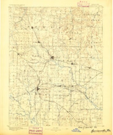
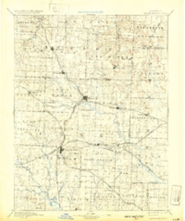
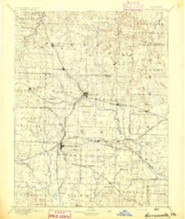
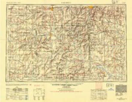
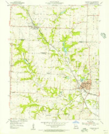
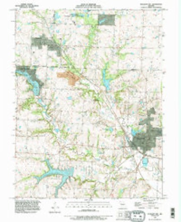
10 surveys from 15 printed sheetsMatched by testing this settlement's coordinate against the published boundary of every sheet in the United States Geological Survey's historical collection. Each opens the scanned sheet at the Survey.
- 1887 USGS Harrisonville quadrangle1:125000
- 1892 USGS Harrisonville quadrangle1:125000, 2 printings
- 1894 USGS Harrisonville quadrangle1:125000
- 1947 USGS Lawrence quadrangle1:250000
- 1950 USGS Lawrence quadrangle1:250000
- 1954 USGS Pleasant Hill quadrangle1:24000, 2 printings
- 1956 USGS Lawrence quadrangle1:250000, 4 printings
- 1961 USGS Lawrence quadrangle1:250000
- 1983 USGS Olathe quadrangle1:100000
- 1990 USGS Pleasant Hill quadrangle1:24000

In the county-history sources
680 words on this townshipHistory of Cass County, Missouri, published 1917 names this settlement in its chapter on Pleasant Hill Township. These are the passages that mention it, exactly as the scans read.
The finances of the city and surrounding country are managed by the Citizens Bank, the Pleasant Hill Banking Company, the Commercial Bank and Farmers National Bank. The city has two well managed and edited papers, "The Local" and "The Times," both democratic in politics. The Masons and Odd Fellows have long held lodges there. There is a claim that the Masons organized a lodge there in 1854, and that this was the first lodge in the county. This lodge suspended during the War of the Rebellion and reorganized, following the close of the war. Other lodges are well represented.
Passage source: History of Cass County, Missouri, published 1917.
From the close of the war, up to 1873, this town experienced a phenominal degree of prosperity. Its trade was simply immense. It reached far west into Kansas, as far south as Arkansas and divided the trade east to the Missouri River. Town lots then sold for thousands of dollars each, the same lots can now be bought for ten dollars each. The panic of 1873 wrought havoc to Pleasant Hill, as it did to many other towns, and in fact the whole country.
Passage source: History of Cass County, Missouri, published 1917.
All these effects have passed away, the business of this city is again substantially founded and prosperous. Pleasant Hill is on the map and is a desirable place to live, invest your money in its property and to do any business, trade or establish manufactories. Its people are wide¬ awake, hospitable and up to latest business methods.
Passage source: History of Cass County, Missouri, published 1917.
Machine-read from a century-old scan, so expect the errors a machine makes: misspelled names, dropped words, stray characters.
Read the whole chapter on Pleasant Hill Township - it names this place 1 more 1 time.
Mines and quarries near this place
10 within 5 milesRegional context, not property-specific evidence. The federal mineral resources record lists 10 workings within 5 miles of Pleasant Hill: 9 past producers, 1 producer. 1 still produces. What was taken out: Stone, Crushed/Broken. Distance is straight-line from the map coordinates, so a quarry counted here may appear on a neighbouring settlement's page as well.
| Where | Site | Commodity | Status | Recorded |
|---|---|---|---|---|
| Greenwood Quarry and Mill | Stone, Crushed/Broken | Past Producer | ||
| Greenwood Quarry and Mill | Stone, Crushed/Broken | Producer | ||
| McKee Quarry | Stone, Crushed/Broken | Past Producer | ||
| Unknown - Ls. | Stone, Crushed/Broken | Past Producer | ||
| Unknown - Ls. | Stone, Crushed/Broken | Past Producer | ||
| Unknown - Ls. | Stone, Crushed/Broken | Past Producer | ||
| Unknown - Ls. | Stone, Crushed/Broken | Past Producer | ||
| Unknown - Ls. | Stone, Crushed/Broken | Past Producer | ||
| Unknown - Ls. | Stone, Crushed/Broken | Past Producer | ||
| Unknown - Ls. Quarries | Stone, Crushed/Broken | Past Producer |
Storms near this place
60 of 65 shownRegional context, not property-specific evidence. The National Weather Service names Pleasant Hill in 65 storm reports between 1995 and 2025: 23 hail, 23 thunderstorm wind, 11 flash flood, 7 flood. No death or injury is recorded in these reports. Each account below is quoted exactly as the forecast office filed it, from the NOAA Storm Events Database, and each date opens the federal record of that event.
| When | Event | Place named | Harm | What the report says |
|---|---|---|---|---|
| October 1998 | Flash Flood | Pleasant Hill | $200,000 | no account filed |
| May 1995 | Thunderstorm Wind | Pleasant Hill | $20,000 | Winds gusted up to between 70 and 80 mph at the National Weather Service Office on the north side of Pleasant Hill. |
| July 2004 | Thunderstorm Wind | Pleasant Hill | $5,000 | 6 inch trees down and roof damage reported. |
| June 2010 | Flood | Pleasant Hill | $3,000 | An off duty NWS meteorologist, reported flooding near the the intersection of Front Street and Highway 58. Five homes had minor flooding. |
| May 1995 | Thunderstorm Wind | Pleasant Hill | $3,000 | Severe thunderstorms produced hail up to baseball size in several places around the county, and also produced wind gusts up to 80 mph. Numerous trees and large branches were downed around both the Pleasant Hill and Belton areas. |
| May 1995 | Hail | Pleasant Hill | $2,000 | Severe thunderstorms produced hail up to baseball size in several places around the county, and also produced wind gusts up to 80 mph. Numerous trees and large branches were downed around both the Pleasant Hill and Belton areas. |
| June 2025 | Thunderstorm Wind | Pleasant Hill | - | Downed tree and wires near Merle Road in Pleasant Hill. |
| September 2025 | Thunderstorm Wind | Pleasant Hill | - | Tree down on south side of Pleasant Hill. |
| May 2024 | Thunderstorm Wind | Pleasant Hill | - | Between visual estimation and measured gust from an automated weather station on site, estimated 65 to 70 mph wind gusts at WFO Pleasant Hill. |
| June 2024 | Thunderstorm Wind | Pleasant Hill | - | Tree limbs downed around the forecast office in Pleasant Hill. |
| June 2019 | Thunderstorm Wind | Pleasant Hill | - | A large tree was down in Pleasant Hill, near the NWS office. |
| July 2019 | Flash Flood | Pleasant Hill | - | Road barricades were up along Country Club Drive due to water running over the roads. |
| July 2019 | Flood | Pleasant Hill | - | Sand bagging was ongoing to prevent water from flowing into some houses on Cardinal Street. |
| May 2019 | Thunderstorm Wind | Pleasant Hill | - | Several trees were down in Pleasant Hill. |
| May 2019 | Flood | Pleasant Hill | - | Highway 58 closed in both directions on the southwest side of Pleasant Hill. |
| March 2018 | Flash Flood | Pleasant Hill | - | Numerous residences and roads across Pleasant Hill were submerged below running water. |
| March 2018 | Hail | Pleasant Hill | - | This hail was observed at the NWS office in Pleasant Hill. |
| May 2018 | Thunderstorm Wind | Pleasant Hill | - | NWS employee at the NWS office in Pleasant Hill estimated 60 to 70 mph winds as the storms came through Pleasant Hill. |
| May 2017 | Thunderstorm Wind | Pleasant Hill | - | On duty meteorologists at the WFO reported 60 mph wind gusts. |
| July 2017 | Flood | Pleasant Hill | - | Highway 58 near the Cass County Fairgrounds was flooded due to Big Creek flowing out of its banks. |
| July 2016 | Thunderstorm Wind | Pleasant Hill | - | A well secured fireworks tent was blown down. |
| June 2015 | Thunderstorm Wind | Pleasant Hill | - | A line of thunderstorms moved through Pleasant Hill bringing an estimated 60 to 70 mph wind with it. Numerous large trees in and around Pleasant Hill were damaged as a result of this wind. |
| July 2014 | Flood | Pleasant Hill | - | Flowing and standing water in multiple locations along Highway 48 between Strasburg and Pleasant Hill. Ditches were overflowing and standing water was reported in nearby fields. |
| May 2012 | Flash Flood | Pleasant Hill | - | All streets were reported impassable in downtown Pleasant Hill. |
| May 2012 | Heavy Rain | Pleasant Hill | - | The National Weather Service Office in Pleasant Hill, measured 3.20 inches of rain since 7 AM CDT. |
| May 2012 | Flash Flood | Pleasant Hill | - | One foot of water was reported flowing over the road, at the intersection of Country Club Drive and Murray Road. |
| June 2011 | Flood | Pleasant Hill | - | Highway 7 was closed at Highway P due to high water. |
| March 2009 | Flash Flood | Pleasant Hill | - | One foot of water was reported over Boardman Road, at 175th Street near Big Creek. |
| March 2006 | Thunderstorm Wind | Pleasant Hill | - | Measured at the National Weather Service office. |
| June 2004 | Thunderstorm Wind | Pleasant Hill | - | Five inch tree down. |
| May 2002 | Flash Flood | Pleasant Hill | - | Several roads closed due to flooding from heavy rains. |
| April 2001 | Flash Flood | Pleasant Hill | - | Flooding from one to two inches of rain was reported in Pleasant Hill. Several roads were closed dueto high water. |
| June 2001 | Flash Flood | Pleasant Hill | - | Paris road flooded as well as several rural roads with from 1 to 2 feet of water. |
| June 2001 | Flash Flood | Pleasant Hill | - | Flooding of Paris road and several rural roads with as much as 1 to 2 feet of water continues. |
| June 2001 | Flash Flood | Pleasant Hill | - | Law enforcement reported several roads under 1 to 2 feet of water, from locally heavy rains. |
| May 2000 | Thunderstorm Wind | Pleasant Hill | - | Wind gusts were estimated at 70 mph by on-duty NWS employees at the Pleasant Hill WFO. |
| May 2000 | Hail | Pleasant Hill | - | Flat hail up to 2.5 inches in diameter fell at the NWS office in Pleasant Hill. |
| July 2000 | Thunderstorm Wind | Pleasant Hill | - | Wind gusts were estimated at 65 mph at the Weather Service office in Pleasant Hill. |
| April 1998 | Hail | Pleasant Hill | - | A spotter reported dime-size hail 3 miles northwest of Pleasant Hill during a severe thunderstorm. |
| June 1998 | Thunderstorm Wind | Pleasant Hill | - | Severe thunderstorm winds gusted to 55 MPH at the National Weather Service office in Pleasant Hill. The Pleasant Hill Police reported several power lines blown down. Several telephone poles were knocked down in East Lynn at K Highway and 227th St. |
| June 1998 | Thunderstorm Wind | Pleasant Hill | - | A 61 MPH wind was recorded at the National Weather Service Office in Pleasant Hill as the same line of storms that produced wind damage in Kansas City moved through. |
| June 1995 | Thunderstorm Wind | Pleasant Hill | - | A severe thunderstorm produced a 60 mph wind gust at the National Weather Service Office in Pleasant Hill. |
| May 1995 | Hail | Pleasant Hill | - | Severe thunderstorms produced hail up to baseball size in several places around the county, and also produced wind gusts up to 80 mph. Numerous trees and large branches were downed around both the Pleasant Hill and Belton areas. |
| March 2022 | Hail | Pleasant Hill | - | no account filed |
| April 2015 | Hail | Pleasant Hill | - | no account filed |
| May 2012 | Hail | Pleasant Hill | - | no account filed |
| June 2011 | Hail | Pleasant Hill | - | no account filed |
| February 2011 | Hail | Pleasant Hill | - | no account filed |
| September 2010 | Hail | Pleasant Hill | - | no account filed |
| September 2010 | Hail | Pleasant Hill | - | no account filed |
| May 2008 | Hail | Pleasant Hill | - | no account filed |
| February 2007 | Hail | Pleasant Hill | - | no account filed |
| September 2005 | Hail | Pleasant Hill | - | no account filed |
| September 2005 | Hail | Pleasant Hill | - | no account filed |
| May 2003 | Hail | Pleasant Hill | - | no account filed |
| April 2002 | Thunderstorm Wind | Pleasant Hill | - | no account filed |
| April 2001 | Hail | Pleasant Hill | - | no account filed |
| April 2001 | Hail | Pleasant Hill | - | no account filed |
| September 2001 | Thunderstorm Wind | Pleasant Hill | - | no account filed |
| September 2001 | Thunderstorm Wind | Pleasant Hill | - | no account filed |
Nearest settlements
The eight closest, with where each one stands in the county. Distances are straight-line, computed from the Geographic Names Information System coordinates.
| Map | Place | Distance | Sheets |
|---|---|---|---|
| Wyoming (historical) | 0.2 miles | 15 | |
| Baldwin Park | 1.3 miles | 15 | |
| Gowdy | 2.1 miles | 15 | |
| Avon | 3.8 miles | 15 | |
| Wingate | 5.2 miles | 13 | |
| Ore | 5.4 miles | 14 | |
| Lake Winnebago | 5.6 miles | 15 | |
| Strasburg | 5.8 miles | 15 |
Elsewhere
Matched on this settlement's Geographic Names Information System number rather than its name, so it cannot be a different place of the same name in another state.
| Wikipedia article on Pleasant Hill | An encyclopaedic summary. Its text is share-alike, so it is linked here rather than copied. |
| Wikidata item Q961469 | The structured record the population and elevation above come from. Public domain (CC0). |
Provenance
This settlement is recorded in the Geographic Names Information System as feature 724514. The sheet list is computed by point-in-boundary test against the United States Geological Survey's historical topographic inventory. Both are works of the United States government and carry no copyright under 17 U.S.C. 105.
Mines and quarries. USGS Mineral Resources Data System (MRDS) https://mrdata.usgs.gov/mrds/ A work of the United States government, no copyright under 17 U.S.C. 105.
Storms. NOAA National Centers for Environmental Information, Storm Events Database https://www.ncei.noaa.gov/stormevents/ A work of the United States government, no copyright under 17 U.S.C. 105. Narratives are quoted verbatim from the National Weather Service report and are not edited or summarised.