 Block
Qulin, Missouri
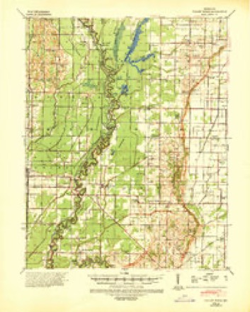
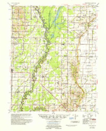
9 topographic sheets cover this place, the earliest surveyed in 1940 and the latest in 1983. It stands in Ash Hill Township. It lies in ZIP code area 63961. The Survey maps it on the Glennonville quadrangle. 460 people lived here at the 2020 count. It stands 315 feet above sea level.
Population over time
2 figuresQulin grew from 458 to 460 between 2010 and 2020. These are the recorded population figures Wikidata holds for this place, reached through the Geographic Names Information System number this page is keyed on rather than by name, so they belong to this place and not to another of the same name. Most are census counts, but not all are: an early figure may be a founding or settlement estimate, and an estimate published within five years of a census is left out. The change column is computed, and is left blank where more than 20 years separate a figure from the one before it, because a gap that long is not a change between two counts.
| Year | People | Change |
|---|---|---|
| 2010 | 458 | |
| 2020 | 460 | +2 (+0%) |
Topographic sheets covering this place
7 surveys from 9 printed sheetsMatched by testing this settlement's coordinate against the published boundary of every sheet in the United States Geological Survey's historical collection. Each opens the scanned sheet at the Survey.
- 1940 USGS Valley Ridge quadrangle1:62500
- 1956 USGS Valley Ridge quadrangle1:62500
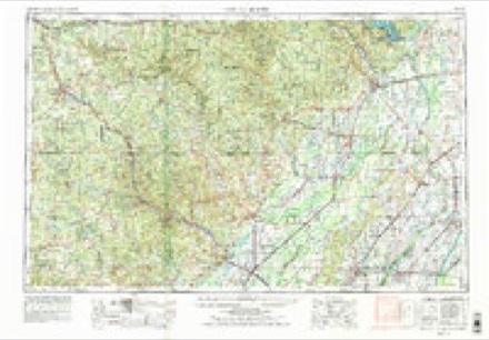
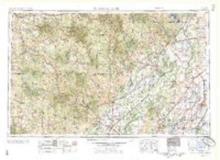
- 1957 USGS Poplar Bluff quadrangle1:250000, 3 printings
- 1959 USGS Poplar Bluff quadrangle1:250000
- 1960 USGS Poplar Bluff quadrangle1:250000
- 1983 USGS Glennonville quadrangle1:24000
- 1983 USGS Poplar Bluff quadrangle1:100000
Storms near this place
25 since 1996Regional context, not property-specific evidence. The National Weather Service names Qulin in 25 storm reports between 1996 and 2025: 9 hail, 8 thunderstorm wind, 4 tornado, 2 funnel cloud. The reports record 1 death and 2 injuries. Each account below is quoted exactly as the forecast office filed it, from the NOAA Storm Events Database, and each date opens the federal record of that event.
| When | Event | Place named | Harm | What the report says |
|---|---|---|---|---|
| April 2015 | Flash Flood | Qulin | 1 killed, $20,000 | Flash flooding of drainage ditch number 1 for the Black River apparently caused a drowning fatality. A vehicle travelling along a small farm road parallel to the ditch got stuck in mud. The male victim was located several days later about 400 yards south of his pickup truck and six feet from the bank of the ditch. The search was suspended for about two days to allow the water to recede. |
| June 2011 | Thunderstorm Wind | Qulin | 2 hurt, $450,000 | Much of the roof of an elementary school was blown off. Debris from the roof knocked down power lines. Some blocks on the west side of the building were knocked in, and a metal awning was smashed. Baseball field fencing and playground equipment were damaged. A window was blown out of a general store. Two children received minor cuts. A large uprooted tree fell on the corner of a mobile home, damaging the roof. Another tree fell on the front porch of a house, blocking the front door. A partially enclosed back porch was damaged. A small steeple was blown off a church, along with two pieces of siding. Tree limbs were down across town. Corn in a nearby field was flattened. |
| May 2020 | Thunderstorm Wind | Qulin | $250,000 | A shop building was destroyed. The rather large metal building had a covered open storage area on the north side. Nearby grain bins were dented. |
| August 2021 | Thunderstorm Wind | Qulin | $20,000 | The roof was removed from a mobile home. Trees and power lines were down on Highway 53. Most of the damage was sporadic straight line wind damage, except for a brief tornado touchdown at a residence on Highway 53. |
| August 2021 | Tornado (EF0) | Qulin | $15,000 | A brief EF-0 tornado touched down at a residence along Highway 53 northwest of Qulin. It lifted the front porch roof over the house. The porch roof was thrown westward, causing significant damage to the back side of the house roof before landing in the back yard. A few trees were snapped on the property as well. A funnel cloud was witnessed dipping up and down. Photos were taken of the funnel cloud. Peak winds were estimated to be 85 mph. |
| March 2020 | Thunderstorm Wind | Qulin | $10,000 | Roofing material was removed from a house and thrown into a nearby field. |
| March 2006 | Thunderstorm Wind | Qulin | $6,000 | The roofs were blown off a mobile home and a barn. |
| July 2014 | Thunderstorm Wind | Qulin | $5,000 | Power lines were down. |
| May 2025 | Thunderstorm Wind | Qulin | $3,000 | Multiple trees were downed by straight-line winds in Qulin. The highest measured gust in the area was 55mph, measured by a spotter. |
| May 2018 | Tornado (EF0) | Qulin | $3,000 | A non-supercell tornado or landspout touched down along State Highway HH, causing some minor damage. The landspout occurred on the back side of a strengthening thunderstorm. The door was blown off the south side of a shop building and landed on the west side of the shop. The door caught an electrical service wire and tore it down. Very small tree limbs were down. Based on a storm survey from county storm spotters, this EF-0 tornado proceeded southeast to near the community of Qulin. |
| March 2025 | Hail | Qulin | - | Baseball size hail fell just northwest and north of Qulin. |
| May 2020 | Thunderstorm Wind | Qulin | - | Trees were down, and roofs were damaged. |
| December 2015 | Heavy Rain | Qulin | - | The co-operative observer measured a four-day storm-total rainfall of 7.30 inches. |
| October 2014 | Funnel Cloud | Qulin | - | A rain-wrapped funnel cloud was reported by the general public. |
| September 2012 | Tornado (EF0) | Qulin | - | Trained spotters reported a tornado on the ground from around Qulin to several miles northeast of Qulin. The tornado occurred over open farm country and caused no significant damage. |
| September 2006 | Funnel Cloud | Qulin | - | The funnel cloud was sighted just off Highway 53. |
| January 1999 | Hail | Qulin | - | Golf ball size hail fell near Qulin. |
| June 1997 | Tornado (F0) | Qulin | - | Law enforcement personnel reported a funnel cloud briefly touched ground in open country. No damage was reported. Numerous funnel clouds were reported during the day, none of which were spawned by severe thunderstorms. |
| April 2021 | Hail | Qulin | - | no account filed |
| July 2018 | Hail | Qulin | - | no account filed |
| June 2009 | Hail | Qulin | - | no account filed |
| September 2006 | Hail | Qulin | - | no account filed |
| April 2002 | Hail | Qulin | - | no account filed |
| April 1998 | Hail | Qulin | - | no account filed |
| March 1996 | Hail | Qulin | - | no account filed |
Nearest settlements
The eight closest, with where each one stands in the county. Distances are straight-line, computed from the Geographic Names Information System coordinates.
| Map | Place | Distance | Sheets |
|---|---|---|---|
| Osborn | 2.2 miles | 9 | |
| Quercus | 2.5 miles | 9 | |
| Nyssa | 3.0 miles | 9 | |
| Oglesville | 3.5 miles | 13 | |
| Whitlow | 3.8 miles | 13 | |
| Platanus (historical) | 4.3 miles | 13 | |
| Broseley | 5.5 miles | 9 | |
| Carola | 5.6 miles | 13 |
Elsewhere
Matched on this settlement's Geographic Names Information System number rather than its name, so it cannot be a different place of the same name in another state.
| Wikipedia article on Qulin | An encyclopaedic summary. Its text is share-alike, so it is linked here rather than copied. |
| Wikidata item Q403681 | The structured record the population and elevation above come from. Public domain (CC0). |
Provenance
This settlement is recorded in the Geographic Names Information System as feature 735814. The sheet list is computed by point-in-boundary test against the United States Geological Survey's historical topographic inventory. Both are works of the United States government and carry no copyright under 17 U.S.C. 105.
Storms. NOAA National Centers for Environmental Information, Storm Events Database https://www.ncei.noaa.gov/stormevents/ A work of the United States government, no copyright under 17 U.S.C. 105. Narratives are quoted verbatim from the National Weather Service report and are not edited or summarised.