 Block
Rat, Missouri
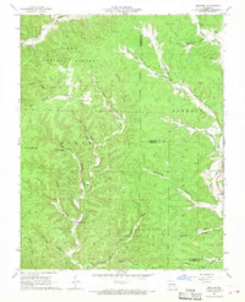
18 topographic sheets cover this place, the earliest surveyed in 1944 and the latest in 1989. It stands in Moore Township. It lies in ZIP code area 63629. It stands on Bounds Branch. The Survey maps it on the Midridge quadrangle.
Topographic sheets covering this place
13 surveys from 18 printed sheetsMatched by testing this settlement's coordinate against the published boundary of every sheet in the United States Geological Survey's historical collection. Each opens the scanned sheet at the Survey.
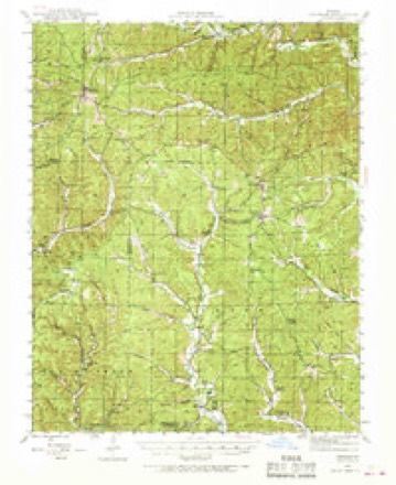
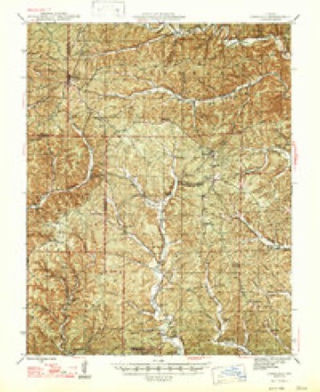
- 1944 USGS Corridon quadrangle1:62500, 2 printings
- 1947 USGS Corridon quadrangle1:62500
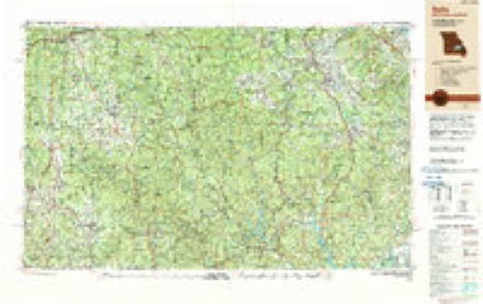
- 1949 USGS Rolla quadrangle1:250000
- 1953 USGS Rolla quadrangle1:250000
- 1954 USGS Rolla quadrangle1:250000, 2 printings
- 1958 USGS Rolla quadrangle1:250000
- 1959 USGS Rolla quadrangle1:250000
- 1960 USGS Rolla quadrangle1:250000
- 1966 USGS Midridge quadrangle1:24000, 3 printings
- 1966 USGS Rolla quadrangle1:250000
- 1971 USGS Rolla quadrangle1:250000
- 1986 USGS Spring Valley quadrangle1:100000, 2 printings
- 1989 USGS Rolla quadrangle1:250000
Fires near this place
90 since 1992Regional context, not property-specific evidence. The federal wildfire occurrence database lists 90 fires within 5 miles of Rat between 1992 and 2020, burning about 2,298 acres in total. 1 started naturally. 35 were recorded as arson. Distance is straight-line from the map coordinates, so a fire counted here may appear on a neighbouring settlement's page as well.
| Reported cause | Fires |
|---|---|
| Arson/incendiarism | 35 |
| Missing data/not specified/undetermined | 31 |
| Debris and open burning | 17 |
| Power generation/transmission/distribution | 3 |
| Equipment and vehicle use | 2 |
| Natural | 1 |
| Smoking | 1 |
The most recent of them, most recent first, with the day each was reported and the service that recorded it.
| Date | Cause | Size | Reported by | Name on the report |
|---|---|---|---|---|
| 30 August 1999 | Missing data/not specified/undetermined | under an acre | Mark Twain National Forest | LL PICNIC |
| 25 August 2012 | Arson/incendiarism | under an acre | Mark Twain National Forest | BUNKER ROADSIDE |
| 5 May 2001 | Arson/incendiarism | 40 acres | Missouri Department of Conservation | not named |
| 4 May 1992 | Smoking | under an acre | Mark Twain National Forest | not named |
| 31 May 2004 | Equipment and vehicle use | under an acre | Mark Twain National Forest | OAK KNOLL |
| 23 May 1997 | Natural | 1.5 acres | Mark Twain National Forest | P HIGHWAY |
| 18 May 2005 | Debris and open burning | 2.6 acres | Mark Twain National Forest | CONWAY |
| 8 April 2009 | Arson/incendiarism | 113 acres | Mark Twain National Forest | BOUNDS BRANCH |
Settlements close enough to share some of these fires:
Mines and quarries near this place
4 within 5 milesRegional context, not property-specific evidence. The federal mineral resources record lists 4 workings within 5 miles of Rat: 2 occurrences, 1 producer, 1 past producer. 1 still produces. What was taken out: Iron, Lead, Copper, Silver, Zinc, Cadmium, Nickel, Cobalt. Distance is straight-line from the map coordinates, so a quarry counted here may appear on a neighbouring settlement's page as well.
| Where | Site | Commodity | Status | Recorded |
|---|---|---|---|---|
| Frank R. Milliken Mill | Lead, Copper, Silver, Zinc, Cadmium, Nickel, Cobalt | Producer | ||
| Sweetwater | Lead, Zinc, Silver, Nickel, Copper, Cobalt, Cadmium | Past Producer | 1962, 1968 | |
| Roger's Mill Land | Iron | Occurrence | Hematite, Limonite | |
| Swinney Land | Iron | Occurrence | Limonite |
Storms near this place
14 since 2009Regional context, not property-specific evidence. The National Weather Service names Rat in 14 storm reports between 2009 and 2025: 9 flood, 5 flash flood. No death or injury is recorded in these reports. Each account below is quoted exactly as the forecast office filed it, from the NOAA Storm Events Database, and each date opens the federal record of that event.
| When | Event | Place named | Harm | What the report says |
|---|---|---|---|---|
| November 2024 | Flash Flood | Rat | $8,800,000 | Route P at Big Creek was closed due to flooding. Additional county property damages were reported throughout the entire county, primarily to dirt roads and bridges, with many facilities, campgrounds, and river access points sustained damage to the Scenic Riverway parks. Damage cost estimates are a reflection of the county as a whole. Unprecedented river levels caused devastating impacts to facilities at Akers and Pulltite. The Akers Ranger Station, which also houses Akers Ferry Canoe Rental, had approximately two feet of water throughout. The old Akers Ferry Canoe Rental store was almost fully submerged, sustaining significant damage.| |At Pulltite Campground, water reached the roof of the Pulltite Ranger Station and adjoining shower house, causing tremendous destruction. Approximately two feet of water entered the Current River Canoe Rental Store. The Pulltite picnic pavilion was swept away and destroyed. The campground amphitheater was toppled off its foundation. Floodwater lifted thick chunks of asphalt from the campground roads, undercut the roadway in multiple places, scoured campsites, and mangled or relocated posts, picnic tables, fire rings, and other structures. Large trees were toppled throughout the area and tangled with flood debris. ||Additionally, Park Rangers carried out several river rescues on Monday and Tuesday for visitors caught off guard. |
| April 2025 | Flash Flood | Rat | - | Route P at Big Creek was flooded from Route P to Missouri Route 72. |
| June 2025 | Flood | Rat | - | State Highway P was closed due to flooding. |
| April 2024 | Flood | Rat | - | Route P at Big Creek was closed due to flooding. |
| March 2023 | Flood | Rat | - | Highway P at Big Creek was flooded and impassable. |
| March 2023 | Flood | Rat | - | Highway P at Big Creek was flooded and impassable. |
| February 2022 | Flood | Rat | - | Highway P at Big Creek was flooded and impassable due to high water. |
| February 2019 | Flood | Rat | - | Route P at Big Creek was closed due to flooding. |
| February 2018 | Flood | Rat | - | State Highway P was closed due to flooding. |
| August 2015 | Flash Flood | Rat | - | Route P at Big Creek was closed due to flooding. |
| December 2013 | Flood | Rat | - | MODOT reported that Route P was closed in both directions in the vicinity of Big Creek. |
| February 2013 | Flood | Rat | - | MODOT reported that the low water crossing along Highway P was flooded. |
| January 2013 | Flash Flood | Rat | - | MODOT reported that Highway P was flooded and closed to the Shannon and Reynolds county line. |
| June 2009 | Flash Flood | Rat | - | Big Creek flooded a section of Highway P in far northeastern Shannon County. |
Nearest settlements
The eight closest, with where each one stands in the county. Distances are straight-line, computed from the Geographic Names Information System coordinates.
| Map | Place | Distance | Sheets |
|---|---|---|---|
| Midridge | 2.6 miles | 18 | |
| Himont (historical) | 4.4 miles | 18 | |
| Mauser Mill | 6.2 miles | 20 | |
| Brushy Mill (historical) | 7.2 miles | 20 | |
| Sinkin (historical) | 9.8 miles | 17 | |
| Timber | 10.6 miles | 20 | |
| Shannondale | 11.2 miles | 17 | |
| Gang | 11.4 miles | 20 |
Provenance
This settlement is recorded in the Geographic Names Information System as feature 751809. The sheet list is computed by point-in-boundary test against the United States Geological Survey's historical topographic inventory. Both are works of the United States government and carry no copyright under 17 U.S.C. 105.
Wildfire. Short, Karen C. 2022. Spatial wildfire occurrence data for the United States, 1992-2020 [FPA_FOD_20221014]. 6th Edition. Fort Collins, CO: Forest Service Research Data Archive. https://doi.org/10.2737/RDS-2013-0009.6 Collected with United States Government funding and usable without additional permissions or fees.
Mines and quarries. USGS Mineral Resources Data System (MRDS) https://mrdata.usgs.gov/mrds/ A work of the United States government, no copyright under 17 U.S.C. 105.
Storms. NOAA National Centers for Environmental Information, Storm Events Database https://www.ncei.noaa.gov/stormevents/ A work of the United States government, no copyright under 17 U.S.C. 105. Narratives are quoted verbatim from the National Weather Service report and are not edited or summarised.