 Block
Sacville, Missouri
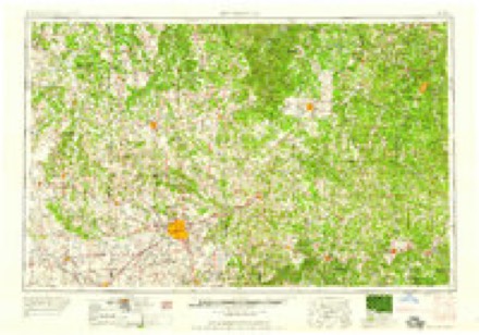
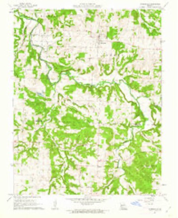
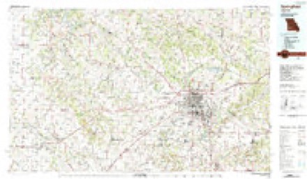
17 topographic sheets cover this place, the earliest surveyed in 1884 and the latest in 1982. It stands in Cass Township. It lies in ZIP code area 65781. The Survey maps it on the Morrisville quadrangle.
Topographic sheets covering this place
7 surveys from 17 printed sheetsMatched by testing this settlement's coordinate against the published boundary of every sheet in the United States Geological Survey's historical collection. Each opens the scanned sheet at the Survey.
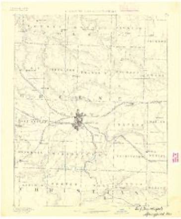
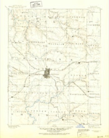
- 1884 USGS Springfield quadrangle1:125000
- 1886 USGS Springfield quadrangle1:125000, 5 printings
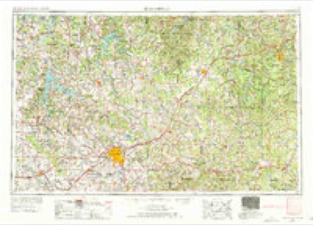
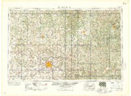
- 1954 USGS Springfield quadrangle1:250000, 6 printings
- 1958 USGS Springfield quadrangle1:250000
- 1959 USGS Springfield quadrangle1:250000
- 1961 USGS Morrisville quadrangle1:24000, 2 printings
- 1982 USGS Springfield quadrangle1:100000
What happened here
An account from the chapter on Cass township. The inset identifies its exact source book and publication year.
A Bushwhacker Fight
In August, 1863, a party of bushwhackers, supposed to be under the command of one Captain Lotspeich, were attacked on the Ralph Lotspeich farm, in this township, by Capt. S. H. Julian and about 30 Home Guards, or militia. The bushwhackers numbered 17, and were encamped in a dense thicket unconscious of danger.
In the county-history sources
84,545 words on this townshipHistory of Greene County, Missouri .., published 1883 has no passage naming this settlement, which was common for smaller places. Its township is covered in full.
The chapter on Cass Township covers boundaries, description, natural features, first settlers, early historical items, organization.
Read the chapter on Cass Township - 84,545 words.
Fires near this place
37 since 1992Regional context, not property-specific evidence. The federal wildfire occurrence database lists 37 fires within 5 miles of Sacville between 1992 and 2020, burning about 352 acres in total. None started naturally. None was recorded as arson. Distance is straight-line from the map coordinates, so a fire counted here may appear on a neighbouring settlement's page as well.
| Reported cause | Fires |
|---|---|
| Debris and open burning | 23 |
| Missing data/not specified/undetermined | 8 |
| Equipment and vehicle use | 3 |
| Smoking | 2 |
| Recreation and ceremony | 1 |
The most recent of them, most recent first, with the day each was reported and the service that recorded it.
| Date | Cause | Size | Reported by | Name on the report |
|---|---|---|---|---|
| 4 September 1999 | Debris and open burning | 10 acres | Missouri Department of Conservation | not named |
| 7 August 1997 | Smoking | 1.0 acres | Missouri Department of Conservation | not named |
| 5 August 1997 | Debris and open burning | 69 acres | Missouri Department of Conservation | not named |
| 23 August 2020 | Missing data/not specified/undetermined | under an acre | Missouri Department of Conservation | 220634-03911-08232020-1625 |
| 26 July 1997 | Equipment and vehicle use | 1.0 acres | Missouri Department of Conservation | not named |
| 18 July 2020 | Equipment and vehicle use | under an acre | Missouri Department of Conservation | 220574-08407-07182020-1220 |
| 5 April 2018 | Debris and open burning | 2.4 acres | Missouri Department of Conservation | 177740-03905-04052018-1426 |
| 12 April 1998 | Debris and open burning | 2.0 acres | Missouri Department of Conservation | not named |
Settlements close enough to share some of these fires:
Mines and quarries near this place
6 within 5 milesRegional context, not property-specific evidence. The federal mineral resources record lists 6 workings within 5 miles of Sacville: 6 past producers. None of them still produces. What was taken out: Iron, Stone, Crushed/Broken. Distance is straight-line from the map coordinates, so a quarry counted here may appear on a neighbouring settlement's page as well.
| Where | Site | Commodity | Status | Recorded |
|---|---|---|---|---|
| Unknown | Stone, Crushed/Broken | Past Producer | ||
| Unknown - Limestone | Stone, Crushed/Broken | Past Producer | ||
| Jennings Bank | Iron | Past Producer | ||
| Pollack Mine | Iron | Past Producer | ||
| Unknown | Iron | Past Producer | ||
| Unknown | Iron | Past Producer |
Storms near this place
18 since 2000Regional context, not property-specific evidence. The National Weather Service names Sacville in 18 storm reports between 2000 and 2026: 10 thunderstorm wind, 3 hail, 2 heavy rain, 1 flash flood. No death or injury is recorded in these reports. Each account below is quoted exactly as the forecast office filed it, from the NOAA Storm Events Database, and each date opens the federal record of that event.
| When | Event | Place named | Harm | What the report says |
|---|---|---|---|---|
| April 2019 | Tornado (EF1) | Sacville | $300,000 | A National Weather Service storm survey confirmed an EF-1 tornado tracked from four miles northeast of Willard, Missouri to five miles northeast of Willard. The tornado was on the ground for approximately two minutes along its 1.7 mile total track with maximum wind speeds estimated at 100 mph. The first observed signs of this tornado was substantial damage to a farm house, a large pole barn and six outbuildings within an area of cyclonic tree fall pattern along North Farm Road 117. Observers noted similar tree patterns along a ridge top to the west of the farmhouse and other light tree damage along the Little Sac River valley. An intermittent path of mainly light tree damage and damage to two outbuildings was then noted eastward to Farm Road 123. There was a noticeable break along the southern (right) flank of this tornadic path where a swath of up to 70 mph straight line winds damaged or uprooted numerous trees south along and south of Farm Road 54. |
| June 2020 | Flood | Sacville | $15,000 | The Willard Fire Department performed a water rescue at a low water crossing on the Sac River at the intersection of North Farm Road 105 and Farm Road 44. No injuries were reported. The vehicle was washed downstream. |
| September 2000 | Thunderstorm Wind | Sacville | $15,000 | no account filed |
| June 2011 | Thunderstorm Wind | Sacville | $10,000 | The Polk County Emergency Manager reported that significant damage occurred to a barn, shingles were off the roof of a home, and six to eight inch tree limbs were down along Farm Roads 2 and 6. |
| May 2025 | Thunderstorm Wind | Sacville | $5,000 | Report of trees blown down. |
| June 2024 | Thunderstorm Wind | Sacville | $1,000 | A tree fell over the roadway north of Springfield. |
| March 2026 | Hail | Sacville | - | Hail to the size of quarters fell in Sacville. |
| April 2022 | Hail | Sacville | - | Penny sized hail was reported via MPing. |
| February 2019 | Hail | Sacville | - | Hail up to nickle size was reported. |
| May 2019 | Heavy Rain | Sacville | - | A CoCoRaHS observer measured a 24 hour rainfall total of 3.34 inches. |
| August 2015 | Thunderstorm Wind | Sacville | - | There were several trees snapped and uprooted blocking a private road. A field was flooded from an over flowing creek. |
| December 2015 | Heavy Rain | Sacville | - | There was a report of 6.93 inches of rainfall in 24 hours. |
| September 2012 | Thunderstorm Wind | Sacville | - | NWS employee estimated wind gusts up to 60 mph. |
| June 2007 | Flash Flood | Sacville | - | Flash flooding inundated a section of Farm Road 2 two miles east of Z Highway. |
| March 2009 | Thunderstorm Wind | Sacville | - | no account filed |
| April 2009 | Thunderstorm Wind | Sacville | - | no account filed |
| August 2008 | Thunderstorm Wind | Sacville | - | no account filed |
| August 2003 | Thunderstorm Wind | Sacville | - | no account filed |
Nearest settlements
The eight closest, with where each one stands in the county. Distances are straight-line, computed from the Geographic Names Information System coordinates.
| Map | Place | Distance | Sheets |
|---|---|---|---|
| Heady | 3.3 miles | 17 | |
| Cave Spring | 3.5 miles | 21 | |
| Hackney | 3.8 miles | 21 | |
| Pearl | 4.2 miles | 21 | |
| Harold | 4.7 miles | 16 | |
| Buckley (historical) | 5.8 miles | 16 | |
| Willard | 6.1 miles | 21 | |
| Phenix | 6.3 miles | 16 |
Elsewhere
Matched on this settlement's Geographic Names Information System number rather than its name, so it cannot be a different place of the same name in another state.
| Wikidata item Q122549827 | The structured record the population and elevation above come from. Public domain (CC0). |
Provenance
This settlement is recorded in the Geographic Names Information System as feature 741223. The sheet list is computed by point-in-boundary test against the United States Geological Survey's historical topographic inventory. Both are works of the United States government and carry no copyright under 17 U.S.C. 105.
Wildfire. Short, Karen C. 2022. Spatial wildfire occurrence data for the United States, 1992-2020 [FPA_FOD_20221014]. 6th Edition. Fort Collins, CO: Forest Service Research Data Archive. https://doi.org/10.2737/RDS-2013-0009.6 Collected with United States Government funding and usable without additional permissions or fees.
Mines and quarries. USGS Mineral Resources Data System (MRDS) https://mrdata.usgs.gov/mrds/ A work of the United States government, no copyright under 17 U.S.C. 105.
Storms. NOAA National Centers for Environmental Information, Storm Events Database https://www.ncei.noaa.gov/stormevents/ A work of the United States government, no copyright under 17 U.S.C. 105. Narratives are quoted verbatim from the National Weather Service report and are not edited or summarised.