 Block
Santa Fe, Missouri
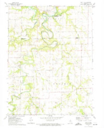
16 topographic sheets cover this place, the earliest surveyed in 1890 and the latest in 1986. It stands in South Fork Township. It lies in ZIP code area 65282. It stands on Elm Branch. The Survey maps it on the Santa Fe quadrangle. It stands 715 feet above sea level.
On record in Santa Fe
Buildings and businesses the archive holds for this place. Each opens its own page, with the source record it came from.
On the National Register 1 record
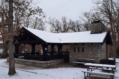
Topographic sheets covering this place
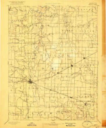
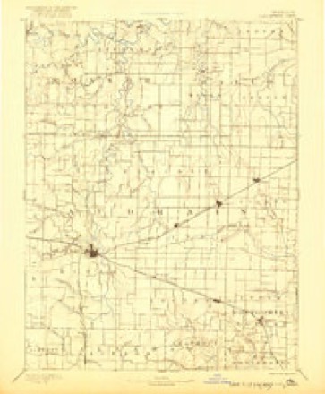
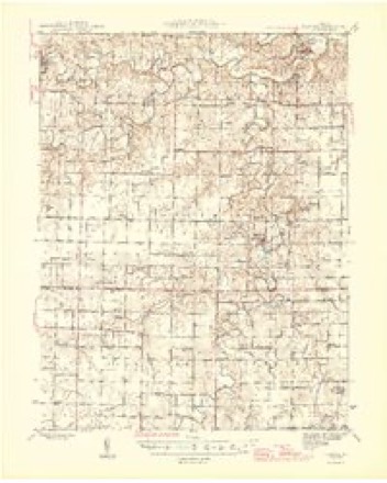
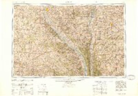
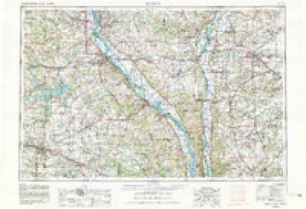
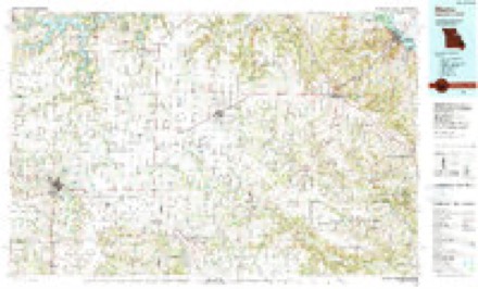
7 surveys from 16 printed sheetsMatched by testing this settlement's coordinate against the published boundary of every sheet in the United States Geological Survey's historical collection. Each opens the scanned sheet at the Survey.
- 1890 USGS Mexico quadrangle1:125000, 4 printings
- 1890 USGS Perry quadrangle1:125000
- 1945 USGS Florida quadrangle1:62500, 3 printings
- 1948 USGS Quincy quadrangle1:250000, 2 printings
- 1956 USGS Quincy quadrangle1:250000, 3 printings
- 1972 USGS Santa Fe quadrangle1:24000
- 1986 USGS Mexico quadrangle1:100000, 2 printings
What happened here
An account from the chapter on South Fork township. The inset identifies its exact source book and publication year.
Chapter Xiii
Introductory Remarks - Priestly H. McBride - David Todd - Austin A. King - Ezra Hunt - A. B. Chambers - Albert G. Harrison - John Anderson - James R. Abernathy - Present Members of the Bar - Crimes and Accidents - Miss Jennie Searcy Killed by a Train of Cars - W.T.Johnson - JepthaHeathman - George Stayton - Robert Cummings - "William Rouse - W.
In the county-history sources
40,518 words on this townshipHistory of Monroe and Shelby Counties, Missouri, published 1884 names this settlement in its chapter on South Fork Township. These are the passages that mention it, exactly as the scans read.
As early as 1820 Benjamin Young settled on the South fork not far from Santa Fe. He was the only settler in that portion of the county until 1828. Only eight families were living in this settlement when the county was organized. For eleven years after the first settlements were commenced, the history of the county is connected with that of Ralls. These were years of toil and hardship, of hope and disappointment, of genuine hospitality and true friendships. There was no squinting at aristrocracy among the people, no formalities, all were on one common footing, grappling with nature in a united effort to reduce it to the uses of civilization. Rude cabins with puncheon floors or without even this resemblance of a floor, without windows, except a hole closed with apiece of greased paper to let in the light, were built, forests were felled and cleared away by the united efforts of the pioneers. Immigration came in slowly ; gradually the settlements began to lose that distinctiveness of separation which characterized them during their earliest years ; gradually the monotony of the wide stretches of country intervening between the settlements was broken up by rude cabins of the pioneers, scattered here and there ; gradually the settlements were linked together. There were no trading places, blacksmith-shops nor mills in the county for a number of years. The settlements supplied their few wants at the trading posts or towns on the Missouri or Mississippi rivers. The first blacksmith shop in the county was opened on the Louisiana road, near where Upton's old shop now stands, by Charles Eales. Among the first, and perhaps the first store in the county, was opened in the fall of 1830, one-half mile south of Florida, near where Hickman's mills now stand, by Maj. W. N. Penn. The town of Florida was laid out during the winter of 1831. Robert Donaldson, John Witt, Dr. Keenan, Joseph Grigsby, W. N. Penn and Hugh A. Hickman were its founders. Soon after the town was laid out Maj. Penn moved his stock of goods to the site, and became the first merchant of Florida.
Passage source: History of Monroe and Shelby Counties, Missouri, published 1884.
Machine-read from a century-old scan, so expect the errors a machine makes: misspelled names, dropped words, stray characters.
Fires near this place
6 since 1992Regional context, not property-specific evidence. The federal wildfire occurrence database lists 6 fires within 5 miles of Santa Fe between 1992 and 1997, burning about 135 acres in total. None started naturally. None was recorded as arson. Distance is straight-line from the map coordinates, so a fire counted here may appear on a neighbouring settlement's page as well.
| Reported cause | Fires |
|---|---|
| Debris and open burning | 4 |
| Missing data/not specified/undetermined | 2 |
The most recent of them, most recent first, with the day each was reported and the service that recorded it.
| Date | Cause | Size | Reported by | Name on the report |
|---|---|---|---|---|
| 19 August 1994 | Missing data/not specified/undetermined | 1.0 acres | Missouri Department of Conservation | not named |
| 8 June 1992 | Debris and open burning | 8.0 acres | Missouri Department of Conservation | not named |
| 3 April 1997 | Debris and open burning | 4.0 acres | Missouri Department of Conservation | not named |
| 17 February 1994 | Debris and open burning | 120 acres | Missouri Department of Conservation | not named |
| 6 December 1996 | Debris and open burning | 1.0 acres | Missouri Department of Conservation | not named |
| 3 October 1994 | Missing data/not specified/undetermined | 1.0 acres | Missouri Department of Conservation | not named |
Settlements close enough to share some of these fires:
Mines and quarries near this place
3 within 5 milesRegional context, not property-specific evidence. The federal mineral resources record lists 3 workings within 5 miles of Santa Fe: 2 past producers, 1 producer. 1 still produces. What was taken out: Sand and Gravel, Construction, Coal, Stone, Crushed/Broken. Distance is straight-line from the map coordinates, so a quarry counted here may appear on a neighbouring settlement's page as well.
| Where | Site | Commodity | Status | Recorded |
|---|---|---|---|---|
| Unk | Coal, Stone, Crushed/Broken | Past Producer | ||
| Mill Creek Sand & Gravel | Sand and Gravel, Construction | Producer | ||
| Unknown | Sand and Gravel, Construction | Past Producer |
Storms near this place
8 since 1995Regional context, not property-specific evidence. The National Weather Service names Santa Fe in 8 storm reports between 1995 and 2024: 3 hail, 3 thunderstorm wind, 1 tornado, 1 flash flood. No death or injury is recorded in these reports. Each account below is quoted exactly as the forecast office filed it, from the NOAA Storm Events Database, and each date opens the federal record of that event.
| When | Event | Place named | Harm | What the report says |
|---|---|---|---|---|
| April 2024 | Thunderstorm Wind | Santa Fe | $5,000 | Shingles were blown off at least one house and 1 inch diameter tree limbs were broken. |
| July 2023 | Thunderstorm Wind | Santa Fe | - | Several large tree limbs were blown down. |
| June 2015 | Thunderstorm Wind | Santa Fe | - | Thunderstorm winds blew down a large tree. |
| July 2014 | Flash Flood | Santa Fe | - | Up to 5 inches of rain fell in a short amount of time causing flash flooding. U.S. Highway 24 just west of Stoutsville had a foot of water over it at the Otter Creek bridge. |
| May 2009 | Tornado (EF0) | Santa Fe | - | A tornado briefly touched down in an open field and traveled to the east. It bent one power pole, blew down several large tree limbs and a couple of trees before lifting and dissipating. |
| May 1995 | Hail | Santa Fe | - | Hail ranged in size from three-quarters inch to one and one-quarter inches. |
| April 2020 | Hail | Santa Fe | - | no account filed |
| March 2006 | Hail | Santa Fe | - | no account filed |
Nearest settlements
The eight closest, with where each one stands in the county. Distances are straight-line, computed from the Geographic Names Information System coordinates.
| Map | Place | Distance | Sheets |
|---|---|---|---|
| Strother | 5.4 miles | 16 | |
| Victor | 5.9 miles | 16 | |
| Buzzards Roost | 7.2 miles | 16 | |
| Florida | 8.7 miles | 16 | |
| Leich Ford | 9.7 miles | 11 | |
| Goss | 12.0 miles | 11 | |
| Paris | 12.4 miles | 18 | |
| Stoutsville | 12.5 miles | 11 |
Elsewhere
Matched on this settlement's Geographic Names Information System number rather than its name, so it cannot be a different place of the same name in another state.
| Wikipedia article on Santa Fe | An encyclopaedic summary. Its text is share-alike, so it is linked here rather than copied. |
| Wikidata item Q11233942 | The structured record the population and elevation above come from. Public domain (CC0). |
Provenance
This settlement is recorded in the Geographic Names Information System as feature 726050. The sheet list is computed by point-in-boundary test against the United States Geological Survey's historical topographic inventory. Both are works of the United States government and carry no copyright under 17 U.S.C. 105.
Wildfire. Short, Karen C. 2022. Spatial wildfire occurrence data for the United States, 1992-2020 [FPA_FOD_20221014]. 6th Edition. Fort Collins, CO: Forest Service Research Data Archive. https://doi.org/10.2737/RDS-2013-0009.6 Collected with United States Government funding and usable without additional permissions or fees.
Mines and quarries. USGS Mineral Resources Data System (MRDS) https://mrdata.usgs.gov/mrds/ A work of the United States government, no copyright under 17 U.S.C. 105.
Storms. NOAA National Centers for Environmental Information, Storm Events Database https://www.ncei.noaa.gov/stormevents/ A work of the United States government, no copyright under 17 U.S.C. 105. Narratives are quoted verbatim from the National Weather Service report and are not edited or summarised.