 Block
Sheldon, Missouri
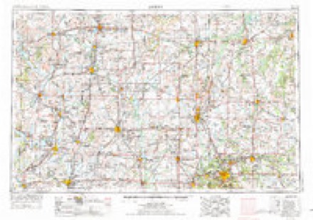
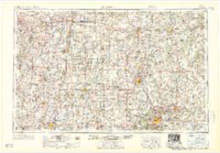
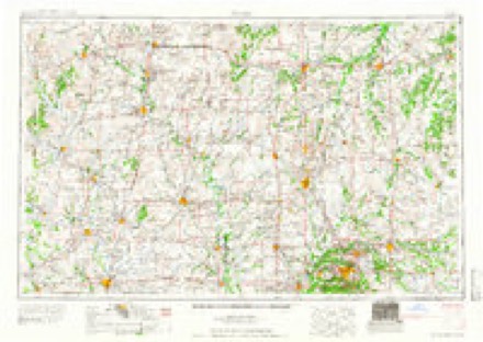
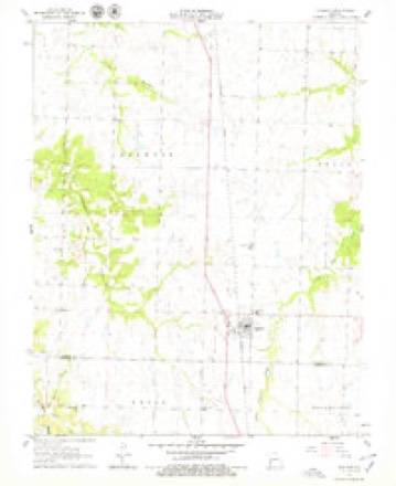
17 topographic sheets cover this place, the earliest surveyed in 1886 and the latest in 1991. It stands in Drywood Township. It lies in ZIP code area 64784. The Survey maps it on the Sheldon quadrangle. 435 people lived here at the 2020 count. It stands 922 feet above sea level.
Population over time
2 figuresSheldon fell from 543 to 435 between 2010 and 2020. These are the recorded population figures Wikidata holds for this place, reached through the Geographic Names Information System number this page is keyed on rather than by name, so they belong to this place and not to another of the same name. Most are census counts, but not all are: an early figure may be a founding or settlement estimate, and an estimate published within five years of a census is left out. The change column is computed, and is left blank where more than 20 years separate a figure from the one before it, because a gap that long is not a change between two counts.
| Year | People | Change |
|---|---|---|
| 2010 | 543 | |
| 2020 | 435 | -108 (-20%) |
Topographic sheets covering this place
10 surveys from 17 printed sheetsMatched by testing this settlement's coordinate against the published boundary of every sheet in the United States Geological Survey's historical collection. Each opens the scanned sheet at the Survey.
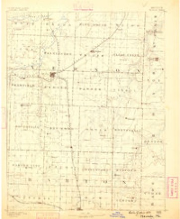
- 1886 USGS Nevada quadrangle1:125000
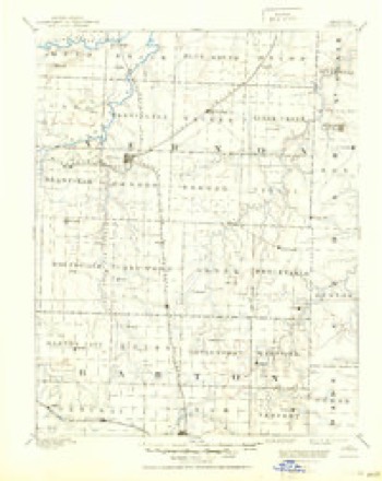
- 1894 USGS Nevada quadrangle1:125000, 5 printings
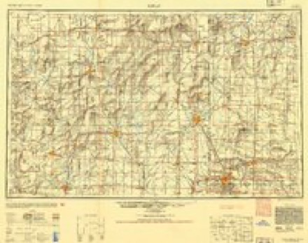
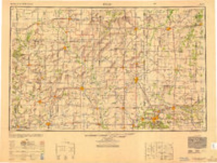
- 1947 USGS Joplin quadrangle1:250000
- 1949 USGS Joplin quadrangle1:250000
- 1954 USGS Joplin quadrangle1:250000, 3 printings
- 1958 USGS Joplin quadrangle1:250000
- 1959 USGS Joplin quadrangle1:250000
- 1962 USGS Sheldon quadrangle1:24000, 2 printings
- 1986 USGS Nevada quadrangle1:100000
- 1991 USGS Nevada quadrangle1:100000
In the county-history sources
7,494 words on this townshipHistory of Vernon County, Missouri : Past and Present, Including an Account of the Cities, Towns and Villages of the County, published 1911 names this settlement in its chapter on Drywood Township. These are the passages that mention it, exactly as the scans read.
Pleasant Run is appropriately named. It is indeed a very pleasant stream. Rising a mile north of Sheldon, it Aoavs in a general direction to the northwest, leaving the township two miles north and five miles west of its source at the railroad, and empties into Little Drywood. Along its banks in many places the sand¬ stone forms cosy grottoes, and with the trees and bushes pre¬ sents delightful retreats and pleasant seats.
Passage source: History of Vernon County, Missouri : Past and Present, Including an Account of the Cities, Towns and Villages of the County, published 1911.
On the southwest quarter of section 23, a little west of the railroad water tank north of Sheldon, a fine natural mound rises out of the prairie to the height of sixty feet, its base covering more than an acre of ground. From the top of this mound, which is covered with ferruginous sandstone, a delightful view of the surrounding country is to be had.
Passage source: History of Vernon County, Missouri : Past and Present, Including an Account of the Cities, Towns and Villages of the County, published 1911.
The Avola school district at that time was composed of what later made the Sheldon, Avola and Correll districts. When the Avola district was separated from the others, a sclioolhouse of hewn hickory logs was put up in what later became the Correll or Prairie View district. Some time later, about 1871, some pub¬ lic benefactor conceived the idea of making a passageway through the prairie grass to the schoolhouse for those children who lived in the southeastern corner of the district, and with this end in view a team was hitched to a small log and this was dragged through the five-foot prairie grass from a point southeast of where Sheldon now stands to the log schoolhouse. This trail crossed what is now Main street in Sheldon at the intersection of Second street, where the Farmers' Bank building now stands and from there on a direct line northwest by west. This path was greatly appreciated not only by the few school children for whose use it was made, but, lacking roads, it became a thor- oughfare for all who had occasion to travel in that general direc¬ tion; the herds of cattle which fed at pleasure on the prairies used it for their passage and it became so definitely marked that it was not until the plow of the farmer succeeded the herd of the cattleman that it was obliterated. Sheldon district separated from the Correll district in 1875 and the first school in the former
Passage source: History of Vernon County, Missouri : Past and Present, Including an Account of the Cities, Towns and Villages of the County, published 1911.
Machine-read from a century-old scan, so expect the errors a machine makes: misspelled names, dropped words, stray characters.
Read the whole chapter on Drywood Township - it names this place 33 more 33 times.
Fires near this place
25 since 1992Regional context, not property-specific evidence. The federal wildfire occurrence database lists 25 fires within 5 miles of Sheldon between 1992 and 2018, burning about 485 acres in total. None started naturally. 5 were recorded as arson. Distance is straight-line from the map coordinates, so a fire counted here may appear on a neighbouring settlement's page as well.
| Reported cause | Fires |
|---|---|
| Missing data/not specified/undetermined | 11 |
| Debris and open burning | 6 |
| Arson/incendiarism | 5 |
| Equipment and vehicle use | 2 |
| Smoking | 1 |
The most recent of them, most recent first, with the day each was reported and the service that recorded it.
| Date | Cause | Size | Reported by | Name on the report |
|---|---|---|---|---|
| 1 August 2018 | Missing data/not specified/undetermined | 1.7 acres | Missouri Department of Conservation | 177397-10882-08012018-1258 |
| 15 July 2018 | Missing data/not specified/undetermined | under an acre | Missouri Department of Conservation | 177305-10882-07152018-1835 |
| 12 July 2018 | Equipment and vehicle use | 4.3 acres | Missouri Department of Conservation | 177304-10882-07122018-1327 |
| 22 June 1997 | Missing data/not specified/undetermined | 30 acres | Missouri Department of Conservation | not named |
| 10 April 2017 | Arson/incendiarism | 2.0 acres | Missouri Department of Conservation | not named |
| 4 March 2017 | Missing data/not specified/undetermined | 3.0 acres | Missouri Department of Conservation | not named |
| 25 March 2018 | Missing data/not specified/undetermined | 38 acres | Missouri Department of Conservation | 177302-10882-03252018-1723 |
| 23 March 2018 | Missing data/not specified/undetermined | 3.4 acres | Missouri Department of Conservation | 178085-00625-03232018-1757 |
Settlements close enough to share some of these fires:
Mines and quarries near this place
2 within 5 milesRegional context, not property-specific evidence. The federal mineral resources record lists 2 workings within 5 miles of Sheldon: 2 past producers. None of them still produces. What was taken out: Lead, Stone, Crushed/Broken. Distance is straight-line from the map coordinates, so a quarry counted here may appear on a neighbouring settlement's page as well.
| Where | Site | Commodity | Status | Recorded |
|---|---|---|---|---|
| Consolidated Troup Mine # 2 | Lead | Past Producer | ||
| Unknown - Ls. | Stone, Crushed/Broken | Past Producer |
Storms near this place
26 since 1996Regional context, not property-specific evidence. The National Weather Service names Sheldon in 26 storm reports between 1996 and 2022: 12 hail, 9 thunderstorm wind, 3 tornado, 1 flash flood. The reports record 2 injuries. Each account below is quoted exactly as the forecast office filed it, from the NOAA Storm Events Database, and each date opens the federal record of that event.
| When | Event | Place named | Harm | What the report says |
|---|---|---|---|---|
| March 2006 | Tornado (F1) | Sheldon | 2 hurt, $700,000 | A supercell thunderstorm produced a tornado that intially touched down east of Sheldon. The tornado tracked across rural southeast Vernon County, destroying six homes, and one church located near Virgil City. The tornado extended into Cedar County. |
| August 2018 | Tornado (EF1) | Sheldon | $25,000 | A National Weather Service survey determined that EF-1 tornado starting 1.5 SE of Sheldon, Mo. Damage occurred to a few farm outbuildings. The tornado continued on the ground for two minutes to the northeast uprooting trees along the tornado path before lifting one mile east of Sheldon, Mo. Maximum winds were estimated at 95 mph. |
| June 2015 | Thunderstorm Wind | Sheldon | $10,000 | Numerous trees and power lines were blown down in Sheldon. |
| July 2007 | Thunderstorm Wind | Sheldon | $5,000 | Severe thunderstorm wind gusts downed trees and power lines in the community of Sheldon. |
| September 2005 | Thunderstorm Wind | Sheldon | $4,000 | Thunderstorm wind gusts downed a few power poles near Sheldon. |
| July 2014 | Thunderstorm Wind | Sheldon | $1,000 | A tree was blown down and partially blocked Highway DD. |
| July 2011 | Thunderstorm Wind | Sheldon | $500 | A large metal sign was blown over on Highway 71 at County Road DD. |
| April 2022 | Hail | Sheldon | - | Half dollar sized hail was reported via MPing. |
| May 2020 | Hail | Sheldon | - | Quarter to half dollar sized hail was reported. |
| June 2019 | Thunderstorm Wind | Sheldon | - | A trained spotter estimated wind gusts at 60 mph. |
| May 2019 | Flood | Sheldon | - | A State Trooper reported water over the roadway on Route N near Route BB, northwest of Sheldon. A request for barricades was made as Pleasant Run Creek was flowing out of its banks. |
| August 2009 | Hail | Sheldon | - | Law enforcement reported penny size hail. |
| February 2017 | Hail | Sheldon | - | no account filed |
| April 2013 | Hail | Sheldon | - | no account filed |
| June 2010 | Hail | Sheldon | - | no account filed |
| August 2006 | Hail | Sheldon | - | no account filed |
| September 2005 | Hail | Sheldon | - | no account filed |
| August 2003 | Thunderstorm Wind | Sheldon | - | no account filed |
| May 2003 | Tornado (F0) | Sheldon | - | no account filed |
| May 2003 | Hail | Sheldon | - | no account filed |
| February 2001 | Flash Flood | Sheldon | - | no account filed |
| April 1998 | Hail | Sheldon | - | no account filed |
| June 1996 | Hail | Sheldon | - | no account filed |
| May 1996 | Thunderstorm Wind | Sheldon | - | no account filed |
| May 1996 | Thunderstorm Wind | Sheldon | - | no account filed |
| March 1996 | Hail | Sheldon | - | no account filed |
Nearest settlements
The eight closest, with where each one stands in the county. Distances are straight-line, computed from the Geographic Names Information System coordinates.
| Map | Place | Distance | Sheets |
|---|---|---|---|
| Rousertown | 4.4 miles | 17 | |
| Bellamy | 6.2 miles | 17 | |
| Milo | 6.8 miles | 21 | |
| Sandstone | 8.5 miles | 20 | |
| Bronaugh | 9.7 miles | 17 | |
| Bristow | 10.2 miles | 21 | |
| Zodiac | 10.7 miles | 17 | |
| Montevallo | 10.8 miles | 17 |
Elsewhere
Matched on this settlement's Geographic Names Information System number rather than its name, so it cannot be a different place of the same name in another state.
| Wikipedia article on Sheldon | An encyclopaedic summary. Its text is share-alike, so it is linked here rather than copied. |
| Wikidata item Q962833 | The structured record the population and elevation above come from. Public domain (CC0). |
Provenance
This settlement is recorded in the Geographic Names Information System as feature 726310. The sheet list is computed by point-in-boundary test against the United States Geological Survey's historical topographic inventory. Both are works of the United States government and carry no copyright under 17 U.S.C. 105.
Wildfire. Short, Karen C. 2022. Spatial wildfire occurrence data for the United States, 1992-2020 [FPA_FOD_20221014]. 6th Edition. Fort Collins, CO: Forest Service Research Data Archive. https://doi.org/10.2737/RDS-2013-0009.6 Collected with United States Government funding and usable without additional permissions or fees.
Mines and quarries. USGS Mineral Resources Data System (MRDS) https://mrdata.usgs.gov/mrds/ A work of the United States government, no copyright under 17 U.S.C. 105.
Storms. NOAA National Centers for Environmental Information, Storm Events Database https://www.ncei.noaa.gov/stormevents/ A work of the United States government, no copyright under 17 U.S.C. 105. Narratives are quoted verbatim from the National Weather Service report and are not edited or summarised.