 Block
Silver Lake, Missouri
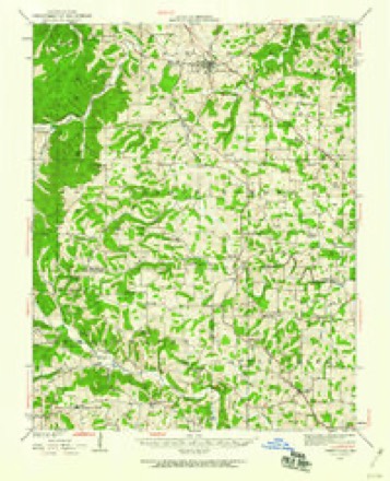
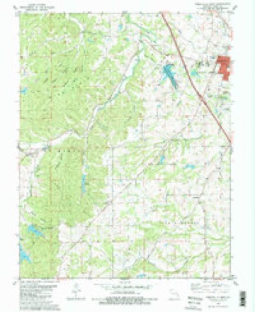
18 topographic sheets cover this place, the earliest surveyed in 1923 and the latest in 1987. It stands in St. Marys Township. It lies in ZIP code area 63775. It stands on Nations Creek. The Survey maps it on the Perryville West quadrangle. It stands 568 feet above sea level.
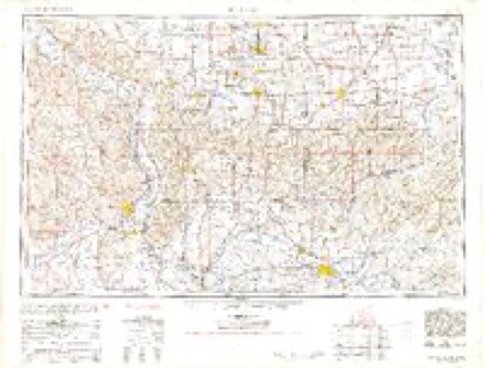
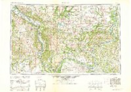
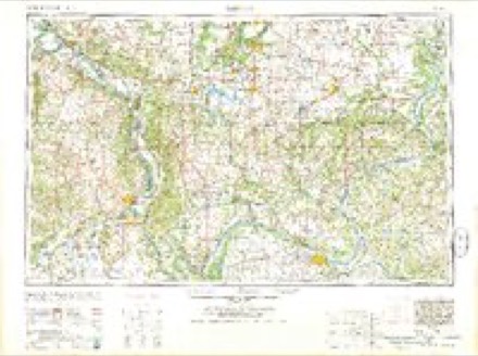
Topographic sheets covering this place
11 surveys from 18 printed sheetsMatched by testing this settlement's coordinate against the published boundary of every sheet in the United States Geological Survey's historical collection. Each opens the scanned sheet at the Survey.
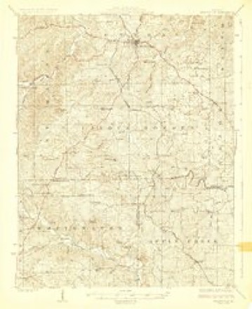
- 1923 USGS Perryville quadrangle1:62500, 2 printings
- 1924 USGS Perryville quadrangle1:62500, 2 printings
- 1949 USGS Paducah quadrangle1:250000, 2 printings
- 1950 USGS Paducah quadrangle1:250000
- 1954 USGS Paducah quadrangle1:250000, 2 printings
- 1961 USGS Paducah quadrangle1:250000, 2 printings
- 1964 USGS Paducah quadrangle1:250000, 2 printings
- 1980 USGS Perryville West quadrangle1:24000, 2 printings
- 1984 USGS Carbondale quadrangle1:100000
- 1986 USGS Carbondale quadrangle1:100000
- 1987 USGS Paducah quadrangle1:250000
Fires near this place
10 since 1994Regional context, not property-specific evidence. The federal wildfire occurrence database lists 10 fires within 5 miles of Silver Lake between 1994 and 2018, burning about 200 acres in total. None started naturally. None was recorded as arson. Distance is straight-line from the map coordinates, so a fire counted here may appear on a neighbouring settlement's page as well.
| Reported cause | Fires |
|---|---|
| Debris and open burning | 8 |
| Missing data/not specified/undetermined | 2 |
The most recent of them, most recent first, with the day each was reported and the service that recorded it.
| Date | Cause | Size | Reported by | Name on the report |
|---|---|---|---|---|
| 20 April 2018 | Missing data/not specified/undetermined | under an acre | Missouri Department of Conservation | 176801-09435-04202018-1431 |
| 5 March 1994 | Debris and open burning | 3.0 acres | Missouri Department of Conservation | not named |
| 25 March 1995 | Debris and open burning | 33 acres | Missouri Department of Conservation | not named |
| 24 March 1995 | Debris and open burning | 1.0 acres | Missouri Department of Conservation | not named |
| 22 March 1995 | Debris and open burning | 5.0 acres | Missouri Department of Conservation | not named |
| 21 March 1995 | Debris and open burning | 2.0 acres | Missouri Department of Conservation | not named |
| 16 February 2011 | Debris and open burning | 120 acres | Missouri Department of Conservation | not named |
| 15 February 2011 | Missing data/not specified/undetermined | 10 acres | Missouri Department of Conservation | not named |
Settlements close enough to share some of these fires:
Mines and quarries near this place
9 within 5 milesRegional context, not property-specific evidence. The federal mineral resources record lists 9 workings within 5 miles of Silver Lake: 9 past producers. None of them still produces. What was taken out: Lead, Clay, Sand and Gravel, Construction, Zinc. Distance is straight-line from the map coordinates, so a quarry counted here may appear on a neighbouring settlement's page as well.
| Where | Site | Commodity | Status | Recorded |
|---|---|---|---|---|
| Mccormick Mine | Lead, Zinc | Past Producer | ||
| Unknown | Stone, Crushed/Broken | Past Producer | ||
| Silver Lake Mine | Clay | Past Producer | ||
| Unknown | Clay | Past Producer | ||
| Unknown | Sand and Gravel, Construction | Past Producer | ||
| Unknown | Sand and Gravel, Construction | Past Producer | ||
| Horn S Diggings | Lead | Past Producer | ||
| Planena Mines | Lead | Past Producer | ||
| Rozier & Wilkinsons Diggings | Lead | Past Producer |
Storms near this place
11 since 1993Regional context, not property-specific evidence. The National Weather Service names Silver Lake in 11 storm reports between 1993 and 2023: 4 hail, 3 thunderstorm wind, 2 tornado, 1 flash flood. The reports record 1 death and 12 injuries. Each account below is quoted exactly as the forecast office filed it, from the NOAA Storm Events Database, and each date opens the federal record of that event.
| When | Event | Place named | Harm | What the report says |
|---|---|---|---|---|
| February 2017 | Tornado (EF4) | Silver Lake | 1 killed, 12 hurt, $8,000,000 | This large and violent tornado touched down about four miles west of Perryville. The tornado quickly became violent, reaching EF-4 intensity and leveling five homes just west of Interstate 55, about 3.5 miles northwest of Perryville. Numerous unoccupied cars from a salvage yard were blown into or over Interstate 55. The lone fatality occurred when a southbound vehicle on Interstate 55 was intercepted by the tornado. The victim's pickup truck was tossed into a field at least 100 yards from the interstate. The coroner reported that the victim was thrown from the vehicle and died at the scene. The passenger in the vehicle was treated for minor injuries at a local hospital. The area of greatest home and property destruction was three miles north of Perryville, in the vicinity of U.S. Highway 61. Maximum wind speeds were estimated near 180 mph in the vicinity of Interstate 55 and also near U.S. Highway 61. The damage path showed multiple vortex characteristics with ground striations and scarring to bare ground. At least 100 homes were damaged or destroyed in Perry County, mostly on the northern outskirts of Perryville. Most persons in the tornado's path took shelter in their basements. All twelve tornado injuries occurred in Perry County, where the tornado was at its strongest. At least one couple was trapped in their basement until rescuers removed debris. As the tornado approached the Mississippi River, multiple ground striations were noted in a farm field, indicative of multiple vortices. The maximum path width was over one-half mile shortly before the tornado crossed the Mississippi River into Randolph County, Illinois. |
| May 2009 | Thunderstorm Wind | Silver Lake | $50,000,000 | Widespread damaging winds affected most of the county. Hundreds of trees were blown down, roofs were blown off, and signs became airborne. In Perryville, the exterior wall of a tire company collapsed. The entire building was deemed a total loss. Structural damage occurred in many communities, mostly due to falling trees. Among other structures, a machine shed was destroyed in Millheim. Most residents of the county experienced some type of damage, ranging from downed trees to roofs off. Vehicles were smashed by falling trees. At a church, the roof was damaged, and tombstones were toppled at an adjacent cemetery. The glass of the front door was blown out. At another church in Altenburg, a 22,000-pound steeple constructed in 1867 blew down onto the roof. A large portion of the roof was peeled off an apartment complex in Perryville, forcing its evacuation. The roof of the new senior center in Perryville was destroyed. Emergency workers conducted door-to-door checks using vehicles and helicopters. |
| February 1999 | Hail | Silver Lake | $6,000,000 | An extensive hailstorm pounded much of Perry County with hailstones up to 2 inches in diameter, which is slightly bigger than a golf ball. In downtown Perryville, hailstones measuring up to 2 inches in diameter fell for 10 to 12 minutes. Insurance companies estimated damage in excess of 5 million dollars. Windows were broken out of homes and vehicles, skylights were broken, and vinyl siding was damaged. Most of the hail damage in Perryville was on the southern side of town. At the Perry County Sheriff Department, all the police vehicles were dented, and a skylight in the main cell block broke. All 200 vehicles at an auto dealership near I-55 and Route 51 received damage, including some broken windshields. |
| September 2006 | Tornado (F2) | Silver Lake | $150,000 | The tornado entered Perry County from the extreme southeast corner of St. Francois County. The tornado was at its strongest along and north of County Road 738, shortly after entering Perry County. In this area, the damage path was about 400 yards wide, and peak winds were estimated near 120 MPH. A farm building was levelled, roofs were torn off houses, and dozens of acres of trees were flattened. The tornado weakened to F-1 intensity as it crossed Highway BB, where nearly 100 trees were uprooted and roofs were partially damaged. The path width was estimated around 200 yards at Highway BB. As the tornado continued east across County Road 730, a barn was destroyed, and dozens of trees were down. The path width was about 100 yards when the tornado reached Lake Perry, close to where it lifted along Highway T. At a campground on Lake Perry, recreational vehicles were overturned and damaged by falling trees. The path ended southwest of Silver Lake at Highway T. The average path width was 200 yards. In total, hundreds of acres of timber were flattened, several barns were destroyed, and others were severely damaged. Shingles and decking were ripped off several homes. The parent supercell that produced this tornado later produced a separate F-4 tornado in eastern parts of Perry County. |
| August 2023 | Thunderstorm Wind | Silver Lake | $8,000 | Trees were down, with power outages at Lake Perry. |
| August 2018 | Flood | Silver Lake | - | Water was over a couple of main roads, including Highway 51 south of Perryville and Highway T in several spots between Perryville and Silver Lake. |
| May 1993 | Hail | Silver Lake | - | KSGM Radio reported golf ball-size hail at Silver Lake and the county sheriff reported golf ball-size hail later at Biehle. Heavy rain also produced flash flooding southwest of Perryville where as much as six inches of water covered several area roads. |
| May 2003 | Hail | Silver Lake | - | no account filed |
| April 2003 | Hail | Silver Lake | - | no account filed |
| April 2003 | Flash Flood | Silver Lake | - | no account filed |
| April 2003 | Thunderstorm Wind | Silver Lake | - | no account filed |
Nearest settlements
The eight closest, with where each one stands in the county. Distances are straight-line, computed from the Geographic Names Information System coordinates.
| Map | Place | Distance | Sheets |
|---|---|---|---|
| Friendly Valley | 4.2 miles | 18 | |
| Parker Lake | 4.6 miles | 20 | |
| Highland | 5.4 miles | 18 | |
| Yount | 6.0 miles | 19 | |
| Shakertowne | 6.3 miles | 18 | |
| Corners | 6.7 miles | 20 | |
| Millheim | 7.1 miles | 17 | |
| Perryville | 7.4 miles | 18 |
Elsewhere
Matched on this settlement's Geographic Names Information System number rather than its name, so it cannot be a different place of the same name in another state.
| Wikipedia article on Silver Lake | An encyclopaedic summary. Its text is share-alike, so it is linked here rather than copied. |
| Wikidata item Q14704487 | The structured record the population and elevation above come from. Public domain (CC0). |
Provenance
This settlement is recorded in the Geographic Names Information System as feature 726452. The sheet list is computed by point-in-boundary test against the United States Geological Survey's historical topographic inventory. Both are works of the United States government and carry no copyright under 17 U.S.C. 105.
Wildfire. Short, Karen C. 2022. Spatial wildfire occurrence data for the United States, 1992-2020 [FPA_FOD_20221014]. 6th Edition. Fort Collins, CO: Forest Service Research Data Archive. https://doi.org/10.2737/RDS-2013-0009.6 Collected with United States Government funding and usable without additional permissions or fees.
Mines and quarries. USGS Mineral Resources Data System (MRDS) https://mrdata.usgs.gov/mrds/ A work of the United States government, no copyright under 17 U.S.C. 105.
Storms. NOAA National Centers for Environmental Information, Storm Events Database https://www.ncei.noaa.gov/stormevents/ A work of the United States government, no copyright under 17 U.S.C. 105. Narratives are quoted verbatim from the National Weather Service report and are not edited or summarised.