 Block
Smithton, Missouri
29 topographic sheets cover this place, the earliest surveyed in 1886 and the latest in 1982. It stands in Missouri Township. It lies in ZIP code area 65203. It stands on Goose Creek. The Survey maps it on the Columbia quadrangle. The federal gazetteer marks this settlement historical: it is no longer a populated place, though the surveys that recorded it still are.
On record in Smithton
Buildings and businesses the archive holds for this place. Each opens its own page, with the source record it came from.
On the National Register within a mile 12 of 33 shown
The National Register names another town for these. They stand within one mile of this settlement's coordinate.
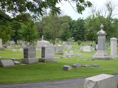 Columbia Cemeterylisted 2007 · 0.1 miles away
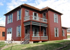 John W. Boone Houselisted 1980 · 0.3 miles away
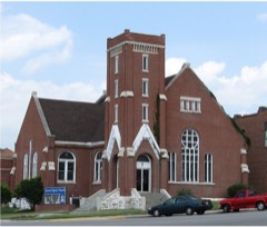 Second Baptist Churchlisted 1980 · 0.3 miles away
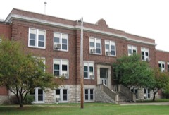 Fred Douglass Schoollisted 1980 · 0.3 miles away
 Missouri, Kansas, and Texas Railroad Depotlisted 1979 · 0.3 miles away
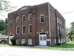 Second Christian Churchlisted 1980 · 0.4 miles away
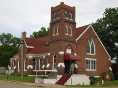 St. Paul A.M.E. Churchlisted 1980 · 0.4 miles away
 Columbia National Guard Armorylisted 1993 · 0.4 miles away
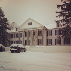 Sigma Alpha Epsilon Buildinglisted 2014 · 0.5 miles away
 Tiger Hotellisted 1980 · 0.5 miles away
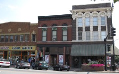 Miller Building, Matthews Hardware, Metropolitan Buildinglisted 2003 · 0.5 miles away
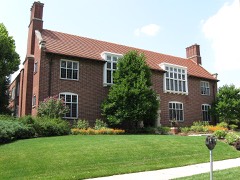 Missouri State Teachers Associationlisted 1980 · 0.5 miles away
Topographic sheets covering this place
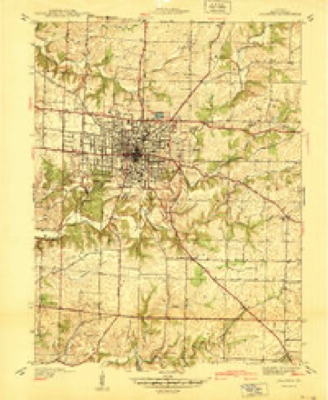
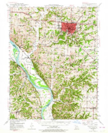
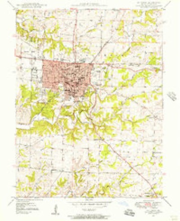
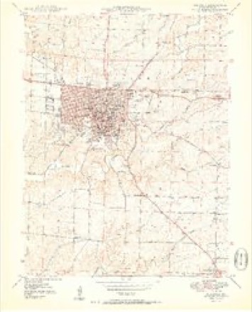
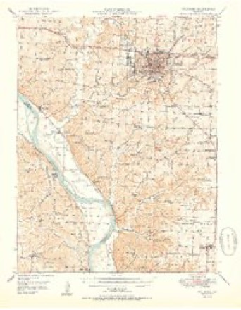
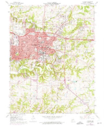
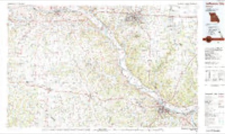
15 surveys from 29 printed sheetsMatched by testing this settlement's coordinate against the published boundary of every sheet in the United States Geological Survey's historical collection. Each opens the scanned sheet at the Survey.
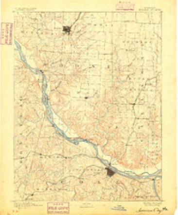
- 1886 USGS Jefferson City quadrangle1:125000
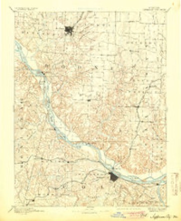
- 1894 USGS Jefferson City quadrangle1:125000, 4 printings
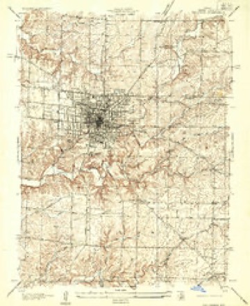
- 1935 USGS Columbia quadrangle1:24000
- 1940 USGS Columbia quadrangle1:24000
- 1947 USGS Jefferson City quadrangle1:250000
- 1948 USGS Columbia quadrangle1:62500, 2 printings
- 1948 USGS Columbia quadrangle1:24000, 2 printings
- 1950 USGS Columbia quadrangle1:24000, 2 printings
- 1950 USGS Columbia quadrangle1:62500, 2 printings
- 1954 USGS Jefferson City quadrangle1:250000, 2 printings
- 1955 USGS Jefferson City quadrangle1:250000, 4 printings
- 1958 USGS Jefferson City quadrangle1:250000
- 1959 USGS Jefferson City quadrangle1:250000
- 1967 USGS Columbia quadrangle1:24000, 4 printings
- 1982 USGS Jefferson City quadrangle1:100000





What happened here
An account from the chapter on Missouri township. The inset identifies its exact source book and publication year.
Cholera In Rocheport
In 1849 cholera again visited Rocheport. Several cases occurred. Alexander Graver,^ the driver of the stage from Rocheport to Columbia, came near being buried alive. He was attacked with cholera and to all appearances died. His coffin had been prepared and full prep- aratioiis made for his burial, when a Dr.
In the county-history sources
37,381 words on this townshipHistory of Boone County, Missouri. Written and Comp. from the Most Authentic Official and Private Sources; Including a History of Its Townships, Towns, and Villages. Together with a Condensed History of Missouri; the City of St. Louis ... Biographical Sketches and Portraits of Prominent Citizens .., published 1882 names this settlement in its chapter on Missouri Township. These are the passages that mention it, exactly as the scans read.
Marcellus D. Cook was born in Hopkins county, Kentucky, near Madisonville, January 20th, 1818, where he lived with his parents until he attained his tenth year, when they came to Missouri and settled on a farm seven miles east of Rocheport, where he resided with his parents until he was twenty-one years of age, when he commenced farming for himself as a renter. He followed this business until 1842, when he purchased a farm on which he now lives. August 27th, 1839, he married Miss Elizabeth Smith, of Boone county, by whom he has seven children : Henry S., of Smithton, Missouri ; William Harrison, of Boone county ; David Willis, of Boone county; Charles M., merchant, of Columbia ; Amanda Ellen, wife of James R. Jacobs, of Boone county, and Jefferson Price and Samuel, at home with their parents. Mr. Cook and his wife are members of the Sugar Creek Baptist church, having united with that denomination in 1835. During the war he was not engaged on either side, but was Southern in sentiment. He suffered severe loss of property, but escaped without bodily harm. The Federal soldiers took from him about six hundred dollars worth of horses, and he was not even spared by his own party.
The subject of this sketch was born on the old John G. Cochran farm, two and one-half miles east of Rocheport, December 11th, 1832. He is the son of John G. and Delina Cochran. His grandfather, William Cochran, emigrated from Scotland before the revolutionary war and settled in Kentucky, removing from that State to Missouri in 1818, settling first at Boone's Lick, in Howard county, coming the following year to Boone county, where he located on a farm four and onehalf miles east of Rocheport. His son, John G., settled the farm, upon which Samuel was born, in 1825. The subject of this sketch remained with his parents until he was twenty-one years of age. He was married, October 16th, 1856, to Miss Amanda Boggs, who died December 22d, 1880. After his marriage Mr. Cochran purchased a farm which he cultivated until the breaking out of the war. In 1864 he joined the Confederate army, enlisting in Company K, 9th regiment, Jackman's brigade, of Shelby's division, with which he served until the close of the war, in 1865, when he returned to Boone county. Soon after his return he sold his farm and bought the place upon which he now resides, five miles east of Rocheport, known as the William Boggs farm, consisting of 160 acres. He has four children : MoUie D., Owen W., Amanda and Eliza B., all of whom are living with their parents. Mr. Cochran is in faith a Cumberland Presbyterian. One son and one daughter, Owen and Amanda, are members of the Baptist church at Sugar Creek. He is a member of the Rocheport lodge of A. F. and A. M.
Machine-read from a century-old scan, so expect the errors a machine makes: misspelled names, dropped words, stray characters.
Fires near this place
1 since 2005Regional context, not property-specific evidence. The federal wildfire occurrence database lists 1 fire within 5 miles of Smithton (historical) in 2005, burning under an acre in total. None started naturally. None was recorded as arson. Distance is straight-line from the map coordinates, so a fire counted here may appear on a neighbouring settlement's page as well.
| Reported cause | Fires |
|---|---|
| Smoking | 1 |
The most recent of them, most recent first, with the day each was reported and the service that recorded it.
| Date | Cause | Size | Reported by | Name on the report |
|---|---|---|---|---|
| 13 March 2005 | Smoking | under an acre | Missouri State Fire Marshal's Office | not named |
Settlements close enough to share some of these fires:
Mines and quarries near this place
10 of 20 shownRegional context, not property-specific evidence. The federal mineral resources record lists 20 workings within 5 miles of Smithton (historical): 15 past producers, 4 producers, 1 unknown. 4 still produce. What was taken out: Stone, Crushed/Broken, Fire Clay (Refractory), Clay. Distance is straight-line from the map coordinates, so a quarry counted here may appear on a neighbouring settlement's page as well.
| Where | Site | Commodity | Status | Recorded |
|---|---|---|---|---|
| Columbia Brick & Tile Clay Pit-Plnt | Clay | Producer | ||
| Unknown - Clay | Fire Clay (Refractory) | Unknown | ||
| Unknown - Clay | Fire Clay (Refractory) | Past Producer | ||
| Unknown - Clay | Fire Clay (Refractory) | Past Producer | ||
| Unknown - Clay | Fire Clay (Refractory) | Past Producer | ||
| Boone Quarry | Stone, Crushed/Broken | Producer | ||
| Boone Quarry - Plant | Stone, Crushed/Broken | Producer | ||
| City Quarry and Plant | Stone, Crushed/Broken | Producer | ||
| Garrett City Quarry | Stone, Crushed/Broken | Past Producer | ||
| Nichols Bros. Ls. Quarry | Stone, Crushed/Broken | Past Producer |
Nearest settlements
The eight closest, with where each one stands in the county. Distances are straight-line, computed from the Geographic Names Information System coordinates.
| Map | Place | Distance | Sheets |
|---|---|---|---|
| Columbia | 0.2 miles | 29 | |
| Moores Switch | 1.7 miles | 29 | |
| Turner | 4.1 miles | 22 | |
| Prathersville | 4.6 miles | 19 | |
| Switzler | 5.1 miles | 19 | |
| Harg | 5.9 miles | 22 | |
| Midway | 6.3 miles | 22 | |
| Pierpont | 6.4 miles | 21 |
Provenance
This settlement is recorded in the Geographic Names Information System as feature 759405. The sheet list is computed by point-in-boundary test against the United States Geological Survey's historical topographic inventory. Both are works of the United States government and carry no copyright under 17 U.S.C. 105.
Wildfire. Short, Karen C. 2022. Spatial wildfire occurrence data for the United States, 1992-2020 [FPA_FOD_20221014]. 6th Edition. Fort Collins, CO: Forest Service Research Data Archive. https://doi.org/10.2737/RDS-2013-0009.6 Collected with United States Government funding and usable without additional permissions or fees.
Mines and quarries. USGS Mineral Resources Data System (MRDS) https://mrdata.usgs.gov/mrds/ A work of the United States government, no copyright under 17 U.S.C. 105.