 Block
Smithton, Missouri
18 topographic sheets cover this place, the earliest surveyed in 1887 and the latest in 1983. It stands in Smithton Township. It lies in ZIP code area 65350. The Survey maps it on the Otterville West quadrangle. 506 people lived here at the 2020 count. It stands 873 feet above sea level.
Population over time
2 figuresSmithton fell from 570 to 506 between 2010 and 2020. These are the recorded population figures Wikidata holds for this place, reached through the Geographic Names Information System number this page is keyed on rather than by name, so they belong to this place and not to another of the same name. Most are census counts, but not all are: an early figure may be a founding or settlement estimate, and an estimate published within five years of a census is left out. The change column is computed, and is left blank where more than 20 years separate a figure from the one before it, because a gap that long is not a change between two counts.
| Year | People | Change |
|---|---|---|
| 2010 | 570 | |
| 2020 | 506 | -64 (-11%) |
Topographic sheets covering this place
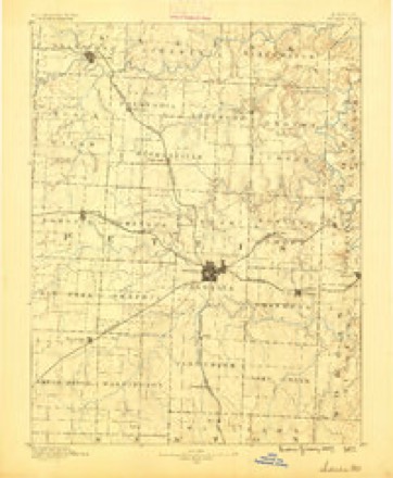
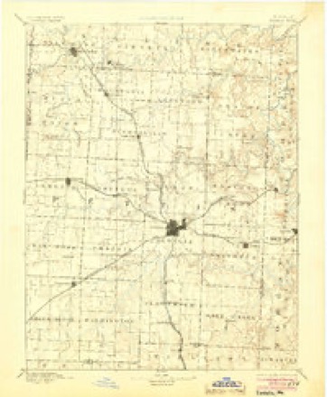
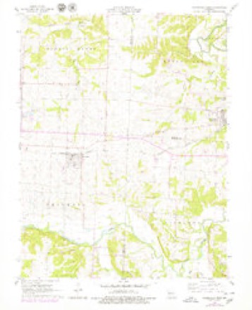
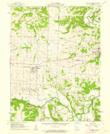
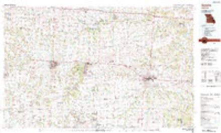
10 surveys from 18 printed sheetsMatched by testing this settlement's coordinate against the published boundary of every sheet in the United States Geological Survey's historical collection. Each opens the scanned sheet at the Survey.
- 1887 USGS Sedalia quadrangle1:125000
- 1894 USGS Sedalia quadrangle1:125000, 5 printings
- 1947 USGS Jefferson City quadrangle1:250000
- 1954 USGS Jefferson City quadrangle1:250000, 2 printings
- 1955 USGS Jefferson City quadrangle1:250000, 4 printings
- 1958 USGS Jefferson City quadrangle1:250000
- 1959 USGS Jefferson City quadrangle1:250000
- 1960 USGS Otterville West quadrangle1:24000
- 1961 USGS Otterville West quadrangle1:24000
- 1983 USGS Sedalia quadrangle1:100000





In the county-history sources
23,844 words on this townshipHistory of Pettis County, Missouri, published 1919 names this settlement in its chapter on Smithton Township. These are the passages that mention it, exactly as the scans read.
Roughtly speaking the county may be divided into areas of broadly rolling hills, gently rolling prairies, and broken hilly zones adjacent to some of the important streams. The broadly rolling hill land occupies the southern portion of the county, chiefly south of Flat Creek, and con¬ sists of high but well-rounded divides and hills with broad tops and easy slopes. The stream beds lie seventy-five to 150 feet below the crest of the divides, and their valleys, ordinarily quite narrow, are in places broadened by strips of bottoms. Gently rolling or level prairies occupy large tracts in the western, northern and central parts of the county and form one of the most conspicuous features of its topography. Notable among these prairies are the level fertile areas surrounding Green Ridge and Camp Branch, southwest of Sedalia; the Smithton, Sedalia, Dresden, and LaMonte prairies along the main line of the Missouri Pacific Rail¬ road, and the Hughesville-Hustonia prairies, in the northwest part of the county. Much of the area between Heath's and Muddy creeks is also this type. The broken hilly zones are confined chiefly to the northern and southeastern portions of the county and do not extend far back from the streams. Most notable of these are found in Heath's Creek and Bowling Green townships.
Passage source: History of Pettis County, Missouri, published 1919.
The Chouteau limestone, which directly underlies the Burlington, differs materially from it. It occurs in general in thick, massive beds with very few bedding and stratification planes. The rock is fine grained, com¬ pact, and siliceous, with a very uniform light drab to blue color, although upon weathering it becomes buff. Large chert nodules are disseminated irregularly through it and the stone breaks with a concoidal fracture. The Chouteau is well exposed around Sedalia and to the east and south of Smithton. It has been extensively quarried in these localities and may be seen forming bluffs shortly north of Sedalia along the Georgetown road. In places near Sedalia the lower part of the Burlington limestone still rests upon the Chouteau but for most part it has been removed by erosion. The exposures in the central part of the county indicate the Chouteau to be forty to ninety feet thick there, but the full thickness is known to exceed 100 feet. The principal difference between the Chou¬ teau and the Burlington limestones is found in the texture and the color, being easily distinguished one from the other by virtue of these charac¬ ters. The Chouteau limestone is also a fossiliferous limestone.
Passage source: History of Pettis County, Missouri, published 1919.
Machine-read from a century-old scan, so expect the errors a machine makes: misspelled names, dropped words, stray characters.
Read the whole chapter on Smithton Township - it names this place 3 more 3 times.
Fires near this place
2 since 2014Regional context, not property-specific evidence. The federal wildfire occurrence database lists 2 fires within 5 miles of Smithton in 2014, burning about 8 acres in total. None started naturally. None was recorded as arson. Distance is straight-line from the map coordinates, so a fire counted here may appear on a neighbouring settlement's page as well.
| Reported cause | Fires |
|---|---|
| Debris and open burning | 2 |
The most recent of them, most recent first, with the day each was reported and the service that recorded it.
| Date | Cause | Size | Reported by | Name on the report |
|---|---|---|---|---|
| 9 March 2014 | Debris and open burning | 3.0 acres | Missouri Department of Conservation | not named |
| 28 January 2014 | Debris and open burning | 5.0 acres | Missouri Department of Conservation | not named |
Settlements close enough to share some of these fires:
Mines and quarries near this place
4 within 5 milesRegional context, not property-specific evidence. The federal mineral resources record lists 4 workings within 5 miles of Smithton: 3 past producers, 1 producer. 1 still produces. What was taken out: Stone, Crushed/Broken, Zinc, Bituminous, Bituminous, Zinc. Distance is straight-line from the map coordinates, so a quarry counted here may appear on a neighbouring settlement's page as well.
| Where | Site | Commodity | Status | Recorded |
|---|---|---|---|---|
| Lane Mine | Bituminous, Zinc | Past Producer | ||
| Midnight Mine | Zinc, Bituminous | Past Producer | ||
| Otterville Quarry & Plant | Stone, Crushed/Broken | Producer | ||
| Unknown - Ls | Stone, Crushed/Broken | Past Producer |
Storms near this place
19 since 2000Regional context, not property-specific evidence. The National Weather Service names Smithton in 19 storm reports between 2000 and 2025: 9 hail, 7 thunderstorm wind, 1 lightning, 1 tornado. No death or injury is recorded in these reports. Each account below is quoted exactly as the forecast office filed it, from the NOAA Storm Events Database, and each date opens the federal record of that event.
| When | Event | Place named | Harm | What the report says |
|---|---|---|---|---|
| May 2000 | Lightning | Smithton | $20,000 | A tree struck by lightning fell on a house on O Highway north of Smithton. |
| July 2004 | Thunderstorm Wind | Smithton | $5,000 | Large trees and power lines down blocking several city streets. |
| May 2025 | Thunderstorm Wind | Smithton | - | Downed wires and power outages near Smithton. |
| July 2025 | Thunderstorm Wind | Smithton | - | Private weather sensor measured a 50 knot wind gust. |
| May 2024 | Thunderstorm Wind | Smithton | - | Several tree limbs down. |
| October 2021 | Thunderstorm Wind | Smithton | - | Tree and minor roof damage just north of Highway 50 between Sedalia and Smithton was consistent with RFD location and behavior, and was not associated with nearby tornadoes. |
| April 2016 | Thunderstorm Wind | Smithton | - | An estimated 60 mph wind gust was reported by the public via amateur radio in Smithton. |
| July 2015 | Flash Flood | Smithton | - | A spotter reported up to 6 inches of water flowing the road. |
| May 2012 | Hail | Smithton | - | Quarter size hail was reported on Highway 135. |
| May 2001 | Tornado (F1) | Smithton | - | Tornado on the ground for 6 minutes uprooting numerous trees, but damaging no homes or businesses. |
| April 2016 | Hail | Smithton | - | no account filed |
| March 2014 | Hail | Smithton | - | no account filed |
| April 2014 | Hail | Smithton | - | no account filed |
| May 2012 | Hail | Smithton | - | no account filed |
| June 2006 | Hail | Smithton | - | no account filed |
| June 2006 | Hail | Smithton | - | no account filed |
| June 2006 | Hail | Smithton | - | no account filed |
| July 2005 | Hail | Smithton | - | no account filed |
| July 2005 | Thunderstorm Wind | Smithton | - | no account filed |
Nearest settlements
The eight closest, with where each one stands in the county. Distances are straight-line, computed from the Geographic Names Information System coordinates.
| Map | Place | Distance | Sheets |
|---|---|---|---|
| Beaman | 5.7 miles | 18 | |
| Sedalia | 7.4 miles | 22 | |
| Bahner | 7.9 miles | 18 | |
| Georgetown | 9.4 miles | 18 | |
| Newland | 9.9 miles | 18 | |
| Spring Fork | 10.4 miles | 18 | |
| Dresden | 13.7 miles | 23 | |
| Postal | 15.0 miles | 18 |
Elsewhere
Matched on this settlement's Geographic Names Information System number rather than its name, so it cannot be a different place of the same name in another state.
| Wikipedia article on Smithton | An encyclopaedic summary. Its text is share-alike, so it is linked here rather than copied. |
| Wikidata item Q958514 | The structured record the population and elevation above come from. Public domain (CC0). |
Provenance
This settlement is recorded in the Geographic Names Information System as feature 729814. The sheet list is computed by point-in-boundary test against the United States Geological Survey's historical topographic inventory. Both are works of the United States government and carry no copyright under 17 U.S.C. 105.
Wildfire. Short, Karen C. 2022. Spatial wildfire occurrence data for the United States, 1992-2020 [FPA_FOD_20221014]. 6th Edition. Fort Collins, CO: Forest Service Research Data Archive. https://doi.org/10.2737/RDS-2013-0009.6 Collected with United States Government funding and usable without additional permissions or fees.
Mines and quarries. USGS Mineral Resources Data System (MRDS) https://mrdata.usgs.gov/mrds/ A work of the United States government, no copyright under 17 U.S.C. 105.
Storms. NOAA National Centers for Environmental Information, Storm Events Database https://www.ncei.noaa.gov/stormevents/ A work of the United States government, no copyright under 17 U.S.C. 105. Narratives are quoted verbatim from the National Weather Service report and are not edited or summarised.