 Block
Sparta, Missouri
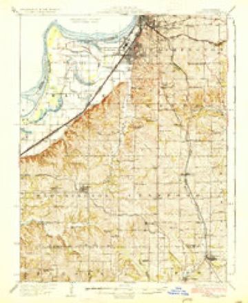
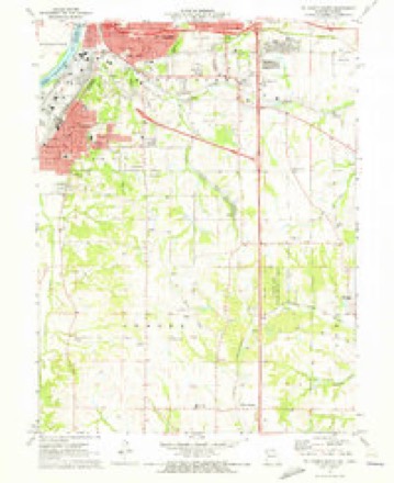
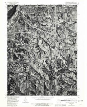
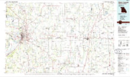
18 topographic sheets cover this place, the earliest surveyed in 1927 and the latest in 1986. It stands in Center Township. It lies in ZIP code area 64507. The Survey maps it on the Saint Joseph South quadrangle.
Topographic sheets covering this place
8 surveys from 18 printed sheetsMatched by testing this settlement's coordinate against the published boundary of every sheet in the United States Geological Survey's historical collection. Each opens the scanned sheet at the Survey.
- 1927 USGS Dearborn quadrangle1:62500, 3 printings
- 1950 USGS Kansas City quadrangle1:250000
- 1954 USGS Kansas City quadrangle1:250000
- 1956 USGS Kansas City quadrangle1:250000, 4 printings
- 1960 USGS Kansas City quadrangle1:250000, 3 printings
- 1971 USGS St. Joseph South quadrangle1:24000, 3 printings
- 1980 USGS St. Joseph South quadrangle1:24000
- 1986 USGS Saint Joseph quadrangle1:100000, 2 printings




In the county-history sources
9,459 words on this townshipThe History of Buchanan County, Missouri : Containing a History of the County, Its Cities, Towns, Etc., Biographical Sketches of Its Citizens, Buchanan County in the Late War, General and Local Statisics, Portraits of Early Settlers and Prominent Men, History of Missouri, Map of Buchanan County, Etc., Etc, published 1881 names this settlement in its chapter on Center Township. These are the passages that mention it, exactly as the scans read.
Teceived his education. He there became personally acquainted with Abraham Lincoln, Stephen A. Douglas, Governor Yates, General Logan and other noted men of that State. He emigrated West in the fall of 1841 and landed in this county September 10. Being a young man, he traveled around over the country and mustered regularly at Sparta. He finally married and settled down, commencing farming. He owns a fine farm of eighty acres, which is well watered and contains a good orchard. He has never been an office seeker, but has always given his attention to his legitimate business. He was married March 25, 184S, to Miss Julia A. Barges, a native of Kentucky, born in 1821. She died May 24, 1880, leaving four childreii, Jane B. (now Mrs. C. W. Harris), John S., Elizabeth, and James G. They lost one. Mr. W. has been a member of the Ciamberland Presbyterian Church since 1844, and held the position of elder until his age prevented his attending to the office any longer. He is also a member of the Masonic fraternity. The eldest son, John S., was born September 18, 1848, in this county, and has been raised here as a farmer, and is also a member of the Masonic fraternity. He resides with his father.
was born in Mason County, Kentucky, June 3, 1797- He removed from the place of his birth to Hardin County, Kentucky, where he remained for several years and then enlisted in the war of 1812. He for a time kept a hotel at May's Lick and then engaged in farming in Fayette County. He engaged extensively in the manufacture of hemp in Lexington,. Kentucky, operating a large factory which was destroyed by fire and absorbed all his available means, but with the energy characteristic of the man he set out for the west to retrieve his losses, and on the nth of March, 1839, he came to Buchanan County and settled on the farm which for twenty-six years was his home. He engaged in the raising of hemp and the raaimfacture of rope and was the first in the Platte Purchase tO' engage in this industry and one great inducement in doing it was that the product of summer's labor could be utilized by labor of winter, thusproving him a good political economist. This business proved very remunerative and was the basis of the large estate he left at his death which occurred December 30, 1864. He was a man of large frame, a strong mind, a powerful will, untiring energy and industry, as an evidence of which he had acquired as a farmer in a legitimate attention tO' that branch of industry a large estate. He was a man whose standard, of morality was very high and in the daily affairs of life attended strictly to his own affairs, giving to every man his due as punctually as he exacted from others. His theories were few and practical. He waseminently a utilitarian and was slow to believe in innovations on good old law and customs. In every sense of the word he was a patriot and a lover of his country. He had great respect for the laws of the land.
farmer and stock raiser, section 35, postoffice Willow Brook, was bom December 22, 1817, in Orange County, Indiana, and was reared there on. a farm and attended school. He learned the carpenter trade in hisyouth and has followed it considerably through life. He moved to- Illinois in the fall of 1836, resided there three years and returned to- Indiana, remaining until the spring of 1842, when he emigrated WesL and settled in Buchanan County, Missouri. He was rather young, and traveled around the country for some years assisting in clearing up farms and improving the county. During the late war he enlisted in the- Enrolled Mission Militia! and served for six months. Mr. M. has filled his present office of school director several terms,, and that of roadoverseer for a number of years. He was married in December, 1845^ to Miss Margaret Mathers, a native of Belmont County, Ohio. They have four children living: Mary E.., now Mrs. Andrew Isaacson; Sarah. F., now Mrs. Joseph Culbertson ;, John F., and Rosy M. Lost one. Hislanded estate consists of 134 acres of well improved land. Mr.. Miiler is a member of the Presbyterian Church, farmer and stock raiser, section 10, postoffice St. Joseph, was born- December 3, 1823, in Green County, Kentucky, aind lived there until sixteen years of age. He was brought up on a farm, received a common school education, and came West with his parents, in the spring of 1838, by the overland route, and arrived in this county on the 8th of June. The country then was very thinly settled, and the Indian wigwams were the only evidence left of the race that once inhabited this vicinity. Discouragements beset the new comers on every hand, and it was no uncommon occurrence for whole families to be sick at once. During the late war Mr. M. served two months in the Enrolled Missouri Militia. He has filled the position of school director and road supervisor several terms. His landed estate consists of 310 acres, 243 of which he cultivates. His farm is well improved. He assisted in building the first court house in Sparta, and has also lent a hand -in erecting other county buildings, besides the First Baptist Church of St. Joseph. He was married to Miss Julia A. White, a native Madison County, Kentucky. She was born February 2, 1829. They have one child, Martha J., now Mrs. H. C. Register, of St. Joseph. Mr. and Mrs. M. are members of the Missionary Baptist Church.
Machine-read from a century-old scan, so expect the errors a machine makes: misspelled names, dropped words, stray characters.
Read the whole chapter on Center Township - it names this place 1 more 1 time.
Fires near this place
27 since 1999Regional context, not property-specific evidence. The federal wildfire occurrence database lists 27 fires within 5 miles of Sparta between 1999 and 2020, burning about 233 acres in total. None started naturally. 4 were recorded as arson. Distance is straight-line from the map coordinates, so a fire counted here may appear on a neighbouring settlement's page as well.
| Reported cause | Fires |
|---|---|
| Missing data/not specified/undetermined | 13 |
| Debris and open burning | 6 |
| Arson/incendiarism | 4 |
| Smoking | 4 |
The most recent of them, most recent first, with the day each was reported and the service that recorded it.
| Date | Cause | Size | Reported by | Name on the report |
|---|---|---|---|---|
| 12 August 1999 | Smoking | 1.0 acres | Missouri Department of Conservation | not named |
| 12 August 1999 | Debris and open burning | 55 acres | Missouri Department of Conservation | not named |
| 24 July 2018 | Missing data/not specified/undetermined | under an acre | Missouri Department of Conservation | 177407-01180-07242018-2100 |
| 10 June 2019 | Debris and open burning | 1.5 acres | Missouri Department of Conservation | 189940-01180-06102019-1825 |
| 4 March 2020 | Missing data/not specified/undetermined | 14 acres | Missouri Department of Conservation | 190308-01180-03042020-1825 |
| 31 March 2018 | Missing data/not specified/undetermined | under an acre | Missouri Department of Conservation | 176391-01111-03312018-1311 |
| 15 March 2018 | Arson/incendiarism | 3.2 acres | Missouri Department of Conservation | 176117-01180-03152018-1613 |
| 14 March 2018 | Arson/incendiarism | 2.1 acres | Missouri Department of Conservation | 176118-01180-03142018-1336 |
Settlements close enough to share some of these fires:
Mines and quarries near this place
10 of 17 shownRegional context, not property-specific evidence. The federal mineral resources record lists 17 workings within 5 miles of Sparta: 16 past producers, 1 producer. 1 still produces. What was taken out: Stone, Crushed/Broken, Sand and Gravel, Construction. Distance is straight-line from the map coordinates, so a quarry counted here may appear on a neighbouring settlement's page as well.
| Where | Site | Commodity | Status | Recorded |
|---|---|---|---|---|
| Unknown | Sand and Gravel, Construction | Past Producer | ||
| Fanning Quarry | Stone, Crushed/Broken | Producer | ||
| Franks Quarry | Stone, Crushed/Broken | Past Producer | ||
| South St Joe Quarry | Stone, Crushed/Broken | Past Producer | ||
| Spencer #1 Quarry | Stone, Crushed/Broken | Past Producer | ||
| Spencer #2 Quarry | Stone, Crushed/Broken | Past Producer | ||
| Unknown | Stone, Crushed/Broken | Past Producer | ||
| Unknown | Stone, Crushed/Broken | Past Producer | ||
| Unknown | Stone, Crushed/Broken | Past Producer | ||
| Unknown | Stone, Crushed/Broken | Past Producer |
Nearest settlements
The eight closest, with where each one stands in the county. Distances are straight-line, computed from the Geographic Names Information System coordinates.
| Map | Place | Distance | Sheets |
|---|---|---|---|
| Richie | 1.3 miles | 18 | |
| Pinkston | 1.5 miles | 18 | |
| Maxey | 1.6 miles | 18 | |
| Willow Brook | 2.3 miles | 18 | |
| Kyle | 2.5 miles | 18 | |
| Matney | 3.4 miles | 18 | |
| Faucett | 3.9 miles | 18 | |
| Lake Station | 4.6 miles | 18 |
Elsewhere
Matched on this settlement's Geographic Names Information System number rather than its name, so it cannot be a different place of the same name in another state.
| Wikipedia article on Sparta | An encyclopaedic summary. Its text is share-alike, so it is linked here rather than copied. |
| Wikidata item Q27984058 | The structured record the population and elevation above come from. Public domain (CC0). |
Provenance
This settlement is recorded in the Geographic Names Information System as feature 740217. The sheet list is computed by point-in-boundary test against the United States Geological Survey's historical topographic inventory. Both are works of the United States government and carry no copyright under 17 U.S.C. 105.
Wildfire. Short, Karen C. 2022. Spatial wildfire occurrence data for the United States, 1992-2020 [FPA_FOD_20221014]. 6th Edition. Fort Collins, CO: Forest Service Research Data Archive. https://doi.org/10.2737/RDS-2013-0009.6 Collected with United States Government funding and usable without additional permissions or fees.
Mines and quarries. USGS Mineral Resources Data System (MRDS) https://mrdata.usgs.gov/mrds/ A work of the United States government, no copyright under 17 U.S.C. 105.