 Block
Hinton, Missouri
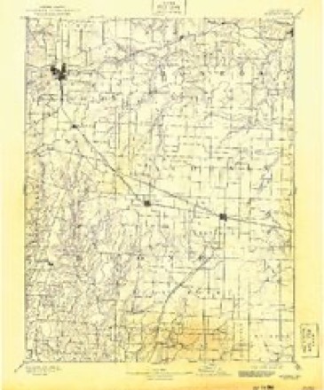
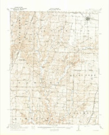
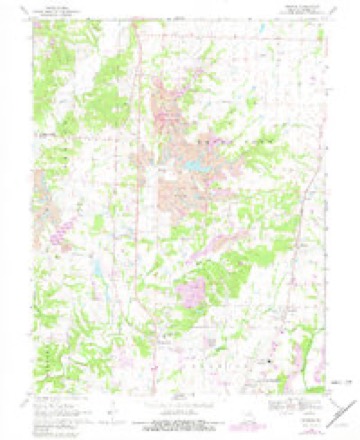
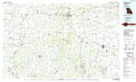
19 topographic sheets cover this place, the earliest surveyed in 1890 and the latest in 1985. It stands in Perche Township. It lies in ZIP code area 65202. It stands on Clays Fork. The Survey maps it on the Browns quadrangle.
Topographic sheets covering this place
8 surveys from 19 printed sheetsMatched by testing this settlement's coordinate against the published boundary of every sheet in the United States Geological Survey's historical collection. Each opens the scanned sheet at the Survey.
- 1890 USGS Moberly quadrangle1:125000, 6 printings
- 1917 USGS Sturgeon quadrangle1:62500, 3 printings
- 1953 USGS Moberly quadrangle1:250000
- 1954 USGS Moberly quadrangle1:250000, 3 printings
- 1957 USGS Moberly quadrangle1:250000
- 1960 USGS Moberly quadrangle1:250000
- 1969 USGS Browns quadrangle1:24000, 2 printings
- 1985 USGS Moberly quadrangle1:100000, 2 printings




What happened here
An account from the chapter on Perche township. The inset identifies its exact source book and publication year.
Killing Of Mr. Drake
^ About the Ist of September, 1864, a man uatned Drake, who had recently come into the township from Sullivan county, was shot from the bush as he was passing along the road. Eight buckshot entered hfs body. The bushwhackers who did the deed gave information at a house near by that the dead body might be cared for.
In the county-history sources
16,001 words on this townshipHistory of Boone County, Missouri, published 1882 names this settlement in its chapter on Perche Township. These are the passages that mention it, exactly as the scans read.
The subject of this sketch was born in Boone county, Missouri, June 5th, 1835. He is the son of Caleb Fenton, a native of Kentucky, who came to Boone county at an early period of its history. His father ivas also named Caleb. William was educated at the common schools of the county. The first teacher, of any consequence, was Kobert A. Younger, under whose instructions he made rapid progress. He was married in 1856 to Miss Lucinda, daughter of Buford Stice, of Boone oounty, a native of Kentucky. By this union they had five children: Ada, who married Washington Mordica ; James T. married Miss Cora Phillippie; Andrew B. ; William E. ; Annie, married William Pollock. The first wife dying, Mr. Fenton married Miss Belle, daughter of John I. Pollock. Bythis union they have two sons, Hinton and Turner G., namesakes of Judge Hinton and Hon. Squire Turner, of Columbia, Missouri. Mr. Fenton is a member of the Masonic order. He purchased the farm upon which he now lives of Allen Coats. It was settled i^ 1819 ; it is situated on Silver's Fork, of the Perche, and is very productive. Notwithstanding the severe drought of 1881, which rendered the corn crop almost a failure, Mr. Fenton produced more of this cereal than he could consume.
Passage source: History of Boone County, Missouri, published 1882.
Machine-read from a century-old scan, so expect the errors a machine makes: misspelled names, dropped words, stray characters.
Mines and quarries near this place
5 within 5 milesRegional context, not property-specific evidence. The federal mineral resources record lists 5 workings within 5 miles of Hinton: 5 past producers. None of them still produces. What was taken out: Stone, Crushed/Broken, Iron, Fire Clay (Refractory). Distance is straight-line from the map coordinates, so a quarry counted here may appear on a neighbouring settlement's page as well.
| Where | Site | Commodity | Status | Recorded |
|---|---|---|---|---|
| Unknown - Clay | Fire Clay (Refractory) | Past Producer | ||
| Unknown - Iron | Iron | Past Producer | ||
| Unknown - Ls. | Stone, Crushed/Broken | Past Producer | ||
| Unknown - Ls. | Stone, Crushed/Broken | Past Producer | ||
| Unknown - Ls. | Stone, Crushed/Broken | Past Producer |
Storms near this place
8 since 1996Regional context, not property-specific evidence. The National Weather Service names Hinton in 8 storm reports between 1996 and 2023: 3 hail, 2 flash flood, 2 thunderstorm wind, 1 tornado. No death or injury is recorded in these reports. Each account below is quoted exactly as the forecast office filed it, from the NOAA Storm Events Database, and each date opens the federal record of that event.
| When | Event | Place named | Harm | What the report says |
|---|---|---|---|---|
| July 2023 | Thunderstorm Wind | Hinton | - | Thunderstorm winds peeled the steel roof off of a business on Highway VV about one and a half miles north of Hinton. Further east, just north northeast of Murry, a power pole was snapped off on Route Z. |
| August 2020 | Thunderstorm Wind | Hinton | - | Thunderstorm winds uprooted several trees that were in very wet soil. |
| August 2010 | Flash Flood | Hinton | - | Between 2 and 4 inches of rain fell in a short amount of time causing flash flooding. Several roads around Columbia were closed due to flooding. A water rescue had to be performed on Vandiver Drive on the north side of town due to a vehicle being driven into the flooded roadway and becoming stranded. No injuries were reported. |
| September 2008 | Flash Flood | Hinton | - | Two and a half to three and a half inches of rain fell onto already saturated soils, causing flash flooding. Numerous roads were flooded and one water rescue was performed on Rangeline Road at David Allen Road. |
| June 2011 | Hail | Hinton | - | no account filed |
| June 2009 | Hail | Hinton | - | no account filed |
| April 1999 | Tornado (F2) | Hinton | - | no account filed |
| June 1996 | Hail | Hinton | - | no account filed |
Nearest settlements
The eight closest, with where each one stands in the county. Distances are straight-line, computed from the Geographic Names Information System coordinates.
| Map | Place | Distance | Sheets |
|---|---|---|---|
| Prathersville | 2.6 miles | 19 | |
| Persia (historical) | 3.0 miles | 19 | |
| Germantown (historical) | 3.4 miles | 19 | |
| Browns | 4.2 miles | 19 | |
| Stephens | 4.3 miles | 19 | |
| Switzler | 4.6 miles | 19 | |
| Middleton | 4.8 miles | 19 | |
| Perche (historical) | 6.0 miles | 19 |
Provenance
This settlement is recorded in the Geographic Names Information System as feature 719633. The sheet list is computed by point-in-boundary test against the United States Geological Survey's historical topographic inventory. Both are works of the United States government and carry no copyright under 17 U.S.C. 105.
Mines and quarries. USGS Mineral Resources Data System (MRDS) https://mrdata.usgs.gov/mrds/ A work of the United States government, no copyright under 17 U.S.C. 105.
Storms. NOAA National Centers for Environmental Information, Storm Events Database https://www.ncei.noaa.gov/stormevents/ A work of the United States government, no copyright under 17 U.S.C. 105. Narratives are quoted verbatim from the National Weather Service report and are not edited or summarised.