 Block
Vandalia, Missouri
17 topographic sheets cover this place, the earliest surveyed in 1890 and the latest in 1986. It stands in Cuivre Township. It lies in ZIP code area 63382. The Survey maps it on the Vandalia quadrangle. 3,553 people lived here at the 2020 count. It stands 761 feet above sea level.
On record in Vandalia
Buildings and businesses the archive holds for this place. Each opens its own page, with the source record it came from.
On the National Register 1 record
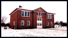 Lincoln Schoollisted 1996
Population over time
2 figuresVandalia fell from 3,899 to 3,553 between 2010 and 2020. These are the recorded population figures Wikidata holds for this place, reached through the Geographic Names Information System number this page is keyed on rather than by name, so they belong to this place and not to another of the same name. Most are census counts, but not all are: an early figure may be a founding or settlement estimate, and an estimate published within five years of a census is left out. The change column is computed, and is left blank where more than 20 years separate a figure from the one before it, because a gap that long is not a change between two counts.
| Year | People | Change |
|---|---|---|
| 2010 | 3,899 | |
| 2020 | 3,553 | -346 (-9%) |
Topographic sheets covering this place
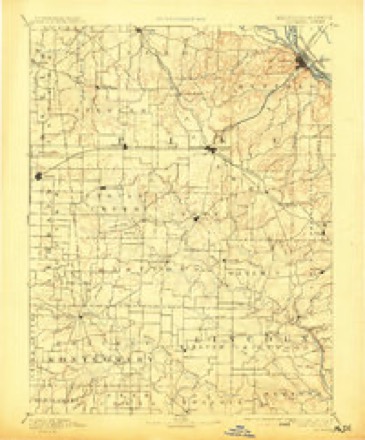
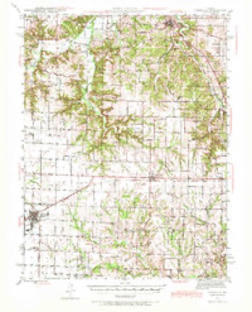
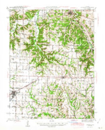
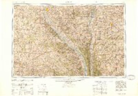
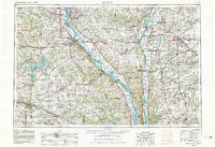
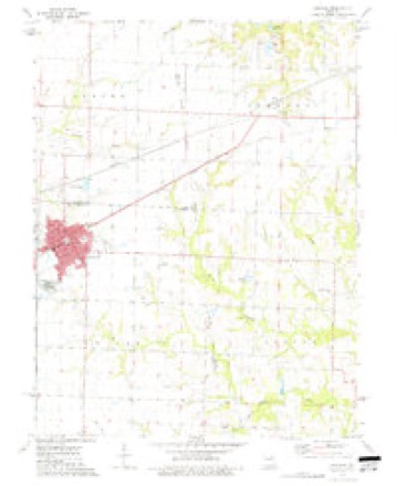
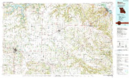
7 surveys from 17 printed sheetsMatched by testing this settlement's coordinate against the published boundary of every sheet in the United States Geological Survey's historical collection. Each opens the scanned sheet at the Survey.
- 1890 USGS Louisiana quadrangle1:125000, 5 printings
- 1943 USGS Vandalia quadrangle1:62500
- 1945 USGS Vandalia quadrangle1:62500, 3 printings
- 1948 USGS Quincy quadrangle1:250000, 2 printings
- 1956 USGS Quincy quadrangle1:250000, 3 printings
- 1973 USGS Vandalia quadrangle1:24000
- 1986 USGS Mexico quadrangle1:100000, 2 printings
In the county-history sources
2,779 words on this townshipHistory of Audrain County, Missouri : Written and Compiled from the Most Authentic Official and Private Sources, Including a History of Its Townships, Towns and Villages; Together with ... Biographical Sketches of Prominent Citizens .., published 1884 names this settlement in its chapter on Cuivre Township. These are the passages that mention it, exactly as the scans read.
Twenty-three miles east of Mexico, and 27 miles west of Louisiana and the Mississippi river, on the Chicago and Alton Railway, is Vandalia, a town of 800 souls, and the most important trading and ship¬ ping point between the cities named. It is 30 miles distant from
Passage source: History of Audrain County, Missouri : Written and Compiled from the Most Authentic Official and Private Sources, Including a History of Its Townships, Towns and Villages; Together with ... Biographical Sketches of Prominent Citizens .., published 1884.
Hannibal, on the north, the same distance from Montgomery City on the south, and has in all directions a splendid farming country, rich in grasses, grain fields, herds and farm improvements; and abundantly capable of giving impulse to a city of 4,000 people. The town was laid out in 1870 by Aaron McPike, Judge Caldwell, Amos Ladd and Col. Haden, is substantially and tastefully built and besides a fortu¬ nate location, has two newspapers, three pretty churches, a substan¬ tial and attractive school building, a steam flouring mill and two steam grain elevators, an encampment and lodge of Odd Fellows, a Masonic lodge, and flourishing organizations of the A. O. U. W. and Good Templars. Vandalia is a strong commercial town, the trade in general merchandise, lumber, hardware and farming machinery being very heavy for a town of this class. From 300,000 to 400,000 bushels of grain are annually shipped by the Alton road from this point, the yearly export of live stock closely approximating 275 car loads, and it is probably within the bounds to estimate the total yearly trade of the city, in all lines, at $600,000. Vandalia enjoys a high measure of prosperity in all departments. The municipality is out of debt, with a surplus in the treasury. The merchants are generally substantial men of prime ability and credit, carry large stocks, discount their bills of credit and do business by the best modern methods. The trade of the town is annually increasing by about 25 per cent, and everything about the city indicates solid and permanent thrift.
Passage source: History of Audrain County, Missouri : Written and Compiled from the Most Authentic Official and Private Sources, Including a History of Its Townships, Towns and Villages; Together with ... Biographical Sketches of Prominent Citizens .., published 1884.
There are two newspapers in Vandalia. This fact is sufficient of itself to show that the people of the town and vicinity are a reading, reflecting people, and that they believe in supporting and encourag¬ ing newspapers.
Passage source: History of Audrain County, Missouri : Written and Compiled from the Most Authentic Official and Private Sources, Including a History of Its Townships, Towns and Villages; Together with ... Biographical Sketches of Prominent Citizens .., published 1884.
Machine-read from a century-old scan, so expect the errors a machine makes: misspelled names, dropped words, stray characters.
Read the whole chapter on Cuivre Township - it names this place 6 more 6 times.
Mines and quarries near this place
7 within 5 milesRegional context, not property-specific evidence. The federal mineral resources record lists 7 workings within 5 miles of Vandalia: 5 past producers, 2 producers. 2 still produce. What was taken out: Clay. Distance is straight-line from the map coordinates, so a quarry counted here may appear on a neighbouring settlement's page as well.
| Where | Site | Commodity | Status | Recorded |
|---|---|---|---|---|
| Unk | Clay | Past Producer | ||
| Unk | Clay | Past Producer | ||
| Unk | Clay | Past Producer | ||
| Unknown - Clay | Clay | Past Producer | ||
| Vandalia Brick Plant Pit | Clay | Past Producer | ||
| Vandalia Plant | Clay | Producer | ||
| Vandalia Works | Clay | Producer |
Storms near this place
16 since 1996Regional context, not property-specific evidence. The National Weather Service names Vandalia in 16 storm reports between 1996 and 2025: 9 thunderstorm wind, 6 hail, 1 flash flood. The reports record 1 death. Each account below is quoted exactly as the forecast office filed it, from the NOAA Storm Events Database, and each date opens the federal record of that event.
| When | Event | Place named | Harm | What the report says |
|---|---|---|---|---|
| June 2024 | Thunderstorm Wind | Vandalia | 1 killed, $50,000 | One direct fatality occurred 5 miles north of Martinsburg when an old, dilapidated barn on Highway 54 collapsed on an individual seeking shelter from the thunderstorm. Large trees and tree limbs were blown down in Vandalia, Laddonia, and Mexico. Siding was also blown off a church south of Mexico Airport (MYJ), power poles were knocked down by tree limbs in Vandalia, and a roof was blown off a trailer in Laddonia. Other communities in the storm's path are Scott's Corner, Rush Hill, and Martinsburg. |
| May 1996 | Thunderstorm Wind | Vandalia | $5,000 | no account filed |
| April 2025 | Thunderstorm Wind | Vandalia | - | The Vandalia Agricultural Site measured a thunderstorm wind gust of 63 mph. |
| July 2014 | Thunderstorm Wind | Vandalia | - | Thunderstorm winds blew down numerous trees, tree limbs and power lines. Also, a shed was destroyed in town. One building in town sustained moderate roof damage. |
| July 2010 | Flash Flood | Vandalia | - | Up to three inches of rain fell in a short amount of time causing flash flooding. Numerous road were flooded including streets in Laddonia, Route J just northeast of Mexico, and Routes AA and KK near Laddonia. |
| December 2008 | Thunderstorm Wind | Vandalia | - | Thunderstorm winds caused widespread damage in Vandalia. Several windows were blown out around town. A large sign for a store was blown over and part of its roof was blown off. Another business had minor roof damage and a home had some siding damage. A local manufacturing plant had two 12 foot by 14 foot doors damaged and a 15 foot by 20 foot section of the metal wall blown away. |
| May 2004 | Thunderstorm Wind | Vandalia | - | Storm spotters reported some trees down. |
| December 2002 | Hail | Vandalia | - | The Police Department reported 3/4 inch hail. |
| April 2001 | Hail | Vandalia | - | The Vandalia Police reported 1 inch hail. |
| March 2000 | Thunderstorm Wind | Vandalia | - | Thunderstorm wind gusts downed some trees and damaged a few outbuildings. |
| August 2000 | Thunderstorm Wind | Vandalia | - | Amateur radio spotters reported trees and power lines downed by near 70 mph wind gusts. |
| May 2000 | Thunderstorm Wind | Vandalia | - | Local law enforcement reported some trees and power lines down in Vandalia. |
| June 2015 | Hail | Vandalia | - | no account filed |
| April 2011 | Hail | Vandalia | - | no account filed |
| March 2006 | Hail | Vandalia | - | no account filed |
| June 2005 | Hail | Vandalia | - | no account filed |
Nearest settlements
The eight closest, with where each one stands in the county. Distances are straight-line, computed from the Geographic Names Information System coordinates.
| Map | Place | Distance | Sheets |
|---|---|---|---|
| Farber | 5.3 miles | 16 | |
| Bassinger Corner | 8.5 miles | 16 | |
| Rices Corner | 8.6 miles | 16 | |
| Laddonia | 9.6 miles | 15 | |
| Hickory Creek (historical) | 9.8 miles | 16 | |
| Culiver | 10.6 miles | 16 | |
| Scotts Corner | 13.3 miles | 15 | |
| Rush Hill | 14.2 miles | 15 |
Elsewhere
Matched on this settlement's Geographic Names Information System number rather than its name, so it cannot be a different place of the same name in another state.
| Wikipedia article on Vandalia | An encyclopaedic summary. Its text is share-alike, so it is linked here rather than copied. |
| Wikidata item Q960362 | The structured record the population and elevation above come from. Public domain (CC0). |
Provenance
This settlement is recorded in the Geographic Names Information System as feature 728133. The sheet list is computed by point-in-boundary test against the United States Geological Survey's historical topographic inventory. Both are works of the United States government and carry no copyright under 17 U.S.C. 105.
Mines and quarries. USGS Mineral Resources Data System (MRDS) https://mrdata.usgs.gov/mrds/ A work of the United States government, no copyright under 17 U.S.C. 105.
Storms. NOAA National Centers for Environmental Information, Storm Events Database https://www.ncei.noaa.gov/stormevents/ A work of the United States government, no copyright under 17 U.S.C. 105. Narratives are quoted verbatim from the National Weather Service report and are not edited or summarised.