 Block
White Oak, Missouri
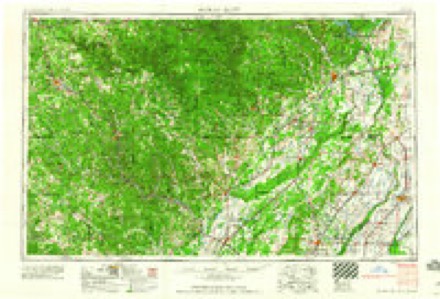
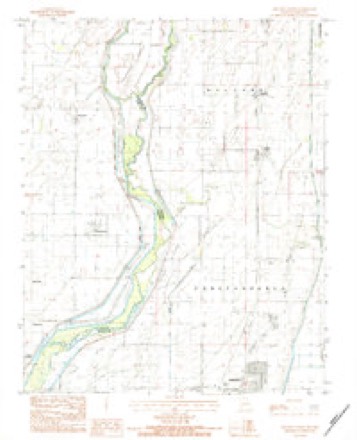
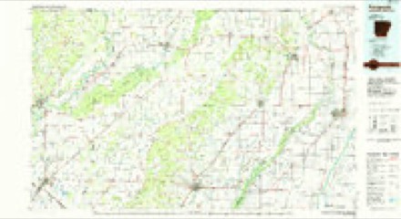
11 topographic sheets cover this place, the earliest surveyed in 1940 and the latest in 1984. It stands in Holcomb Township. It lies in ZIP code area 63880. The Survey maps it on the Kennett North quadrangle.
Topographic sheets covering this place
7 surveys from 11 printed sheetsMatched by testing this settlement's coordinate against the published boundary of every sheet in the United States Geological Survey's historical collection. Each opens the scanned sheet at the Survey.
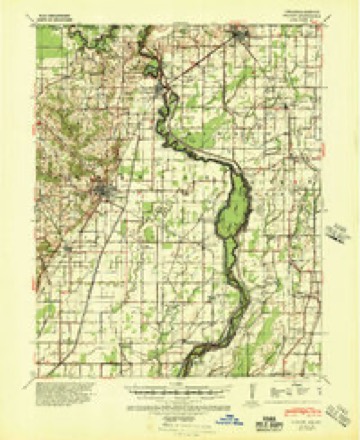
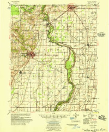
- 1940 USGS Piggott quadrangle1:62500
- 1956 USGS Piggott quadrangle1:62500, 2 printings
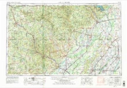
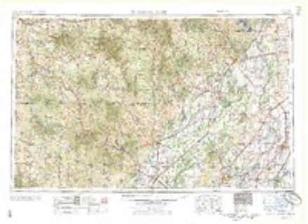
- 1957 USGS Poplar Bluff quadrangle1:250000, 3 printings
- 1959 USGS Poplar Bluff quadrangle1:250000
- 1960 USGS Poplar Bluff quadrangle1:250000
- 1983 USGS Kennett North quadrangle1:24000
- 1984 USGS Paragould quadrangle1:100000, 2 printings
Storms near this place
6 since 2000Regional context, not property-specific evidence. The National Weather Service names White Oak in 6 storm reports between 2000 and 2025: 4 thunderstorm wind, 1 hail, 1 flash flood. No death or injury is recorded in these reports. Each account below is quoted exactly as the forecast office filed it, from the NOAA Storm Events Database, and each date opens the federal record of that event.
| When | Event | Place named | Harm | What the report says |
|---|---|---|---|---|
| January 2000 | Thunderstorm Wind | White Oak | $25,000 | Some grain tanks and small buildings were blown down. Several shingles were blown off some roofs. Trees and power lines were also knocked down. |
| January 2002 | Thunderstorm Wind | White Oak | $10,000 | A cotton trailer was knocked over. Part of a cotton gin was damaged. |
| April 2025 | Flash Flood | White Oak | $3,000 | A few homes were flooded in Kennett, along Hwy 25. |
| September 2001 | Thunderstorm Wind | White Oak | $1,000 | A few large tree limbs were blown down. |
| May 2002 | Hail | White Oak | $10 | no account filed |
| May 2009 | Thunderstorm Wind | White Oak | - | Winds were estimated at 60 mph in White Oak. |
Nearest settlements
The eight closest, with where each one stands in the county. Distances are straight-line, computed from the Geographic Names Information System coordinates.
Provenance
This settlement is recorded in the Geographic Names Information System as feature 728737. The sheet list is computed by point-in-boundary test against the United States Geological Survey's historical topographic inventory. Both are works of the United States government and carry no copyright under 17 U.S.C. 105.
Storms. NOAA National Centers for Environmental Information, Storm Events Database https://www.ncei.noaa.gov/stormevents/ A work of the United States government, no copyright under 17 U.S.C. 105. Narratives are quoted verbatim from the National Weather Service report and are not edited or summarised.