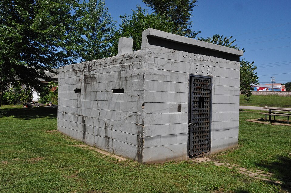
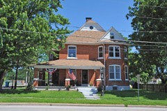
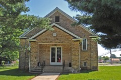
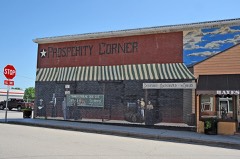
Listed on the National Register of Historic Places in 2014.
From the record
“Cuba City Jail is a historic jail located at Cuba, Crawford County, Missouri. It was built in 1908, and is a one-story, rectangular-shaped, concrete block jail structure.”
Wikipedia article Cuba City Jail, CC BY-SA 4.0.
One of 14 National Register listings published here for Crawford County · listed in 2014 · category: Building.
National Register reference number. 14000880 - assigned by the National Park Service when the property was listed.
Fires near this property
66 since 1992
Regional context, not property-specific
evidence. The
federal wildfire occurrence database
lists 66 fires within 5 miles of Cuba City Jail
between 1992 and 2019, burning about 360 acres in total. None started naturally. 4 were recorded as arson.
Distance is straight-line from the map coordinates, so a fire counted
here may appear on a neighbouring settlement's page as well.
Reported cause
Fires
Debris and open burning
41
Missing data/not specified/undetermined
18
Arson/incendiarism
4
Equipment and vehicle use
2
Recreation and ceremony
1
The most recent of
them, most recent first, with the day each was reported and the service
that recorded it.
Regional context, not property-specific
evidence. The federal mineral resources record lists
43 workings within 5 miles of Cuba City Jail: 42 past producers, 1 producer.
1 still produces. What was taken out: Clay, Iron, Stone, Crushed/Broken, Sulfur-Pyrite. Distance is straight-line from the
map coordinates, so a quarry counted here may appear on a neighbouring
settlement's page as well.
Regional context, not property-specific
evidence. The National Weather Service names
Cuba, the town this property stands in, in 71 storm reports between 1994 and 2025: 34 thunderstorm wind, 34 hail, 1 tornado, 1 flash flood.
The reports record 1 death and 2 injuries. Each account below is quoted exactly as the forecast office
filed it, from the NOAA Storm Events Database, and each date
opens the federal record of that event.
A microburst caused extensive damage in Cuba. The damage area started less than a quarter of a mile southwest of the intersection of Interstate 44 and Highway 19. In this location, several medium sized trees and large tree limbs fell to the southwest and west. A little further to the south numerous large tree limbs and a few large trees were blown down along and west of Oak Hill Avenue and south of Grove Street. Additional large tree branches and a few large trees fell on Florence Street between Forest Street and Oak Hill Avenue. Most of the branches fell to the south and southwest showing a divergent wind damage pattern. More tree and large limb damage occurred just northeast of the intersection of School Avenue and Forest Street near the grounds of Holy Cross Catholic Church. Another microburst occurred at the intersection of West Washington and North Smith Street. A grocery store lost much of its roof and was displaced into the parking lot south of the store. A fatality occurred in the parking lot where debris from the roof shattered the front window of a car killing the 28 year old woman who was in the vehicle at the time. A person in a nearby car sustained minor injuries from the flying debris as well. Additional minor roof damage occurred at the Cuba post office where some of the roofing material was peeled off. The length of the microburst damage path was approximately three quarters of a mile and about a third of a mile wide. Based on the tree and structural damage, winds associated with the microbursts were estimated between 65 and 75 mph.
A reported 4 inches of rain in about an hour caused flash flooding in Cuba. The Sheriff Department reported the Highway 19 railroad underpass had at least 2 feet of water in it and had to be closed. Another area that flooded had 2 propane tanks break loose and float away. The heavy rain caused problems at the County Fair that had started the day before. The entire evenings planned events had to be cancelled. The roof of the main stage collapsed due to the rain. One man was injured with a broken arm when the roof collapsed.
Several power poles, lines, and trees were blown down. A few windows were also blown out in Cuba. Reported by the Cuba Police Department and county sheriff deputies.
Several power poles, lines, and trees were blown down. A few windows were also blown out in Cuba. Reported by the Cuba Police Department and county sheriff deputies.
Thunderstorm winds downed a powerline on the south side of Cuba. To the southwest, thunderstorm winds damaged and uprooted numerous large trees in Davisville.
Power lines and poles were blown down in the Cuba area. Several minutes later the county sheriff's department reported several large trees and power lines down in Steeleville. One roof was also heavily damaged.
Thunderstorm winds either uprooted or blew down several trees in Cuba as well as numerous tree limbs. One tree was two feet in diameter. In Leasburg, the winds damaged a fence and tore some vinyl siding off of a structure.
Wind equipment at the Cuba EOC recorded a 58 mph wind gust as a line of severe storms moved through town. Also, a small shed was blown into a street and numerous small tree limbs were blown down around town.
Thunderstorm winds blew a large tree onto a church in Cuba causing moderate roof and guttering damage. Numerous tree limbs were blown down around town as well. One mile south southwest of Steelville, a tree was blown down and it blocked Keysville Street.
Thunderstorm winds blew a section of tin roof off of the public works building on Highway PP on the southeast side of town. The building sustained some water damage after the roof was blown off.
The Missouri Highway Patrol reported wind gusts to 60 mph at Cuba. Several minutes later the county sheriff reported high wind gusts in Steelville as well.
No historic map-sheet match is published
for this property yet. That does not mean no map exists. This record needs
a coordinate-quality review before it can be joined to a sheet boundary.
Browse the county's mapped places while that work is
pending.
Listed places nearby
6 within 8 miles
Other National Register properties close
enough to walk or drive between, ordered by distance from this one. Both
positions come from the same geocoding pass that matched these properties
to their map sheets.
Listing record. National Park Service National Register of Historic Places, listed-properties dataset, current to 2026-05-22.
Map join. Address geocoded through the United States Census geocoder, then tested against the published boundary of every sheet in the USGS Historical Topographic Map Collection.
How this page is made. Listing fields come from federal records; map-sheet coverage is a labelled coordinate-to-boundary calculation, not a source-field claim.
Wildfire. Short, Karen C. 2022. Spatial wildfire occurrence data for the United States, 1992-2020 [FPA_FOD_20221014]. 6th Edition. Fort Collins, CO: Forest Service Research Data Archive. https://doi.org/10.2737/RDS-2013-0009.6 Collected with United States Government funding and usable without additional permissions or fees.
Mines and quarries. USGS Mineral Resources Data System (MRDS) https://mrdata.usgs.gov/mrds/ A work of the United States government, no copyright under 17 U.S.C. 105.
Storms. NOAA National Centers for Environmental Information, Storm Events Database https://www.ncei.noaa.gov/stormevents/ A work of the United States government, no copyright under 17 U.S.C. 105. Narratives are quoted verbatim from the National Weather Service report and are not edited or summarised.
 Block