 Block
Creston, Montana
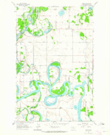
12 topographic sheets cover this place, the earliest surveyed in 1943 and the latest in 1994. It stands in the Creston-Bigfork census division. It lies in ZIP code area 59901. The Survey maps it on the Creston quadrangle.
Topographic sheets covering this place
8 surveys from 12 printed sheetsMatched by testing this settlement's coordinate against the published boundary of every sheet in the United States Geological Survey's historical collection. Each opens the scanned sheet at the Survey.
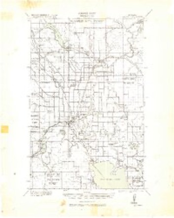
- 1943 USGS Kalispell quadrangle1:125000
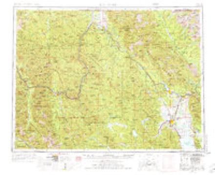
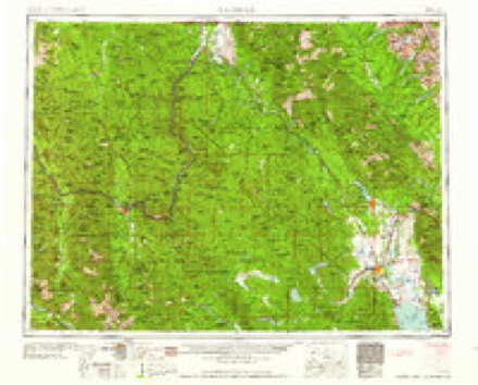
- 1957 USGS Kalispell quadrangle1:250000, 3 printings
- 1960 USGS Kalispell quadrangle1:250000
- 1961 USGS Kalispell quadrangle1:250000
- 1962 USGS Creston quadrangle1:24000, 3 printings
- 1981 USGS Kalispell quadrangle1:100000
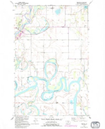
- 1991 USGS Creston quadrangle1:24000
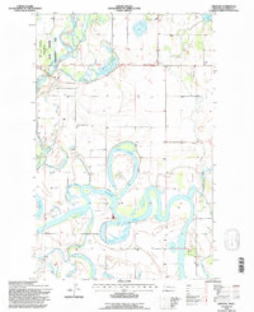
- 1994 USGS Creston quadrangle1:24000
Fires near this place
96 since 1992Regional context, not property-specific evidence. The federal wildfire occurrence database lists 96 fires within 5 miles of Creston between 1992 and 2020, burning about 89 acres in total. 5 started naturally. None was recorded as arson. Distance is straight-line from the map coordinates, so a fire counted here may appear on a neighbouring settlement's page as well.
| Reported cause | Fires |
|---|---|
| Missing data/not specified/undetermined | 46 |
| Debris and open burning | 34 |
| Natural | 5 |
| Equipment and vehicle use | 4 |
| Recreation and ceremony | 3 |
| Misuse of fire by a minor | 2 |
| Smoking | 1 |
| Power generation/transmission/distribution | 1 |
The most recent of them, most recent first, with the day each was reported and the service that recorded it.
| Date | Cause | Size | Reported by | Name on the report |
|---|---|---|---|---|
| 9 September 2019 | Missing data/not specified/undetermined | under an acre | Flathead County | 895 EGAN SLOUGH KALISPELL |
| 5 September 1998 | Equipment and vehicle use | under an acre | Northwestern Land Office | YEOMAN HALL |
| 4 September 1995 | Debris and open burning | under an acre | Northwestern Land Office | MOUNTAIN BROOK |
| 3 September 2020 | Missing data/not specified/undetermined | under an acre | Flathead County | LOC STEEL BRIDGE ROAD |
| 17 September 1994 | Missing data/not specified/undetermined | under an acre | Northwestern Land Office | LIAHONA LANE |
| 14 September 2012 | Missing data/not specified/undetermined | 1.0 acres | Northwestern Land Office | HIGHWAY 206 |
| 13 September 2002 | Equipment and vehicle use | 3.0 acres | Northwestern Land Office | not named |
| 9 August 2000 | Missing data/not specified/undetermined | under an acre | Northwestern Land Office | not named |
Settlements close enough to share some of these fires:
Storms near this place
12 since 1997Regional context, not property-specific evidence. The National Weather Service names Creston in 12 storm reports between 1997 and 2013: 9 hail, 2 thunderstorm wind, 1 funnel cloud. No death or injury is recorded in these reports. Each account below is quoted exactly as the forecast office filed it, from the NOAA Storm Events Database, and each date opens the federal record of that event.
| When | Event | Place named | Harm | What the report says |
|---|---|---|---|---|
| July 2013 | Hail | Creston | $5,000 | A right-moving supercell developed just southeast of Kila and tracked north and east across the Creston area. At least two different people from the Many Lakes residential area reported jagged edged-hail to the estimated size of golf balls. One person said the hail looked like it had marble sized pieces frozen together. Multiple homeowners reported hail damage to their vehicles. |
| July 2009 | Hail | Creston | $5,000 | Residents in the Quail Ridge subdivision, just south of Lake Blaine Road, endured hail as large as golf balls raining down for up to half an hour, along with very strong winds. Awnings on homes were dented, gardens were flattened, windows broken and basements were flooded from heavy rainfall up to 1 inch with in 30 minutes. |
| June 2011 | Hail | Creston | $4,500 | A trained spotter estimated 1.25 inch diameter hail. The spotter also reported some shingle damage along with dents in a copper roof. |
| August 2013 | Thunderstorm Wind | Creston | $3,000 | A member of the public measured strong gusty winds that pushed over three large Ponderosa Pine trees and power outages. A tree fell onto a transmission line that impacted two power substations causing power outages for the Many Lakes and Echo Lake area. |
| July 2013 | Hail | Creston | $500 | A right-moving supercell developed just southeast of Kila and tracked north and east across the Creston area. A farmer reported hail accumulation between 6 and 8 inches that dented vehicle hoods and damaged barley, spring wheat and canola crops. The half inch hail was estimated. |
| July 2013 | Hail | Creston | - | A right-moving supercell developed just southeast of Kila and tracked north and east across the Creston area. A local resident measured up to one inch hail in diameter that covered the ground to three inches deep. |
| June 2012 | Hail | Creston | - | A spotter four miles southeast of Creston estimated hail 1 inch in diameter, with hail 1 to 2 inches deep covering the ground. |
| July 2011 | Funnel Cloud | Creston | - | The public reported a cold air funnel cloud near Creston. In addition they received 0.45 inch of rain in 23 minutes along with some hail. |
| August 1999 | Thunderstorm Wind | Creston | - | no account filed |
| August 1999 | Hail | Creston | - | no account filed |
| August 1997 | Hail | Creston | - | no account filed |
| September 1997 | Hail | Creston | - | no account filed |
Nearest settlements
The eight closest, with where each one stands in the county. Distances are straight-line, computed from the Geographic Names Information System coordinates.
| Map | Place | Distance | Sheets |
|---|---|---|---|
| Jessup | 1.6 miles | 12 | |
| Demersville (historical) | 7.2 miles | 11 | |
| Holt | 7.5 miles | 12 | |
| Evergreen | 7.8 miles | 11 | |
| Negro Prairie (historical) | 7.9 miles | 12 | |
| Forest Hill Village | 8.1 miles | 11 | |
| Mar-Le Villa | 8.2 miles | 11 | |
| Ridgewood Terrace | 8.2 miles | 11 |
Provenance
This settlement is recorded in the Geographic Names Information System as feature 781889. The sheet list is computed by point-in-boundary test against the United States Geological Survey's historical topographic inventory. Both are works of the United States government and carry no copyright under 17 U.S.C. 105.
Wildfire. Short, Karen C. 2022. Spatial wildfire occurrence data for the United States, 1992-2020 [FPA_FOD_20221014]. 6th Edition. Fort Collins, CO: Forest Service Research Data Archive. https://doi.org/10.2737/RDS-2013-0009.6 Collected with United States Government funding and usable without additional permissions or fees.
Storms. NOAA National Centers for Environmental Information, Storm Events Database https://www.ncei.noaa.gov/stormevents/ A work of the United States government, no copyright under 17 U.S.C. 105. Narratives are quoted verbatim from the National Weather Service report and are not edited or summarised.