Block
From the record
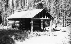
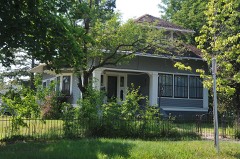
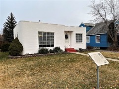
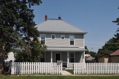
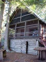
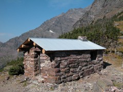
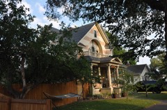
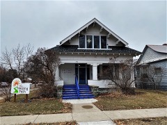
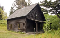
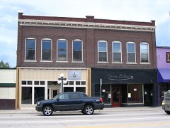
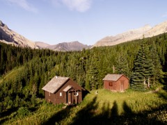
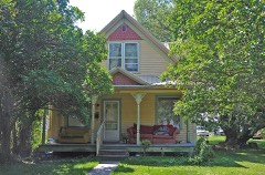
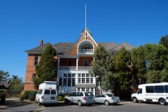
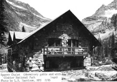
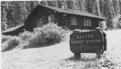
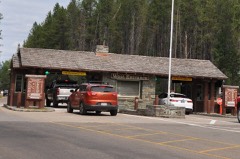
168 National Register listings published here, 5 of them National Historic Landmarks.
Sources: the National Register database, National Park Service
201 topographic sheets cover 76 settlements here, and 168 properties are on the National Register of Historic Places.
168 National Register listings published here, 5 of them National Historic Landmarks.
Sources: the National Register database, National Park Service
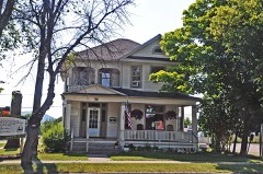
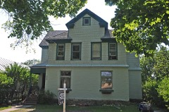
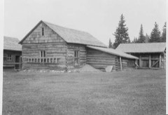
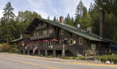
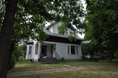
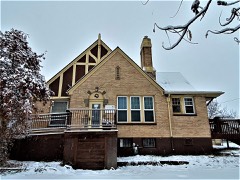
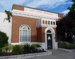
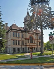
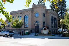
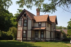
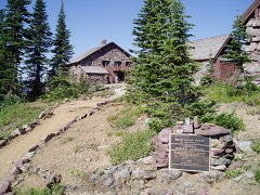
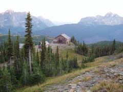
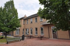
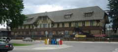
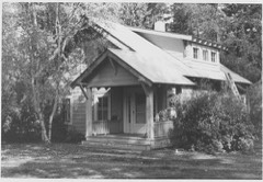
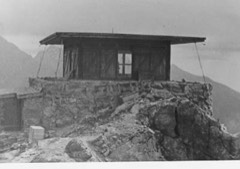
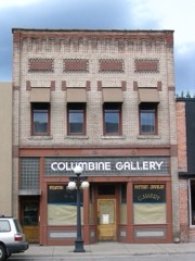
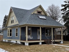
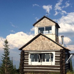
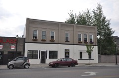
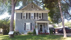
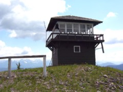
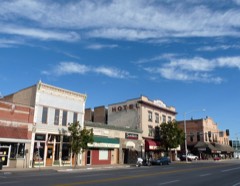
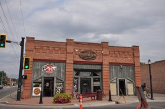
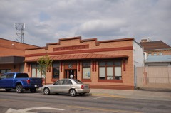
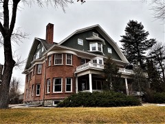
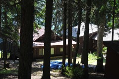
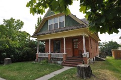
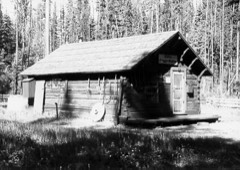
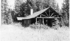
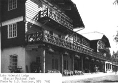
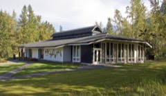
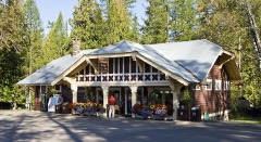
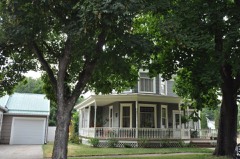
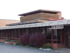
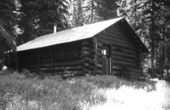
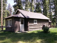
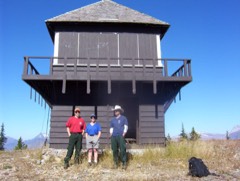
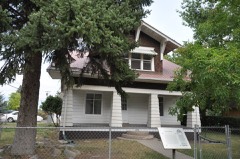
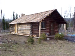
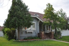
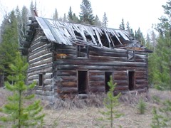
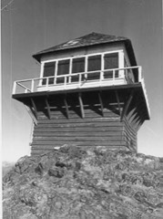
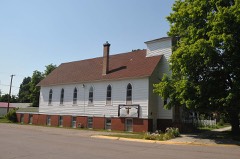
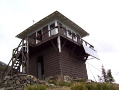
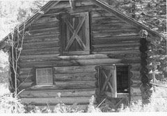
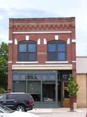
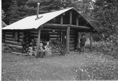
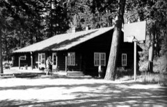
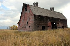
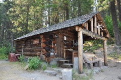
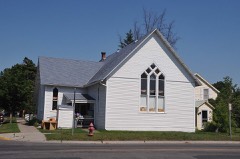
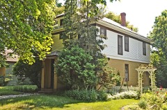
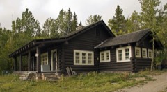
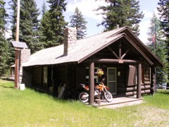
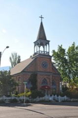
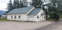
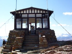
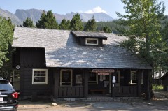
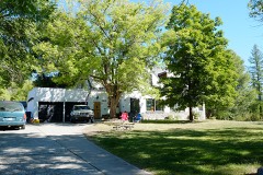
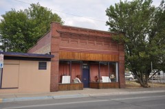
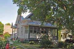
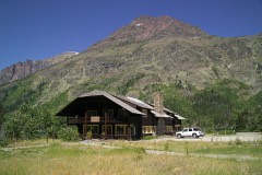
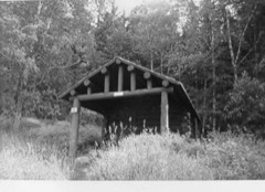
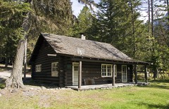
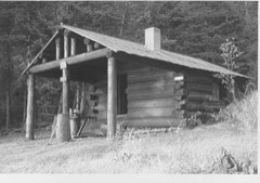
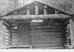
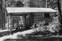
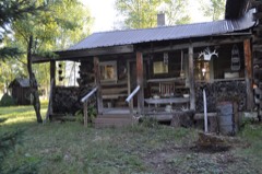
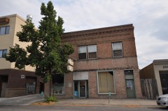
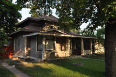
Every property in this county listed on the National Register of Historic Places, with the year it was listed and the federal nomination document.
Every wildfire the federal occurrence database records inside this county: 4,023 of them, burning about 672,345 acres. 1,644 started naturally and 61 were recorded as arson. Each settlement page carries the fires within five miles of it.
| Reported cause | Fires |
|---|---|
| Natural | 1644 |
| Missing data/not specified/undetermined | 901 |
| Recreation and ceremony | 528 |
| Debris and open burning | 489 |
| Equipment and vehicle use | 114 |
| Smoking | 97 |
| Arson/incendiarism | 61 |
| Power generation/transmission/distribution | 55 |
| Fireworks | 49 |
| Misuse of fire by a minor | 42 |
| Railroad operations and maintenance | 31 |
| Other causes | 12 |
The five largest, by the area the report gives. None of them was recorded as arson.
| Date | Cause | Size | Reported by | Name on the report |
|---|---|---|---|---|
| 16 August 2001 | Natural | 71,000 acres | Flathead National Forest | MOOSE |
| 12 August 2015 | Natural | 69,435 acres | Flathead National Forest | BEAR CREEK |
| 23 July 2003 | Missing data/not specified/undetermined | 57,273 acres | Flathead National Forest | ROBERT |
| 18 July 2003 | Natural | 50,981 acres | Flathead National Forest | WEDGE CANYON |
| 23 July 2007 | Natural | 44,176 acres | Flathead National Forest | SKYLAND |
| 15 August 2017 | Natural | 22,142 acres | Flathead National Forest | SCALP |
| 19 August 2003 | Natural | 21,000 acres | Glacier National Park | DOUBLE MOUNTAIN 2 |
| 12 August 2015 | Natural | 20,717 acres | Flathead National Forest | TRAIL CREEK |
Every settlement page carries the fires within five miles of it - see the settlement index below.
The NOAA Storm Events Database holds 203 reports for this county, causing 1 death, 5 injuries and about $11,813,600 in recorded property damage. Each settlement page carries the reports that name it.
| Kind of event | Reports |
|---|---|
| Hail | 100 |
| Thunderstorm Wind | 64 |
| Heavy Rain | 12 |
| Flood | 11 |
| Flash Flood | 5 |
| Tornado | 4 |
| Funnel Cloud | 3 |
| Lightning | 2 |
| Wildfire | 1 |
| Debris Flow | 1 |
The most serious of them, by death, then injury, then recorded damage. The accounts are quoted exactly as the forecast office filed them.
| When | Event | Place named | Harm | What the report says |
|---|---|---|---|---|
| July 2000 | Thunderstorm Wind | Bigfork | 1 killed, 1 hurt | no account filed |
| June 1987 | Thunderstorm Wind | not stated | 2 hurt | no account filed |
| May 2020 | Thunderstorm Wind | Somers | 1 hurt, $450,000 | Widespread high winds were reported as a line of thunderstorms, in the form of a squall line, moved north-northeastward across the region. While wind gusts of 50 to 60 miles per hour were common, a person from the public in Kila reported a measured peak wind gust of 78 miles per hour, and the ASOS at Glacier Park International Airport recorded a peak wind gust of 69 miles per hour. Numerous trees were either snapped in half or uprooted,which resulted in over 200 power outages and 37,000 customers without power. Several houses and vehicles were destroyed as trees fell onto them. Highway 2 and Montana Highway 83 were both covered by fallen trees for a time. A local electric coop remarked that this wind event may be the largest, most damaging outage event in our history. |
| July 1989 | Thunderstorm Wind | not stated | 1 hurt | no account filed |
| November 2006 | Flash Flood | West Glacier | $7,000,000 | The Associated Press reported 7.0 million in damages. Glacier National Park received 9.1 of rainfall in 36 hours. An additional .5 to 1.0 million in damages occurred to the park's trails. |
| July 2022 | Hail | Kalispell City Arpt | $1,500,000 | There were multiple reports from Kalispell, MT of 1.75 to 2.5 hail which caused extensive body and windshield damage to vehicles. Additionally, multiple homes sustained damage, especially roofs that needed to be replaced. One homeowner spent $80,000 US dollars to replace their roof. A patio umbrella in Evergreen, MT was shredded. The property damage estimate could be underdone. |
| June 2022 | Flash Flood | Half Moon | $500,000 | Several areas of flooding and debris flows occurred, mainly on June 15. Trumbull Creek west of Columbia Falls, flooded a dozen homes near Highway 2 with water on to the highway. Flooding also occurred on North Hilltop Road along Garnier Creek and Blankenship Road near Columbia Falls with water running across Highway 2 from nearby hillsides. Debris flows occurred on the west side of Hungry Horse Reservoir forcing the closure of West Side Road in the Graves Creek area. |
| May 1994 | Thunderstorm Wind | Kalispell | $500,000 | Thunderstorms moved northeastward across western Montana downing powerlines, and trees. Several roofs received damage and several mobile homes were destroyed. |
| May 1994 | Thunderstorm Wind | Flathead Valley | $500,000 | Thunderstorms moved northeastward across western Montana downing powerlines, and trees. Several roofs received damage and several mobile homes were destroyed. |
| May 1993 | Thunderstorm Wind | NR Kalispell | $500,000 | Trees and power lines were knocked down. Several funnel clouds were observed over Flathead Lake. |
| July 2007 | Thunderstorm Wind | Lakeside | $300,000 | Numerous trees and power poles were blown down along the northern shores of Flathead lake. The roof to Carpenter's Arena near Kalispell was blown off. Damage to two other roofs was observed. One small grain silo was blown over near Somers. The damage observed from the NWS storm survey crew was indicative of straight line wind damage. Based upon the damage observed, winds were estimated to be between 80 and 100 mph. |
| August 2024 | Thunderstorm Wind | Holt | $100,000 | Flathead Electric reported about 15,000 without power due to downed power lines and downed trees. There was a social media post reporting a 64 mph gust near Badrock. |
| July 2013 | Hail | Jessup | $100,000 | A right-moving supercell developed just southeast of Kila and tracked north and east across the Creston area. A local business sustained considerable damage due to the estimated quarter size hail. |
| August 2019 | Thunderstorm Wind | Bigfork | $50,000 | Multiple thunderstorms collided together just south of Flathead Lake and produced a severe gust front that tracked north to the Flathead Valley. Multiple observers reported that the strong winds lasted for up to 15 minutes. Dozens of toppled trees, damaged power poles, transmission and distribution lines were reported from Bigfork up to Columbia Falls from strong winds. Power outages lasted for 24 hours. The golf course in Bigfork reported losing 59 trees, mostly spruce from 20 to 30 feet tall with diameters between 18 inches and 2.5 feet. The restaurant at the golf course lost all their food due to the power outage. |
| July 2012 | Thunderstorm Wind | Kalispell | $40,000 | There were 20 reports of wind damage in and around Kalispell. Blown over Trees took power lines down and damaged some houses. In addition, 2115 people were without power for a few hours. |
| May 2016 | Flood | Columbia Falls | $35,000 | Between 4 to 6 inches of rain fell within 24 hours causing Spoon and Duck lakes to spill out onto Lake Drive and North Fork Road, and ending up near the Blankenship Road intersection as culverts were unable to handle the extra runoff. Rabe Road also experienced flooding from water originating from the Tea Kettle Mountain area. A private sensor located east-northeast of the Tea Kettle North Mountain or about 3 miles northwest of Coram, measured 6.29 inches of rainfall. The flooding closed North Fork Rd and Rabe Rd which impacted 25 to 30 residents. At least fifteen structures including basements and shop garages were flooded. One unfinished garage saw water that rose to near the ceiling. A fire chief with the Blankenship Fire Department who lives just off of North Fork Road outside of Columbia Falls reported that over three thousand gallons of water flooded his finished basement during this event. On May 23rd, more intense rain developed just north of Columbia Falls resulting in Trumble Creek coming out of its banks. This placed water around seven homes, but did not cause much damage or prevent residents from access. Glacier National Park closed the Going-to-the-Sun-Road at the Apgar Loop Junction due to a culvert washout in the afternoon of May 23rd. Another reason why the culvert was overwhelmed was due to beaver dams breaking up higher in the drainage. At least two portions of the Forest Service road 895 past the Hungry Horse Dam were washed out on May 23rd including Beta Creek. Forest service road 316 from the 6.3 mile marker on North Fork Road to the Canyon Creek area also experienced several washouts. |
| June 2017 | Hail | Rollins | $30,000 | The public sent a photo in to local media showing hails stones up to approximately 1.5 inches in diameter. Photos of hail damage to cars in the vicinity also came across social media feeds. |
| August 2013 | Thunderstorm Wind | Kalispell | $25,000 | An 80-foot-tall pine tree fell over on 5th Ave West in Kalispell crushing a Corvette and damaging a truck, car and a boat. |
| July 2010 | Thunderstorm Wind | Columbia Falls | $20,000 | A trained spotter estimated wind gusts up to 65 mph with trees blown down on to roads. |
| July 2004 | Flash Flood | Kalispell | $20,000 | no account filed |
| July 2016 | Hail | Lupfer | $16,000 | A member of the public located 5 miles west-southwest of Lupfer reported ping pong size hail, which dented 3 vehicles and broke the windshield of 1 vehicle. There were also many plants defoliated by the hail. |
| August 2013 | Thunderstorm Wind | Columbia Falls | $15,000 | The Daily Inter Lake newspaper reported that a tree had fallen on a home on Kokanee Bend two miles southwest of Columbia Falls. The law enforcement scanner traffic indicated that the tree had cut the home in half trapping the people inside. They were uninjured and were eventually able to get out of the house. |
| June 2005 | Thunderstorm Wind | Whitefish | $12,000 | no account filed |
| September 2013 | Hail | (Fca)Kalispell Intl | $11,600 | The Kalispell International airport tower observer estimated half dollar sized hail. Out of at least 5 vehicles damaged, one cost $5,600 to repair. |
| June 2020 | Hail | Kila | $10,000 | A photo was received via social media of a hailstone that appeared a little larger than a golf ball in Kila. Damage to cars, trailer and roof in Kila was also reported. Half dollar hail was reported in Kalispell and just south of Whitefish. |
| June 2016 | Hail | Evergreen | $10,000 | Larger than quarter sized hail was reported at residence north of MT-35 bridge over Flathead River. The hail punched larger than golf ball-sized holes in plastic chicken coop roofing, destroyed residences surveillance camera, and dented their metal barn roof. |
| August 2013 | Thunderstorm Wind | Apgar | $8,000 | A Glacier National Park official reported several cars damaged from downed trees. They also reported that there were several areas with rocks on the road partially blocking lanes, but no major landslide activity. Approximately 22 miles to the northwest in Polebridge, the RAWS sensor measured a wind gust to 50 mph at 4:50 pm MDT. |
| July 2007 | Tornado (EF0) | Bigfork | $8,000 | The public reported a waterspout on Flathead lake along the Flathead/Lake County line. A sailboat at this location was spun around at least once in a counterclockwise direction and then sank. |
| August 2023 | Thunderstorm Wind | (Fca)Kalispell Intl | $5,000 | A wind gust of 68 mph was recorded at the Glacier Park International Airport. The thunderstorm resulted in a couple hundred customers without power in West Glacier and near Coram, according to Flathead Electric COOP. Numerous reports of downed trees were also received. |
| June 2021 | Thunderstorm Wind | Niarada | $5,000 | Thunderstorm outflow winds caused a few downed trees and tree branches which resulted in several power outages around Flathead Lake northward to Whitefish. The main power outages were centered on Woods Bay, Echo Lake, and in the Whitefish area with around 1000 customers without power for a time. |
| July 2013 | Hail | Creston | $5,000 | A right-moving supercell developed just southeast of Kila and tracked north and east across the Creston area. At least two different people from the Many Lakes residential area reported jagged edged-hail to the estimated size of golf balls. One person said the hail looked like it had marble sized pieces frozen together. Multiple homeowners reported hail damage to their vehicles. |
| July 2009 | Hail | Creston | $5,000 | Residents in the Quail Ridge subdivision, just south of Lake Blaine Road, endured hail as large as golf balls raining down for up to half an hour, along with very strong winds. Awnings on homes were dented, gardens were flattened, windows broken and basements were flooded from heavy rainfall up to 1 inch with in 30 minutes. |
| May 1993 | Thunderstorm Wind | Kalispell | $5,000 | Trees and power lines were knocked down. Several funnel clouds were observed over Flathead Lake. |
| August 1993 | Hail | West | $5,000 | The Swiftcurrent Pass area was pummeled by large hail. Heavy rains in the area caused several rock slides. |
| June 2011 | Hail | Creston | $4,500 | A trained spotter estimated 1.25 inch diameter hail. The spotter also reported some shingle damage along with dents in a copper roof. |
| August 2013 | Thunderstorm Wind | Columbia Falls | $4,000 | A trained spotter reported strong gusty winds that brought down power lines and trees of unknown size. They also reported pea size hail. |
| August 2013 | Thunderstorm Wind | (Fca)Kalispell Intl | $3,500 | The weather sensor at the Kalispell International airport reported a gust to 55 mph, and heavy rain with reduced visibilities as low as one mile for at least 19 minutes. It reported 0.27 of rainfall in 23 minutes from 4:32 to 4:55 pm MDT. As the gust front moved through the Kalispell area, there were reports of a dust storm that brought visibilities down to near zero for several minutes before the rain began. The dust cloud moved through an open door of the Glacier High School setting off fire alarms and filling the school with dust. The school's custodial staff had to spend the night removing and cleaning the dust out. The strong wind caused large trees to fall, knocking down power lines and blocking roads. The power company reported approximately 2,500 people without power for a time that evening. |
| August 2013 | Thunderstorm Wind | Creston | $3,000 | A member of the public measured strong gusty winds that pushed over three large Ponderosa Pine trees and power outages. A tree fell onto a transmission line that impacted two power substations causing power outages for the Many Lakes and Echo Lake area. |
| August 2013 | Thunderstorm Wind | Evergreen | $2,000 | Downed power lines caused power outages and temporarily blocked U.S. 2 in Evergreen Sunday night. |
| July 2008 | Hail | Somers | $2,000 | Trained spotter reported up to 1 inch hail with winds up to 45 mph and damage to a camper. |
| May 2013 | Lightning | Somers | $1,000 | Scattered power outages were reported from Kalispell to Somers due to lightning strikes. |
| August 2013 | Thunderstorm Wind | (Fca)Kalispell Intl | $1,000 | The Kalispell ASOS station measured a strong southerly wind gust to 55 mph. The Flathead Valley power companies reported that around 5,000 customers lost power from 8pm MDT through the early morning hours on August 26. Multiple trees fell on power lines causing the outages. |
| July 2011 | Hail | Bigfork | $1,000 | Trained spotter estimated nickel sized hail, with damage to apples and cherries in an orchard. A truck five miles north of Bigfork received some dents in it's hood. |
| July 2013 | Hail | Creston | $500 | A right-moving supercell developed just southeast of Kila and tracked north and east across the Creston area. A farmer reported hail accumulation between 6 and 8 inches that dented vehicle hoods and damaged barley, spring wheat and canola crops. The half inch hail was estimated. |
| September 1994 | Thunderstorm Wind | Kalispell | $500 | no account filed |
| May 2025 | Hail | Half Moon | - | A trained spotter reported one inch diameter hail. A flight into Kalispell was diverted to Spokane due to the storm. |
| August 2025 | Heavy Rain | Lake Mcdonald | - | Flooding was reported on the Highline Trail. People needed to be rescued, but ongoing thunderstorms prevented helicopter operations. |
| August 2024 | Hail | Half Moon | - | A trained spotter measured one inch hail near Columbia Falls. |
| June 2022 | Flood | Kalispell | - | The Flathead River at Columbia Falls reached minor flood stage on June 12 as Flathead Lake reached full pool, and continued at minor flood stage until June 26. Impacts included groundwater flooding agricultural fields along the Steel Bridge Road. Also water flooded recreational vehicle sites and surrounded some trailer homes just northwest of the Highway 35 bridge over the Flathead River. This event did prompt Flathead County to spin up an Emergency Operations Center with the Sheriff as the IC. |
| September 2021 | Debris Flow | Lake Mcdonald | - | Backpackers camping at the edge of Lake Ellen Wilson in Glacier National Park were awakened by torrential rainfall and the clapping of thunder around midnight. Bias-corrected radar data estimated over half an inch of rain fell in one hour through 1 am on the 11th. The rain continued at moderate intensities for a few more hours and ended by late morning with an radar estimated total rainfall amount of over 2 inches. The campers reported boulders rolling down Mount Jackson into the lake throughout the night with 6 new waterfalls cutting off their exit trail towards Sperry Chalet. Three backpackers had to bed down at Gunsight Pass for an extra night due to all the rock slides and fast-moving water through the trails. |
| May 2020 | Flood | Polebridge Sonderson | - | Overbank flooding was reported along much of the North Fork of the Flathead River, from the North Fork and Camas Road intersection, north to the Canadian border. While much of the adjacent areas are rural, flooding did occur on North Fork Road and other local roads around Polebridge through June 1. |
| July 2017 | Thunderstorm Wind | Kalispell | - | Multiple reports of tree damage and a localized power outage occurred southeast of Kalispell and Evergreen according to a call to the NWS office and via Twitter reports. |
| June 2016 | Hail | Kalispell | - | The public reported quarter-sized hail from a thunderstorm west of Kalispell, MT. |
| June 2016 | Hail | Kalispell | - | The public sent a photo showing multiple hailstones as large as quarters in Kalispell, MT. |
| June 2016 | Hail | Lasalle | - | The public reported 1-inch hail via social media 3 miles south of Columbia Falls, MT. |
| July 2016 | Hail | Somers | - | A hotel employee reported lots of hail ranging from dime size to quarter size. The storm lasted about 10 minutes and was accompanied by gusty winds. |
| February 2015 | Heavy Rain | West Glacier | - | A rockslide was reported along US-2 just east of West Glacier, MT. The eastbound lane was blocked by softball-sized rocks. Road crews cleared debris and the road was usable again an hour later. |
| May 2014 | Funnel Cloud | Whitefish | - | An official observer at the Glacier Park International Airport observed a funnel cloud approximately 8 miles to the northwest. They reported that it didn't seem to reach the ground and only lasted for a minute. Radar and lightning data confirmed that the funnel cloud was attached to a cumulonimbus cloud(thunderstorm). Due to strong deep layer southwest wind shear ranging between 40 and 45 knots and with the relative location of the precipitation shaft to the base of the storm, the thunderstorm could have been supercellular. The Glacier National Park ASOS observed high relative humidities and south to south-southeast winds between 13 and 17 knots which added low-level wind shear. The appearance of the thunderstorm cloud base was relatively low which is another favorable atmospheric condition for funnel cloud development. Thanks to James LaDue from the NWS Warning Decision Training Branch for his added contribution to this report. |
| July 2014 | Heavy Rain | West Glacier | - | The Glacier National Park RAWS reported 0.76 of rainfall in one hour. Other heavy rainfall reports include 0.78 40 min. ending 4:10 pm MDT 3 miles east of Creston and 0.65 in one hour via Hungry Horse RAWS at 6:11 pm MDT. |
| June 2014 | Heavy Rain | (Fca)Kalispell Intl | - | A COOP observer reported a 4 day precipitation total of 4.25 during this event which was the highest manual observation. Other total amounts include: 4.20 Bigfork 3.2 miles east-northeast, 4.08 Columbia Falls 7.7 miles south, 3.52 Kalispell 1.7 miles northwest, 3.23 Olney, 3.22 Ronan 4.1 miles northeast, 3.01 West Glacier and 2.50 Thompson Falls 9.3 miles northwest. Kintla Lake Rd. in Glacier National Park was closed for a period of time due to water over the road and caused a campground crew to be stranded. |
The Survey's mineral resources record lists 109 workings inside this county. 16 still produce and 93 are closed or unrecorded. Each settlement page carries the workings within five miles of it.
| Commodity | Workings |
|---|---|
| Copper | 27 |
| Silver | 16 |
| Gold | 14 |
| Sand and Gravel, Construction | 12 |
| Silver, Lead | 6 |
| Silica | 6 |
| Lead | 6 |
| Iron | 4 |
| Silver, Gold | 4 |
| Copper, Silver | 4 |
| Pumice | 3 |
| Copper, Gold | 3 |
| Gold, Silver | 3 |
| Stone, Crushed/Broken | 3 |
The least common of them first, because a county's hundredth gravel pit says nothing its first ten did not.
| Where | Site | Commodity | Status | Recorded |
|---|---|---|---|---|
| (Facility) Columbia Falls Aluminum Co. Smelter | Aluminum, Contained or Metal | Plant | 1955 | |
| Battle Butte Mine | Lead, Zinc, Copper | Occurrence | Galena | |
| Black Bear Creek | Diatomite | Unknown | ||
| Blacktail Prospect | Silver, Copper, Gold, Lead | Past Producer | ||
| Blow Out Mine #1 | Silver, Lead, Copper | Prospect | ||
| Blue Grouse Group | Silver, Gold, Bismuth, Copper | Past Producer | ||
| Bungalow Mtn. Prospect | Zinc, Barium-Barite, Silver | Unknown | ||
| Eudora Mine | Silver, Lead, Gold, Copper | Producer | Gold, Silver | |
| Flathead Mines | Lead, Silver, Gold, Zinc, Copper | Plant | 1913, 1928 | |
| Flathead Sunset Quarry | Stone | Past Producer | ||
| Glacier=1,=2 Claims | Barium-Barite, Strontium | Occurrence | ||
| Golden Queen No 1 Mine | Silver, Gold, Lead, Copper | Prospect | ||
| Grant Mine | Silver, Gold, Lead, Barium-Barite | Past Producer | 1928, 1964 | |
| Grant Mine | Gold, Copper, Lead, Silver, Barium-Barite | Occurrence | ||
| Harvey-Nickolas Prospect | Copper, Gold, Lead, Silver | Prospect | ||
| Helen Creek Lead-Zinc Occurrence | Lead, Zinc | Occurrence | 1926 | |
| Hog Heaven District | Lead, Gold, Silver | Producer | PORPHYRY, VEIN | |
| Martin Mine | Copper, Lead, Zinc | Occurrence | Sphalerite | |
| Martin and Battle Butte Mines | Zinc, Copper, Lead, Silver | Occurrence | 1939, 1945 | |
| O.F. Martin Mine | Gold, Zinc, Silver, Lead, Copper | Past Producer | ||
| Old Dominion Prospect | Silver, Copper | Occurrence | ||
| One Dead Digger | Silver, Copper, Quartz | Unknown | ||
| Reser | Manganese | Prospect | ||
| Salish Mountains | Limestone, General | Unknown | ||
| San Mezcalito Mine | Silver, Barium-Barite, Copper | Past Producer | ||
| Wort Prospect | Copper, Gold, Lead | Past Producer | ||
| Birdseye Mine | Lead, Silver, Copper | Past Producer | 1930 | |
| Helen Creek Occurence | Zinc, Barium-Barite | Prospect | ||
| Big Four Prospect | Silver, Copper, Gold | Occurrence | 1905 | |
| Essex | Stone, Crushed/Broken | Producer | ||
| Eudora Mining Co. | Silver, Copper, Gold | Occurrence | ||
| Foolsburg Mine | Copper, Gold, Silver | Past Producer | ||
| Glacier Prospect | Barium-Barite | Past Producer | ||
| Griffin Creek Prospect | Copper, Gold, Silver | Past Producer | ||
| Half Man Prospect | Quartz, Copper | Past Producer | ||
| Hamilton Pit | Stone, Crushed/Broken | Producer | ||
| Hebnes Pit | Stone, Crushed/Broken | Past Producer | ||
| Kalispell | Clay | Unknown | ||
| Section 18 Tuff | Pumice | Occurrence | ||
| Section 8 Tuff No. 1 | Pumice | Occurrence | ||
| Section 8 Tuff No. 2 | Pumice | Prospect | ||
| Stanton Lake Prospects | Copper, Quartz | Unknown | ||
| Unnamed Kaolinitic Clay | Clay | Occurrence | ||
| Unnamed Kaolinte | Clay | Unknown | ||
| Unnamed Quartz | Quartz | Occurrence | ||
| Unnamed Silver,Gold,Copper | Silver, Copper, Gold | Occurrence | ||
| Yukon Mine | Copper, Gold, Silver | Past Producer | ||
| Bergman & Murphy Property | Lead, Silver, Gold | Occurrence | ||
| Copper King Prospect | Gold, Copper, Silver | Prospect | ||
| Crosley-Sucetti Prospect | Iron | Past Producer | ||
| Herrigg Creek | Silver, Gold, Copper | Unknown | ||
| Iron Occurrence | Iron | Occurrence | ||
| Iron Occurrence | Iron | Occurrence | ||
| Ole Mine | Gold, Copper, Silver | Past Producer | ||
| Sanko Creek Mine | Gold, Copper, Silver | Unknown | ||
| Truman Creek - Blacktail Mountain Road Occurrence | Iron | Occurrence | Hematite | |
| West Virginia Mine | Gold, Copper, Silver | Past Producer | ||
| Beudantite Occurrence | Silver, Lead | Occurrence | Beudantite | |
| Boorman Peak | Silica | Unknown | ||
| Dale Mine | Silver, Lead | Occurrence | ||
| Felix Creek Prospects | Silica, Copper | Unknown | ||
| Grubb Mountain Area | Silica | Unknown | ||
| Hog Heaven District | Silver, Lead | Producer | STOCKWORK, PIPES, IRREGULAR | |
| Mary Ann Mine | Silver, Lead, Copper | Past Producer | 1930 | |
| Mary Ann Mine | Gold, Silver, Lead | Past Producer | ||
| Reser Property | Silver, Lead | Occurrence | ||
| Unnamed Kaolinitic Clay | Silica | Occurrence | ||
| Unnamed Lead | Lead | Occurrence | ||
| Unnamed Lead | Lead | Occurrence | ||
| Unnamed Lead | Lead | Occurrence | ||
| Unnamed Lead & Silver | Lead, Silver | Occurrence | ||
| Unnamed Quartz | Silica | Occurrence | ||
| Unnamed Quartzite | Silica | Unknown | ||
| Unnamed Silver & Lead | Silver, Lead | Occurrence | ||
| American Asphalt Pit | Sand and Gravel, Construction | Past Producer | ||
| Art Weaver Crusher | Sand and Gravel, Construction | Producer | ||
| Blue Moon Pit | Sand and Gravel, Construction | Producer | ||
| Carlson Pit | Sand and Gravel, Construction | Producer | ||
| Crushing Plant No. 2 | Sand and Gravel, Construction | Producer | ||
| Crushing Plant No.. 1 | Sand and Gravel, Construction | Producer | ||
| Essex Quarry | Sand and Gravel, Construction | Past Producer | ||
| Flathead County Crusher | Sand and Gravel, Construction | Producer | ||
| Gravel Pit | Sand and Gravel, Construction | Unknown | ||
| Mc Elnoy and Wilker Sand & Gravel | Sand and Gravel, Construction | Producer | ||
| Pack Pit | Sand and Gravel, Construction | Producer | ||
| Truman Pit | Sand and Gravel, Construction | Producer | ||
| Golden Queen No.1 Mine | Gold, Silver | Occurrence | ||
| Herrig Placer | Gold | Past Producer | ||
| Unnamed Copper & Gold | Copper, Gold | Occurrence | ||
| Unnamed Gold | Gold | Occurrence | ||
| Unnamed Gold | Gold | Occurrence | ||
| Unnamed Gold | Gold | Occurrence | ||
| Unnamed Gold | Gold | Occurrence | ||
| Jeanette and Little Darling Claims | Copper, Silver | Unknown | ||
| Limonite Vein and Nodule Occurrence | Silver | Occurrence | Limonite | |
| Old Dominion Claims | Copper, Silver | Occurrence | ||
| South Fork Logan Creek Prospects | Copper, Silver | Unknown | ||
| Stahl Prospect | Copper, Silver | Past Producer | ||
| Unnamed Silver | Silver | Occurrence | ||
| Corkscrew Copper Prospect | Copper | Occurrence | ||
| Great Northern | Copper | Past Producer | ||
| Humdinger Prospect | Copper | Past Producer | ||
| Lippincott | Copper | Past Producer | ||
| Lucky Strike Prospect | Copper | Prospect | ||
| Micho Mine | Copper | Occurrence | ||
| Moonlight Claim | Copper | Occurrence | ||
| Okedale | Copper | Past Producer | ||
| Unawah Creek Prospects | Copper | Unknown | ||
| Unnamed Copper | Copper | Occurrence |
Named settlements recorded in the Geographic Names Information System, each with the topographic sheets covering it. Villages, hamlets and abandoned places alike. Each is shown with the nearest named watercourse or landform and the survey quadrangle it falls on.
Glacier National Park census division · 59936 · On Apgar Creek · Lake McDonald West quadrangle
24 sheets, 1904 to 1994
Kalispell census division · 59901 · On Spring Creek · Kalispell quadrangle
11 sheets, 1943 to 1994
No longer a settlement
Kalispell Northwest census division · 59901 · On Boorman Creek · Blue Grass Ridge quadrangle
12 sheets, 1943 to 1994
Creston-Bigfork census division · 59911 · On Bear Creek · Crater Lake quadrangle
12 sheets, 1914 to 1994
Columbia Falls census division · 59912 · On Garnier Creek · Columbia Falls South quadrangle
11 sheets, 1943 to 1994
Creston-Bigfork census division · 59911 · On Swan River · Bigfork quadrangle
12 sheets, 1943 to 1994
South Fork census division · 59916 · Near McCartysville Flats · Blacktail quadrangle
12 sheets, 1913 to 1994
South Fork census division · On Canyon Creek · Pioneer Ridge quadrangle
11 sheets, 1914 to 1994
Columbia Falls census division · 59912 · On Cedar Creek · Columbia Falls South quadrangle
11 sheets, 1943 to 1994
Columbia Falls census division · 59912 · Near Badrock Canyon · Columbia Falls North quadrangle
12 sheets, 1943 to 1994
Glacier National Park census division · 59936 · On Midget Creek · Lake McDonald East quadrangle
24 sheets, 1904 to 1994
Glacier National Park census division · 59928 · On Alder Creek · Ahern Pass quadrangle
24 sheets, 1904 to 1968
Kalispell census division · 59901 · On Stillwater River · Kalispell quadrangle
11 sheets, 1943 to 1994
No longer a settlement
Kalispell census division · 59901 · On Whitefish River · Kalispell quadrangle
11 sheets, 1943 to 1994
No longer a settlement
South Fork census division · 59916 · On Essex Creek · Essex quadrangle
11 sheets, 1914 to 1994
Kalispell census division · 59901 · On Whitefish River · Kalispell quadrangle
11 sheets, 1943 to 1994
Columbia Falls census division · 59928 · On Tepee Creek · Trailcreek quadrangle
13 sheets, 1906 to 1994
Lakeside-Somers census division · 59901 · On Patrick Creek · Lion Mountain quadrangle
11 sheets, 1943 to 1994
Glacier National Park census division · 59936 · On Midget Creek · Mount Cannon quadrangle
23 sheets, 1904 to 1968
No longer a settlement
Columbia Falls census division · 59912 · On Garnier Creek · Columbia Falls North quadrangle
12 sheets, 1943 to 1994
Whitefish census division · 59937 · On Cow Creek · Whitefish quadrangle
12 sheets, 1943 to 1994
Flathead Reservation census division · 59845 · Near Deep Draw · Irvine Lookout Tower quadrangle
8 sheets, 1920 to 1982
No longer a settlement
South Fork census division · 59919 · On Sand Creek · Hungry Horse quadrangle
12 sheets, 1943 to 1994
Kalispell census division · 59901 · On Stillwater Slough · Kalispell quadrangle
11 sheets, 1943 to 1994
Kalispell Southwest census division · 59901 · Near Hoffman Draw · Kila quadrangle
10 sheets, 1943 to 1994
Kalispell census division · 59901 · Columbia Falls South quadrangle
11 sheets, 1943 to 1994
Glacier National Park census division · 59936 · On Midget Creek · Lake McDonald East quadrangle
24 sheets, 1904 to 1994
Lakeside-Somers census division · 59922 · On Stoner Creek · Somers quadrangle
11 sheets, 1943 to 1994
Columbia Falls census division · 59912 · On Garnier Creek · Columbia Falls South quadrangle
11 sheets, 1943 to 1994
Whitefish census division · 59927 · On Logan Creek · Tally Lake quadrangle
11 sheets, 1957 to 1994
Kalispell census division · 59901 · On Stillwater Slough · Kalispell quadrangle
11 sheets, 1943 to 1994
South Fork census division · 59926 · On South Fork Abbot Creek · Hungry Horse quadrangle
12 sheets, 1943 to 1994
South Fork census division · 59916 · On Giefer Creek · Blacktail quadrangle
12 sheets, 1913 to 1994
No longer a settlement
Kalispell census division · 59901 · On Stillwater Slough · Kalispell quadrangle
11 sheets, 1943 to 1994
Creston-Bigfork census division · 59911 · On Rocky Creek · Crater Lake quadrangle
12 sheets, 1914 to 1994
No longer a settlement
Creston-Bigfork census division · 59911 · Near Deer Island · Bigfork quadrangle
12 sheets, 1943 to 1994
No longer a settlement
Glacier National Park census division · 59936 · On Java Creek · Nimrod quadrangle
13 sheets, 1914 to 1994
Kalispell census division · 59901 · On Spring Creek · Kalispell quadrangle
11 sheets, 1943 to 1994
South Fork census division · 59936 · On Cascade Creek · Nyack quadrangle
13 sheets, 1914 to 1994
Glacier National Park census division · 59928 · On Alder Creek · Mount Cannon quadrangle
23 sheets, 1904 to 1968
Kalispell census division · 59901 · On Whitefish River · Kalispell quadrangle
11 sheets, 1943 to 1994
No longer a settlement
Columbia Falls census division · 59912 · On Cedar Creek · Columbia Falls South quadrangle
11 sheets, 1943 to 1994
South Fork census division · 59916 · On Muir Creek · Pinnacle quadrangle
13 sheets, 1914 to 1994
Columbia Falls census division · 59928 · On Spring Creek · Polebridge quadrangle
14 sheets, 1906 to 1994
South Fork census division · On Quintonkon Creek · Quintonkon quadrangle
14 sheets, 1914 to 1994
Whitefish census division · 59927 · On Rock Creek · Radnor quadrangle
12 sheets, 1913 to 1994
Whitefish census division · 59937 · Whitefish quadrangle
12 sheets, 1943 to 1994
No longer a settlement
Glacier National Park census division · 59936 · On Avalanche Creek · Mount Cannon quadrangle
23 sheets, 1904 to 1968
Glacier National Park census division · 59928 · On Hawk Creek · Polebridge quadrangle
14 sheets, 1906 to 1994
No longer a settlement
Kalispell Northwest census division · 59901 · In Rhodes Draw · Rhodes quadrangle
11 sheets, 1943 to 1994
Kalispell census division · 59901 · On Whitefish River · Kalispell quadrangle
11 sheets, 1943 to 1994
Kalispell census division · 59901 · On Trumbull Creek · Rose Crossing quadrangle
12 sheets, 1943 to 1994
Glacier National Park census division · 59936 · On Devil Creek · Mount Bradley quadrangle
13 sheets, 1913 to 1994
South Fork census division · 59916 · On Shields Creek · Blacktail quadrangle
12 sheets, 1913 to 1994
Lakeside-Somers census division · 59932 · Near Invitation Island · Somers quadrangle
11 sheets, 1943 to 1994
South Fork census division · 59926 · On Alpha Creek · Doris Mountain quadrangle
11 sheets, 1943 to 1994
No longer a settlement
Glacier National Park census division · 59936 · Near Lincoln Peak · Lake McDonald East quadrangle
24 sheets, 1904 to 1994
Creston-Bigfork census division · 59911 · Near Deer Island · Bigfork quadrangle
12 sheets, 1943 to 1994
Creston-Bigfork census division · 59911 · Near Deer Island · Bigfork quadrangle
12 sheets, 1943 to 1994
No longer a settlement
South Fork census division · 59936 · On Morrison Creek · Capitol Mountain quadrangle
14 sheets, 1913 to 1994
Columbia Falls census division · 59928 · On Trail Creek · Trailcreek quadrangle
13 sheets, 1906 to 1994
Whitefish census division · 59937 · On Hell Roaring Creek · Beaver Lake quadrangle
12 sheets, 1943 to 1994
South Fork census division · 59926 · On Alpha Creek · Doris Mountain quadrangle
11 sheets, 1943 to 1994
No longer a settlement
Glacier National Park census division · 59936 · Near John F Stevens Canyon · West Glacier quadrangle
14 sheets, 1914 to 1994
Whitefish census division · 59937 · On Cow Creek · Whitefish quadrangle
12 sheets, 1943 to 1994
Columbia Falls census division · 59928 · On Kintla Creek · Trailcreek quadrangle
13 sheets, 1906 to 1994
Kalispell Southwest census division · 59925 · On McGregor Creek · Thompson Lakes quadrangle
15 sheets, 1920 to 1997
No longer a settlement
The vanished settlements of Flathead County: the places named above that are no longer on the map.