 Block
Decker, Montana
7 topographic sheets cover this place, the earliest surveyed in 1954 and the latest in 1980. It stands in the Decker census division. It lies in ZIP code area 82801. It stands on Squirrel Creek. The Survey maps it on the Decker quadrangle. It stands 3,524 feet above sea level.
On record in Decker
Buildings and businesses the archive holds for this place. Each opens its own page, with the source record it came from.
On the National Register 1 record
- Lee Homesteadlisted 1981
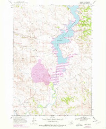
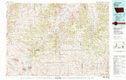
Topographic sheets covering this place
5 surveys from 7 printed sheetsMatched by testing this settlement's coordinate against the published boundary of every sheet in the United States Geological Survey's historical collection. Each opens the scanned sheet at the Survey.
- 1954 USGS Hardin quadrangle1:250000, 2 printings
- 1957 USGS Hardin quadrangle1:250000
- 1958 USGS Hardin quadrangle1:250000
- 1967 USGS Decker quadrangle1:24000, 2 printings
- 1980 USGS Birney quadrangle1:100000
Fires near this place
16 since 1992Regional context, not property-specific evidence. The federal wildfire occurrence database lists 16 fires within 5 miles of Decker between 1992 and 2020, burning about 4,678 acres in total. 4 started naturally. None was recorded as arson. Distance is straight-line from the map coordinates, so a fire counted here may appear on a neighbouring settlement's page as well.
| Reported cause | Fires |
|---|---|
| Missing data/not specified/undetermined | 7 |
| Natural | 4 |
| Debris and open burning | 2 |
| Equipment and vehicle use | 2 |
| Firearms and explosives use | 1 |
The most recent of them, most recent first, with the day each was reported and the service that recorded it.
| Date | Cause | Size | Reported by | Name on the report |
|---|---|---|---|---|
| 6 September 2003 | Missing data/not specified/undetermined | 1.0 acres | Wyoming State Forestry | not named |
| 5 September 2020 | Firearms and explosives use | 1,061 acres | Big Horn County | RESERVOIR |
| 2 September 2000 | Natural | 7.0 acres | Miles City Field Office | SPRING CRK |
| 8 August 2017 | Equipment and vehicle use | 686 acres | Miles City Field Office | COAL |
| 25 August 2020 | Missing data/not specified/undetermined | 12 acres | Wyoming State Forestry | DECKER |
| 12 August 2007 | Natural | 2,234 acres | Buffalo Field Office | TRAIL CREEK |
| 9 July 2016 | Missing data/not specified/undetermined | 315 acres | Wyoming State Forestry | not named |
| 8 July 2016 | Natural | 304 acres | Buffalo Field Office | BEATTY SPUR |
Mines and quarries near this place
1 within 5 milesRegional context, not property-specific evidence. The federal mineral resources record lists 1 working within 5 miles of Decker: 1 producer. All of them still produce. What was taken out: Sand and Gravel, Construction. Distance is straight-line from the map coordinates, so a quarry counted here may appear on a neighbouring settlement's page as well.
| Where | Site | Commodity | Status | Recorded |
|---|---|---|---|---|
| Foss Pit | Sand and Gravel, Construction | Producer |
Storms near this place
33 since 1996Regional context, not property-specific evidence. The National Weather Service names Decker in 33 storm reports between 1996 and 2023: 14 hail, 13 thunderstorm wind, 5 flash flood, 1 lightning. The reports record 3 deaths. Each account below is quoted exactly as the forecast office filed it, from the NOAA Storm Events Database, and each date opens the federal record of that event.
| When | Event | Place named | Harm | What the report says |
|---|---|---|---|---|
| July 2008 | Thunderstorm Wind | Decker | 2 killed | Two fatalities, both drownings, occurred from a severe thunderstorm that moved across the Tongue River Reservoir. A man fell from a dock and a woman drowned when her small boat capsized as a result of very strong thunderstorm winds. |
| July 1999 | Lightning | Decker | 1 killed | A 13 year old girl was stuck and killed by lightning on the Tongue River Reservoir. |
| July 2000 | Thunderstorm Wind | Decker | $4,000 | Roof damage at Decker with thunderstorm winds. |
| June 2014 | Thunderstorm Wind | Decker | - | A wind gust blew a camper off a pickup truck. |
| July 2014 | Thunderstorm Wind | Decker | - | A pick up camper's hatch roof was ripped off during the storm. Winds were estimated at 65 to 80 mph. |
| July 2013 | Thunderstorm Wind | Decker | - | A wind gust of 60 mph was estimated 5 miles north of the Tongue River Reservoir. |
| August 2013 | Thunderstorm Wind | Decker | - | A wind gust of 60 mph was estimated just north of the Tongue River Reservoir. |
| August 2011 | Thunderstorm Wind | Decker | - | Winds were estimated at 60 mph. Trees limbs were broken and leaves stripped. |
| August 2010 | Thunderstorm Wind | Decker | - | An estimated thunderstorm wind gust of 60 mph was reported 1 mile NNE of the Tongue River Reservoir. |
| June 2008 | Hail | Decker | - | Hail dented cars and cracked windshields. |
| June 2008 | Hail | Decker | - | Wind gusts were estimated at 50 mph. |
| July 2005 | Thunderstorm Wind | Decker | - | 14 foot boat and trailer blown over |
| July 2001 | Flash Flood | Decker | - | 1 inch of rain in 20 minutes |
| July 2001 | Flash Flood | Decker | - | 145 feet of road bed washed out beneath the Burlington/Northern Railroad tracks...2 feet of water over the tracks |
| July 2001 | Flash Flood | Decker | - | 2-3 feet of water running over the road in town |
| July 2001 | Flash Flood | Decker | - | Gullies and valleys have torrential flow. Standing water over flat areas |
| July 2023 | Hail | Decker | - | no account filed |
| June 2015 | Hail | Decker | - | no account filed |
| August 2013 | Hail | Decker | - | no account filed |
| August 2013 | Hail | Decker | - | no account filed |
| June 2010 | Hail | Decker | - | no account filed |
| June 2010 | Hail | Decker | - | no account filed |
| June 2008 | Hail | Decker | - | no account filed |
| June 2005 | Hail | Decker | - | no account filed |
| June 2005 | Hail | Decker | - | no account filed |
| July 2005 | Hail | Decker | - | no account filed |
| June 2002 | Thunderstorm Wind | Decker | - | no account filed |
| June 2001 | Thunderstorm Wind | Decker | - | no account filed |
| June 2001 | Hail | Decker | - | no account filed |
| June 2001 | Hail | Decker | - | no account filed |
| July 2001 | Thunderstorm Wind | Decker | - | no account filed |
| June 1997 | Flash Flood | Decker | - | no account filed |
| June 1996 | Thunderstorm Wind | Decker | - | no account filed |
Nearest settlements
The eight closest, with where each one stands in the county. Distances are straight-line, computed from the Geographic Names Information System coordinates.
| Map | Place | Distance | Sheets |
|---|---|---|---|
| Kirby | 23.0 miles | 7 | |
| Aberdeen | 26.3 miles | 12 | |
| Wyola | 29.2 miles | 12 | |
| Spear | 30.3 miles | 12 | |
| Quietus | 31.3 miles | 6 | |
| Forty Mile Colony | 31.4 miles | 13 | |
| Lodge Grass | 33.7 miles | 13 | |
| Busby | 36.6 miles | 8 |
Elsewhere
Matched on this settlement's Geographic Names Information System number rather than its name, so it cannot be a different place of the same name in another state.
| Wikipedia article on Decker | An encyclopaedic summary. Its text is share-alike, so it is linked here rather than copied. |
| Wikidata item Q5249289 | The structured record the population and elevation above come from. Public domain (CC0). |
Provenance
This settlement is recorded in the Geographic Names Information System as feature 770540. The sheet list is computed by point-in-boundary test against the United States Geological Survey's historical topographic inventory. Both are works of the United States government and carry no copyright under 17 U.S.C. 105.
Wildfire. Short, Karen C. 2022. Spatial wildfire occurrence data for the United States, 1992-2020 [FPA_FOD_20221014]. 6th Edition. Fort Collins, CO: Forest Service Research Data Archive. https://doi.org/10.2737/RDS-2013-0009.6 Collected with United States Government funding and usable without additional permissions or fees.
Mines and quarries. USGS Mineral Resources Data System (MRDS) https://mrdata.usgs.gov/mrds/ A work of the United States government, no copyright under 17 U.S.C. 105.
Storms. NOAA National Centers for Environmental Information, Storm Events Database https://www.ncei.noaa.gov/stormevents/ A work of the United States government, no copyright under 17 U.S.C. 105. Narratives are quoted verbatim from the National Weather Service report and are not edited or summarised.