 Block
Kalispell, Montana
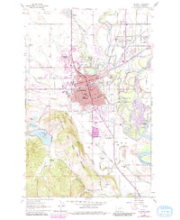
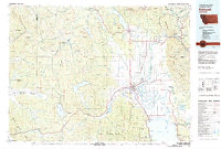
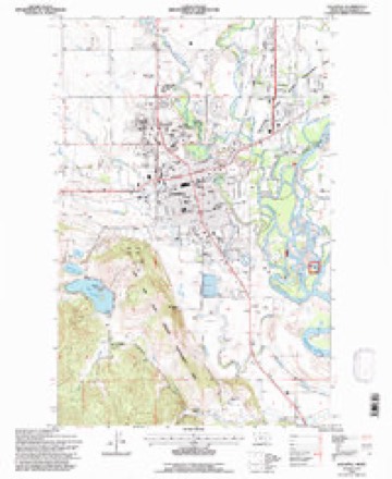
11 topographic sheets cover this place, the earliest surveyed in 1943 and the latest in 1994. It stands in the Kalispell census division. It lies in ZIP code area 59901. It stands on Stillwater Slough. The Survey maps it on the Kalispell quadrangle. 24,558 people lived here at the 2020 count. It stands 2,956 feet above sea level.
Research this city
On record in Kalispell
Buildings and businesses the archive holds for this place. Each opens its own page, with the source record it came from.
On the National Register 12 of 64 shown
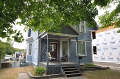 Alexander and Busey Houseslisted 1994
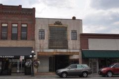 Anderson Style Shoplisted 1994
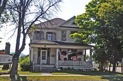 Bader-Jaquette and Westwang Houses and Rental Propertylisted 1994
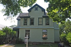 Beaman Houselisted 1994
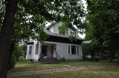 Billsborough Houselisted 1994
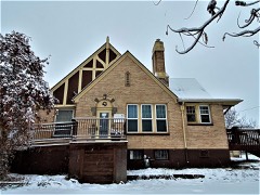 Charles Boles Houselisted 2006
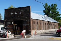 Boyd's Shoplisted 1994
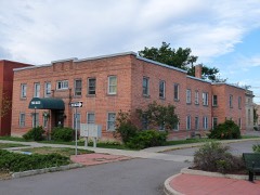 Brice Apartmentslisted 1994
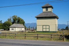 Bruyer Granarylisted 2006
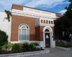 City Water Departmentlisted 1994
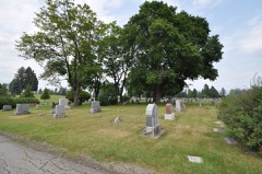 C.E. Conrad Memorial Cemeterylisted 2012
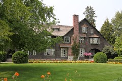 Charles E. Conrad Mansionlisted 1975
Population over time
2 figuresKalispell grew from 19,927 to 24,558 between 2010 and 2020. These are the recorded population figures Wikidata holds for this place, reached through the Geographic Names Information System number this page is keyed on rather than by name, so they belong to this place and not to another of the same name. Most are census counts, but not all are: an early figure may be a founding or settlement estimate, and an estimate published within five years of a census is left out. The change column is computed, and is left blank where more than 20 years separate a figure from the one before it, because a gap that long is not a change between two counts.
| Year | People | Change |
|---|---|---|
| 2010 | 19,927 | |
| 2020 | 24,558 | +4,631 (+23%) |
Topographic sheets covering this place
7 surveys from 11 printed sheetsMatched by testing this settlement's coordinate against the published boundary of every sheet in the United States Geological Survey's historical collection. Each opens the scanned sheet at the Survey.
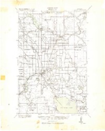
- 1943 USGS Kalispell quadrangle1:125000
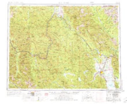
- 1957 USGS Kalispell quadrangle1:250000, 3 printings
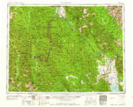
- 1960 USGS Kalispell quadrangle1:250000
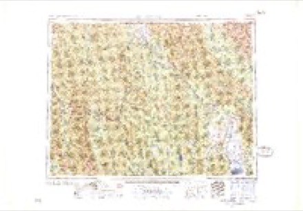
- 1961 USGS Kalispell quadrangle1:250000
- 1962 USGS Kalispell quadrangle1:24000, 3 printings
- 1981 USGS Kalispell quadrangle1:100000
- 1994 USGS Kalispell quadrangle1:24000
Fires near this place
111 since 1992Regional context, not property-specific evidence. The federal wildfire occurrence database lists 111 fires within 5 miles of Kalispell between 1992 and 2020, burning about 213 acres in total. 6 started naturally. None was recorded as arson. Distance is straight-line from the map coordinates, so a fire counted here may appear on a neighbouring settlement's page as well.
| Reported cause | Fires |
|---|---|
| Missing data/not specified/undetermined | 72 |
| Debris and open burning | 24 |
| Natural | 6 |
| Misuse of fire by a minor | 3 |
| Equipment and vehicle use | 2 |
| Smoking | 2 |
| Recreation and ceremony | 2 |
The most recent of them, most recent first, with the day each was reported and the service that recorded it.
| Date | Cause | Size | Reported by | Name on the report |
|---|---|---|---|---|
| 7 September 2002 | Debris and open burning | under an acre | Northwestern Land Office | not named |
| 3 September 2020 | Missing data/not specified/undetermined | under an acre | Flathead County | LOC STEEL BRIDGE ROAD |
| 23 September 1995 | Smoking | under an acre | Northwestern Land Office | LONE PINE |
| 2 September 2020 | Missing data/not specified/undetermined | under an acre | Flathead County | EVG VILLAGE GREENS |
| 18 September 2020 | Missing data/not specified/undetermined | under an acre | Flathead County | 19 WOODLAND PARK DR |
| 1 September 2019 | Missing data/not specified/undetermined | under an acre | Flathead County | HELENA FLATS AT DIRT RD KALISPELL |
| 1 September 1992 | Missing data/not specified/undetermined | under an acre | Northwestern Land Office | WAPATI ACRES |
| 9 August 2019 | Missing data/not specified/undetermined | under an acre | Flathead County | HWY 35 BRIDGE |
Settlements close enough to share some of these fires:
Mines and quarries near this place
7 within 5 milesRegional context, not property-specific evidence. The federal mineral resources record lists 7 workings within 5 miles of Kalispell: 4 producers, 1 occurrence, 1 unknown, 1 past producer. 4 still produce. What was taken out: Sand and Gravel, Construction, Silica, Clay. Distance is straight-line from the map coordinates, so a quarry counted here may appear on a neighbouring settlement's page as well.
| Where | Site | Commodity | Status | Recorded |
|---|---|---|---|---|
| Kalispell | Clay | Unknown | ||
| Unnamed Kaolinitic Clay | Silica | Occurrence | ||
| American Asphalt Pit | Sand and Gravel, Construction | Past Producer | ||
| Carlson Pit | Sand and Gravel, Construction | Producer | ||
| Flathead County Crusher | Sand and Gravel, Construction | Producer | ||
| Mc Elnoy and Wilker Sand & Gravel | Sand and Gravel, Construction | Producer | ||
| Truman Pit | Sand and Gravel, Construction | Producer |
Storms near this place
27 since 1993Regional context, not property-specific evidence. The National Weather Service names Kalispell in 27 storm reports between 1993 and 2022: 14 hail, 9 thunderstorm wind, 2 flood, 1 flash flood. No death or injury is recorded in these reports. Each account below is quoted exactly as the forecast office filed it, from the NOAA Storm Events Database, and each date opens the federal record of that event.
| When | Event | Place named | Harm | What the report says |
|---|---|---|---|---|
| May 1994 | Thunderstorm Wind | Kalispell | $500,000 | Thunderstorms moved northeastward across western Montana downing powerlines, and trees. Several roofs received damage and several mobile homes were destroyed. |
| July 2012 | Thunderstorm Wind | Kalispell | $40,000 | There were 20 reports of wind damage in and around Kalispell. Blown over Trees took power lines down and damaged some houses. In addition, 2115 people were without power for a few hours. |
| August 2013 | Thunderstorm Wind | Kalispell | $25,000 | An 80-foot-tall pine tree fell over on 5th Ave West in Kalispell crushing a Corvette and damaging a truck, car and a boat. |
| July 2004 | Flash Flood | Kalispell | $20,000 | no account filed |
| May 1993 | Thunderstorm Wind | Kalispell | $5,000 | Trees and power lines were knocked down. Several funnel clouds were observed over Flathead Lake. |
| September 1994 | Thunderstorm Wind | Kalispell | $500 | no account filed |
| June 2022 | Flood | Kalispell | - | The Flathead River at Columbia Falls reached minor flood stage on June 12 as Flathead Lake reached full pool, and continued at minor flood stage until June 26. Impacts included groundwater flooding agricultural fields along the Steel Bridge Road. Also water flooded recreational vehicle sites and surrounded some trailer homes just northwest of the Highway 35 bridge over the Flathead River. This event did prompt Flathead County to spin up an Emergency Operations Center with the Sheriff as the IC. |
| July 2017 | Thunderstorm Wind | Kalispell | - | Multiple reports of tree damage and a localized power outage occurred southeast of Kalispell and Evergreen according to a call to the NWS office and via Twitter reports. |
| June 2016 | Hail | Kalispell | - | The public reported quarter-sized hail from a thunderstorm west of Kalispell, MT. |
| June 2016 | Hail | Kalispell | - | The public sent a photo showing multiple hailstones as large as quarters in Kalispell, MT. |
| July 2013 | Hail | Kalispell | - | A right-moving supercell that tracked from just southwest of Marion moved over Kila and Kalispell. A person from the public in Kalispell measured 1 inch hail. |
| August 2013 | Hail | Kalispell | - | A trained spotter northwest of Kalispell reported strong winds with penny size hail. |
| July 2012 | Hail | Kalispell | - | Hail 1 inch in diameter was measured from Kalispell to 3 miles northeast of Kila. |
| June 2011 | Flood | Kalispell | - | The Whitefish River flooded the backyards of four homes and to the base of the foundation of one home in the city of Kalispell. |
| July 2010 | Thunderstorm Wind | Kalispell | - | A trained spotter reported a 12 inch diameter tree blown down onto the road. |
| April 2008 | Tornado (EF0) | Kalispell | - | Public reported sighting of land spout to news media at around 600 PM MDT. Pictures were taken by three different residents in the area confirming location of land spout touch down between 3 Mile Drive and 4 Mile Drive near Kalispell. A possible secondary funnel occurred farther to the northwest. The Land Spout started from a cumulus cloud around 545 PM, touched down at 550 PM and then dissipated shortly after 600 PM MDT. No damage was reported. |
| July 2007 | Hail | Kalispell | - | Nickel size hail was reported covering the ground in Kalispell. Power was also reported out to most of the county. |
| August 2005 | Hail | Kalispell | - | no account filed |
| July 2004 | Hail | Kalispell | - | no account filed |
| July 2004 | Hail | Kalispell | - | no account filed |
| May 2002 | Thunderstorm Wind | Kalispell | - | no account filed |
| June 2000 | Thunderstorm Wind | Kalispell | - | no account filed |
| July 1997 | Hail | Kalispell | - | no account filed |
| August 1997 | Hail | Kalispell | - | no account filed |
| August 1995 | Hail | Kalispell | - | no account filed |
| August 1995 | Hail | Kalispell | - | no account filed |
| August 1995 | Hail | Kalispell | - | no account filed |
Nearest settlements
The eight closest, with where each one stands in the county. Distances are straight-line, computed from the Geographic Names Information System coordinates.
| Map | Place | Distance | Sheets |
|---|---|---|---|
| Meadow Manor Incorporated | 0.7 miles | 11 | |
| Duncan (historical) | 0.9 miles | 11 | |
| Ashley (historical) | 1.1 miles | 11 | |
| Parkdale (historical) | 1.4 miles | 11 | |
| Mar-Le Villa | 1.5 miles | 11 | |
| Northridge Heights | 1.9 miles | 11 | |
| Evergreen | 2.8 miles | 11 | |
| Ridgewood Terrace | 2.9 miles | 11 |
Elsewhere
Matched on this settlement's Geographic Names Information System number rather than its name, so it cannot be a different place of the same name in another state.
| Wikipedia article on Kalispell | An encyclopaedic summary. Its text is share-alike, so it is linked here rather than copied. |
| Wikidata item Q853175 | The structured record the population and elevation above come from. Public domain (CC0). |
Provenance
This settlement is recorded in the Geographic Names Information System as feature 785622. The sheet list is computed by point-in-boundary test against the United States Geological Survey's historical topographic inventory. Both are works of the United States government and carry no copyright under 17 U.S.C. 105.
Wildfire. Short, Karen C. 2022. Spatial wildfire occurrence data for the United States, 1992-2020 [FPA_FOD_20221014]. 6th Edition. Fort Collins, CO: Forest Service Research Data Archive. https://doi.org/10.2737/RDS-2013-0009.6 Collected with United States Government funding and usable without additional permissions or fees.
Mines and quarries. USGS Mineral Resources Data System (MRDS) https://mrdata.usgs.gov/mrds/ A work of the United States government, no copyright under 17 U.S.C. 105.
Storms. NOAA National Centers for Environmental Information, Storm Events Database https://www.ncei.noaa.gov/stormevents/ A work of the United States government, no copyright under 17 U.S.C. 105. Narratives are quoted verbatim from the National Weather Service report and are not edited or summarised.