 Block
Ridgeway, Montana
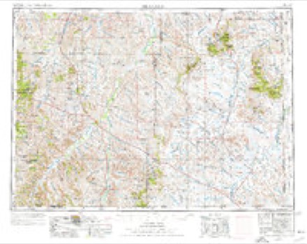
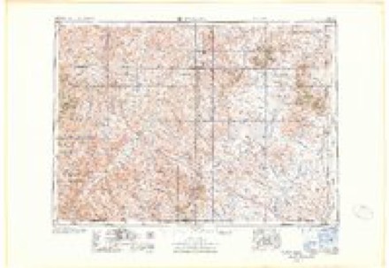
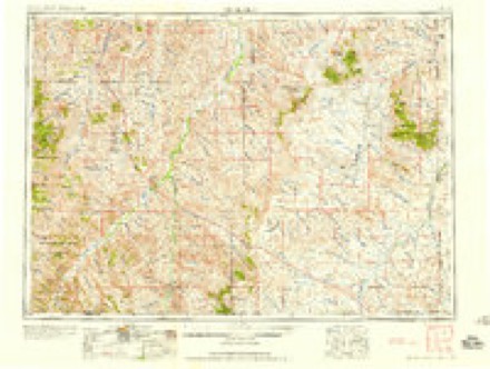
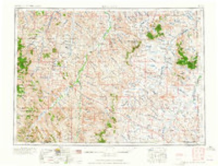
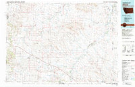
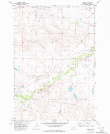
8 topographic sheets cover this place, the earliest surveyed in 1954 and the latest in 1982. It stands in the Alzada-Boyes census division. It lies in ZIP code area 59332. It stands on Corral Creek. The Survey maps it on the Ridgway quadrangle.
Topographic sheets covering this place
6 surveys from 8 printed sheetsMatched by testing this settlement's coordinate against the published boundary of every sheet in the United States Geological Survey's historical collection. Each opens the scanned sheet at the Survey.
- 1954 USGS Ekalaka quadrangle1:250000, 3 printings
- 1956 USGS Ekalaka quadrangle1:250000
- 1958 USGS Ekalaka quadrangle1:250000
- 1965 USGS Ekalaka quadrangle1:250000
- 1981 USGS Alzada quadrangle1:100000
- 1982 USGS Ridgway quadrangle1:24000
Fires near this place
6 since 2007Regional context, not property-specific evidence. The federal wildfire occurrence database lists 6 fires within 5 miles of Ridgeway between 2007 and 2018, burning about 155 acres in total. 6 started naturally. None was recorded as arson. Distance is straight-line from the map coordinates, so a fire counted here may appear on a neighbouring settlement's page as well.
| Reported cause | Fires |
|---|---|
| Natural | 6 |
The most recent of them, most recent first, with the day each was reported and the service that recorded it.
| Date | Cause | Size | Reported by | Name on the report |
|---|---|---|---|---|
| 9 August 2016 | Natural | 112 acres | Miles City Field Office | TAUCK |
| 9 August 2016 | Natural | 3.3 acres | Miles City Field Office | RIDGEWAY |
| 7 August 2016 | Natural | 2.0 acres | Eastern Land Office | GOVERNMENT CREEK - POWDER RIVER |
| 12 August 2007 | Natural | 7.0 acres | Miles City Field Office | MCCARTY |
| 24 July 2014 | Natural | 1.0 acres | Miles City Field Office | LITTLE |
| 17 July 2018 | Natural | 29 acres | Eastern Land Office | ANTABAN |
Settlements close enough to share some of these fires:
Storms near this place
54 since 1996Regional context, not property-specific evidence. The National Weather Service names Ridgeway in 54 storm reports between 1996 and 2025: 29 hail, 18 thunderstorm wind, 3 funnel cloud, 2 flash flood. No death or injury is recorded in these reports. Each account below is quoted exactly as the forecast office filed it, from the NOAA Storm Events Database, and each date opens the federal record of that event.
| When | Event | Place named | Harm | What the report says |
|---|---|---|---|---|
| July 2025 | Thunderstorm Wind | Ridgeway | - | Mesonet station mtekl at 12.1 S Ridgeway. |
| July 2024 | Thunderstorm Wind | Ridgeway | - | Weather spotter had a broken out window in his home. |
| July 2024 | Thunderstorm Wind | Ridgeway | - | Numerous power poles were snapped. |
| July 2024 | Thunderstorm Wind | Ridgeway | - | Winds were estimated at 60 mph. |
| July 2024 | Thunderstorm Wind | Ridgeway | - | Winds of 60 to 70 mph were estimated. |
| June 2023 | Funnel Cloud | Ridgeway | - | A funnel cloud was spotted along Highway 323 at Mile Marker 50. |
| June 2019 | Thunderstorm Wind | Ridgeway | - | A wind gust of 61 mph was recorded 12 miles south of Ridgeway. |
| July 2019 | Tornado (EF1) | Ridgeway | - | During the early morning of July 19th at 12:44am, a tornado briefly touched down 3 miles northeast of Ridgeway in Carter County. The tornado was 100 yards wide and was on the ground for a half a mile. There was considerable damage to buildings on a local ranch. A shop building had 2 doors blown in and roof damage. Two other sheds had significant roof damage. Several metal rooftops were torn off and peeled back. A small garage was destroyed with a vehicle displaced inside, turned and moved by a couple of feet. In addition, several trees were snapped (approximately 1 foot diameter), with other smaller trees blown over or uprooted. |
| June 2018 | Hail | Ridgeway | - | Extensive truck hood damage was reported. |
| June 2018 | Tornado (EF0) | Ridgeway | - | The tornado was on the ground for 10 miles. No damage was visible from the tornado. However, EF-0 microburst damage was observed to the south of the tornado due to the rear flank downdraft; 2 trees uprooted, barn roof blown off, shed destroyed, and a horse trailer flipped over. |
| July 2017 | Thunderstorm Wind | Ridgeway | - | Very strong wind gusts combined with half dollar size hail resulted in extensive crop damage, as well as broken windows to a home. |
| July 2017 | Hail | Ridgeway | - | Very strong wind gusts combined with half dollar size hail resulted in extensive crop damage, as well as broken windows to a home. |
| August 2016 | Hail | Ridgeway | - | Baseball size hail damaged homes, dented cars and damaged pasture ground. |
| August 2016 | Thunderstorm Wind | Ridgeway | - | The storm took out a calving shed along with several windows in two homes. Other homesteads across the area also suffered some broken windows and siding. |
| August 2013 | Hail | Ridgeway | - | The hail stripped siding and screens from a house. |
| August 2013 | Thunderstorm Wind | Ridgeway | - | A thunderstorm wind gust of 65 mph was estimated 7 miles south of Ridgeway. |
| August 2011 | Hail | Ridgeway | - | Quarter to golf ball size hail was reported along with winds estimated at 40 to 50 mph. |
| June 2010 | Flash Flood | Ridgeway | - | Carter County sheriff reported flooding over Hammond Road and along Mile Marker 30 on Highway 323. The Department of Emergency Services and the sheriff reported that 1-4 inches of rain fell over Central Carter County and that Box Elder Creek was running high.|In addition, a county official reported 2.5 inches of rain had fallen in one hour which resulted in flash flooding on Cabin Creek. |
| July 2010 | Hail | Ridgeway | - | There was damage to crops and structures. Winds were estimated at 70 mph. |
| July 2010 | Hail | Ridgeway | - | A Co-Op Observer's home had broken out windows and their was crop damage in the surrounding area. |
| June 2008 | Flash Flood | Ridgeway | - | Hawks Nest Creek was flowing over Highway 323. |
| May 1999 | Funnel Cloud | Ridgeway | - | Public report of four funnel clouds. |
| May 1999 | Hail | Ridgeway | - | Dime size hail was reported in Ridgeway. |
| September 2023 | Thunderstorm Wind | Ridgeway | - | no account filed |
| July 2021 | Thunderstorm Wind | Ridgeway | - | no account filed |
| May 2020 | Hail | Ridgeway | - | no account filed |
| May 2020 | Hail | Ridgeway | - | no account filed |
| May 2020 | Hail | Ridgeway | - | no account filed |
| May 2020 | Hail | Ridgeway | - | no account filed |
| May 2020 | Thunderstorm Wind | Ridgeway | - | no account filed |
| June 2019 | Hail | Ridgeway | - | no account filed |
| June 2018 | Hail | Ridgeway | - | no account filed |
| July 2018 | Hail | Ridgeway | - | no account filed |
| May 2018 | Thunderstorm Wind | Ridgeway | - | no account filed |
| May 2018 | Hail | Ridgeway | - | no account filed |
| August 2018 | Thunderstorm Wind | Ridgeway | - | no account filed |
| June 2018 | Hail | Ridgeway | - | no account filed |
| July 2017 | Thunderstorm Wind | Ridgeway | - | no account filed |
| July 2017 | Hail | Ridgeway | - | no account filed |
| August 2016 | Hail | Ridgeway | - | no account filed |
| August 2016 | Hail | Ridgeway | - | no account filed |
| August 2016 | Funnel Cloud | Ridgeway | - | no account filed |
| August 2014 | Thunderstorm Wind | Ridgeway | - | no account filed |
| June 2014 | Hail | Ridgeway | - | no account filed |
| May 2013 | Hail | Ridgeway | - | no account filed |
| June 2010 | Hail | Ridgeway | - | no account filed |
| June 2010 | Hail | Ridgeway | - | no account filed |
| June 2010 | Hail | Ridgeway | - | no account filed |
| June 2010 | Hail | Ridgeway | - | no account filed |
| June 2005 | Thunderstorm Wind | Ridgeway | - | no account filed |
| August 2005 | Hail | Ridgeway | - | no account filed |
| July 2004 | Hail | Ridgeway | - | no account filed |
| June 1996 | Hail | Ridgeway | - | no account filed |
| June 1996 | Thunderstorm Wind | Ridgeway | - | no account filed |
Nearest settlements
The eight closest, with where each one stands in the county. Distances are straight-line, computed from the Geographic Names Information System coordinates.
| Map | Place | Distance | Sheets |
|---|---|---|---|
| Belltower | 12.7 miles | 8 | |
| Prairie Dale (historical) | 14.6 miles | 8 | |
| Chalk Buttes (historical) | 17.2 miles | 9 | |
| Pershing (historical) | 18.7 miles | 8 | |
| Elgin (historical) | 19.0 miles | 10 | |
| Capitol | 23.9 miles | 9 | |
| Albion | 24.0 miles | 8 | |
| Beaver Flats (historical) | 26.8 miles | 9 |
Provenance
This settlement is recorded in the Geographic Names Information System as feature 775762. The sheet list is computed by point-in-boundary test against the United States Geological Survey's historical topographic inventory. Both are works of the United States government and carry no copyright under 17 U.S.C. 105.
Wildfire. Short, Karen C. 2022. Spatial wildfire occurrence data for the United States, 1992-2020 [FPA_FOD_20221014]. 6th Edition. Fort Collins, CO: Forest Service Research Data Archive. https://doi.org/10.2737/RDS-2013-0009.6 Collected with United States Government funding and usable without additional permissions or fees.
Storms. NOAA National Centers for Environmental Information, Storm Events Database https://www.ncei.noaa.gov/stormevents/ A work of the United States government, no copyright under 17 U.S.C. 105. Narratives are quoted verbatim from the National Weather Service report and are not edited or summarised.