 Block
Sun Prairie, Montana
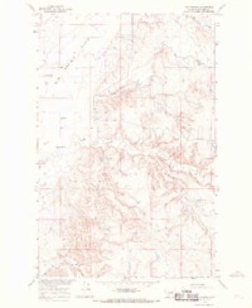
10 topographic sheets cover this place, the earliest surveyed in 1954 and the latest in 1978. It stands in the South Phillips census division. It lies in ZIP code area 59538. The Survey maps it on the Sun Prairie quadrangle.
Topographic sheets covering this place
6 surveys from 10 printed sheetsMatched by testing this settlement's coordinate against the published boundary of every sheet in the United States Geological Survey's historical collection. Each opens the scanned sheet at the Survey.
- 1954 USGS Jordan quadrangle1:250000, 2 printings
- 1956 USGS Jordan quadrangle1:250000
- 1958 USGS Jordan quadrangle1:250000
- 1964 USGS Jordan quadrangle1:250000
- 1965 USGS Sun Prairie quadrangle1:24000, 3 printings
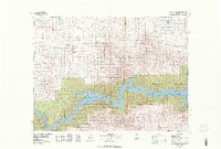
- 1978 USGS Fort Peck Lake West quadrangle1:100000, 2 printings
Storms near this place
24 since 1998Regional context, not property-specific evidence. The National Weather Service names Sun Prairie in 24 storm reports between 1998 and 2025: 13 hail, 7 thunderstorm wind, 2 tornado, 1 heavy rain. No death or injury is recorded in these reports. Each account below is quoted exactly as the forecast office filed it, from the NOAA Storm Events Database, and each date opens the federal record of that event.
| When | Event | Place named | Harm | What the report says |
|---|---|---|---|---|
| July 2014 | Thunderstorm Wind | Sun Prairie | $2,000 | Local newspaper reported two power poles were knocked down. Power failure continued for two hours. |
| July 2008 | Thunderstorm Wind | Sun Prairie | $1,000 | A roof was blown off a shed. |
| July 2025 | Thunderstorm Wind | Sun Prairie | - | Trained spotter reported multiple 6-inch diameter tree limbs broken off, in addition to heavy rain. Wind speed estimated at 60 mph. |
| July 2025 | Thunderstorm Wind | Sun Prairie | - | Cooperative observer reported limb damage from multiple cottonwood trees, intense lightning, heavy rain, and estimated winds gusts of 55-60 mph. |
| July 2021 | Hail | Sun Prairie | - | Public posted a photo via Facebook of hail estimated to be half dollar size. |
| June 2019 | Thunderstorm Wind | Sun Prairie | - | Trained spotter reported 6-inch diameter tree branches blown down. |
| June 2019 | Hail | Sun Prairie | - | Trained spotter reported wind-blown golf ball size hail damaged multiple pickup trucks and several house windows. |
| June 2019 | Hail | Sun Prairie | - | Public reported half dollar size hail, along with heavy rain and 45 mph wind gusts. |
| June 2018 | Funnel Cloud | Sun Prairie | - | Public reported a cold air funnel. |
| July 2017 | Hail | Sun Prairie | - | A member of the public just west of the town of Sun Prairie, reported hail up to the size of golf balls, along with 50 mph wind gusts and heavy rainfall. Time estimated from radar. |
| May 2016 | Hail | Sun Prairie | - | Trained spotter reported mostly nickel and pea sized hail with some as large as quarters. Strong winds also reported. |
| August 2016 | Hail | Sun Prairie | - | Cooperative observer reported mostly pea to dime sized hail with a few quarter sized hail stones. |
| July 2011 | Thunderstorm Wind | Sun Prairie | - | Public estimated a 60 mph wind gust. |
| July 2011 | Hail | Sun Prairie | - | Hail stones up to the size of golf balls were reported. |
| July 2011 | Hail | Sun Prairie | - | Hail up to the size of golf balls fell for 15 to 20 minutes. |
| May 2010 | Hail | Sun Prairie | - | Local residents reported up to ping pong size hail with the storm. The last report at 530 MST reported nickel to quarter size hail. |
| May 2010 | Hail | Sun Prairie | - | Nickel size hail along with heavy rain and wind gusts to 30 mph was initially reported at eight miles north of Fourchette, then half-dollar size hail was reported for 30 minutes 23 miles east-southeast of Zortman. |
| May 2010 | Heavy Rain | Sun Prairie | - | Heavy rain estimated at several inches (radar estimated at five inches) fell mainly in the Second and Third Creek basins in the southern portion of the county resulting in runoff over a roadway (Dry Fork Road). This runoff began during the evening of the 18th and continued into the morning of the 19th. This is only the second time that this has happened in the past twelve years (according to the Trained Spotter). The damaged section of road is about mile east of the Dry Fork Bridge. The force of the runoff carried away a portion of the south shoulder of the road; creating an abrupt drop off about 75 feet long and 3 feet deep. |
| July 2001 | Tornado (F0) | Sun Prairie | - | A tornado developed 11 miles east of Sun Prairie and moved into Valley County. The tornado moved through open prairie and caused no damage. |
| June 2000 | Tornado (F0) | Sun Prairie | - | Boaters near Fourchette Bay boat ramp reported a tornado briefly touching down. |
| July 2008 | Thunderstorm Wind | Sun Prairie | - | no account filed |
| July 2004 | Hail | Sun Prairie | - | no account filed |
| July 1998 | Hail | Sun Prairie | - | no account filed |
| July 1998 | Hail | Sun Prairie | - | no account filed |
Nearest settlements
The eight closest, with where each one stands in the county. Distances are straight-line, computed from the Geographic Names Information System coordinates.
| Map | Place | Distance | Sheets |
|---|---|---|---|
| Box Elder (historical) | 4.3 miles | 9 | |
| First Creek (historical) | 7.2 miles | 8 | |
| X Crossing | 10.0 miles | 9 | |
| Dryer Place | 11.9 miles | 9 | |
| Regina (historical) | 13.9 miles | 9 | |
| Fourchette (historical) | 14.2 miles | 9 | |
| Leedy (historical) | 15.2 miles | 9 | |
| Content | 15.6 miles | 7 |
Provenance
This settlement is recorded in the Geographic Names Information System as feature 777310. The sheet list is computed by point-in-boundary test against the United States Geological Survey's historical topographic inventory. Both are works of the United States government and carry no copyright under 17 U.S.C. 105.
Storms. NOAA National Centers for Environmental Information, Storm Events Database https://www.ncei.noaa.gov/stormevents/ A work of the United States government, no copyright under 17 U.S.C. 105. Narratives are quoted verbatim from the National Weather Service report and are not edited or summarised.