 Block
Utica, Montana
16 topographic sheets cover this place, the earliest surveyed in 1886 and the latest in 1984. It stands in the Hobson census division. It lies in ZIP code area 59452. It lies near Heiserman Coulee. The Survey maps it on the Utica quadrangle.
On record in Utica
Buildings and businesses the archive holds for this place. Each opens its own page, with the source record it came from.
On the National Register 1 record
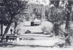 Judith River Ranger Stationlisted 1992
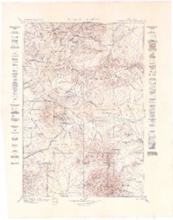
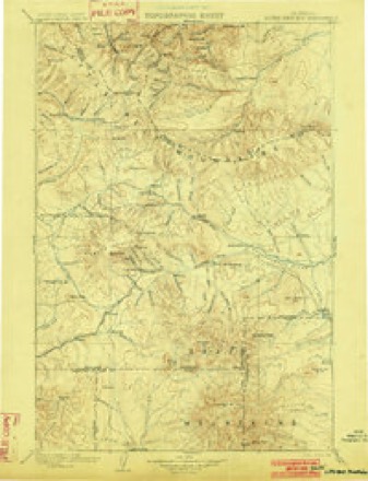
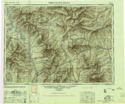
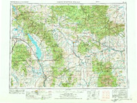
Topographic sheets covering this place
11 surveys from 16 printed sheetsMatched by testing this settlement's coordinate against the published boundary of every sheet in the United States Geological Survey's historical collection. Each opens the scanned sheet at the Survey.
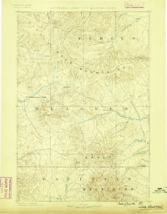
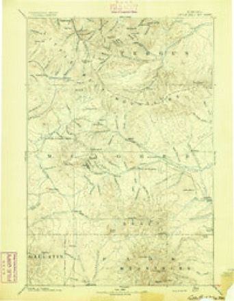
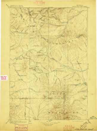
- 1886 USGS Little Belt Mts. quadrangle1:250000
- 1894 USGS Little Belt Mts. quadrangle1:250000, 2 printings
- 1897 USGS Little Belt Mts. quadrangle1:250000
- 1898 USGS Little Belt Mts. quadrangle1:250000
- 1902 USGS Little Belt Mts. quadrangle1:250000, 3 printings
- 1948 USGS White Sulphur Springs quadrangle1:250000
- 1958 USGS White Sulphur Springs quadrangle1:250000, 3 printings
- 1961 USGS White Sulphur Springs quadrangle1:250000
- 1965 USGS White Sulphur Springs quadrangle1:250000
- 1970 USGS Utica quadrangle1:24000
- 1984 USGS White Sulphur Springs quadrangle1:100000
Fires near this place
1 since 2016Regional context, not property-specific evidence. The federal wildfire occurrence database lists 1 fire within 5 miles of Utica in 2016, burning about 108 acres in total. 1 started naturally. None was recorded as arson. Distance is straight-line from the map coordinates, so a fire counted here may appear on a neighbouring settlement's page as well.
| Reported cause | Fires |
|---|---|
| Natural | 1 |
The most recent of them, most recent first, with the day each was reported and the service that recorded it.
| Date | Cause | Size | Reported by | Name on the report |
|---|---|---|---|---|
| 31 August 2016 | Natural | 108 acres | Judith Basin County | DEADMAN COULEE |
Storms near this place
24 since 1997Regional context, not property-specific evidence. The National Weather Service names Utica in 24 storm reports between 1997 and 2025: 16 hail, 3 wildfire, 2 flood, 1 flash flood. No death or injury is recorded in these reports. Each account below is quoted exactly as the forecast office filed it, from the NOAA Storm Events Database, and each date opens the federal record of that event.
| When | Event | Place named | Harm | What the report says |
|---|---|---|---|---|
| June 2025 | Hail | Utica | - | Post event report received via social media. Size estimated from photo of hail in the palm of a hand. |
| May 2019 | Flood | Utica | - | Fergus County Sheriff reported flooding near Utica. Exact duration of flooding unknown. |
| July 2018 | Hail | Utica | - | Spotter 9-miles southwest of Utica reported quarter-size hail and strong winds. |
| July 2013 | Hail | Utica | - | Hail measuring 1.75 inches (golf ball sized) was reported 5 mi SW of Utica, MT. |
| June 2012 | Hail | Utica | - | Golf ball sized hail, measuring 1.75 inches, was reported 7 miles SSW of Utica. |
| May 2011 | Flood | Utica | - | KRTV reports U.S. 487 washed out near Utica in addition to many landowner's private bridges. |
| June 2007 | Hail | Utica | - | A severe thunderstorm dropped 2.75 inch diameter hail at Checkerboard 10NNE. The hail caused damage to automobiles and recreational vehicles at Whitetail Campground (elevation 6500 feet). |
| June 2007 | Hail | Utica | - | A severe thunderstorm dropped 1 inch diameter hail at Utica 17SW. The hail fell for several miles along the south fork of the Judith River between Corral Creek and Hay Canyon. Hail drifts to a depth of 1 foot were reported. |
| June 2007 | Hail | Utica | - | A severe thunderstorm dropped 1 inch diameter hail at Buffalo 12W. |
| June 2004 | Tornado (F0) | Utica | - | A severe thunderstorm moved across southeastern Judith Basin county and western Fergus county during the evening hours of the 5th. This storm produced a tornado that was relatively short lived and that skipped across rural areas causing little damage. The tornado was seen by several motorists as it crossed U.S. Highway 191. |
| July 2002 | Hail | Utica | - | A severe thunderstorm produced 1.00 inch hail near Utica. |
| July 2002 | Hail | Utica | - | A severe thunderstorm produced 0.75 inch hail at Utica 3E. |
| August 2002 | Hail | Utica | - | A severe thunderstorm produced 0.75 inch hail at Utica 2ENE. |
| September 2000 | Wildfire | Utica | - | Judith Complex fire - includes northeast Meagher County, 14600 acres burned, lightning caused, continued from August. |
| July 2000 | Wildfire | Utica | - | Judith Complex fire - also includes Meagher County, 14600 acres burned, lightning caused, continued past July 31. |
| August 2000 | Wildfire | Utica | - | Judith Complex fire - includes northeast Meagher County, 14600 acres burned, lightning caused, continued past August 31. |
| June 1997 | Flash Flood | Utica | - | SEVERAL GRAVEL ROADS WASHED OUT |
| June 2004 | Hail | Utica | - | no account filed |
| June 2003 | Hail | Utica | - | no account filed |
| July 2000 | Hail | Utica | - | no account filed |
| July 2000 | Hail | Utica | - | no account filed |
| August 1999 | Hail | Utica | - | no account filed |
| June 1999 | Thunderstorm Wind | Utica | - | no account filed |
| July 1997 | Hail | Utica | - | no account filed |
Nearest settlements
The eight closest, with where each one stands in the county. Distances are straight-line, computed from the Geographic Names Information System coordinates.
| Map | Place | Distance | Sheets |
|---|---|---|---|
| Philbrook (historical) | 6.4 miles | 11 | |
| Lehigh | 8.0 miles | 13 | |
| Windham | 8.0 miles | 13 | |
| Scholtztown | 8.6 miles | 13 | |
| Benchland | 8.6 miles | 13 | |
| Sapphire Village | 10.0 miles | 18 | |
| Moccasin | 11.3 miles | 8 | |
| Hobson | 11.7 miles | 8 |
Provenance
This settlement is recorded in the Geographic Names Information System as feature 777954. The sheet list is computed by point-in-boundary test against the United States Geological Survey's historical topographic inventory. Both are works of the United States government and carry no copyright under 17 U.S.C. 105.
Wildfire. Short, Karen C. 2022. Spatial wildfire occurrence data for the United States, 1992-2020 [FPA_FOD_20221014]. 6th Edition. Fort Collins, CO: Forest Service Research Data Archive. https://doi.org/10.2737/RDS-2013-0009.6 Collected with United States Government funding and usable without additional permissions or fees.
Storms. NOAA National Centers for Environmental Information, Storm Events Database https://www.ncei.noaa.gov/stormevents/ A work of the United States government, no copyright under 17 U.S.C. 105. Narratives are quoted verbatim from the National Weather Service report and are not edited or summarised.