 Block
Washoe, Montana
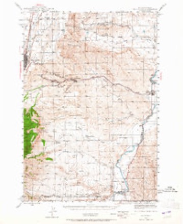
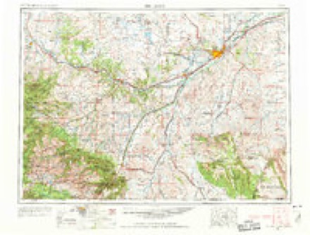
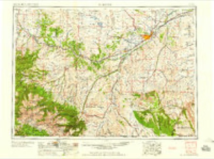
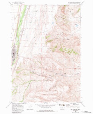
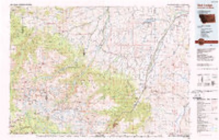
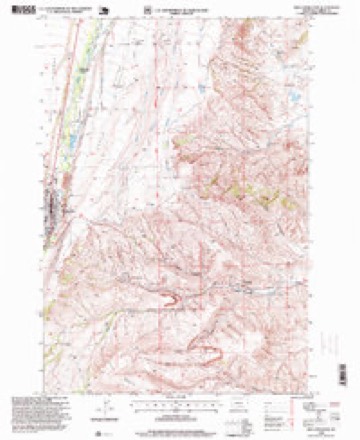
15 topographic sheets cover this place, the earliest surveyed in 1944 and the latest in 1996. It stands in the Red Lodge census division. It lies in ZIP code area 59007. The Survey maps it on the Red Lodge East quadrangle.
Topographic sheets covering this place
7 surveys from 15 printed sheetsMatched by testing this settlement's coordinate against the published boundary of every sheet in the United States Geological Survey's historical collection. Each opens the scanned sheet at the Survey.
- 1944 USGS Red Lodge quadrangle1:62500, 3 printings
- 1954 USGS Billings quadrangle1:250000, 4 printings
- 1957 USGS Billings quadrangle1:250000
- 1958 USGS Billings quadrangle1:250000, 2 printings
- 1969 USGS Red Lodge East quadrangle1:24000, 3 printings
- 1989 USGS Red Lodge quadrangle1:100000
- 1996 USGS Red Lodge East quadrangle1:24000
Fires near this place
23 since 1996Regional context, not property-specific evidence. The federal wildfire occurrence database lists 23 fires within 5 miles of Washoe between 1996 and 2019, burning about 553 acres in total. 12 started naturally. None was recorded as arson. Distance is straight-line from the map coordinates, so a fire counted here may appear on a neighbouring settlement's page as well.
| Reported cause | Fires |
|---|---|
| Natural | 12 |
| Recreation and ceremony | 3 |
| Fireworks | 2 |
| Debris and open burning | 2 |
| Missing data/not specified/undetermined | 2 |
| Other causes | 1 |
| Smoking | 1 |
The most recent of them, most recent first, with the day each was reported and the service that recorded it.
| Date | Cause | Size | Reported by | Name on the report |
|---|---|---|---|---|
| 23 September 2007 | Smoking | 2.0 acres | Custer Gallatin National Forest | BEARCREEK ASSIST |
| 1 September 2014 | Recreation and ceremony | under an acre | Billings Field Office | GROVE CREEK |
| 26 August 2011 | Natural | 1.2 acres | Custer Gallatin National Forest | MOUNT MAURICE |
| 26 August 2011 | Natural | under an acre | Custer Gallatin National Forest | JAKE |
| 21 August 1998 | Natural | under an acre | Custer Gallatin National Forest | FENCE POST |
| 15 August 2006 | Natural | 2.0 acres | Custer Gallatin National Forest | MT MAURICE |
| 14 August 1996 | Natural | under an acre | Custer Gallatin National Forest | PALISADES |
| 11 August 2010 | Natural | under an acre | Billings Field Office | LITTLE |
Settlements close enough to share some of these fires:
Mines and quarries near this place
5 within 5 milesRegional context, not property-specific evidence. The federal mineral resources record lists 5 workings within 5 miles of Washoe: 3 occurrences, 1 producer, 1 prospect. 1 still produces. What was taken out: Gold, Silver, Uranium, Chromium. Distance is straight-line from the map coordinates, so a quarry counted here may appear on a neighbouring settlement's page as well.
| Where | Site | Commodity | Status | Recorded |
|---|---|---|---|---|
| Red Lodge | Chromium | Producer | Chromite, Magnetite | |
| Bay Horse | Silver, Gold | Prospect | ||
| North Grove Creek Prospect | Gold, Silver | Occurrence | ||
| Weaver Property | Uranium | Occurrence | ||
| Weaver Property | Uranium | Occurrence |
Storms near this place
1 since 2011Regional context, not property-specific evidence. The National Weather Service names Washoe in 1 storm report in 2011: 1 flood. The reports record 1 death. Each account below is quoted exactly as the forecast office filed it, from the NOAA Storm Events Database, and each date opens the federal record of that event.
| When | Event | Place named | Harm | What the report says |
|---|---|---|---|---|
| May 2011 | Flood | Washoe | 1 killed, $1,000,000 | Significant flooding occurred on creeks and streams across Carbon County with numerous county roads flooded, closing roads and resulting in significant damage. Emergency Travel only was advised at one point due to the severity of the flooding. Specifically, Rock Creek flooded, resulting in adjacent lowland flooding and closure of Grape Vine Road near Fromberg. Creeks were running out of their banks from the Beartooth Foothills between McLeod and Red Lodge, as well as tributaries of the Clarks Fork of the Yellowstone River from Belfry to Bridger. Five Mile Creek flooded and washed out the bridge on East Pryor Road between Edgar and Pryor. Blue Water Creek east of Bridger flooded and washed out a county road as well. The heavy rainfall also resulted in water running over the spillway at Cooney Dam. This resulted in several homes flooded along Red Lodge Creek. ||On May 25th, significant flooding was reported in the town of Joliet as debris backed up Rock Creek resulting in evacuations. At the peak of this flooding, Highway 212 was closed from Rockvale to Red Lodge as 18 inches of water was reported on Highway 212 through the town of Joliet. Fifty homes flooded in the area and seven people, mainly elderly, had to leave with the assistance of the fire and sheriffs offices. The Joliet Motel reported a foot of water in each of their rooms. ||In addition, an 84-year-old woman drowned after she fell into a flooded ditch near her house. She was going to get her newspaper when she slipped and fell. The woman was swept a short distance downstream from her house near Boyd, where authorities found her body.||Damage estimates based on FEMA reviews and Individual Assistance approvals. |
Nearest settlements
The eight closest, with where each one stands in the county. Distances are straight-line, computed from the Geographic Names Information System coordinates.
| Map | Place | Distance | Sheets |
|---|---|---|---|
| Caledonia (historical) | 0.0 miles | 15 | |
| Scotch Coulee (historical) | 0.0 miles | 15 | |
| Red Lodge | 2.3 miles | 15 | |
| Bearcreek | 3.0 miles | 15 | |
| Eagle (historical) | 3.7 miles | 15 | |
| Fox | 7.8 miles | 10 | |
| Richel Lodge | 10.3 miles | 15 | |
| Belfry | 11.1 miles | 12 |
Provenance
This settlement is recorded in the Geographic Names Information System as feature 792857. The sheet list is computed by point-in-boundary test against the United States Geological Survey's historical topographic inventory. Both are works of the United States government and carry no copyright under 17 U.S.C. 105.
Wildfire. Short, Karen C. 2022. Spatial wildfire occurrence data for the United States, 1992-2020 [FPA_FOD_20221014]. 6th Edition. Fort Collins, CO: Forest Service Research Data Archive. https://doi.org/10.2737/RDS-2013-0009.6 Collected with United States Government funding and usable without additional permissions or fees.
Mines and quarries. USGS Mineral Resources Data System (MRDS) https://mrdata.usgs.gov/mrds/ A work of the United States government, no copyright under 17 U.S.C. 105.
Storms. NOAA National Centers for Environmental Information, Storm Events Database https://www.ncei.noaa.gov/stormevents/ A work of the United States government, no copyright under 17 U.S.C. 105. Narratives are quoted verbatim from the National Weather Service report and are not edited or summarised.