 Block
Guelph, North Dakota
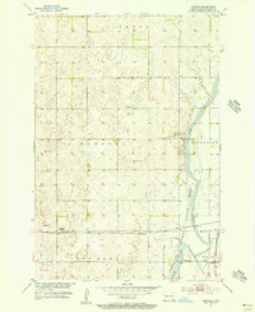
13 topographic sheets cover this place, the earliest surveyed in 1894 and the latest in 1986. It stands in Port Emma Township. It lies in ZIP code area 58474. The Survey maps it on the Guelph quadrangle.
Topographic sheets covering this place
7 surveys from 13 printed sheetsMatched by testing this settlement's coordinate against the published boundary of every sheet in the United States Geological Survey's historical collection. Each opens the scanned sheet at the Survey.
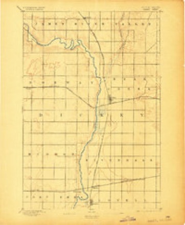
- 1894 USGS Oakes quadrangle1:62500, 2 printings
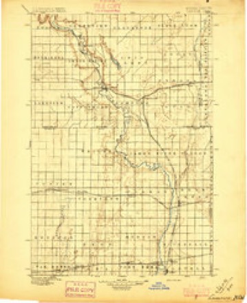
- 1895 USGS Lamoure quadrangle1:125000, 2 printings
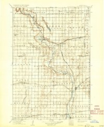
- 1918 USGS La Moure quadrangle1:125000, 2 printings
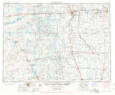
- 1953 USGS Jamestown quadrangle1:250000, 3 printings
- 1955 USGS Guelph quadrangle1:24000
- 1956 USGS Jamestown quadrangle1:250000
- 1986 USGS La Moure quadrangle1:100000, 2 printings
Storms near this place
15 since 1997Regional context, not property-specific evidence. The National Weather Service names Guelph in 15 storm reports between 1997 and 2020: 9 hail, 2 tornado, 2 thunderstorm wind, 1 flash flood. No death or injury is recorded in these reports. Each account below is quoted exactly as the forecast office filed it, from the NOAA Storm Events Database, and each date opens the federal record of that event.
| When | Event | Place named | Harm | What the report says |
|---|---|---|---|---|
| May 2008 | Tornado (EF0) | Guelph | $10,000 | The Dickey County Emergency Manager conducted a storm survey in the area and found evidence of a weak tornado. Tree branches were broken in parts of tree rows. No other structures were impacted. This was the first of three tornadoes in Dickey County this evening. An EF scale rating of middle EF0 was assigned with estimated wind speeds around 75 mph. |
| May 2008 | Tornado (EF0) | Guelph | $10,000 | A Dickey County Deputy Sheriff originally reported this tornado and indicated that it was visible only as debris rotating on the ground with little if any visible condensation funnel. The Dickey County Emergency Manager later conducted a storm damage survey. There was minor damage to one side of a farm house near the tornado starting point about 4 miles northwest of Guelph. No other damage was observed as the tornado then remained over open areas. This was the second of three tornadoes in Dickey County this evening. An EF scale rating of higher end EF0 was assigned with estimated wind speeds around 80 mph. |
| June 2013 | Hail | Guelph | - | Crop damage from hail was reported. |
| August 2010 | Thunderstorm Wind | Guelph | - | An estimated wind gust of 60 mph was received. |
| July 2000 | Flash Flood | Guelph | - | In a one hour period 1.55 inches of rain fell causing urban flooding. |
| May 1997 | Hail | Guelph | - | 0.75 INCH HAIL |
| August 2020 | Hail | Guelph | - | no account filed |
| June 2020 | Funnel Cloud | Guelph | - | no account filed |
| September 2013 | Hail | Guelph | - | no account filed |
| September 2013 | Hail | Guelph | - | no account filed |
| May 2010 | Hail | Guelph | - | no account filed |
| July 2010 | Hail | Guelph | - | no account filed |
| June 2008 | Thunderstorm Wind | Guelph | - | no account filed |
| June 2002 | Hail | Guelph | - | no account filed |
| July 2000 | Hail | Guelph | - | no account filed |
Nearest settlements
The eight closest, with where each one stands in the county. Distances are straight-line, computed from the Geographic Names Information System coordinates.
| Map | Place | Distance | Sheets |
|---|---|---|---|
| Port Emma (historical) | 4.3 miles | 13 | |
| Hudson (historical) | 5.0 miles | 13 | |
| Eaton (historical) | 5.2 miles | 13 | |
| Ludden | 5.9 miles | 13 | |
| Silverleaf | 7.7 miles | 13 | |
| Clement | 9.1 miles | 13 | |
| Norway | 9.3 miles | 13 | |
| Oakes | 11.1 miles | 13 |
Provenance
This settlement is recorded in the Geographic Names Information System as feature 1029254. The sheet list is computed by point-in-boundary test against the United States Geological Survey's historical topographic inventory. Both are works of the United States government and carry no copyright under 17 U.S.C. 105.
Storms. NOAA National Centers for Environmental Information, Storm Events Database https://www.ncei.noaa.gov/stormevents/ A work of the United States government, no copyright under 17 U.S.C. 105. Narratives are quoted verbatim from the National Weather Service report and are not edited or summarised.