 Block
Hamar, North Dakota
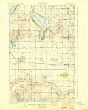
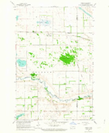
10 topographic sheets cover this place, the earliest surveyed in 1930 and the latest in 1985. It stands in Freeborn Township. It lies in ZIP code area 58380. The Survey maps it on the Hamar quadrangle.
Topographic sheets covering this place
7 surveys from 10 printed sheetsMatched by testing this settlement's coordinate against the published boundary of every sheet in the United States Geological Survey's historical collection. Each opens the scanned sheet at the Survey.
- 1930 USGS Hamar quadrangle1:62500
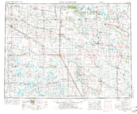
- 1952 USGS New Rockford quadrangle1:250000, 3 printings
- 1956 USGS New Rockford quadrangle1:250000
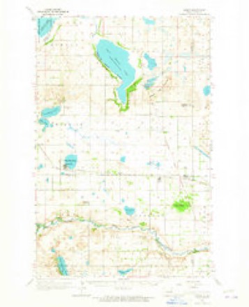
- 1962 USGS Hamar quadrangle1:62500
- 1962 USGS Hamar quadrangle1:24000
- 1971 USGS New Rockford quadrangle1:250000
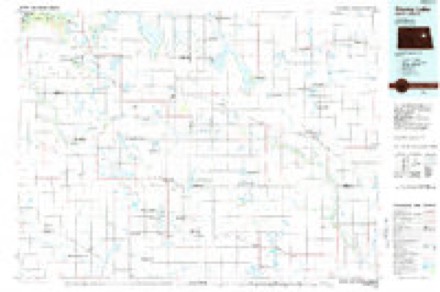
- 1985 USGS Stump Lake quadrangle1:100000, 2 printings
Fires near this place
17 since 1996Regional context, not property-specific evidence. The federal wildfire occurrence database lists 17 fires within 5 miles of Hamar between 1996 and 2019, burning about 464 acres in total. None started naturally. 16 were recorded as arson. Distance is straight-line from the map coordinates, so a fire counted here may appear on a neighbouring settlement's page as well.
| Reported cause | Fires |
|---|---|
| Arson/incendiarism | 16 |
| Debris and open burning | 1 |
The most recent of them, most recent first, with the day each was reported and the service that recorded it.
| Date | Cause | Size | Reported by | Name on the report |
|---|---|---|---|---|
| 20 August 2019 | Arson/incendiarism | 4.3 acres | Fort Totten Agency | BATTLE LAKE |
| 13 August 2013 | Debris and open burning | 1.5 acres | Fort Totten Agency | STANDS |
| 10 August 2012 | Arson/incendiarism | 4.0 acres | Fort Totten Agency | BAYLER |
| 4 May 2018 | Arson/incendiarism | 40 acres | Fort Totten Agency | PORCUPINE |
| 3 May 2002 | Arson/incendiarism | 2.0 acres | Fort Totten Agency | MS2701 |
| 21 May 2019 | Arson/incendiarism | under an acre | Fort Totten Agency | TRUCK |
| 15 May 2019 | Arson/incendiarism | 3.0 acres | Fort Totten Agency | HERO |
| 15 May 2012 | Arson/incendiarism | 1.0 acres | Fort Totten Agency | POTATO |
Storms near this place
60 of 69 shownRegional context, not property-specific evidence. The National Weather Service names Hamar in 69 storm reports between 1997 and 2025: 34 thunderstorm wind, 25 hail, 5 tornado, 5 flash flood. No death or injury is recorded in these reports. Each account below is quoted exactly as the forecast office filed it, from the NOAA Storm Events Database, and each date opens the federal record of that event.
| When | Event | Place named | Harm | What the report says |
|---|---|---|---|---|
| June 2000 | Flash Flood | Hamar | $100,000 | County roads were washed out around the Hamar area, after heavy rain fell across portions of Eddy county. At Camp Grafton South, 10 to 17 inches of rain fell, causing tents to collapse. The 220 soldiers were forced to endure a wet night . |
| July 2018 | Tornado (EF2) | Hamar | $50,000 | A tornado likely initiated in a bowing section of a squall line over central Eddy Township, in Eddy County. The tornado tracked for about three miles to the north-northeast, ending around one mile northeast of Warwick in Benson County. Roughly half the track was in Eddy County and half in Benson County. roofing material was blown off of homes and farm buildings. Several power poles were snapped. Peak winds were estimated at 115 mph. |
| June 2017 | Tornado (EF0) | Hamar | $10,000 | This weak tornado crossed the southern end of Lake Washington, where a condensation plume was observed. Large branches were broken off of trees on either side of the lake, otherwise no significant damage was noted. Peak winds were estimated at 85 mph. |
| August 2000 | Thunderstorm Wind | Hamar | $500 | Large branches were blown down by the strong wind. |
| June 2025 | Hail | Hamar | - | Photo received via social media. Largest hail stone estimated to be almost to golf ball sized, most of which were irregular and jagged shaped. |
| July 2025 | Hail | Hamar | - | Report from public of half dollar size hail. |
| June 2025 | Thunderstorm Wind | Hamar | - | NDAWN station at McHenry reported a wind gust of 72 mph at the 3 meter height. |
| July 2022 | Thunderstorm Wind | Hamar | - | A large section of metal roofing was torn from a pole shed. Report and photo was posted via social media, with time estimated based on radar. |
| June 2021 | Thunderstorm Wind | Hamar | - | Wind gust of 58 mph reported via NDAWN. |
| July 2021 | Thunderstorm Wind | Hamar | - | Peak wind measured at an NDAWN station at 3 meters. |
| August 2021 | Hail | Hamar | - | Trained spotter reported very heavy rain along with quarter to half-dollar sized hail. |
| July 2019 | Thunderstorm Wind | Hamar | - | Large branches were blown down at farmsteads and tree claims throughout central Colvin Township. |
| May 2019 | Thunderstorm Wind | Hamar | - | Sustained winds of 45 mph with a gust to 72 mph were reported by the McHenry NDAWN mesonet station. |
| June 2019 | Thunderstorm Wind | Hamar | - | Large branches were blown down by the strong wind. Heavy rain and pea to dime sized hail also fell across northern Freeborn Township. |
| July 2018 | Thunderstorm Wind | Hamar | - | The wind gust was measured by a NDAWN mesonet sensor along highway 20. Widespread tree damage was reported throughout central Colvin Township. |
| June 2018 | Thunderstorm Wind | Hamar | - | The wind gust was measured by a NDAWN mesonet wind sensor. |
| June 2017 | Thunderstorm Wind | Hamar | - | The wind gust was measured by the NDAWN station 8 miles north of McHenry. |
| July 2017 | Hail | Hamar | - | Dime to half dollar sized hail fell. |
| June 2016 | Thunderstorm Wind | Hamar | - | The wind gust was measured by an NDSU NDAWN weather sensor. |
| June 2016 | Thunderstorm Wind | Hamar | - | The wind gust was measured by a NDAWN mesonet sensor. |
| July 2016 | Thunderstorm Wind | Hamar | - | The wind gust was measured by the NDAWN mesonet site eight miles north of McHenry, ND, along highway 15. There was a prior measurement of 69 mph at 545 pm CDT. |
| July 2015 | Thunderstorm Wind | Hamar | - | An NDAWN mesonet station eight miles north of McHenry reported the peak wind gust. |
| July 2014 | Thunderstorm Wind | Hamar | - | The peak wind was reported at the NDAWN station near highway 20, midway between McHenry and Hamar. |
| August 2012 | Thunderstorm Wind | Hamar | - | Corn crops were flattened and several branches were blown down. |
| August 2012 | Thunderstorm Wind | Hamar | - | A nearby NDAWN sensor at a four meter height measured peak winds of 57 mph. A representative ten meter height wind would be in excess of 58 mph. |
| August 2012 | Thunderstorm Wind | Hamar | - | The peak wind was measured at the NDAWN mesonet site located ten miles north of McHenry. |
| June 2011 | Thunderstorm Wind | Hamar | - | The wind gust was measured at the NDAWN mesonet station located 8 miles north of McHenry. |
| June 2011 | Thunderstorm Wind | Hamar | - | Cattle pens were damaged and a large tank was blown across the road. |
| June 2008 | Thunderstorm Wind | Hamar | - | The wind gust was measured at an NDAWN mesonet site along highway 20. |
| June 2008 | Thunderstorm Wind | Hamar | - | The wind knocked down two inch diameter branches. |
| June 2008 | Thunderstorm Wind | Hamar | - | The wind knocked down numerous three to four inch diameter tree branches. |
| September 2008 | Flash Flood | Hamar | - | Water accumulated in the basement of a resident. |
| June 2008 | Thunderstorm Wind | Hamar | - | The wind was measured by the NDAWN wind sensor along Highway 20. |
| August 2007 | Thunderstorm Wind | Hamar | - | The wind gust was measured at a NDAWN mesonet site 10 miles north of McHenry, at the intersection of highways 20 and 15. |
| June 2006 | Thunderstorm Wind | Hamar | - | 4 to 6 inch diameter tree branches were broken off. |
| June 2005 | Tornado (F0) | Hamar | - | Intermittent touchdowns occurred in open fields along the Benson-Eddy county line. |
| June 2005 | Thunderstorm Wind | Hamar | - | Large branches were blown down and a few shingles were torn off a barn roof. |
| July 2005 | Thunderstorm Wind | Hamar | - | Several large trees were blown down. |
| June 2004 | Thunderstorm Wind | Hamar | - | A nearby NDSU mesonet wind sensor measured a wind gust of 57 mph. |
| July 2003 | Thunderstorm Wind | Hamar | - | Large tree branches were broken off and smaller trees severely bent by the strong wind. |
| July 2003 | Thunderstorm Wind | Hamar | - | A NDAWN mesonet wind sensor reported a 63 mph wind gust. |
| July 2001 | Flash Flood | Hamar | - | Water was reported over a county road. |
| September 2000 | Flash Flood | Hamar | - | Flooding was reported in Hamar. |
| June 1999 | Tornado (F0) | Hamar | - | Twin tornadoes were reported. |
| July 2020 | Hail | Hamar | - | no account filed |
| June 2020 | Hail | Hamar | - | no account filed |
| June 2017 | Hail | Hamar | - | no account filed |
| August 2016 | Hail | Hamar | - | no account filed |
| September 2008 | Thunderstorm Wind | Hamar | - | no account filed |
| September 2008 | Hail | Hamar | - | no account filed |
| August 2008 | Hail | Hamar | - | no account filed |
| July 2008 | Hail | Hamar | - | no account filed |
| July 2005 | Hail | Hamar | - | no account filed |
| July 2005 | Hail | Hamar | - | no account filed |
| July 2004 | Hail | Hamar | - | no account filed |
| September 2004 | Hail | Hamar | - | no account filed |
| July 2003 | Hail | Hamar | - | no account filed |
| July 2003 | Hail | Hamar | - | no account filed |
| June 2003 | Hail | Hamar | - | no account filed |
| June 2003 | Hail | Hamar | - | no account filed |
Nearest settlements
The eight closest, with where each one stands in the county. Distances are straight-line, computed from the Geographic Names Information System coordinates.
Provenance
This settlement is recorded in the Geographic Names Information System as feature 1029286. The sheet list is computed by point-in-boundary test against the United States Geological Survey's historical topographic inventory. Both are works of the United States government and carry no copyright under 17 U.S.C. 105.
Wildfire. Short, Karen C. 2022. Spatial wildfire occurrence data for the United States, 1992-2020 [FPA_FOD_20221014]. 6th Edition. Fort Collins, CO: Forest Service Research Data Archive. https://doi.org/10.2737/RDS-2013-0009.6 Collected with United States Government funding and usable without additional permissions or fees.
Storms. NOAA National Centers for Environmental Information, Storm Events Database https://www.ncei.noaa.gov/stormevents/ A work of the United States government, no copyright under 17 U.S.C. 105. Narratives are quoted verbatim from the National Weather Service report and are not edited or summarised.