 Block
Kelso, North Dakota
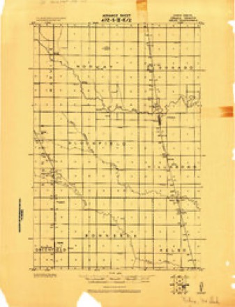
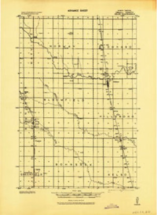
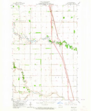
11 topographic sheets cover this place, the earliest surveyed in 1918 and the latest in 1985. It stands in Kelso Township. It lies in ZIP code area 58045. The Survey maps it on the Kelso quadrangle.
Topographic sheets covering this place
7 surveys from 11 printed sheetsMatched by testing this settlement's coordinate against the published boundary of every sheet in the United States Geological Survey's historical collection. Each opens the scanned sheet at the Survey.
- 1918 USGS Kelso quadrangle1:62500
- 1943 USGS Kelso quadrangle1:62500
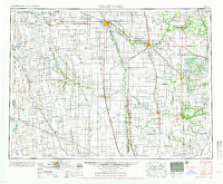
- 1952 USGS Grand Forks quadrangle1:250000, 3 printings
- 1956 USGS Grand Forks quadrangle1:250000
- 1963 USGS Kelso quadrangle1:24000, 2 printings
- 1966 USGS Grand Forks quadrangle1:250000
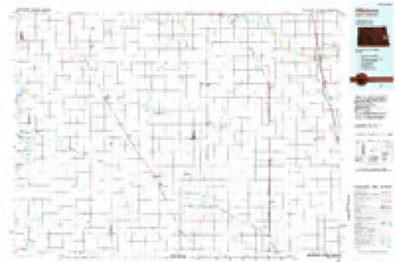
- 1985 USGS Hillsboro quadrangle1:100000, 2 printings
Fires near this place
8 since 2005Regional context, not property-specific evidence. The federal wildfire occurrence database lists 8 fires within 5 miles of Kelso between 2005 and 2016, burning about 341 acres in total. None started naturally. None was recorded as arson. Distance is straight-line from the map coordinates, so a fire counted here may appear on a neighbouring settlement's page as well.
| Reported cause | Fires |
|---|---|
| Debris and open burning | 6 |
| Railroad operations and maintenance | 1 |
| Missing data/not specified/undetermined | 1 |
The most recent of them, most recent first, with the day each was reported and the service that recorded it.
| Date | Cause | Size | Reported by | Name on the report |
|---|---|---|---|---|
| 8 August 2016 | Missing data/not specified/undetermined | 2.0 acres | North Dakota State Forest Service | 1608019 |
| 6 May 2005 | Debris and open burning | 15 acres | North Dakota State Forest Service | not named |
| 5 May 2005 | Debris and open burning | 5.0 acres | North Dakota State Forest Service | not named |
| 5 May 2005 | Debris and open burning | 150 acres | North Dakota State Forest Service | not named |
| 18 May 2016 | Debris and open burning | 4.0 acres | North Dakota State Forest Service | 1605009 |
| 8 April 2005 | Debris and open burning | 150 acres | North Dakota State Forest Service | not named |
| 7 April 2005 | Debris and open burning | 10 acres | North Dakota State Forest Service | not named |
| 24 April 2016 | Railroad operations and maintenance | 5.0 acres | North Dakota State Forest Service | 1604009 |
Settlements close enough to share some of these fires:
Storms near this place
21 since 1998Regional context, not property-specific evidence. The National Weather Service names Kelso in 21 storm reports between 1998 and 2025: 10 thunderstorm wind, 6 hail, 2 tornado, 1 lightning. No death or injury is recorded in these reports. Each account below is quoted exactly as the forecast office filed it, from the NOAA Storm Events Database, and each date opens the federal record of that event.
| When | Event | Place named | Harm | What the report says |
|---|---|---|---|---|
| July 2011 | Tornado (EF1) | Kelso | $20,000 | This tornado touched down briefly in a farmyard and tracked southward for about one-half mile before lifting. The tornado tore off part of the house eaves and numerous shingles. It also spread sections of a ground based solar collector around the farmyard. Only small branches were broken down in the poplar trees to the northeast of the farmyard. Peak winds were estimated at 95 mph. |
| August 2000 | Lightning | Kelso | $10,000 | Lightning struck a Chevrolet Blazer traveling northbound on Interstate 29, entering the vehicle through the radio antenna. The strike caused the vehicle to jump about a foot in the air. The tires blew out on one side of the vehicle, causing the driver to lose control. The strike killed the motor, cracked the front windshield, and left burn marks in different spots on the vehicle. The strike exited the vehicle through the four tires, and gouged holes in the interstate concrete. The ND DOT had to fill the one foot deep craters before traffic could resume normal operation. Neither of the two occupants were injured. |
| June 2025 | Thunderstorm Wind | Kelso | - | NDAWN site reported a 78 mph wind gust 5 ENE Kelso. Mesonet station 324209 Hillsboro ND NDAWN. |
| June 2025 | Thunderstorm Wind | Kelso | - | Mesonet station 324209 ndawn. |
| August 2019 | Funnel Cloud | Kelso | - | A funnel cloud was observed between Hillsboro and Gardner. |
| June 2017 | Thunderstorm Wind | Kelso | - | Vehicles were pulled over to the side of Interstate 29 due to very limited visibility in heavy rain and strong winds. |
| July 2017 | Thunderstorm Wind | Kelso | - | The wind gust was measured by a NDAWN sensor. |
| July 2014 | Thunderstorm Wind | Kelso | - | The top four feet of two forty foot evergreen trees were broken off and an older tree was blown down. |
| July 2014 | Thunderstorm Wind | Kelso | - | The peak wind was measured by the NDAWN station seven miles southeast of Hillsboro. |
| June 2013 | Hail | Kelso | - | Dime to quarter sized hail covered the sides of Interstate 29 north of Grandin. |
| May 2011 | Thunderstorm Wind | Kelso | - | The wind gust was measured by the Hillsboro NDAWN mesonet sensor. |
| June 2010 | Thunderstorm Wind | Kelso | - | Several large tree limbs were broken down in shelterbelts. |
| June 2007 | Thunderstorm Wind | Kelso | - | A semi, towing two trailers at mile marker 97 on Interstate 29, had its second trailer blown on its side into the median by the strong straight line winds. |
| September 2005 | Flash Flood | Kelso | - | Over two inches of rain fell in an hour. Farm yards and fields were flooded. |
| July 2009 | Hail | Kelso | - | no account filed |
| June 2008 | Thunderstorm Wind | Kelso | - | no account filed |
| May 2007 | Hail | Kelso | - | no account filed |
| September 2005 | Hail | Kelso | - | no account filed |
| September 2005 | Hail | Kelso | - | no account filed |
| July 2001 | Hail | Kelso | - | no account filed |
| June 1998 | Tornado (F0) | Kelso | - | no account filed |
Nearest settlements
The eight closest, with where each one stands in the county. Distances are straight-line, computed from the Geographic Names Information System coordinates.
Provenance
This settlement is recorded in the Geographic Names Information System as feature 1029725. The sheet list is computed by point-in-boundary test against the United States Geological Survey's historical topographic inventory. Both are works of the United States government and carry no copyright under 17 U.S.C. 105.
Wildfire. Short, Karen C. 2022. Spatial wildfire occurrence data for the United States, 1992-2020 [FPA_FOD_20221014]. 6th Edition. Fort Collins, CO: Forest Service Research Data Archive. https://doi.org/10.2737/RDS-2013-0009.6 Collected with United States Government funding and usable without additional permissions or fees.
Storms. NOAA National Centers for Environmental Information, Storm Events Database https://www.ncei.noaa.gov/stormevents/ A work of the United States government, no copyright under 17 U.S.C. 105. Narratives are quoted verbatim from the National Weather Service report and are not edited or summarised.