 Block
Kempton, North Dakota
11 topographic sheets cover this place, the earliest surveyed in 1936 and the latest in 1985. It stands in Avon Township. It lies in ZIP code area 58267. The Survey maps it on the Kempton quadrangle.
On record in Kempton
Buildings and businesses the archive holds for this place. Each opens its own page, with the source record it came from.
On the National Register 1 record
- Carlott Funseth Round Barnlisted 1986
Topographic sheets covering this place
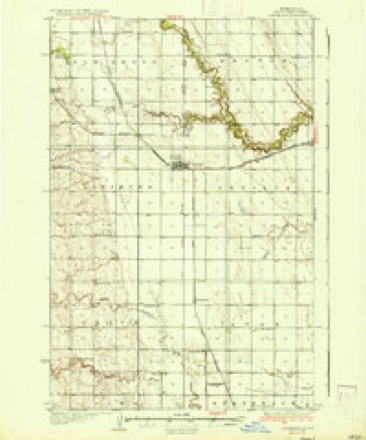
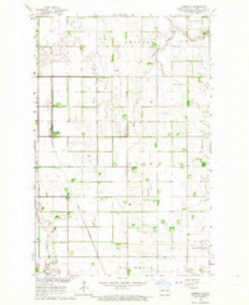
6 surveys from 11 printed sheetsMatched by testing this settlement's coordinate against the published boundary of every sheet in the United States Geological Survey's historical collection. Each opens the scanned sheet at the Survey.
- 1936 USGS Larimore quadrangle1:62500, 3 printings
- 1952 USGS Grand Forks quadrangle1:250000, 3 printings
- 1956 USGS Grand Forks quadrangle1:250000
- 1963 USGS Kempton quadrangle1:24000
- 1966 USGS Grand Forks quadrangle1:250000
- 1985 USGS Grand Forks quadrangle1:100000, 2 printings
Fires near this place
4 since 2005Regional context, not property-specific evidence. The federal wildfire occurrence database lists 4 fires within 5 miles of Kempton between 2005 and 2017, burning about 167 acres in total. None started naturally. 1 was recorded as arson. Distance is straight-line from the map coordinates, so a fire counted here may appear on a neighbouring settlement's page as well.
| Reported cause | Fires |
|---|---|
| Debris and open burning | 2 |
| Missing data/not specified/undetermined | 1 |
| Arson/incendiarism | 1 |
The most recent of them, most recent first, with the day each was reported and the service that recorded it.
| Date | Cause | Size | Reported by | Name on the report |
|---|---|---|---|---|
| 4 August 2005 | Debris and open burning | 160 acres | North Dakota State Forest Service | not named |
| 7 July 2017 | Debris and open burning | 1.0 acres | North Dakota State Forest Service | 2017-34 |
| 26 June 2016 | Missing data/not specified/undetermined | 1.0 acres | North Dakota State Forest Service | 28 |
| 14 April 2017 | Arson/incendiarism | 5.0 acres | North Dakota State Forest Service | 2017-21 |
Mines and quarries near this place
1 within 5 milesRegional context, not property-specific evidence. The federal mineral resources record lists 1 working within 5 miles of Kempton: 1 producer. All of them still produce. What was taken out: Sand and Gravel, Construction. Distance is straight-line from the map coordinates, so a quarry counted here may appear on a neighbouring settlement's page as well.
| Where | Site | Commodity | Status | Recorded |
|---|---|---|---|---|
| Hegge Pit | Sand and Gravel, Construction | Producer |
Storms near this place
15 since 2003Regional context, not property-specific evidence. The National Weather Service names Kempton in 15 storm reports between 2003 and 2025: 8 tornado, 3 hail, 3 thunderstorm wind, 1 heavy rain. No death or injury is recorded in these reports. Each account below is quoted exactly as the forecast office filed it, from the NOAA Storm Events Database, and each date opens the federal record of that event.
| When | Event | Place named | Harm | What the report says |
|---|---|---|---|---|
| July 2017 | Tornado (EF1) | Kempton | $2,000 | This tornado was partially rain wrapped along its track. The tornado broke down large branches and snapped a few tree trunks in shelterbelts along its path. Peak winds were estimated at 90 mph. |
| August 2021 | Tornado (EF1) | Kempton | $1,000 | A few cottonwood trees were snapped or uprooted in a shelterbelt. A brief tornado touchdown is expected based on radar imagery. |
| August 2025 | Tornado (EF1) | Kempton | - | This rain wrapped QLCS tornado developed about 4 miles east of the community of Kempton or 5.5 miles northeast of Northwood where it initially caused crop damage, seen via high resolution satellite. As it tracked east, it tipped over an irrigation pivot system, and caused EF-1 damage to trees along shelterbelts. It also caused EF1 tree damage and minor damage to a property as it turned northeast. It then finally produced more crop damage based on high resolution satellite before lifting. Peak wind speed is estimated at 100 mph. |
| August 2025 | Tornado (EF0) | Kempton | - | This QLCS tornado was very brief with damage confined to one field producing EF-0 damage. The sunflowers were flattened in a very short concentric and convergent path. TDS observed on radar. Time estimated from KMVX radar. Max wind speed estimated at 70 mph. |
| July 2022 | Thunderstorm Wind | Kempton | - | Numerous trees were blown down in shelter belts and homesteads in Arvilla and Avon Townships. A small greenhouse was destroyed. Several trees fell on a home, severely damaging the roof. Report and photos received via social media, with time based on radar. |
| July 2021 | Thunderstorm Wind | Kempton | - | Received a public report of an estimated 60 to 70 mph gust. |
| June 2018 | Tornado (EF1) | Kempton | - | A brief tornado initiated to the north of a bowing section of squall line as it moved into Avon Township. Extreme tree damage was noted along its path and three cattle trailers were overthrown at a farmstead. Peak winds were estimated at 95 mph. |
| July 2017 | Hail | Kempton | - | Dime to ping pong ball sized hail fell, but not a lot of rain. |
| July 2014 | Tornado (EF1) | Kempton | - | This tornado tracked intermittently for about eight miles before ending about two miles south-southeast of Arvilla. The tornado snarled trees in shelterbelts and broke down numerous large tree branches, limbs, and whole tree trunks along its path. A few rural residences and farm buildings had shingles torn off, quonset doors ripped off, and outbuildings damaged. Peak winds were estimated at 90 mph. |
| June 2012 | Tornado (EF0) | Kempton | - | This long, thin, and rope like tornado lasted for just a couple of minutes. It tracked eastward for about one mile, nearly to the Avon and Pleasant View township line. Numerous large branches were knocked down in a farmstead shelterbelt and a couple of large tree limbs were snapped off in a field shelterbelt. Peak winds were estimated at 70 mph. |
| August 2011 | Heavy Rain | Kempton | - | The observer reported 1.82 inches of rain over a two hour period. |
| June 2010 | Thunderstorm Wind | Kempton | - | A large 18 inch diameter pine tree was snapped off. |
| June 2010 | Tornado (EF0) | Kempton | - | This tornado tracked eastward for about a seven mile intermittent path. The tornado was viewed by aircraft and ground based observers from multiple directions. A few large tree limbs were downed in shelterbelts though the tornado was mostly over open fields. Peak winds were estimated at 80 mph. |
| August 2007 | Hail | Kempton | - | no account filed |
| June 2003 | Hail | Kempton | - | no account filed |
Nearest settlements
The eight closest, with where each one stands in the county. Distances are straight-line, computed from the Geographic Names Information System coordinates.
| Map | Place | Distance | Sheets |
|---|---|---|---|
| Larimore | 6.1 miles | 11 | |
| Northwood | 6.4 miles | 8 | |
| Hannah Junction | 7.9 miles | 11 | |
| Arvilla | 9.4 miles | 15 | |
| Logan Center | 10.9 miles | 10 | |
| Shawnee | 11.9 miles | 10 | |
| McCanna | 13.9 miles | 8 | |
| Emerado | 14.9 miles | 16 |
Provenance
This settlement is recorded in the Geographic Names Information System as feature 1029727. The sheet list is computed by point-in-boundary test against the United States Geological Survey's historical topographic inventory. Both are works of the United States government and carry no copyright under 17 U.S.C. 105.
Wildfire. Short, Karen C. 2022. Spatial wildfire occurrence data for the United States, 1992-2020 [FPA_FOD_20221014]. 6th Edition. Fort Collins, CO: Forest Service Research Data Archive. https://doi.org/10.2737/RDS-2013-0009.6 Collected with United States Government funding and usable without additional permissions or fees.
Mines and quarries. USGS Mineral Resources Data System (MRDS) https://mrdata.usgs.gov/mrds/ A work of the United States government, no copyright under 17 U.S.C. 105.
Storms. NOAA National Centers for Environmental Information, Storm Events Database https://www.ncei.noaa.gov/stormevents/ A work of the United States government, no copyright under 17 U.S.C. 105. Narratives are quoted verbatim from the National Weather Service report and are not edited or summarised.