 Block
Merricourt, North Dakota
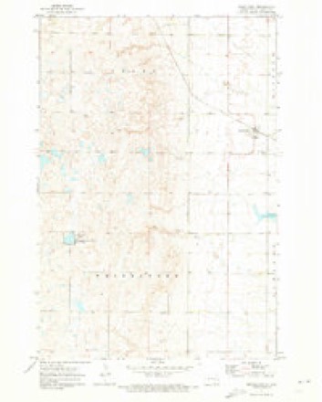
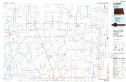
11 topographic sheets cover this place, the earliest surveyed in 1896 and the latest in 1986. It stands in Young Township. It lies in ZIP code area 58433. The Survey maps it on the Merricourt quadrangle.
Topographic sheets covering this place
6 surveys from 11 printed sheetsMatched by testing this settlement's coordinate against the published boundary of every sheet in the United States Geological Survey's historical collection. Each opens the scanned sheet at the Survey.
- 1896 USGS Edgeley quadrangle1:125000, 2 printings
- 1925 USGS Edgeley quadrangle1:125000, 2 printings
- 1953 USGS Jamestown quadrangle1:250000, 3 printings
- 1956 USGS Jamestown quadrangle1:250000
- 1971 USGS Merricourt quadrangle1:24000
- 1986 USGS La Moure quadrangle1:100000, 2 printings
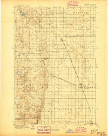
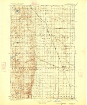
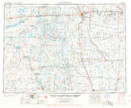
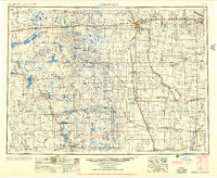
Storms near this place
26 since 1999Regional context, not property-specific evidence. The National Weather Service names Merricourt in 26 storm reports between 1999 and 2023: 12 hail, 7 thunderstorm wind, 3 tornado, 3 flood. No death or injury is recorded in these reports. Each account below is quoted exactly as the forecast office filed it, from the NOAA Storm Events Database, and each date opens the federal record of that event.
| When | Event | Place named | Harm | What the report says |
|---|---|---|---|---|
| July 2011 | Thunderstorm Wind | Merricourt | $1,250,000 | A National Weather Service Storm Survey was conducted across Dickey County. Widespread mature hardwood trees were snapped or uprooted along a 45 mile long and 4 mile wide damage swath, along with thousands of acres of crop damage due to wind driven hail. Several communities along the damage path also had severe wind damage. Near Merricourt, damage was observed to a home and to several farm vehicles. In Monango, extensive tree damage was observed, including a large hardwood tree with the diameter of 22 inches. A pole barn and two grain bins were destroyed two miles south of Fullerton, along with several large trees snapped or uprooted. Around Oakes, numerous buildings sustained heavy damage, along with the destruction of a 200 foot radio station tower. Damage across Dickey County was extensive. |
| June 2005 | Flash Flood | Merricourt | $750,000 | no account filed |
| April 2009 | Flood | Merricourt | $250,000 | Rapid snowmelt created overland flooding and flooding along the James River resulting in damage to numerous county and local roads and two homes. |
| July 2007 | Thunderstorm Wind | Merricourt | $250,000 | Combined severe thunderstorm winds and hail as large as half dollars (1.25 inch diameter) resulted in very significant crop damage through Dickey County. Damage extended from near the Lamoure County line northeast of Merricourt, through Dickey County, into Brown County, South Dakota. Dickey County Emergency Management reported an average 4 mile wide hail swath in the vicinity of Highway 281 with nearly 100 percent crop damage is some areas. At 1100 PM CDT an estimated 95 mph wind 1 mile west of Monango damaged many outbuildings on a hog farm. Some buildings were significantly damaged at the farm. This same storm crossed into Brown County, South Dakota, and did extensive damage there. See the StormData entry from the Aberdeen National Weather Service office. |
| March 2009 | Flood | Merricourt | $99,000 | Overland flooding damaged state, county and township roads. The James River spilled and flooded two homes. Flooding continued into April. |
| July 2011 | Tornado (EF1) | Merricourt | $75,000 | A National Weather Service storm survey confirmed that an EF1 tornado on the Enhanced Fujita Scale briefly touched down five miles northwest of Merricourt. There was an eye witness to the tornado. A pole barn was damaged along with numerous trees snapped. The damage corresponded to low end EF1 on the Enhanced Fujita Scale. From that it was determined that wind speeds were on the order of 90 miles per hour. |
| April 2023 | Flood | Merricourt | $50,000 | Flooding from snow melt runoff caused significant damages to county infrastructure. |
| September 2017 | Hail | Merricourt | $40,000 | Windows and vehicles were damaged. |
| July 2011 | Thunderstorm Wind | Merricourt | $15,000 | Strong thunderstorm winds blew over a grain bin. |
| July 2011 | Thunderstorm Wind | Merricourt | $15,000 | Evergreen trees were snapped in the city of Merricourt. |
| June 2020 | Tornado (EFU) | Merricourt | - | The tornado touched down in a field west-northwest of Merricourt, in the northwest corner of Dickey County. There was no damage to evaluate and so by National Weather Service policy the tornado is rated EF Unknown. |
| July 2017 | Thunderstorm Wind | Merricourt | - | Thunderstorm wind gusts were estimated by the public. |
| July 2012 | Thunderstorm Wind | Merricourt | - | Heavy rain accompanied the strong winds. |
| June 2009 | Thunderstorm Wind | Merricourt | - | The wind speed was estimated. |
| August 2006 | Hail | Merricourt | - | 2.40 inches of rain accompanied the hail. Branches down with estimated wind gusts around 55 mph. |
| June 2005 | Tornado (F0) | Merricourt | - | Tornado briefly touched down in open country. |
| June 2005 | Hail | Merricourt | - | Heavy rain accompanied the hail flooding several roads and washing out fences. |
| September 2001 | Hail | Merricourt | - | A wind shield of a vehicle smashed from the hail. |
| July 2022 | Hail | Merricourt | - | no account filed |
| July 2018 | Hail | Merricourt | - | no account filed |
| September 2017 | Hail | Merricourt | - | no account filed |
| July 2017 | Hail | Merricourt | - | no account filed |
| July 2017 | Hail | Merricourt | - | no account filed |
| September 2002 | Hail | Merricourt | - | no account filed |
| August 1999 | Hail | Merricourt | - | no account filed |
| August 1999 | Hail | Merricourt | - | no account filed |
Nearest settlements
The eight closest, with where each one stands in the county. Distances are straight-line, computed from the Geographic Names Information System coordinates.
Elsewhere
Matched on this settlement's Geographic Names Information System number rather than its name, so it cannot be a different place of the same name in another state.
| Wikidata item Q122559789 | The structured record the population and elevation above come from. Public domain (CC0). |
Provenance
This settlement is recorded in the Geographic Names Information System as feature 1030205. The sheet list is computed by point-in-boundary test against the United States Geological Survey's historical topographic inventory. Both are works of the United States government and carry no copyright under 17 U.S.C. 105.
Storms. NOAA National Centers for Environmental Information, Storm Events Database https://www.ncei.noaa.gov/stormevents/ A work of the United States government, no copyright under 17 U.S.C. 105. Narratives are quoted verbatim from the National Weather Service report and are not edited or summarised.