 Block
New Salem, North Dakota
6 topographic sheets cover this place, the earliest surveyed in 1954 and the latest in 1980. It stands in the West Morton unorganized territory. It lies in ZIP code area 58563. It lies near School Hill. The Survey maps it on the New Salem quadrangle. 973 people lived here at the 2020 count. It stands 2,185 feet above sea level.
Population over time
2 figuresNew Salem grew from 946 to 973 between 2010 and 2020. These are the recorded population figures Wikidata holds for this place, reached through the Geographic Names Information System number this page is keyed on rather than by name, so they belong to this place and not to another of the same name. Most are census counts, but not all are: an early figure may be a founding or settlement estimate, and an estimate published within five years of a census is left out. The change column is computed, and is left blank where more than 20 years separate a figure from the one before it, because a gap that long is not a change between two counts.
| Year | People | Change |
|---|---|---|
| 2010 | 946 | |
| 2020 | 973 | +27 (+3%) |
Topographic sheets covering this place
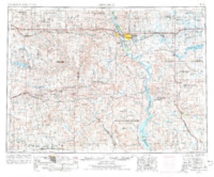
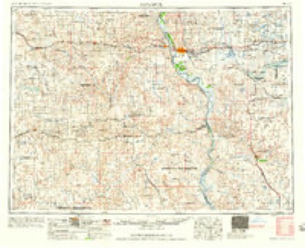
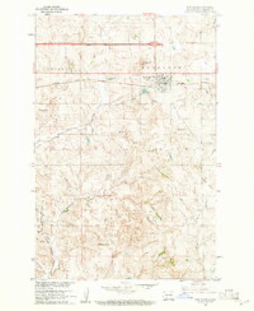
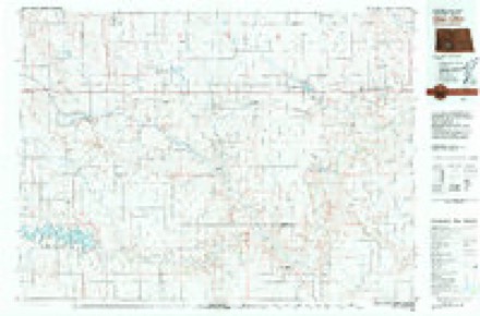
4 surveys from 6 printed sheetsMatched by testing this settlement's coordinate against the published boundary of every sheet in the United States Geological Survey's historical collection. Each opens the scanned sheet at the Survey.
- 1954 USGS Bismarck quadrangle1:250000, 2 printings
- 1958 USGS Bismarck quadrangle1:250000
- 1960 USGS New Salem quadrangle1:24000, 2 printings
- 1980 USGS Glen Ullin quadrangle1:100000
Storms near this place
60 of 91 shownRegional context, not property-specific evidence. The National Weather Service names New Salem in 91 storm reports between 1994 and 2025: 42 hail, 35 thunderstorm wind, 7 tornado, 3 flood. The reports record 1 injury. Each account below is quoted exactly as the forecast office filed it, from the NOAA Storm Events Database, and each date opens the federal record of that event.
| When | Event | Place named | Harm | What the report says |
|---|---|---|---|---|
| August 2014 | Lightning | New Salem | 1 hurt, $3,000 | A vehicle, traveling north on North Dakota Highway 31 north of New Salem, was struck by lightning. Airbags in the vehicle deployed. A female passenger in the front right seat of the vehicle suffered injuries and was taken to a hospital by ambulance. The vehicle sustained cosmetic damage and all electronics were inoperable. The vehicle was disabled. |
| June 2011 | Flood | New Salem | $10,000,000 | See the event episode narrative for details. |
| June 2025 | Tornado (EF2) | New Salem | $1,500,000 | This Quasi-Linear Convective System (QLCS) tornado occurred to the north-northwest of Sweet Briar Lake. Three farmsteads were impacted. The first farmstead had minimal damage. The second farmstead had two large pole barns lose their roofs, with some collapsed walls. A half-full steel grain bin had its top completely removed, with the bin side dented in to grain level. A large Harvestore silo was significantly dented. A mile of power poles were broken between the second and third farms. The third farm had damage to the house which included much of the shingling being removed and a portion of the roof sheathing being removed, along with windows being broken. In addition, a pole barn had almost all its roof covering blown off with mainly rafters remaining. After the third farm, the tornado then struck a wind turbine, which snapped its support pole 1/4 of the way up, resulting the turbine toppling. Another turbine suffered blade damage. Based on the damage done this tornado was rated EF-2, and from that wind speeds were estimated to be around 120 mph. |
| May 2010 | Thunderstorm Wind | New Salem | $1,300,000 | A large fertilizer building north of New Salem sustained heavy damage from extreme straight line winds associated with a severe thunderstorm. Visual inspection of the damage conducted during a storm survey indicates estimated winds of 95 mph. Much of the damage was to the roof of the building, in which much of the metal roof was peeled back and blown off to the north. Preliminary damage was estimated at over one million dollars to the building and loss of fertilizer.||Additional damage from severe thunderstorm winds was observed north-northeast of New Salem towards the Morton County and Oliver County border. Several farms had damage to outbuildings, trees, and farm equipment. Damage here was estimated at one quarter of a million dollars. |
| July 2014 | Thunderstorm Wind | New Salem | $250,000 | New wind turbine blades stored on the ground and waiting to be installed were completely destroyed. |
| May 2008 | Tornado (EF1) | New Salem | $200,000 | The tornado was originally reported by Morton County law enforcement. A storm damage survey was conducted by the National Weather Service and found that damage occurred to five farms in the New Salem area. Damage to farm houses was minor. Damage to farm outbuildings was significant with roofs torn off and smaller buildings destroyed. In some cases small outbuildings were destroyed while others nearby had little in any damage. Horse trailers were pushed and some were tipped. Tree trunks were snapped part way up their bases. The tornado damage corresponded to EF1 on the Enhanced Fujita Scale. From that it was determined that wind speeds in the tornado were on the order of 100 mph. This was the first of two tornadoes in Morton County this evening. |
| July 2014 | Thunderstorm Wind | New Salem | $150,000 | Strong thunderstorm winds resulted in tree and building damage in and around the New Salem area. |
| August 2010 | Thunderstorm Wind | New Salem | $150,000 | Large hail accompanied the strong thunderstorm winds. The wind driven hail and strong winds resulted in widespread damage in the town of New Salem. Several trees were uprooted, and hail damage was sustained to homes and vehicles. |
| June 2025 | Thunderstorm Wind | New Salem | $75,000 | A large tree snapped towards the base, and another tree fell onto a house. |
| June 2011 | Thunderstorm Wind | New Salem | $45,000 | Strong thunderstorm winds up to 85 miles per hour resulted in a path of damage east of New Salem. Two outbuildings on a farmstead had roofs blown off, and one had walls collapsed. Damage was indicative of strong straight line winds, with all debris blown to the northeast. |
| June 2017 | Hail | New Salem | $40,000 | The home suffered paint and window damage. The metal roof on the barn had dents. Holes were punched in corn storage bags and crop damage was reported around the area. |
| June 2015 | Thunderstorm Wind | New Salem | $40,000 | Large tree limbs were downed in the New Salem area. |
| June 2007 | Hail | New Salem | $35,000 | Hail was accompanied by strong winds. Some damage was done to farm fields and farm buildings 7 miles south of New Salem. 7 miles southeast of New Salem a farm had 450 acres of barley, wheat and oats damaged. |
| May 2008 | Thunderstorm Wind | New Salem | $5,000 | A storm damage survey was conducted by the National Weather Service and found that minor damage to outbuildings and trees in this area was the result of high thunderstorm winds associated with the storms rear flank downdraft. |
| September 2016 | Thunderstorm Wind | New Salem | $2,000 | A trained spotter reported that thunderstorm wind gusts caused a power pole to lean over near New Salem. |
| June 2025 | Tornado (EFU) | New Salem | - | The tornado touched down in an open field north of New Salem and impacted no structures. There was no damage to evaluate. By National Weather Service policy the tornado is rated EF-U (Unknown). |
| August 2025 | Thunderstorm Wind | New Salem | - | Wind speeds were estimated by Fire Department Personnel. |
| August 2023 | Thunderstorm Wind | New Salem | - | Thunderstorm wind gusts were estimated by a trained spotter. |
| June 2015 | Thunderstorm Wind | New Salem | - | Strong thunderstorm wind gusts were reported in New Salem. |
| August 2013 | Tornado (EF0) | New Salem | - | A tornado was spotted on the ground north of Interstate 94 in rural Morton County. There was no damage reported and so the tornado was rated EF0. |
| August 2011 | Flood | New Salem | - | See the event episode narrative for details. |
| July 2011 | Flood | New Salem | - | See the event episode narrative for details. |
| June 2011 | Hail | New Salem | - | Heavy rain accompanied the large hail. |
| August 2011 | Thunderstorm Wind | New Salem | - | Strong winds were reported at New Salem. |
| August 2010 | Thunderstorm Wind | New Salem | - | Estimated winds of 60 mph were reported. |
| August 2010 | Thunderstorm Wind | New Salem | - | Estimated winds of 60 mph were reported. |
| September 2009 | Thunderstorm Wind | New Salem | - | An estimated severe thunderstorm wind gust of 60 mph was reported. |
| June 2008 | Thunderstorm Wind | New Salem | - | No damage was reported. |
| May 2007 | Thunderstorm Wind | New Salem | - | Automatic Position Reporting System site. Highest gust at 816 PM CST. |
| July 2006 | Thunderstorm Wind | New Salem | - | Very heavy rain and a few pea sized hail stones accompanied the wind. |
| July 2005 | Hail | New Salem | - | Reported by a NWS cooperative observer. |
| September 2000 | Hail | New Salem | - | Cooperative observer reported 50 to 60 mph wind gust with this storm. |
| November 2000 | Tornado (F0) | New Salem | - | Tornado touched down in open country skipping in a west northwest direction. The tornado remained in open country. |
| August 1998 | Hail | New Salem | - | minor damage to homes and crops 6.5 inches rain |
| June 1998 | Funnel Cloud | New Salem | - | Several funnels were reported at the same time in the area with none touching the ground or causing damage. |
| June 2025 | Thunderstorm Wind | New Salem | - | no account filed |
| September 2025 | Hail | New Salem | - | no account filed |
| June 2021 | Thunderstorm Wind | New Salem | - | no account filed |
| August 2021 | Hail | New Salem | - | no account filed |
| August 2021 | Hail | New Salem | - | no account filed |
| July 2020 | Thunderstorm Wind | New Salem | - | no account filed |
| August 2020 | Hail | New Salem | - | no account filed |
| August 2020 | Hail | New Salem | - | no account filed |
| June 2020 | Hail | New Salem | - | no account filed |
| September 2018 | Hail | New Salem | - | no account filed |
| July 2018 | Thunderstorm Wind | New Salem | - | no account filed |
| June 2018 | Thunderstorm Wind | New Salem | - | no account filed |
| June 2016 | Hail | New Salem | - | no account filed |
| August 2016 | Hail | New Salem | - | no account filed |
| June 2015 | Hail | New Salem | - | no account filed |
| August 2013 | Hail | New Salem | - | no account filed |
| August 2013 | Hail | New Salem | - | no account filed |
| July 2011 | Hail | New Salem | - | no account filed |
| June 2011 | Hail | New Salem | - | no account filed |
| June 2011 | Hail | New Salem | - | no account filed |
| July 2011 | Hail | New Salem | - | no account filed |
| June 2011 | Hail | New Salem | - | no account filed |
| June 2011 | Hail | New Salem | - | no account filed |
| August 2010 | Hail | New Salem | - | no account filed |
| August 2010 | Hail | New Salem | - | no account filed |
Nearest settlements
The eight closest, with where each one stands in the county. Distances are straight-line, computed from the Geographic Names Information System coordinates.
| Map | Place | Distance | Sheets |
|---|---|---|---|
| North Almont | 5.2 miles | 6 | |
| Youngtown | 6.7 miles | 5 | |
| Sims | 6.8 miles | 6 | |
| Judson | 7.2 miles | 5 | |
| Almont | 9.6 miles | 5 | |
| Bluegrass | 11.5 miles | 5 | |
| Dengate | 11.9 miles | 6 | |
| Sweet Briar | 13.7 miles | 5 |
Elsewhere
Matched on this settlement's Geographic Names Information System number rather than its name, so it cannot be a different place of the same name in another state.
| Wikipedia article on New Salem | An encyclopaedic summary. Its text is share-alike, so it is linked here rather than copied. |
| Wikidata item Q28115 | The structured record the population and elevation above come from. Public domain (CC0). |
Provenance
This settlement is recorded in the Geographic Names Information System as feature 1030399. The sheet list is computed by point-in-boundary test against the United States Geological Survey's historical topographic inventory. Both are works of the United States government and carry no copyright under 17 U.S.C. 105.
Storms. NOAA National Centers for Environmental Information, Storm Events Database https://www.ncei.noaa.gov/stormevents/ A work of the United States government, no copyright under 17 U.S.C. 105. Narratives are quoted verbatim from the National Weather Service report and are not edited or summarised.