 Block
Niobe, North Dakota
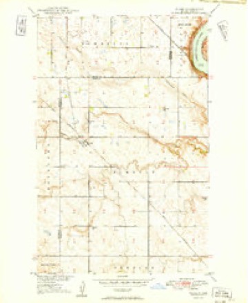
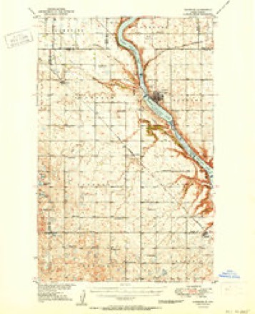
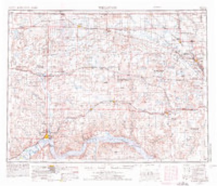
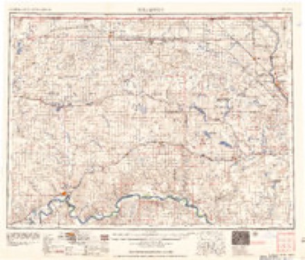
8 topographic sheets cover this place, the earliest surveyed in 1949 and the latest in 1982. It stands in Elmdale Township. It lies in ZIP code area 58746. The Survey maps it on the Niobe quadrangle.
Topographic sheets covering this place
5 surveys from 8 printed sheetsMatched by testing this settlement's coordinate against the published boundary of every sheet in the United States Geological Survey's historical collection. Each opens the scanned sheet at the Survey.
- 1949 USGS Niobe quadrangle1:24000, 2 printings
- 1950 USGS Kenmare quadrangle1:62500, 2 printings
- 1953 USGS Williston quadrangle1:250000, 2 printings
- 1957 USGS Williston quadrangle1:250000
- 1982 USGS Kenmare quadrangle1:100000
Fires near this place
29 since 1992Regional context, not property-specific evidence. The federal wildfire occurrence database lists 29 fires within 5 miles of Niobe between 1992 and 2020, burning about 161 acres in total. None started naturally. None was recorded as arson. Distance is straight-line from the map coordinates, so a fire counted here may appear on a neighbouring settlement's page as well.
| Reported cause | Fires |
|---|---|
| Missing data/not specified/undetermined | 18 |
| Debris and open burning | 4 |
| Equipment and vehicle use | 4 |
| Railroad operations and maintenance | 2 |
| Power generation/transmission/distribution | 1 |
The most recent of them, most recent first, with the day each was reported and the service that recorded it.
| Date | Cause | Size | Reported by | Name on the report |
|---|---|---|---|---|
| 28 September 2020 | Missing data/not specified/undetermined | under an acre | Lostwood Wetland Management District | LEE WPA |
| 7 August 2017 | Equipment and vehicle use | 5.0 acres | North Dakota State Forest Service | 8/7/2017 |
| 19 August 2017 | Equipment and vehicle use | 1.0 acres | North Dakota State Forest Service | 8/19/2017 |
| 27 July 2017 | Debris and open burning | under an acre | Des Lacs National Wildlife Refuge | COAL SEAM |
| 27 July 1992 | Missing data/not specified/undetermined | under an acre | Des Lacs National Wildlife Refuge | A17-2 |
| 27 July 1992 | Missing data/not specified/undetermined | under an acre | Des Lacs National Wildlife Refuge | A17-1 |
| 26 July 2015 | Equipment and vehicle use | 8.0 acres | North Dakota State Forest Service | MELIN FIRE |
| 3 June 1994 | Missing data/not specified/undetermined | under an acre | Des Lacs National Wildlife Refuge | PVCROSSING |
Settlements close enough to share some of these fires:
Storms near this place
10 since 1998Regional context, not property-specific evidence. The National Weather Service names Niobe in 10 storm reports between 1998 and 2023: 4 flood, 3 hail, 1 tornado, 1 funnel cloud. The reports record 1 death and 1 injury. Each account below is quoted exactly as the forecast office filed it, from the NOAA Storm Events Database, and each date opens the federal record of that event.
| When | Event | Place named | Harm | What the report says |
|---|---|---|---|---|
| August 2010 | Tornado (EF3) | Niobe | 1 killed, 1 hurt, $500,000 | This tornado crossed from Burke County into Ward County. Note that for roughly three miles in the vicinity of the Des Lacs River, U.S. Highway 52 runs right on the Burke and Ward County line. The tornado was right on the highway in this area. This was the location of the worst damage with this tornado. Farm property on the north side of the highway, Burke County, and on the south side of the highway, Ward County, was impacted. One fatality and one injury occurred here, in a single automobile travelling along the highway, on the county line. The vehicle came to rest in a field, nearly 200 yards off the highway, on the south side of the highway, on the east side of the river, in Ward County. See the EF3 tornado entry for Burke County from August 12.||This third tornado touched down just northeast of Bowbells, Burke County, and tracked east-southeast along U.S. Highway 52, and into Ward County where it dissipated. This EF3 tornado was spawned from the same supercell thunderstorm that earlier produced two brief and weak tornadoes in Burke County.||Meteorologists from the National Weather Service conducted a storm damage survey on Friday, August 13, 2010. Meteorologists walked through the area and spoke with numerous people affected, some of whom were eye witnesses to the event.||Significant damage occurred nearly six miles east of Bowbells, near the Des Lacs River, where U.S. Highway 52 is on the Burke and Ward County line. Three farms were impacted. The worst damage was on the Burke County side of the highway and west side of the river, where a farm home (DI 2, DOD 8) and six outbuildings were destroyed. Nineteen of 21 grain bins were also damaged or destroyed. In addition, a fifty foot air seeder connected to a cultivator, with a combined estimated weight near 60,000 pounds, was moved approximately 100 yards. Based on a lack of scratch marks in the ground it was determined that this equipment was picked up and carried through the air. A second farm, on the Ward County side of the highway, had trees in shelter belts snapped and uprooted and the chimney on the house damaged. A third house, this one on the east side of the river and the Ward County side of the highway, also had significant damage. Here, one camper was thrown into the river on the south side of the Highway 52 bridge that crosses the river, while another camper was thrown into the river and landed on the north side of the bridge, back into Burke County. The house had damage to siding and shingles.||Of all the damage surveyed the absolute worst corresponded to a high EF3 on the Enhanced Fujita Tornado Scale. From that it was determined that peak wind speeds in the tornado were on the order of 165 mph.||One fatality and one injury occurred in an automobile in this same immediate area. A car with two occupants travelling east along U.S. Highway 52 was picked up and carried over the Des Lacs River, and came to rest 200 yards off the highway, in a field east of the river, and on the Ward County side of the highway. The driver of the vehicle was injured and the passenger was killed.||See the other three tornado entries for Burke County from this event on August 12. This tornado crossed into Ward County from Burke. |
| May 2011 | Flood | Niobe | $100,000,000 | See the event episode narrative for details. |
| June 2014 | Flood | Niobe | $618,000 | Flooding occurred over Ward County. Damage occurred to roads and culverts with many wash outs along township roads. There was crop damage as well. Rain amounts ranged from 2.50 inches in Bottineau County to as much as 7.00 inches in Renville County. |
| July 2015 | Thunderstorm Wind | Niobe | $150,000 | Large evergreen trees were snapped. Two roofs were torn from out-buildings. Three empty grain bins were tipped. Wind speed was estimated from the damage. |
| August 2013 | Funnel Cloud | Niobe | - | A funnel cloud developed, lasted for ten minutes, then dissipated. |
| June 2011 | Flood | Niobe | - | See the event episode narrative for details. Specified here for Ward County is that nearly 25 percent of the homes in Burlington, Minot, a major city in North Dakota, Logan, and Sawyer were impacted by the flooding. Many were impacted beyond repair. This flood was particularly devastating for these communities. The worst of the flood waters was from around the 20th of the month to around the 30th. |
| July 2011 | Flood | Niobe | - | See the event episode narrative for details. |
| June 2023 | Hail | Niobe | - | no account filed |
| August 2013 | Hail | Niobe | - | no account filed |
| July 1998 | Hail | Niobe | - | no account filed |
Nearest settlements
The eight closest, with where each one stands in the county. Distances are straight-line, computed from the Geographic Names Information System coordinates.
| Map | Place | Distance | Sheets |
|---|---|---|---|
| Kenmare | 7.1 miles | 8 | |
| Kenaston | 7.3 miles | 7 | |
| Nine Mile Corner | 10.6 miles | 7 | |
| Baden | 13.2 miles | 7 | |
| Donnybrook | 21.5 miles | 7 | |
| Aurelia | 22.6 miles | 6 | |
| Hartland | 28.9 miles | 7 | |
| Carpio | 31.5 miles | 9 |
Provenance
This settlement is recorded in the Geographic Names Information System as feature 1030414. The sheet list is computed by point-in-boundary test against the United States Geological Survey's historical topographic inventory. Both are works of the United States government and carry no copyright under 17 U.S.C. 105.
Wildfire. Short, Karen C. 2022. Spatial wildfire occurrence data for the United States, 1992-2020 [FPA_FOD_20221014]. 6th Edition. Fort Collins, CO: Forest Service Research Data Archive. https://doi.org/10.2737/RDS-2013-0009.6 Collected with United States Government funding and usable without additional permissions or fees.
Storms. NOAA National Centers for Environmental Information, Storm Events Database https://www.ncei.noaa.gov/stormevents/ A work of the United States government, no copyright under 17 U.S.C. 105. Narratives are quoted verbatim from the National Weather Service report and are not edited or summarised.