 Block
Revere, North Dakota
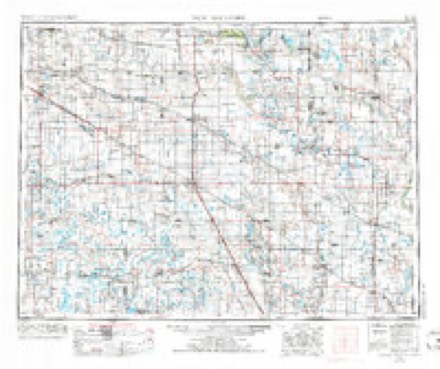
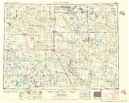
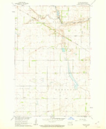
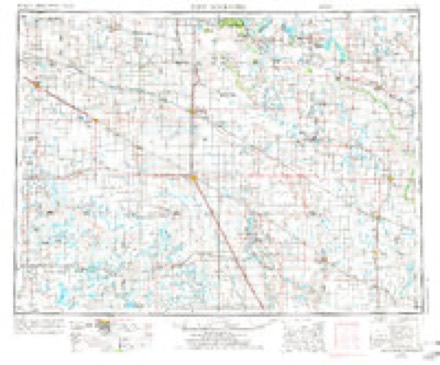
8 topographic sheets cover this place, the earliest surveyed in 1952 and the latest in 1985. It stands in Helena Township. It lies in ZIP code area 58448. The Survey maps it on the Revere quadrangle.
Topographic sheets covering this place
5 surveys from 8 printed sheetsMatched by testing this settlement's coordinate against the published boundary of every sheet in the United States Geological Survey's historical collection. Each opens the scanned sheet at the Survey.
- 1952 USGS New Rockford quadrangle1:250000, 3 printings
- 1956 USGS New Rockford quadrangle1:250000
- 1961 USGS Revere quadrangle1:24000
- 1971 USGS New Rockford quadrangle1:250000
- 1985 USGS Cooperstown quadrangle1:100000, 2 printings
Storms near this place
16 since 2001Regional context, not property-specific evidence. The National Weather Service names Revere in 16 storm reports between 2001 and 2025: 9 hail, 3 tornado, 2 thunderstorm wind, 1 flash flood. No death or injury is recorded in these reports. Each account below is quoted exactly as the forecast office filed it, from the NOAA Storm Events Database, and each date opens the federal record of that event.
| When | Event | Place named | Harm | What the report says |
|---|---|---|---|---|
| July 2011 | Tornado (EF1) | Revere | $10,000 | The tornado knocked down several trees in various shelterbelts along its route. At one farmstead several sheets of steel roofing were ripped up and tossed off of a shed and numerous tree branches were scattered about. Peak winds were estimated at 95 mph. |
| August 2001 | Hail | Revere | $5,000 | Hailstones damaged a pickup and the siding on a house and broke a window. |
| August 2001 | Hail | Revere | $4,000 | Windows were broken and the siding on a home was damaged. |
| August 2025 | Tornado (EF1) | Revere | - | This QLCS tornado was likely rain wrapped with the starting location approximated based on high resolution satellite imagery with scouring occurring in a wheat field. The tornado moved to the northeast and destroyed a 120 ft by 60 ft pole barn. Max estimated wind is 110 mph. |
| June 2022 | Thunderstorm Wind | Revere | - | Received a report of a 72 mph wind gust as measured from a personal weather station. |
| August 2021 | Hail | Revere | - | Received a report of multiple waves of hail, each with progressively larger hailstones. It started as pea-sized and increased to half-dollar-sized hail. Damage was reported to a garden. |
| July 2017 | Hail | Revere | - | The hail broke several windows. |
| July 2016 | Thunderstorm Wind | Revere | - | Large cottonwood trees were broken down in farmsteads across Clearfield Township. |
| June 2015 | Hail | Revere | - | Crop damage was also reported south of Hannaford, near Walum. |
| October 2013 | Funnel Cloud | Revere | - | A weak funnel cloud was reported. |
| July 2011 | Tornado (EF1) | Revere | - | This tornado was first reported by an observer located south of Sutton and looking east towards Hannaford. The tornado snapped down several trees in a shelterbelt and flattened part of a corn field before lifting. Peak winds were estimated at 95 mph. |
| June 2007 | Flash Flood | Revere | - | Several hundred acres of farm fields were flooded as well as a farm access road. |
| June 2012 | Hail | Revere | - | no account filed |
| August 2007 | Hail | Revere | - | no account filed |
| June 2007 | Hail | Revere | - | no account filed |
| May 2004 | Hail | Revere | - | no account filed |
Nearest settlements
The eight closest, with where each one stands in the county. Distances are straight-line, computed from the Geographic Names Information System coordinates.
Provenance
This settlement is recorded in the Geographic Names Information System as feature 1030888. The sheet list is computed by point-in-boundary test against the United States Geological Survey's historical topographic inventory. Both are works of the United States government and carry no copyright under 17 U.S.C. 105.
Storms. NOAA National Centers for Environmental Information, Storm Events Database https://www.ncei.noaa.gov/stormevents/ A work of the United States government, no copyright under 17 U.S.C. 105. Narratives are quoted verbatim from the National Weather Service report and are not edited or summarised.