 Block
Turtle Lake, North Dakota
8 topographic sheets cover this place, the earliest surveyed in 1947 and the latest in 1979. It stands in Turtle Lake City. It lies in ZIP code area 58575. The Survey maps it on the Turtle Lake quadrangle. 542 people lived here at the 2020 count. It stands 1,890 feet above sea level.
Population over time
2 figuresTurtle Lake fell from 581 to 542 between 2010 and 2020. These are the recorded population figures Wikidata holds for this place, reached through the Geographic Names Information System number this page is keyed on rather than by name, so they belong to this place and not to another of the same name. Most are census counts, but not all are: an early figure may be a founding or settlement estimate, and an estimate published within five years of a census is left out. The change column is computed, and is left blank where more than 20 years separate a figure from the one before it, because a gap that long is not a change between two counts.
| Year | People | Change |
|---|---|---|
| 2010 | 581 | |
| 2020 | 542 | -39 (-7%) |
Topographic sheets covering this place
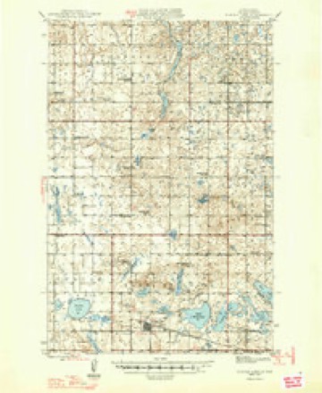
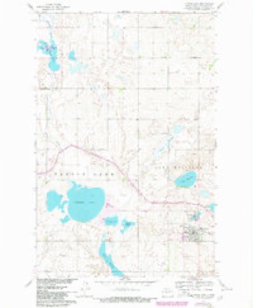
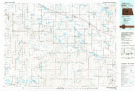
5 surveys from 8 printed sheetsMatched by testing this settlement's coordinate against the published boundary of every sheet in the United States Geological Survey's historical collection. Each opens the scanned sheet at the Survey.
- 1947 USGS Turtle Lake quadrangle1:62500
- 1954 USGS McClusky quadrangle1:250000, 3 printings
- 1958 USGS McClusky quadrangle1:250000
- 1961 USGS Turtle Lake quadrangle1:24000, 2 printings
- 1979 USGS Drake quadrangle1:100000
Mines and quarries near this place
1 within 5 milesRegional context, not property-specific evidence. The federal mineral resources record lists 1 working within 5 miles of Turtle Lake: 1 producer. All of them still produce. What was taken out: Sand and Gravel, Construction. Distance is straight-line from the map coordinates, so a quarry counted here may appear on a neighbouring settlement's page as well.
| Where | Site | Commodity | Status | Recorded |
|---|---|---|---|---|
| Lindteigen Const Co Pit | Sand and Gravel, Construction | Producer |
Storms near this place
45 since 1995Regional context, not property-specific evidence. The National Weather Service names Turtle Lake in 45 storm reports between 1995 and 2024: 21 hail, 20 thunderstorm wind, 2 funnel cloud, 2 tornado. No death or injury is recorded in these reports. Each account below is quoted exactly as the forecast office filed it, from the NOAA Storm Events Database, and each date opens the federal record of that event.
| When | Event | Place named | Harm | What the report says |
|---|---|---|---|---|
| August 2024 | Thunderstorm Wind | Turtle Lake | $200,000 | Multiple trees were uprooted at Crooked Lake. Small sheds were destroyed, fences were blown down, and pontoons were flipped and some damaged. |
| June 2020 | Thunderstorm Wind | Turtle Lake | $100,000 | Multiple barns were blown down by the thunderstorm wind gusts, with debris scattered a good distance away from the original location. |
| August 2006 | Thunderstorm Wind | Turtle Lake | $80,000 | Two barns destroyed. Trees snapped and uprooted. |
| August 2024 | Thunderstorm Wind | Turtle Lake | $50,000 | Three large grain bins were partially caved in by the thunderstorm wind gusts. |
| June 2009 | Hail | Turtle Lake | $45,000 | Residents of rural Turtle Lake reported window damage to homes and vehicles from the large hail. |
| August 2024 | Thunderstorm Wind | Turtle Lake | $30,000 | A center pivot irrigation system was flipped over and damaged. |
| July 1997 | Thunderstorm Wind | Turtle Lake | $30,000 | Strong winds destroyed a pole barn and garage 5 N Turtle Lake |
| July 2020 | Thunderstorm Wind | Turtle Lake | $20,000 | Many trees were damaged in the area. |
| June 1997 | Thunderstorm Wind | Turtle Lake | $15,000 | strong thunderstorm winds destroyed 2 wind breaks at a farm. The winds also rolled a 1000 bushel grain bin across the road and moved a 5000 bushel grain bin off of its foundation. |
| June 2006 | Hail | Turtle Lake | $4,000 | Windshields cracked. |
| August 2022 | Thunderstorm Wind | Turtle Lake | - | The thunderstorm wind gusts combined with dime size hail to cause crop damage. |
| July 2009 | Thunderstorm Wind | Turtle Lake | - | The public reported an estimated severe thunderstorm wind gust of 60 mph. |
| June 2008 | Thunderstorm Wind | Turtle Lake | - | Measured thunderstorm wind gust at the Remote Automated Weather Station labeled CHARLIE. |
| July 2003 | Tornado (F1) | Turtle Lake | - | Tornado touched down over open country and traveled east northeast causing damage to the recreational area of Brush Lake. Several roofs were blown off lake cabins with one cabin being lifted off its foundation. A two by four (2x4) piece of wood impacted a parked semi-trailor truck and two 1,000 pound bales of hay were destroyed. The tornado crossed the county line into Sheridan county and moved southeast. |
| June 2002 | Hail | Turtle Lake | - | Water reported over the county roads. |
| June 1999 | Thunderstorm Wind | Turtle Lake | - | Downburst wind demolished old barn. |
| August 1999 | Hail | Turtle Lake | - | Crop loss of 60 to 100 percent covering 2 to 3 miles wide. |
| August 1997 | Funnel Cloud | Turtle Lake | - | funnel was visible for about 5 minutes |
| August 2024 | Thunderstorm Wind | Turtle Lake | - | no account filed |
| August 2024 | Hail | Turtle Lake | - | no account filed |
| August 2024 | Thunderstorm Wind | Turtle Lake | - | no account filed |
| June 2023 | Thunderstorm Wind | Turtle Lake | - | no account filed |
| August 2022 | Hail | Turtle Lake | - | no account filed |
| August 2022 | Hail | Turtle Lake | - | no account filed |
| July 2019 | Hail | Turtle Lake | - | no account filed |
| August 2019 | Thunderstorm Wind | Turtle Lake | - | no account filed |
| August 2019 | Hail | Turtle Lake | - | no account filed |
| June 2018 | Thunderstorm Wind | Turtle Lake | - | no account filed |
| June 2017 | Hail | Turtle Lake | - | no account filed |
| June 2017 | Hail | Turtle Lake | - | no account filed |
| June 2017 | Hail | Turtle Lake | - | no account filed |
| July 2015 | Hail | Turtle Lake | - | no account filed |
| June 2008 | Hail | Turtle Lake | - | no account filed |
| June 2008 | Hail | Turtle Lake | - | no account filed |
| June 2008 | Thunderstorm Wind | Turtle Lake | - | no account filed |
| May 2006 | Funnel Cloud | Turtle Lake | - | no account filed |
| May 2006 | Hail | Turtle Lake | - | no account filed |
| June 2002 | Hail | Turtle Lake | - | no account filed |
| August 2001 | Hail | Turtle Lake | - | no account filed |
| July 2000 | Hail | Turtle Lake | - | no account filed |
| July 2000 | Hail | Turtle Lake | - | no account filed |
| August 2000 | Thunderstorm Wind | Turtle Lake | - | no account filed |
| June 1999 | Tornado (F0) | Turtle Lake | - | no account filed |
| July 1998 | Hail | Turtle Lake | - | no account filed |
| June 1995 | Thunderstorm Wind | Turtle Lake | - | no account filed |
Nearest settlements
The eight closest, with where each one stands in the county. Distances are straight-line, computed from the Geographic Names Information System coordinates.
| Map | Place | Distance | Sheets |
|---|---|---|---|
| Mercer | 9.7 miles | 6 | |
| Underwood | 13.8 miles | 8 | |
| Riverdale Junction | 15.2 miles | 8 | |
| Falkirk | 15.4 miles | 9 | |
| Washburn | 17.5 miles | 9 | |
| Coleharbor | 17.8 miles | 9 | |
| Merida | 19.2 miles | 8 | |
| Ruso | 22.1 miles | 9 |
Elsewhere
Matched on this settlement's Geographic Names Information System number rather than its name, so it cannot be a different place of the same name in another state.
| Wikipedia article on Turtle Lake | An encyclopaedic summary. Its text is share-alike, so it is linked here rather than copied. |
| Wikidata item Q940948 | The structured record the population and elevation above come from. Public domain (CC0). |
Provenance
This settlement is recorded in the Geographic Names Information System as feature 1032552. The sheet list is computed by point-in-boundary test against the United States Geological Survey's historical topographic inventory. Both are works of the United States government and carry no copyright under 17 U.S.C. 105.
Mines and quarries. USGS Mineral Resources Data System (MRDS) https://mrdata.usgs.gov/mrds/ A work of the United States government, no copyright under 17 U.S.C. 105.
Storms. NOAA National Centers for Environmental Information, Storm Events Database https://www.ncei.noaa.gov/stormevents/ A work of the United States government, no copyright under 17 U.S.C. 105. Narratives are quoted verbatim from the National Weather Service report and are not edited or summarised.