 Block
West Fargo, North Dakota
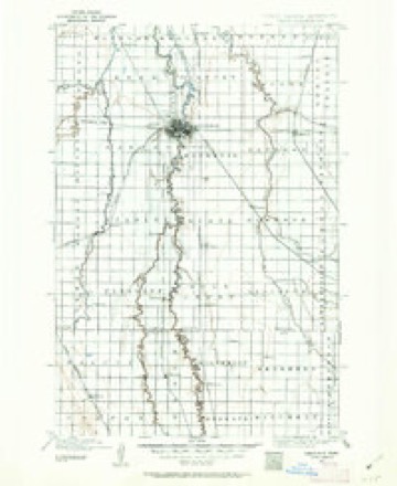
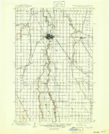
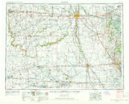
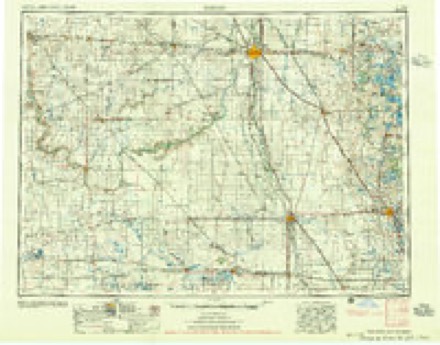
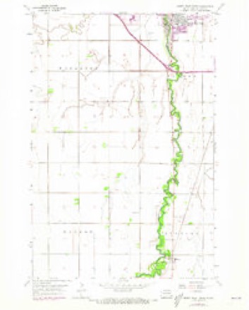
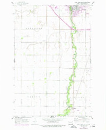
24 topographic sheets cover this place, the earliest surveyed in 1895 and the latest in 1989. It stands in West Fargo City. It lies in ZIP code area 58078. The Survey maps it on the West Fargo South quadrangle. 38,626 people lived here at the 2020 count. It stands 896 feet above sea level.
Population over time
2 figuresWest Fargo grew from 25,830 to 38,626 between 2010 and 2020. These are the recorded population figures Wikidata holds for this place, reached through the Geographic Names Information System number this page is keyed on rather than by name, so they belong to this place and not to another of the same name. Most are census counts, but not all are: an early figure may be a founding or settlement estimate, and an estimate published within five years of a census is left out. The change column is computed, and is left blank where more than 20 years separate a figure from the one before it, because a gap that long is not a change between two counts.
| Year | People | Change |
|---|---|---|
| 2010 | 25,830 | |
| 2020 | 38,626 | +12,796 (+50%) |
Topographic sheets covering this place
8 surveys from 24 printed sheetsMatched by testing this settlement's coordinate against the published boundary of every sheet in the United States Geological Survey's historical collection. Each opens the scanned sheet at the Survey.
- 1895 USGS Fargo quadrangle1:125000, 3 printings
- 1897 USGS Fargo quadrangle1:125000, 12 printings
- 1953 USGS Fargo quadrangle1:250000, 2 printings
- 1956 USGS Fargo quadrangle1:250000
- 1959 USGS South West Fargo quadrangle1:24000, 2 printings
- 1959 USGS West Fargo South quadrangle1:24000
- 1985 USGS Fargo quadrangle1:100000, 2 printings
- 1989 USGS Fargo quadrangle1:250000
Fires near this place
22 since 2005Regional context, not property-specific evidence. The federal wildfire occurrence database lists 22 fires within 5 miles of West Fargo between 2005 and 2020, burning about 41 acres in total. None started naturally. None was recorded as arson. Distance is straight-line from the map coordinates, so a fire counted here may appear on a neighbouring settlement's page as well.
| Reported cause | Fires |
|---|---|
| Debris and open burning | 11 |
| Missing data/not specified/undetermined | 7 |
| Equipment and vehicle use | 2 |
| Smoking | 2 |
The most recent of them, most recent first, with the day each was reported and the service that recorded it.
| Date | Cause | Size | Reported by | Name on the report |
|---|---|---|---|---|
| 28 September 2019 | Smoking | under an acre | North Dakota State Forest Service | GRASS FIRE |
| 8 August 2005 | Equipment and vehicle use | 10 acres | North Dakota State Forest Service | not named |
| 9 July 2020 | Missing data/not specified/undetermined | 1.0 acres | North Dakota State Forest Service | 38 ST S DITCH FIRE |
| 9 July 2020 | Missing data/not specified/undetermined | 1.0 acres | North Dakota State Forest Service | 64TH AVE. N. & 25TH ST. N. FARGO |
| 7 July 2020 | Debris and open burning | under an acre | North Dakota State Forest Service | FARM FEILD CONTROLLED BURN |
| 30 July 2019 | Debris and open burning | under an acre | North Dakota State Forest Service | GRASS FIRE |
| 3 June 2019 | Debris and open burning | under an acre | North Dakota State Forest Service | GRASS FIRE |
| 4 May 2017 | Debris and open burning | 2.0 acres | North Dakota State Forest Service | 2017310 |
Settlements close enough to share some of these fires:
Storms near this place
31 since 1994Regional context, not property-specific evidence. The National Weather Service names West Fargo in 31 storm reports between 1994 and 2025: 14 thunderstorm wind, 6 flash flood, 5 hail, 3 flood. No death or injury is recorded in these reports. Each account below is quoted exactly as the forecast office filed it, from the NOAA Storm Events Database, and each date opens the federal record of that event.
| When | Event | Place named | Harm | What the report says |
|---|---|---|---|---|
| June 2000 | Flash Flood | West Fargo | $5,000,000 | After 5 to 7 inches of rain fell across the West Fargo area, flash flooding occurred in low lying neighborhoods. The Meadow Ridge area suffered quite a bit of damage, with numerous basements flooded. Many streets and cars were also flooded. |
| July 1999 | Thunderstorm Wind | West Fargo | $5,000,000 | Strong winds hit the West Fargo area, knocking down trees, power lines, and signs. A motel on Main Avenue was damaged as well as numerous roofs. A block of storage sheds were blown apart, with debris damaging vehicles and apartments in the area. 4300 people were without power. At the West Fargo airport, a hanger was demolished, wrecking the Cessna 182 parked inside. A skydiver group who owned the hanger lost most of their equipment inside, some blowing over a half mile away. Some contents of the hanger were found inside a home to the east of the airport. This home had its roof torn off and windows blown in. This allowed some of the debris from the airport hanger to get inside the house. A fireworks tent was flattened, with most of the fireworks inside destroyed because of the rain. 55 power poles were knocked down in the West Fargo area, some snapped at ground level. Several motorhomes at the West Fargo Fairgrounds were overturned, with no injuries reported. A set of bleachers and a press box at the old West Fargo High School were also flattened. On Main Avenue, a 100,000 bushel grain bin was wrecked. |
| July 2010 | Thunderstorm Wind | West Fargo | $1,000,000 | A Squall Line with damaging downburst winds raked across West Fargo and into Fargo through the early morning hours. Winds flipped over two semi trailors parked near the fair grounds and completly tore off a large metal section of city garbage transfer station along U.S. Highway 10. Industrial business roofing damage and the movement of small machinery items in various lots indicated the occurence of one or more small surface eddies in the overall downburst pattern. |
| April 2023 | Flood | West Fargo | $951,000 | West Fargo - Sheyenne River - Crest of 21.06 ft occurred on 4/24. A second crest of 18.24 ft occurred on May 10th, which is included in the May storm data.||NOTE: Damages dollar amount is for the entire county. Not separated by specific river basin or damage type. |
| May 2011 | Tornado (EF2) | West Fargo | $750,000 | This tornado tracked northward and brushed the west edge of the industrial park of northwest Fargo and the east edge of Reiles Acres before lifting east of Harwood. The tornado was likely enshrouded in downburst winds and heavy rains for part of this track. Two guyed radio towers collapsed, several empty semi-trailers and travel trailers were flipped and thrown, steel wall and roofing panels were torn from industrial buildings, and numerous power poles and trees were snapped. peak winds were estimated at 135 mph. |
| June 1998 | Flash Flood | West Fargo | $250,000 | 3 to 5 inches of rain fell in less than three hours, resulting in rapid flooding problems across West Fargo. Several parking lots and low areas filled with water, covering some cars. Water also covered a few streets and filled several basements with 3 1/2 feet of water. Power went out for most of West Fargo, causing sewer and sump pump failure. |
| June 2008 | Thunderstorm Wind | West Fargo | $50,000 | The winds were sustained at forty-nine miles per hour with wind gusts up to sixty-four miles per hour. |
| June 2010 | Flash Flood | West Fargo | $25,000 | Roads flooded from about four inches of rain in an hour and a half. The busy east-west route of 13th Avenue South was temporarily closed to traffic around the noon hour, making traffic a mess. Several basement flooding was also reported. |
| August 1994 | Thunderstorm Wind | West Fargo | $20,000 | no account filed |
| May 2013 | Flood | West Fargo | $15,000 | Many roads in Fargo were water covered and closed. Sections of 12th Avenue North from the 3900 to 4200 block were closed with two feet of water covering it. Street and basement flooding was also reported in West Fargo. Two to five inches of rain was reported in a short amount of time. |
| July 1999 | Thunderstorm Wind | West Fargo | $15,000 | A barn roof was blown off and several large trees were downed. |
| June 1997 | Thunderstorm Wind | West Fargo | $5,000 | A small tree fell on a house. |
| October 1997 | Thunderstorm Wind | West Fargo | $5,000 | Power lines were blown down. |
| June 1997 | Thunderstorm Wind | West Fargo | $2,000 | Gusty winds blew down a billboard-sized video screen at the Red River Valley Fair. |
| June 2025 | Flash Flood | West Fargo | - | Multiple stalled out vehicles due to street flooding in Fargo. |
| May 2023 | Flood | West Fargo | - | West Fargo - Sheyenne River - Flood stage was reached on May 10th, and crested at 18.24 ft on May 10th. This was the second crest of the season, with the first crest of 21.06 ft occurring on April 24th. |
| July 2023 | Hail | West Fargo | - | Public reports ping-pong ball sized hail, with about 60 cars with damage in a parking lot. |
| September 2019 | Thunderstorm Wind | West Fargo | - | Steel roof panels were torn off a shop building. |
| June 2008 | Thunderstorm Wind | West Fargo | - | There was a tree down in the north end of West Fargo. |
| June 2007 | Thunderstorm Wind | West Fargo | - | Many trees were blown down. One tree fell on a house. |
| September 2005 | Funnel Cloud | West Fargo | - | A funnel cloud was sighted off the west end of the Eagle Run subdivision. |
| August 2005 | Flash Flood | West Fargo | - | Around 3 inches of rain fell in less than an hour. A van was nearly covered in water beneath the Center Street underpass. Other vehicles were stranded around town by high water. |
| July 2004 | Flash Flood | West Fargo | - | The heavy rain flooded 13th avenue south in West Fargo. Several cars stalled in the high water. |
| August 1997 | Thunderstorm Wind | West Fargo | - | Wind speed was estimated. |
| June 2008 | Thunderstorm Wind | West Fargo | - | no account filed |
| July 2006 | Thunderstorm Wind | West Fargo | - | no account filed |
| August 2002 | Hail | West Fargo | - | no account filed |
| July 1999 | Hail | West Fargo | - | no account filed |
| July 1999 | Hail | West Fargo | - | no account filed |
| July 1999 | Hail | West Fargo | - | no account filed |
| July 1997 | Tornado (F0) | West Fargo | - | no account filed |
Nearest settlements
The eight closest, with where each one stands in the county. Distances are straight-line, computed from the Geographic Names Information System coordinates.
| Map | Place | Distance | Sheets |
|---|---|---|---|
| South West Fargo | 0.1 miles | 24 | |
| Riverside | 0.8 miles | 24 | |
| Pinkham | 3.1 miles | 24 | |
| Fife | 3.5 miles | 24 | |
| Reiles Acres | 3.8 miles | 25 | |
| Prairie Rose | 5.2 miles | 25 | |
| Fargo | 5.9 miles | 25 | |
| Frontier | 6.3 miles | 25 |
Elsewhere
Matched on this settlement's Geographic Names Information System number rather than its name, so it cannot be a different place of the same name in another state.
| Wikipedia article on West Fargo | An encyclopaedic summary. Its text is share-alike, so it is linked here rather than copied. |
| Wikidata item Q1001721 | The structured record the population and elevation above come from. Public domain (CC0). |
Provenance
This settlement is recorded in the Geographic Names Information System as feature 1032733. The sheet list is computed by point-in-boundary test against the United States Geological Survey's historical topographic inventory. Both are works of the United States government and carry no copyright under 17 U.S.C. 105.
Wildfire. Short, Karen C. 2022. Spatial wildfire occurrence data for the United States, 1992-2020 [FPA_FOD_20221014]. 6th Edition. Fort Collins, CO: Forest Service Research Data Archive. https://doi.org/10.2737/RDS-2013-0009.6 Collected with United States Government funding and usable without additional permissions or fees.
Storms. NOAA National Centers for Environmental Information, Storm Events Database https://www.ncei.noaa.gov/stormevents/ A work of the United States government, no copyright under 17 U.S.C. 105. Narratives are quoted verbatim from the National Weather Service report and are not edited or summarised.