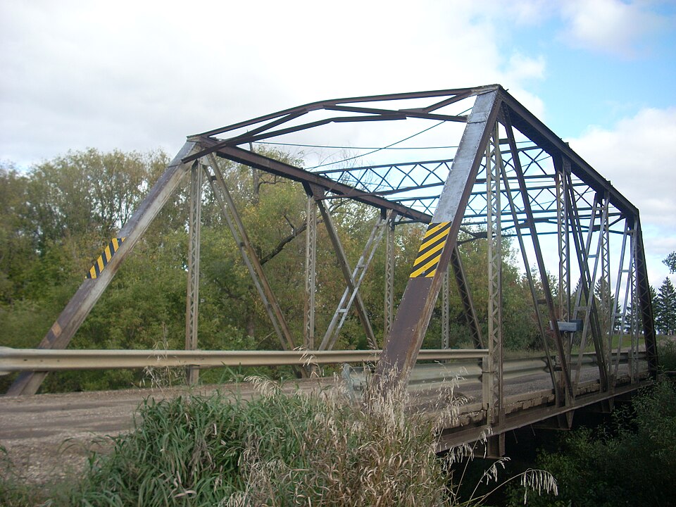
| July 2002 | Flash Flood | Thompson | $500,000 | 6 to 8 inches of rain caused flooding problems over southeast Grand Forks county. Cole creek threatened a home southeast of Thompson. County roads 7 and 81 were closed due to high water levels. Many fields were flooded and roads were damaged. The county estimated $500,000 in damages. |
| June 2005 | Thunderstorm Wind | Thompson | $30,000 | A semi was blown off Interstate 29 and into the median, one mile north of the Thompson exit. The driver was not injured. |
| September 1996 | Thunderstorm Wind | Thompson | $10,000 | no account filed |
| August 1997 | Thunderstorm Wind | Thompson | $5,000 | Power lines were blown down in the strong wind. |
| August 2001 | Thunderstorm Wind | Thompson | $500 | Trees were blown down. |
| May 2025 | Thunderstorm Wind | Thompson | - | Top of large cottonwood trees snapped. |
| June 2025 | Thunderstorm Wind | Thompson | - | Public report of a 92 mph wind gust 4ENE of Thompson. Measured on a Davis weather station. |
| July 2025 | Thunderstorm Wind | Thompson | - | Measured wind gust. |
| July 2025 | Thunderstorm Wind | Thompson | - | Tree and fence damage. |
| May 2024 | Thunderstorm Wind | Thompson | - | Off duty NWS employee relayed report of large branches down from thunderstorm wind gusts south of Grand Forks. Time estimated based on gust frontal passage via radar around 05180118Z. |
| August 2024 | Thunderstorm Wind | Thompson | - | Public reports approximately 6 inch diameter tree branch snapped south of Grand Forks. |
| July 2022 | Thunderstorm Wind | Thompson | - | Numerous large trees were broken down in shelter belts across Allendale Township and within the community of Thompson. One hay shed located west of town had a sidewall blown out and the roof collapsed. |
| June 2021 | Thunderstorm Wind | Thompson | - | Peak wind measured at a personal weather station. Small trees were blown down around a homestead. |
| August 2020 | Hail | Thompson | - | The hail fell on Interstate 29, just north of the Thompson exit. |
| June 2020 | Hail | Thompson | - | Mostly pea sized hail. |
| May 2019 | Thunderstorm Wind | Thompson | - | A small garden shed and several tree limbs were blown down. |
| August 2018 | Hail | Thompson | - | Large hail fell along Interstate 29. |
| June 2018 | Thunderstorm Wind | Thompson | - | A 10 inch diameter poplar tree was snapped east of Interstate 29 near mile point 131. |
| July 2017 | Hail | Thompson | - | The hail fell in the vicinity of the Walle church. |
| August 2016 | Hail | Thompson | - | Dime to half dollar sized hail fell. |
| July 2016 | Funnel Cloud | Thompson | - | A funnel cloud was seen near the intersection of highway 15 and airport road. |
| July 2016 | Thunderstorm Wind | Thompson | - | An apparent microburst occurred several minutes behind the passage of a southward moving thunderstorm gust front. Several trees were snapped at residences and farmsteads across central Walle Township. A north facing garage wall was pushed in at the roof line, and the wind proceeded to blow through the garage and blew out the south facing garage doors and part of the south garage roof. Peak winds were estimated at 90 to 100 mph. |
| July 2014 | Thunderstorm Wind | Thompson | - | Two trees, one 25 inches in diameter and the other 30 inches in diameter, were snapped in a yard. Power lines were also knocked down in Thompson. |
| June 2012 | Hail | Thompson | - | Pea to penny sized hail fell along with very strong winds. |
| July 2012 | Thunderstorm Wind | Thompson | - | Numerous eight inch diameter trees were blown down from central Allendale Township into central Walle Township north of Thompson. |
| July 2011 | Thunderstorm Wind | Thompson | - | Strong winds broke down a few large 3 to 5 inch diameter tree branches at a farmstead. |
| July 2011 | Thunderstorm Wind | Thompson | - | Several large 3 to 5 inch diameter tree branches were blown down. Large portions of small grain and corn crops were lodged by the winds across northeast Michigan and northern Americus townships. |
| July 2011 | Hail | Thompson | - | Very heavy rains and strong winds were accompanied by a few dime to nickel sized hail. |
| June 2010 | Tornado (EF0) | Thompson | - | The tornado produced intermittent touchdowns along a nearly 8 mile north-northeast track. The dissipating funnel was visible passing south of Grand Forks through 545 PM CDT. Large tree branches were broken down in field shelterbelts and near homes in Merrifield. Peak winds were estimated at 80 mph. |
| August 2007 | Hail | Thompson | - | The ground was white with hail. Some car damage was reported. |
| July 2006 | Thunderstorm Wind | Thompson | - | A microburst produced damaging winds to about 65 mph beginning north-northwest of Thompson and spreading south-southeast through the community of Thompson. Several large cottonwood branches from a grove were torn off and blown up to 200 feet downwind (toward the south-southeast). Four boxelder trees up to 14 inches in diameter were snapped off near the ground while some large branches fell onto buildings. Some crops within one to two miles of Thompson were partly flattened. |
| June 2005 | Thunderstorm Wind | Thompson | - | Several large trees were uprooted. |
| June 2005 | Thunderstorm Wind | Thompson | - | A tree was blown down in Thompson. |
| June 2005 | Flash Flood | Thompson | - | 2.50 inches of rain fell in a short amount of time and flooded several homes. |
| July 2005 | Thunderstorm Wind | Thompson | - | Trees were blown down near the Thompson exit on Interstate 29. |
| May 2004 | Tornado (F0) | Thompson | - | A brief touchdown was reported. |
| July 2004 | Hail | Thompson | - | Cars pulled off highway 15 because the hail reduced the visibility to near zero. |
| July 2017 | Hail | Thompson | - | no account filed |
| July 2015 | Hail | Thompson | - | no account filed |
| July 2012 | Hail | Thompson | - | no account filed |
| June 2009 | Hail | Thompson | - | no account filed |
| August 2007 | Hail | Thompson | - | no account filed |
| August 2006 | Hail | Thompson | - | no account filed |
| May 2005 | Hail | Thompson | - | no account filed |
| May 2005 | Hail | Thompson | - | no account filed |
| May 2005 | Hail | Thompson | - | no account filed |
| June 2005 | Hail | Thompson | - | no account filed |
| September 2005 | Hail | Thompson | - | no account filed |
| May 2004 | Hail | Thompson | - | no account filed |
| May 2004 | Thunderstorm Wind | Thompson | - | no account filed |
| June 2004 | Hail | Thompson | - | no account filed |
| August 2004 | Hail | Thompson | - | no account filed |
| August 2004 | Hail | Thompson | - | no account filed |
| August 2004 | Hail | Thompson | - | no account filed |
| June 2003 | Hail | Thompson | - | no account filed |
| June 2002 | Hail | Thompson | - | no account filed |
| August 2002 | Hail | Thompson | - | no account filed |
| August 1998 | Hail | Thompson | - | no account filed |
| September 1997 | Hail | Thompson | - | no account filed |
 Block