 Block
Elberon, Nebraska
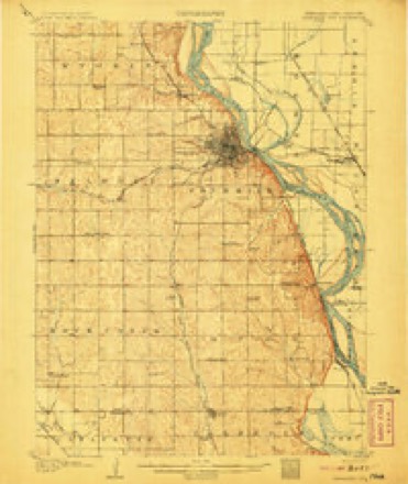
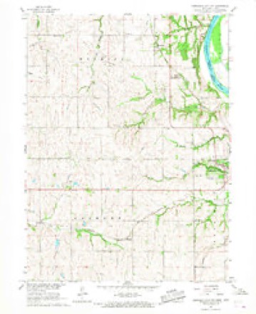
11 topographic sheets cover this place, the earliest surveyed in 1907 and the latest in 1993. It stands in Belmont precinct. It lies in ZIP code area 68410. The Survey maps it on the Nebraska City NW quadrangle.
Topographic sheets covering this place
7 surveys from 11 printed sheetsMatched by testing this settlement's coordinate against the published boundary of every sheet in the United States Geological Survey's historical collection. Each opens the scanned sheet at the Survey.
- 1907 USGS Nebraska City quadrangle1:62500, 3 printings
- 1955 USGS Nebraska City quadrangle1:250000, 3 printings
- 1957 USGS Nebraska City quadrangle1:250000
- 1958 USGS Nebraska City quadrangle1:250000
- 1966 USGS Nebraska City NW quadrangle1:24000
- 1985 USGS Nebraska City quadrangle1:100000
- 1993 USGS Nebraska City quadrangle1:100000
Fires near this place
48 since 2007Regional context, not property-specific evidence. The federal wildfire occurrence database lists 48 fires within 5 miles of Elberon between 2007 and 2020, burning about 146 acres in total. None started naturally. 3 were recorded as arson. Distance is straight-line from the map coordinates, so a fire counted here may appear on a neighbouring settlement's page as well.
| Reported cause | Fires |
|---|---|
| Debris and open burning | 30 |
| Missing data/not specified/undetermined | 7 |
| Smoking | 4 |
| Equipment and vehicle use | 3 |
| Arson/incendiarism | 3 |
| Recreation and ceremony | 1 |
The most recent of them, most recent first, with the day each was reported and the service that recorded it.
| Date | Cause | Size | Reported by | Name on the report |
|---|---|---|---|---|
| 30 September 2017 | Debris and open burning | 15 acres | Nebraska Forest Service | not named |
| 16 September 2008 | Debris and open burning | 1.0 acres | Nebraska Forest Service | not named |
| 14 September 2007 | Missing data/not specified/undetermined | under an acre | Nebraska Forest Service | not named |
| 7 August 2012 | Debris and open burning | 1.0 acres | Nebraska Forest Service | not named |
| 9 July 2007 | Equipment and vehicle use | 1.0 acres | Nebraska Forest Service | not named |
| 4 July 2007 | Debris and open burning | under an acre | Nebraska Forest Service | not named |
| 4 July 2007 | Arson/incendiarism | under an acre | Nebraska Forest Service | not named |
| 27 June 2008 | Missing data/not specified/undetermined | under an acre | Nebraska Forest Service | not named |
Settlements close enough to share some of these fires:
Storms near this place
8 since 2007Regional context, not property-specific evidence. The National Weather Service names Elberon in 8 storm reports between 2007 and 2025: 4 thunderstorm wind, 2 tornado, 1 hail, 1 flood. No death or injury is recorded in these reports. Each account below is quoted exactly as the forecast office filed it, from the NOAA Storm Events Database, and each date opens the federal record of that event.
| When | Event | Place named | Harm | What the report says |
|---|---|---|---|---|
| June 2010 | Flood | Elberon | $250,000 | Heavy rain over much of eastern Nebraska and western Iowa during most of June caused a prolonged period of flooding along the Missouri River, especially downstream of Omaha through Rulo. The river near Nebraska City climbed above flood stage early in the afternoon on June 11th and remained above flood stage into July. The river at Nebraska City crested around or a little over 25 feet during the afternoon of June 16th and June 21st. Flood stage is 18 feet. Industrial roads near the river were flooded along with some cabins, boat ramps and recreation areas. |
| September 2014 | Tornado (EF1) | Elberon | $50,000 | The tornado developed from a slow moving supercell across rural Otoe County. The tornado initially developed near County Road 50, and between County Road M and L. Initial damage was mainly to crops and snapped tree limbs. The slow-moving tornado traveled generally east southeast exhibiting a slightly erratic path through rural Otoe County. The tornado impacted a couple of farmsteads along County Road 56, and also along County Road M. At these locations outbuildings were damaged or destroyed, as well as considerable tree damage. The tornado cross U.S. Highway 75 at the intersection of Nebraska Highway 128 where tree and power line damage occurred. The tornado continued east along Highway 128 continuing to do tree and crop damage for 1 mile before dissipating. |
| August 2025 | Thunderstorm Wind | Elberon | - | Personal weather station measured wind gust of 61 mph. |
| June 2022 | Thunderstorm Wind | Elberon | - | Public reported via mPing 3 inch tree limbs broken; power poles broken. |
| December 2021 | Tornado (EF1) | Elberon | - | A brief EF-1 tornado snapped power poles. Swirling was noted in corn fields north and south of County Road C. |
| September 2014 | Thunderstorm Wind | Elberon | - | A storm survey of the track of the slow-moving Otoe County supercell revealed a swath of damage winds associated with the forward flank to the north of the tornado. This damage started just south of Nebraska Highway 2 about 3 miles east of Dunbar and continued east southeast across the south side of Nebraska and to the Missouri River. The damage consisted of flattened corn and broken or snapped tree limbs. |
| June 2008 | Thunderstorm Wind | Elberon | - | Thunderstorm wind gusts estimated at 65 mph near the intersection of Highway 75 and Business Route 75 knocked down 5 power poles and 2 stop signs. This prompted the closure of Business 75 until the power poles were repaired. Trees were also toppled or damaged in the area as were farm outbuildings. |
| March 2007 | Hail | Elberon | - | Reported 3 miles northeast of Dunbar from the northern cell of 2 severe storms that tracked across the county at the same time. |
Nearest settlements
The eight closest, with where each one stands in the county. Distances are straight-line, computed from the Geographic Names Information System coordinates.
| Map | Place | Distance | Sheets |
|---|---|---|---|
| Paul | 4.1 miles | 11 | |
| Nebraska City | 4.7 miles | 12 | |
| Dunbar | 5.1 miles | 13 | |
| Cio (historical) | 5.7 miles | 13 | |
| Delta (historical) | 5.7 miles | 13 | |
| Lorton | 5.7 miles | 13 | |
| Wyoming | 6.3 miles | 11 | |
| Minersville | 8.6 miles | 12 |
Provenance
This settlement is recorded in the Geographic Names Information System as feature 835298. The sheet list is computed by point-in-boundary test against the United States Geological Survey's historical topographic inventory. Both are works of the United States government and carry no copyright under 17 U.S.C. 105.
Wildfire. Short, Karen C. 2022. Spatial wildfire occurrence data for the United States, 1992-2020 [FPA_FOD_20221014]. 6th Edition. Fort Collins, CO: Forest Service Research Data Archive. https://doi.org/10.2737/RDS-2013-0009.6 Collected with United States Government funding and usable without additional permissions or fees.
Storms. NOAA National Centers for Environmental Information, Storm Events Database https://www.ncei.noaa.gov/stormevents/ A work of the United States government, no copyright under 17 U.S.C. 105. Narratives are quoted verbatim from the National Weather Service report and are not edited or summarised.