 Block
Farwell, Nebraska
12 topographic sheets cover this place, the earliest surveyed in 1899 and the latest in 1985. It stands in Posen precinct. It lies in ZIP code area 68838. The Survey maps it on the Farwell quadrangle. 138 people lived here at the 2020 count. It stands 1,998 feet above sea level.
Population over time
2 figuresFarwell grew from 122 to 138 between 2010 and 2020. These are the recorded population figures Wikidata holds for this place, reached through the Geographic Names Information System number this page is keyed on rather than by name, so they belong to this place and not to another of the same name. Most are census counts, but not all are: an early figure may be a founding or settlement estimate, and an estimate published within five years of a census is left out. The change column is computed, and is left blank where more than 20 years separate a figure from the one before it, because a gap that long is not a change between two counts.
| Year | People | Change |
|---|---|---|
| 2010 | 122 | |
| 2020 | 138 | +16 (+13%) |
Topographic sheets covering this place
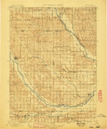
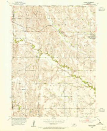
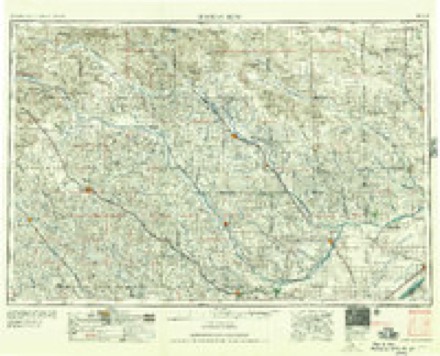
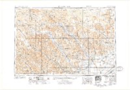
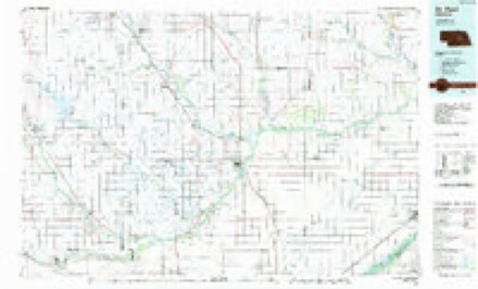
5 surveys from 12 printed sheetsMatched by testing this settlement's coordinate against the published boundary of every sheet in the United States Geological Survey's historical collection. Each opens the scanned sheet at the Survey.
- 1899 USGS Loup quadrangle1:125000, 2 printings
- 1953 USGS Farwell quadrangle1:24000, 2 printings
- 1955 USGS Broken Bow quadrangle1:250000, 5 printings
- 1956 USGS Broken Bow quadrangle1:250000
- 1985 USGS St. Paul quadrangle1:100000, 2 printings
Storms near this place
38 since 1995Regional context, not property-specific evidence. The National Weather Service names Farwell in 38 storm reports between 1995 and 2025: 22 hail, 10 thunderstorm wind, 4 tornado, 1 heavy rain. No death or injury is recorded in these reports. Each account below is quoted exactly as the forecast office filed it, from the NOAA Storm Events Database, and each date opens the federal record of that event.
| When | Event | Place named | Harm | What the report says |
|---|---|---|---|---|
| April 2024 | Tornado (EF3) | Farwell | $3,500,000 | Initially narrow, this tornado started south of Farwell with eyewitness reports, and would eventually turn into a large, EF3-rated tornado. The tornado moved across rural areas north of Farwell, causing tree damage and overturning center irrigation pivots. As the tornado emerged onto the North Loup River valley just west of Elba, it gained significant strength. Just west of Elba, a farmstead sustained heavy damage to a home, outbuildings and vehicles, among other items. A well-built metal building structure was was demolished, with extensive damage to the nearby home. Based upon damage indicators, this location was deemed to have the strongest winds, estimated to be 145 MPH, resulting in the EF3 rating. The tornado was estimated to be around 600 yards wide as it crossed Highway 11 just northwest of Elba. A long stretch of power poles was knocked down along Odell Road. The tornado eventually navigated across the North Loup River about 2.5 miles north of town. From that point, the tornado moved onto pasture ground. Based upon radar data, timing and lack of solid damage indicators, it is believed this tornado likely weakened as it moved north. |
| July 2022 | Hail | Farwell | $1,000,000 | Hail up to the size of golf balls was reported in Farwell by an NWS Employee. Emergency management later reported that a swath approximately three miles wide running from the Farwell area to west of Dannebrog suffered widespread crop damage and broken windows and siding. |
| July 2022 | Thunderstorm Wind | Farwell | $500,000 | Wind gusts estimated to be at least 70 MPH resulted in tree and crop damage in the area, as well as overturned pivots. |
| August 2018 | Hail | Farwell | $325,000 | The combination of hail up to the size of golf balls and wind gusts of 60-75 MPH resulted in damage across central/southern Howard County. Most of the hail reports were dime to quarter size, with one report of golf ball hail north of Dannebrog, but a common theme was the copious amounts of hail. In a few spots, hail drifts were ankle-knee high. There were many reports of significant crop damage extending from around Farwell southeastward into the St. Paul and St. Libory areas. One spotter reported at least 1000 acres were destroyed just in their local area, with corn knocked down to just knee-high. Several irrigation pivots were tipped over, large tree limbs downed, and grain bins damaged, including one east-southeast of Farwell that was blown off its foundation. Emergency management reported that at least 12 power poles were damaged or snapped. At a residence 2 miles east-southeast of Farwell, a carport was destroyed and a barn door was ripped off (in addition to tree damage). |
| August 2018 | Thunderstorm Wind | Farwell | $325,000 | The combination of hail up to the size of golf balls and wind gusts of 60-75 MPH resulted in damage across central/southern Howard County. Most of the hail reports were dime to quarter size, with one report of golf ball hail north of Dannebrog, but a common theme was the copious amounts of hail. In a few spots, hail drifts were ankle-knee high. There were many reports of significant crop damage extending from around Farwell southeastward into the St. Paul and St. Libory areas. One spotter reported at least 1000 acres were destroyed just in their local area, with corn knocked down to just knee-high. Several irrigation pivots were tipped over, large tree limbs downed, and grain bins damaged, including one east-southeast of Farwell that was blown off its foundation. Emergency management reported that at least 12 power poles were damaged or snapped. At a residence 2 miles east-southeast of Farwell, a carport was destroyed and a barn door was ripped off (in addition to tree damage). |
| October 2013 | Heavy Rain | Farwell | $250,000 | A rainfall total of 6.60 inches occurred. This report was relayed via KHAS-TV. |
| April 2024 | Tornado (EF0) | Farwell | $200,000 | An eyewitness, who provided photos, times, and detailed locations, documented a short-lived tornado south of Farwell in Howard County. This tornado occurred just prior to the development of the tornado which eventually passed near Elba. Along its curvy path, this nearly three mile long tornado overturned two center irrigation pivots and damaged some trees south of Farwell. Scouring along the ground was easily visible. The tornado dissipated just south of Farwell. |
| August 2021 | Thunderstorm Wind | Farwell | $200,000 | An isolated microburst with estimated gusts of 75 MPH caused localized damage. Crops were damaged, a few large trees were uprooted and tree limbs downed, grain bins were damaged and an irrigation pivot was overturned. |
| September 2015 | Thunderstorm Wind | Farwell | $150,000 | Numerous tree limbs and power lines were downed. Some home windows were also broken. |
| June 2014 | Hail | Farwell | $100,000 | Hail ranged in size from from nickels to golf balls. Piles of nickel to quarter size hail were reported near Farwell. |
| June 2019 | Lightning | Farwell | $90,000 | A lightning strike resulted in a fire that damaged a portion of the Farwell Fire Hall. |
| June 2011 | Tornado (EF0) | Farwell | $80,000 | A tornado briefly touched down in a rural area approximately 5 miles west-southwest of Farwell. One irrigation pivot was damaged by this tornado. |
| May 1998 | Hail | Farwell | $45,000 | no account filed |
| May 2004 | Hail | Farwell | $20,000 | no account filed |
| May 1998 | Hail | Farwell | $20,000 | no account filed |
| May 2004 | Thunderstorm Wind | Farwell | $10,000 | no account filed |
| June 2002 | Thunderstorm Wind | Farwell | $10,000 | no account filed |
| August 2019 | Thunderstorm Wind | Farwell | - | Wind gusts estimated to be near 60 MPH resulted in tree damage in a shelter belt, where several large limbs were blown down. |
| August 2013 | Thunderstorm Wind | Farwell | - | Nickel size hail also occurred with heavy rain. |
| August 2013 | Thunderstorm Wind | Farwell | - | Three quarter inch diameter hail also fell. |
| August 2013 | Hail | Farwell | - | Nickel size hail fell with heavy rain, along with estimated 60 mph wind gusts. |
| August 2013 | Hail | Farwell | - | Estimated 60 mph wind gusts also occurred. |
| May 2004 | Tornado (F0) | Farwell | - | Short lived tornado observed by many chasers. It remained in open country west of Farwell. |
| September 1995 | Hail | Farwell | - | Hail dropped by thunderstorms caused some crop damage in Howard County. North of Saint Paul, thunderstorm winds blew a grain bin off its foundation while wind driven hail caused roof and siding damage and broke several windows. |
| September 1995 | Hail | Farwell | - | Hail dropped by thunderstorms caused some crop damage in Howard County. North of Saint Paul, thunderstorm winds blew a grain bin off its foundation while wind driven hail caused roof and siding damage and broke several windows. |
| April 2025 | Hail | Farwell | - | no account filed |
| May 2012 | Hail | Farwell | - | no account filed |
| June 2009 | Hail | Farwell | - | no account filed |
| May 2006 | Thunderstorm Wind | Farwell | - | no account filed |
| May 2005 | Hail | Farwell | - | no account filed |
| June 2004 | Hail | Farwell | - | no account filed |
| June 2003 | Hail | Farwell | - | no account filed |
| June 2003 | Hail | Farwell | - | no account filed |
| May 2002 | Hail | Farwell | - | no account filed |
| August 2002 | Hail | Farwell | - | no account filed |
| April 2001 | Hail | Farwell | - | no account filed |
| April 2001 | Hail | Farwell | - | no account filed |
| June 2001 | Hail | Farwell | - | no account filed |
Nearest settlements
The eight closest, with where each one stands in the county. Distances are straight-line, computed from the Geographic Names Information System coordinates.
| Map | Place | Distance | Sheets |
|---|---|---|---|
| Midway | 3.8 miles | 12 | |
| Nysted | 5.6 miles | 12 | |
| Elba | 5.8 miles | 11 | |
| Paplin (historical) | 7.3 miles | 12 | |
| Dannebrog | 8.0 miles | 12 | |
| Dannevirke | 8.5 miles | 12 | |
| Saint Paul | 9.0 miles | 14 | |
| Cotesfield | 9.8 miles | 12 |
Elsewhere
Matched on this settlement's Geographic Names Information System number rather than its name, so it cannot be a different place of the same name in another state.
| Wikipedia article on Farwell | An encyclopaedic summary. Its text is share-alike, so it is linked here rather than copied. |
| Wikidata item Q2293334 | The structured record the population and elevation above come from. Public domain (CC0). |
Provenance
This settlement is recorded in the Geographic Names Information System as feature 829280. The sheet list is computed by point-in-boundary test against the United States Geological Survey's historical topographic inventory. Both are works of the United States government and carry no copyright under 17 U.S.C. 105.
Storms. NOAA National Centers for Environmental Information, Storm Events Database https://www.ncei.noaa.gov/stormevents/ A work of the United States government, no copyright under 17 U.S.C. 105. Narratives are quoted verbatim from the National Weather Service report and are not edited or summarised.