 Block
Lane, Nebraska
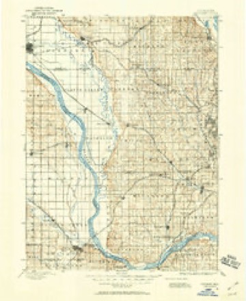
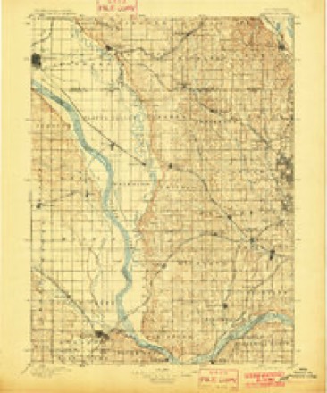
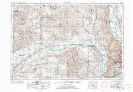
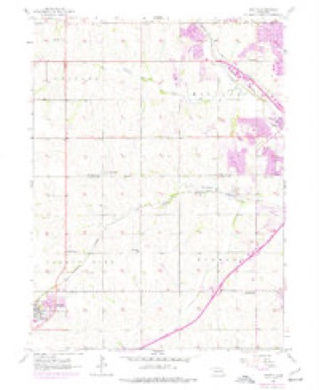
19 topographic sheets cover this place, the earliest surveyed in 1893 and the latest in 1982. It stands in Omaha City. It lies in ZIP code area 68130. It stands on Pacific Hollow Creek. The Survey maps it on the Gretna quadrangle.
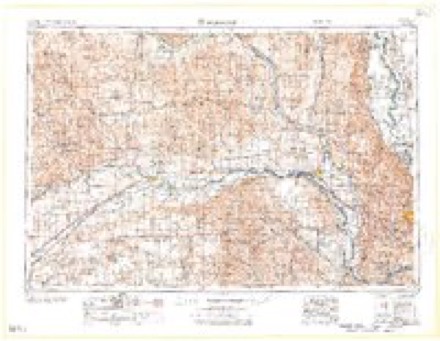
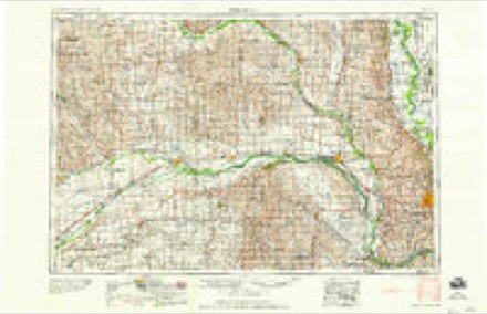
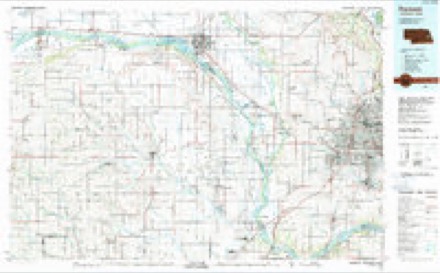
Topographic sheets covering this place
7 surveys from 19 printed sheetsMatched by testing this settlement's coordinate against the published boundary of every sheet in the United States Geological Survey's historical collection. Each opens the scanned sheet at the Survey.
- 1893 USGS Fremont quadrangle1:125000
- 1896 USGS Fremont quadrangle1:125000, 5 printings
- 1955 USGS Fremont quadrangle1:250000, 3 printings
- 1956 USGS Gretna quadrangle1:24000, 6 printings
- 1957 USGS Fremont quadrangle1:250000
- 1958 USGS Fremont quadrangle1:250000
- 1982 USGS Fremont quadrangle1:100000, 2 printings
What happened here
An account from the chapter on Omaha city. The inset identifies its exact source book and publication year.
Urban B. Balcombe
Urban B. Balcombe, who died at Excelsior Springs, Missouri, March 7, 191 7, was born in Elgin, Illinois,' in 1852. His father. Saint A. D. Balcombe, removed with his family to Omaha from Winona, Minnesota, July 5, 1865. He had formerly been agent for the captured Sioux and Winnebago Indians and in 1863 removed them to St.
Fires near this place
5 since 2014Regional context, not property-specific evidence. The federal wildfire occurrence database lists 5 fires within 5 miles of Lane between 2014 and 2020, burning about 2 acres in total. None started naturally. None was recorded as arson. Distance is straight-line from the map coordinates, so a fire counted here may appear on a neighbouring settlement's page as well.
| Reported cause | Fires |
|---|---|
| Debris and open burning | 2 |
| Recreation and ceremony | 1 |
| Equipment and vehicle use | 1 |
| Missing data/not specified/undetermined | 1 |
The most recent of them, most recent first, with the day each was reported and the service that recorded it.
| Date | Cause | Size | Reported by | Name on the report |
|---|---|---|---|---|
| 23 September 2020 | Missing data/not specified/undetermined | under an acre | Nebraska Forest Service | not named |
| 9 April 2014 | Recreation and ceremony | under an acre | Nebraska Forest Service | not named |
| 5 March 2018 | Equipment and vehicle use | 2.0 acres | Nebraska Forest Service | not named |
| 6 November 2015 | Debris and open burning | under an acre | Nebraska Forest Service | not named |
| 29 October 2015 | Debris and open burning | under an acre | Nebraska Forest Service | not named |
Settlements close enough to share some of these fires:
Storms near this place
15 since 2008Regional context, not property-specific evidence. The National Weather Service names Lane in 15 storm reports between 2008 and 2018: 8 thunderstorm wind, 6 hail, 1 tornado. No death or injury is recorded in these reports. Each account below is quoted exactly as the forecast office filed it, from the NOAA Storm Events Database, and each date opens the federal record of that event.
| When | Event | Place named | Harm | What the report says |
|---|---|---|---|---|
| June 2018 | Thunderstorm Wind | Lane | - | A home weather station measured a 61 mph wind gust near 175th Ave and F St in Omaha. Large tree limbs were blown down. |
| June 2017 | Hail | Lane | - | Golfball size hail was reported at 174th and F Streets in Omaha. |
| June 2017 | Thunderstorm Wind | Lane | - | Trees were blown down by high winds near 175th and O Streets. |
| July 2016 | Thunderstorm Wind | Lane | - | A spotter reported tree limbs up to 6 inches in diameter were downed near 192nd and I Street in southwest Omaha. |
| September 2014 | Thunderstorm Wind | Lane | - | Sporadic tree damage was observed near the area of 180th and Center streets in Omaha. |
| June 2011 | Thunderstorm Wind | Lane | - | Thunderstorm winds estimated at around 70 mph blew the siding off of a house near Elkhorn and also caused barn and other building damage in the area. A pickup truck was crushed by a metal building that flew into it. This was from a storm that brought a measured wind gust of 72 mph at the NWS in Valley and also caused wind damage in parts of Omaha. |
| June 2010 | Hail | Lane | - | Hail of 1 inch to half dollar-size in diameter was reported from west Omaha into the western sections of midtown near 108th and Grover and 108th and I Streets. The half dollar-size hail was reported near 180th and Q Streets and north of 144th and Center. The hail caused some car and plant damage. |
| July 2010 | Thunderstorm Wind | Lane | - | The Asos at Omaha-Eppley measured a thunderstorm wind gust of 60 mph. There were estimates of winds a little stronger than this in west Omaha. The wind caused scattered tree and fence damage across town and knocked the power out to around 40,000 OPPD customers for at least several hours and some for more than a day. |
| June 2010 | Hail | Lane | - | The hail was mostly nickel-size but a few stones up to quarter-size were reported near 180th and Q Streets. |
| June 2010 | Thunderstorm Wind | Lane | - | A thunderstorm with strong winds downed large tree limbs and power lines across much of Omaha as it moved across town. The Asos at Omaha-Eppley airport measured a wind gust of 63 mph with the storm. |
| June 2008 | Tornado (EF1) | Lane | - | This is the second tornado to cause damage to the Omaha metro area this night. Tornado number 2 first touched down just southwest of 204th and Q Streets and produced EF1 damage to the roof and decking of a home. The tornado produced mainly EF0 damage as it moved east, passing just south of Zorinsky Lake and just southeast of Oak View Mall. Tornado number 2 then merged with tornado number 1 near 132nd and Westwood Lane and then continued on to around 114th and Shirley Streets. Minor structure damage, tree damage and lifted shingles compromised most of the damage with this tornado. Although the track of this tornado in Douglas county was longer than Tornado number 1, the more significant damage occurred with the first tornado.||The tornadoes spun up on the leading edge of a bow echo that gathered strength and raced through the Omaha metropolitan region. OPPD stated that 13,800 customers lost power from the storm. More than 500 home owners reported damage. |
| July 2008 | Thunderstorm Wind | Lane | - | Thunderstorm wind gusts estimated at close to 60 mph pushed over a large tree near 168th and Pacific and snapped a few trees off in the Harvey Oaks area causing deck and fence damage. |
| June 2017 | Hail | Lane | - | no account filed |
| June 2017 | Hail | Lane | - | no account filed |
| September 2010 | Hail | Lane | - | no account filed |
Nearest settlements
The eight closest, with where each one stands in the county. Distances are straight-line, computed from the Geographic Names Information System coordinates.
| Map | Place | Distance | Sheets |
|---|---|---|---|
| Boys Town | 2.0 miles | 17 | |
| Omaha Regency | 2.3 miles | 17 | |
| Green Meadows | 3.1 miles | 17 | |
| Millard | 3.1 miles | 18 | |
| Maplewood Estates | 4.5 miles | 18 | |
| Skyline | 4.7 miles | 19 | |
| Elkhorn | 5.0 miles | 17 | |
| Ralston | 6.8 miles | 18 |
Elsewhere
Matched on this settlement's Geographic Names Information System number rather than its name, so it cannot be a different place of the same name in another state.
| Wikipedia article on Lane | An encyclopaedic summary. Its text is share-alike, so it is linked here rather than copied. |
| Wikidata item Q18154265 | The structured record the population and elevation above come from. Public domain (CC0). |
Provenance
This settlement is recorded in the Geographic Names Information System as feature 835356. The sheet list is computed by point-in-boundary test against the United States Geological Survey's historical topographic inventory. Both are works of the United States government and carry no copyright under 17 U.S.C. 105.
Wildfire. Short, Karen C. 2022. Spatial wildfire occurrence data for the United States, 1992-2020 [FPA_FOD_20221014]. 6th Edition. Fort Collins, CO: Forest Service Research Data Archive. https://doi.org/10.2737/RDS-2013-0009.6 Collected with United States Government funding and usable without additional permissions or fees.
Storms. NOAA National Centers for Environmental Information, Storm Events Database https://www.ncei.noaa.gov/stormevents/ A work of the United States government, no copyright under 17 U.S.C. 105. Narratives are quoted verbatim from the National Weather Service report and are not edited or summarised.