 Block
Millard, Nebraska
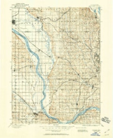
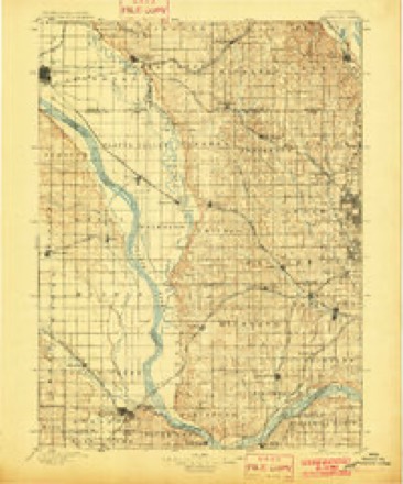
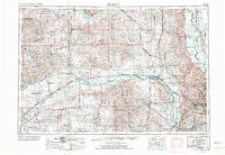
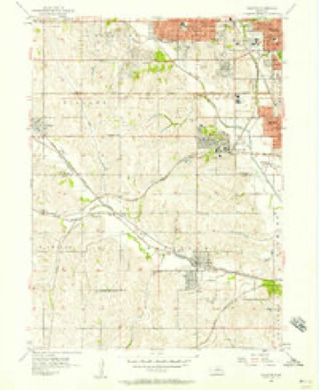
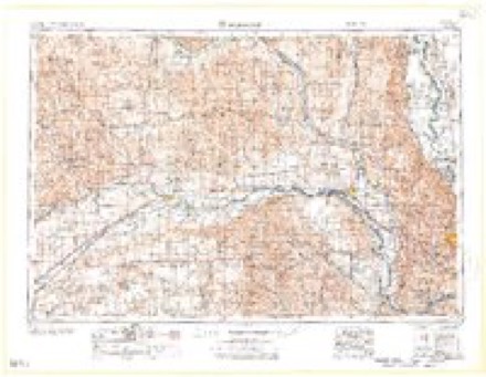
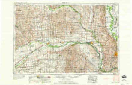
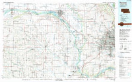
18 topographic sheets cover this place, the earliest surveyed in 1893 and the latest in 1982. It stands in Omaha City. It lies in ZIP code area 68137. The Survey maps it on the Ralston quadrangle.
Topographic sheets covering this place
7 surveys from 18 printed sheetsMatched by testing this settlement's coordinate against the published boundary of every sheet in the United States Geological Survey's historical collection. Each opens the scanned sheet at the Survey.
- 1893 USGS Fremont quadrangle1:125000
- 1896 USGS Fremont quadrangle1:125000, 5 printings
- 1955 USGS Fremont quadrangle1:250000, 3 printings
- 1956 USGS Ralston quadrangle1:24000, 5 printings
- 1957 USGS Fremont quadrangle1:250000
- 1958 USGS Fremont quadrangle1:250000
- 1982 USGS Fremont quadrangle1:100000, 2 printings
What happened here
An account from the chapter on Omaha city. The inset identifies its exact source book and publication year.
Urban B. Balcombe
Urban B. Balcombe, who died at Excelsior Springs, Missouri, March 7, 191 7, was born in Elgin, Illinois,' in 1852. His father. Saint A. D. Balcombe, removed with his family to Omaha from Winona, Minnesota, July 5, 1865. He had formerly been agent for the captured Sioux and Winnebago Indians and in 1863 removed them to St.
Fires near this place
15 since 2011Regional context, not property-specific evidence. The federal wildfire occurrence database lists 15 fires within 5 miles of Millard between 2011 and 2018, burning about 4 acres in total. None started naturally. None was recorded as arson. Distance is straight-line from the map coordinates, so a fire counted here may appear on a neighbouring settlement's page as well.
| Reported cause | Fires |
|---|---|
| Missing data/not specified/undetermined | 4 |
| Debris and open burning | 3 |
| Power generation/transmission/distribution | 2 |
| Recreation and ceremony | 2 |
| Fireworks | 1 |
| Misuse of fire by a minor | 1 |
| Smoking | 1 |
| Equipment and vehicle use | 1 |
The most recent of them, most recent first, with the day each was reported and the service that recorded it.
| Date | Cause | Size | Reported by | Name on the report |
|---|---|---|---|---|
| 9 July 2011 | Missing data/not specified/undetermined | under an acre | Nebraska Forest Service | not named |
| 7 July 2012 | Missing data/not specified/undetermined | under an acre | Nebraska Forest Service | not named |
| 17 July 2012 | Missing data/not specified/undetermined | under an acre | Nebraska Forest Service | not named |
| 13 July 2011 | Power generation/transmission/distribution | under an acre | Nebraska Forest Service | not named |
| 27 June 2014 | Recreation and ceremony | under an acre | Nebraska Forest Service | not named |
| 25 June 2016 | Smoking | under an acre | Nebraska Forest Service | not named |
| 9 April 2014 | Recreation and ceremony | under an acre | Nebraska Forest Service | not named |
| 4 April 2013 | Debris and open burning | under an acre | Nebraska Forest Service | not named |
Settlements close enough to share some of these fires:
Storms near this place
41 since 1997Regional context, not property-specific evidence. The National Weather Service names Millard in 41 storm reports between 1997 and 2026: 18 hail, 16 thunderstorm wind, 7 flash flood. No death or injury is recorded in these reports. Each account below is quoted exactly as the forecast office filed it, from the NOAA Storm Events Database, and each date opens the federal record of that event.
| When | Event | Place named | Harm | What the report says |
|---|---|---|---|---|
| May 2014 | Flash Flood | Millard | $10,000 | Heavy rain caused localized flash flooding in parts of west Omaha, including near 119th and Pacific Streets where 1 car was stranded due to flood waters. |
| April 2026 | Hail | Millard | - | Delayed report received from social media of hail estimated up to 1 inch in diameter. Time estimated with radar. |
| July 2025 | Thunderstorm Wind | Millard | - | Trained spotter report of snapped 4 inch in diameter tree branches. Wind gusts were estimated near 60-65 mph. |
| May 2024 | Thunderstorm Wind | Millard | - | A report was received by the public of 4-inch tree branches blown down in Millard. The time was estimated from radar. |
| August 2024 | Flash Flood | Millard | - | Training thunderstorms with heavy rain resulted in urban flash flooding across portions of far southern Douglas County. Several intersections were reported to have been under water by the Public, including the L Street and 23rd Street intersection, and the L Street and 102nd Street intersection. |
| July 2023 | Hail | Millard | - | Public reported 1-inch hail via mPING. |
| July 2023 | Hail | Millard | - | Public reported 1-inch hail via mPING. |
| July 2023 | Thunderstorm Wind | Millard | - | Personal weather station measured a peak wind gust of 62 mph. |
| July 2023 | Thunderstorm Wind | Millard | - | Public weather station measured a peak wind gust of 59 mph. |
| June 2023 | Thunderstorm Wind | Millard | - | Public reported an estimated 60 mph wind gust. |
| June 2023 | Thunderstorm Wind | Millard | - | Public posted via socia media a large tree damaged via a thunderstorm wind gust. |
| June 2023 | Hail | Millard | - | Broadcast Media relayed a report of 1.5-inch hail. |
| June 2022 | Flash Flood | Millard | - | Public reported 3 inches of water at 120th and Center Street. |
| June 2022 | Flash Flood | Millard | - | Law enforcement reported a swift water rescue of an occupied vehicle. |
| December 2021 | Thunderstorm Wind | Millard | - | Public reported a roof blown off of a home. |
| August 2021 | Thunderstorm Wind | Millard | - | Public reported several 5-inch tree limbs snapped. |
| August 2021 | Thunderstorm Wind | Millard | - | Public reported a 10-inch tree limb snapped and landed on a pickup truck. |
| August 2021 | Flash Flood | Millard | - | Public reported a car stranded in flood waters. |
| June 2020 | Hail | Millard | - | Report from mping for 0.75 inch hail. |
| March 2020 | Hail | Millard | - | Public called in report of 1.25 inch hail near the Millard area of Omaha. |
| May 2019 | Hail | Millard | - | Up to 10 minutes of golf ball size hail was reported near 120th and Center. |
| May 2019 | Hail | Millard | - | Hail pea to quarter size, drifts up to 2 feet deep covering the roads. Snow plows had to be deployed to clear the streets. |
| May 2019 | Flash Flood | Millard | - | Up to 2.5 inches of rain reported. Road closed. Nearby basements flooded. |
| July 2018 | Thunderstorm Wind | Millard | - | A large tree fell on a home. |
| July 2018 | Thunderstorm Wind | Millard | - | Several large tree limbs were blown onto parked cars. |
| August 2016 | Flash Flood | Millard | - | Social media reports and images indicated flooding along L Street in southwest Omaha from near 96th to 108th street with several cars stalled in the flooding. |
| May 2014 | Thunderstorm Wind | Millard | - | The Awos at the Millard airport recorded a thunderstorm wind gust of 72 mph. |
| June 2014 | Hail | Millard | - | The report was from 151st and F. |
| June 2013 | Thunderstorm Wind | Millard | - | A bowing thunderstorm complex brought fairly widespread tree damage to a large part of Omaha. Many trees were split or uprooted which caused damage to vehicles and homes and brought power outages to a little over 50,000 OPPD customers. Damage reports started coming in across west Omaha near 144th or 156th Streets from near Center north to around Blondo with the damage become more widespread from central into north Omaha. Several reports of winds around or higher than 60 mph came in across the city, and the Asos at Omaha Eppley Airfield measured a wind gust of 69 mph at 1000 am CDT. The strong winds and damage continued into western Iowa. |
| May 2010 | Hail | Millard | - | Most of the hail in southwest Omaha was nickel-size but some up to one inch in diameter was reported northwest of 159th and Giles. |
| September 2005 | Hail | Millard | - | Reported near Millard West High School. |
| September 2004 | Thunderstorm Wind | Millard | - | Thunderstorm wind gusts estimated at 60 mph blew down some fences in the Millard area around 128th and Harrison Streets. |
| August 2003 | Hail | Millard | - | Hail up to golfball size was reported near the junction of Interstates 80 and 680, with 1 inch hail observed near Ralston. |
| May 2000 | Hail | Millard | - | Golf ball size hail reported at 192nd and F streets in the Millard area by a trained storm spotter. Millard is a suburb in western Omaha. |
| May 1999 | Hail | Millard | - | Near 144th and Q street. |
| May 1998 | Thunderstorm Wind | Millard | - | Wind damage reported at Millard High School |
| June 2017 | Hail | Millard | - | no account filed |
| March 2017 | Hail | Millard | - | no account filed |
| April 2016 | Hail | Millard | - | no account filed |
| May 1998 | Hail | Millard | - | no account filed |
| June 1997 | Thunderstorm Wind | Millard | - | no account filed |
Nearest settlements
The eight closest, with where each one stands in the county. Distances are straight-line, computed from the Geographic Names Information System coordinates.
| Map | Place | Distance | Sheets |
|---|---|---|---|
| Lane | 3.1 miles | 19 | |
| Boys Town | 3.7 miles | 17 | |
| Ralston | 4.2 miles | 18 | |
| Green Meadows | 4.9 miles | 17 | |
| Omaha Regency | 5.4 miles | 17 | |
| Maplewood Estates | 6.0 miles | 18 | |
| Skyline | 7.4 miles | 19 | |
| Elkhorn | 8.1 miles | 17 |
Provenance
This settlement is recorded in the Geographic Names Information System as feature 831309. The sheet list is computed by point-in-boundary test against the United States Geological Survey's historical topographic inventory. Both are works of the United States government and carry no copyright under 17 U.S.C. 105.
Wildfire. Short, Karen C. 2022. Spatial wildfire occurrence data for the United States, 1992-2020 [FPA_FOD_20221014]. 6th Edition. Fort Collins, CO: Forest Service Research Data Archive. https://doi.org/10.2737/RDS-2013-0009.6 Collected with United States Government funding and usable without additional permissions or fees.
Storms. NOAA National Centers for Environmental Information, Storm Events Database https://www.ncei.noaa.gov/stormevents/ A work of the United States government, no copyright under 17 U.S.C. 105. Narratives are quoted verbatim from the National Weather Service report and are not edited or summarised.