 Block
Norden, Nebraska
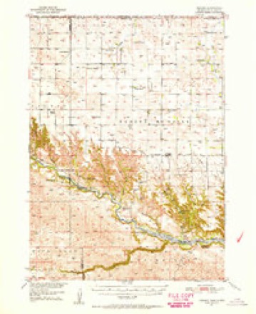
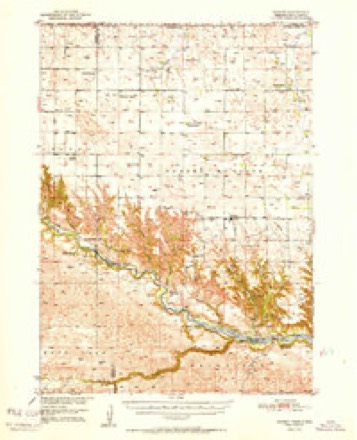
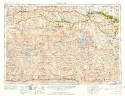
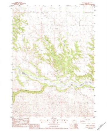
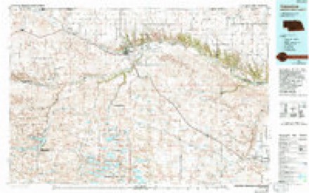
10 topographic sheets cover this place, the earliest surveyed in 1950 and the latest in 1985. It stands in Norden precinct. It lies in ZIP code area 68778. The Survey maps it on the Norden quadrangle.
Topographic sheets covering this place
6 surveys from 10 printed sheetsMatched by testing this settlement's coordinate against the published boundary of every sheet in the United States Geological Survey's historical collection. Each opens the scanned sheet at the Survey.
- 1950 USGS Norden quadrangle1:62500, 2 printings
- 1952 USGS Norden quadrangle1:62500
- 1957 USGS Valentine quadrangle1:250000, 3 printings
- 1959 USGS Valentine quadrangle1:250000
- 1983 USGS Norden quadrangle1:24000
- 1985 USGS Valentine quadrangle1:100000, 2 printings
Storms near this place
25 since 1996Regional context, not property-specific evidence. The National Weather Service names Norden in 25 storm reports between 1996 and 2024: 21 hail, 1 tornado, 1 funnel cloud, 1 thunderstorm wind. No death or injury is recorded in these reports. Each account below is quoted exactly as the forecast office filed it, from the NOAA Storm Events Database, and each date opens the federal record of that event.
| When | Event | Place named | Harm | What the report says |
|---|---|---|---|---|
| May 2010 | Tornado (EF2) | Norden | $120,000 | At 930 PM CDT, a tornado touched down approximately 12 miles northwest of Springview and traveled northeast for 20 minutes before lifting 11 miles north of Springview. The tornado did extensive tree damage when it touched down, then moved northeast and struck two farmsteads. At the first farmstead, a loafing shed and stock trailer were destroyed, extensive tree and fence damage occurred, and a roof was torn off an old hog building. The most extensive damage occurred north of the farmstead where six rural electric association poles where broken. The tornado continued to move northeast and destroy a windmill. Then a second farmstead was hit with the tornado destroying a 40 by 60 feet quonset building before the tornado lifted at 950 PM CDT. |
| March 2019 | Flood | Norden | $50,000 | Flooding reported along the Niobrara River south of Norden. |
| July 2001 | Hail | Norden | $20,000 | no account filed |
| July 2024 | Hail | Norden | - | Golf ball sized hail covering the ground at this location. |
| July 2020 | Hail | Norden | - | Public reported quarter size hail west of Springview. |
| July 2020 | Hail | Norden | - | Public reported quarter size hail near Springview. |
| July 2020 | Hail | Norden | - | Public reported quarter size hail near Norden. |
| July 2015 | Thunderstorm Wind | Norden | - | Public estimated thunderstorm wind gusts to 80 MPH. |
| September 2014 | Hail | Norden | - | Quarter size hail fell late in the evening, while hail remained on the ground in the morning. Thunderstorm winds also caused some broken tree branches in the area. |
| August 2008 | Hail | Norden | - | Hail from penny to quarter size fell. |
| July 2024 | Hail | Norden | - | no account filed |
| July 2024 | Hail | Norden | - | no account filed |
| July 2024 | Hail | Norden | - | no account filed |
| June 2018 | Hail | Norden | - | no account filed |
| June 2016 | Hail | Norden | - | no account filed |
| July 2015 | Hail | Norden | - | no account filed |
| June 2014 | Hail | Norden | - | no account filed |
| July 2013 | Hail | Norden | - | no account filed |
| July 2013 | Hail | Norden | - | no account filed |
| August 2011 | Funnel Cloud | Norden | - | no account filed |
| August 2011 | Hail | Norden | - | no account filed |
| May 2010 | Hail | Norden | - | no account filed |
| May 1998 | Hail | Norden | - | no account filed |
| June 1997 | Hail | Norden | - | no account filed |
| July 1996 | Hail | Norden | - | no account filed |
Nearest settlements
The eight closest, with where each one stands in the county. Distances are straight-line, computed from the Geographic Names Information System coordinates.
| Map | Place | Distance | Sheets |
|---|---|---|---|
| Rocky Ford | 4.9 miles | 11 | |
| Meadville | 14.1 miles | 10 | |
| Springview | 17.5 miles | 9 | |
| Burton | 25.7 miles | 9 | |
| Riverview | 27.4 miles | 11 | |
| Carns (historical) | 32.7 miles | 11 | |
| Mills | 33.8 miles | 9 | |
| Brocksburg | 39.5 miles | 9 |
Provenance
This settlement is recorded in the Geographic Names Information System as feature 835392. The sheet list is computed by point-in-boundary test against the United States Geological Survey's historical topographic inventory. Both are works of the United States government and carry no copyright under 17 U.S.C. 105.
Storms. NOAA National Centers for Environmental Information, Storm Events Database https://www.ncei.noaa.gov/stormevents/ A work of the United States government, no copyright under 17 U.S.C. 105. Narratives are quoted verbatim from the National Weather Service report and are not edited or summarised.