 Block
Perry, Nebraska
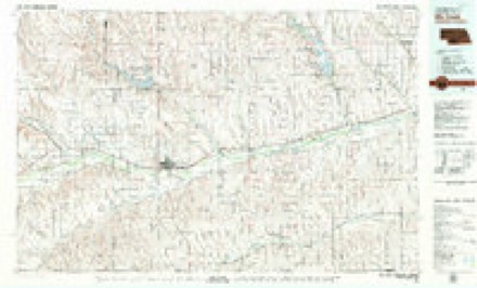
8 topographic sheets cover this place, the earliest surveyed in 1954 and the latest in 1979. It stands in Perry precinct. It lies in ZIP code area 69001. The Survey maps it on the McCook West quadrangle.
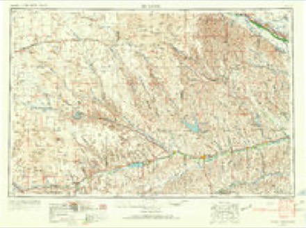
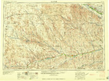
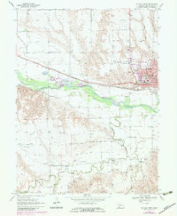
Topographic sheets covering this place
5 surveys from 8 printed sheetsMatched by testing this settlement's coordinate against the published boundary of every sheet in the United States Geological Survey's historical collection. Each opens the scanned sheet at the Survey.
- 1954 USGS McCook quadrangle1:250000, 2 printings
- 1957 USGS McCook quadrangle1:250000
- 1958 USGS McCook quadrangle1:250000, 2 printings
- 1970 USGS McCook West quadrangle1:24000, 2 printings
- 1979 USGS McCook quadrangle1:100000
Fires near this place
1 since 2018Regional context, not property-specific evidence. The federal wildfire occurrence database lists 1 fire within 5 miles of Perry in 2018, burning about 215 acres in total. None started naturally. None was recorded as arson. Distance is straight-line from the map coordinates, so a fire counted here may appear on a neighbouring settlement's page as well.
| Reported cause | Fires |
|---|---|
| Debris and open burning | 1 |
The most recent of them, most recent first, with the day each was reported and the service that recorded it.
| Date | Cause | Size | Reported by | Name on the report |
|---|---|---|---|---|
| 5 March 2018 | Debris and open burning | 215 acres | Nebraska Forest Service | not named |
Mines and quarries near this place
1 within 5 milesRegional context, not property-specific evidence. The federal mineral resources record lists 1 working within 5 miles of Perry: 1 producer. All of them still produce. What was taken out: Sand and Gravel, Construction. Distance is straight-line from the map coordinates, so a quarry counted here may appear on a neighbouring settlement's page as well.
| Where | Site | Commodity | Status | Recorded |
|---|---|---|---|---|
| Mccook West Pit & Plant | Sand and Gravel, Construction | Producer |
Storms near this place
27 since 2000Regional context, not property-specific evidence. The National Weather Service names Perry in 27 storm reports between 2000 and 2025: 18 hail, 4 tornado, 3 thunderstorm wind, 1 flash flood. No death or injury is recorded in these reports. Each account below is quoted exactly as the forecast office filed it, from the NOAA Storm Events Database, and each date opens the federal record of that event.
| When | Event | Place named | Harm | What the report says |
|---|---|---|---|---|
| May 2024 | Tornado (EF0) | Perry | $1,000 | A brief two-minute duration EF-0 tornado snapped branches off a cedar tree, which was the only damage found along the path. Winds were estimated to be 85 mph. |
| September 2025 | Hail | Perry | - | Measured 3.5 inch diameter hailstone. Estimated time of report from radar. |
| May 2024 | Thunderstorm Wind | Perry | - | A softwood tree was snapped due to straight line winds. A large portion of the tree was already missing due to prior storms. |
| June 2024 | Hail | Perry | - | Hail of dime to two inches in diameter was reported over a duration of around 15 minutes. |
| June 2024 | Hail | Perry | - | Numerous reports of hail ranging from 1.25 inches to 2.25 inches from the public, storm chasers and trained spotters were reported at this location. A picture of the 2.25 inch hail was sent in from the storm chaser using calipers to measure the hail stone. |
| June 2024 | Hail | Perry | - | Prolonged period of pea to 3.5 inch hail. |
| June 2024 | Hail | Perry | - | Quarter to ping pong ball size hail was reported. |
| June 2024 | Hail | Perry | - | The public reported golf ball size hail. |
| June 2024 | Hail | Perry | - | Spotter network report of 3 inch hail. Additional pictures of numerous 2.5 to 3 inch hail which were measured with ruler. |
| June 2023 | Hail | Perry | - | Report of soft nickel sized hail 3 miles of west McCook, NE. Power is out. |
| July 2022 | Thunderstorm Wind | Perry | - | Report received via social media of estimated thunderstorm wind gusts of 60 mph continuing at location for a duration of 15 minutes. |
| May 2019 | Hail | Perry | - | Trained spotter reported hail up to 1 to 1.5 inches in diameter along us Highway 83 north of McCook, Nebraska. Time estimated via radar. |
| May 2019 | Tornado (EF2) | Perry | - | The tornado began just south of Highway 34 along the Red Willow and Hitchcock County line. The tornado moved north-northeast across Red Willow County before ending northwest of McCook, NE. The tornado struck a farm and this is where the most intense damage was done. Otherwise, damage consisted of sporadic tree limbs down, some barbed wire fences knocked over, irrigation pivots overturned, and minor loss of metal roofing.||The primary damage occurred when the tornado moved across a farm. The tornado entered the property from the southwest, where it went through a wind break and snapped numerous hardwood and softwood trees. The storm also destroyed 6 grain bins, 5 farm outbuildings, and produced significant damage to a house. The EF-2 rating is a direct result of the house damage, which consisted of a few collapsed exterior brick walls, uplift or removal of half of the structure's roof, and complete removal of the garage. Additional damage included shattered windows to the house and vehicles, damage to a combine due to being struck by a grain bin, damage to fences, and other trees with losses to branches. |
| May 2019 | Tornado (EFU) | Perry | - | Tornado reported north of McCook, NE. No damage was found by storm survey other than a few snapped branches off trees and minor debris from unknown sources/structures. Could not find a defined path but tornado continued into Frontier County, NE. |
| July 2019 | Hail | Perry | - | Rainfall totaling 1.20 inches was also reported. |
| April 2017 | Thunderstorm Wind | Perry | - | Near zero visibility was reported in the blowing dust. |
| September 2016 | Flash Flood | Perry | - | Prolonged heavy rainfall occurred over Red Willow County, mainly southeast of McCook. Radar estimates of four to ten inches rain fell, with the highest amounts east of Highway 83 between Highways 89 and 34. Highway 83 was closed in McCook due to flood waters causing vehicles to stall and become abandon on the highway. Numerous other roads were also reported to be closed. McCook was the only town in the county affected by the flooding. No specific property damage information from the flooding was given. |
| September 2016 | Hail | Perry | - | The hail was very brief. |
| September 2016 | Flood | Perry | - | Repeated rounds of moderate to heavy rainfall continued over the flood area into the overnight hours. Highway 83 was closed due to stalled vehicles being stalled and abandoned on the highway. Numerous other roads were also closed due to the flooding. No specific information was given regarding property damage. |
| July 2014 | Hail | Perry | - | Hail occurred for approximately three minutes. |
| May 2013 | Hail | Perry | - | Hail was reported on the Hitchcock/Red Willow county line along Highway 34. |
| August 2011 | Hail | Perry | - | Hail reported on Highway 83 just south of the Red Willow/Frontier county line. |
| June 2011 | Tornado (EF0) | Perry | - | Storm chaser reported a large dusty tornado NNW of McCook. The county emergency manager did not receive any reports of damage from the tornado. |
| May 2013 | Hail | Perry | - | no account filed |
| May 2012 | Hail | Perry | - | no account filed |
| April 2012 | Hail | Perry | - | no account filed |
| June 2000 | Hail | Perry | - | no account filed |
Nearest settlements
The eight closest, with where each one stands in the county. Distances are straight-line, computed from the Geographic Names Information System coordinates.
Elsewhere
Matched on this settlement's Geographic Names Information System number rather than its name, so it cannot be a different place of the same name in another state.
| Wikipedia article on Perry | An encyclopaedic summary. Its text is share-alike, so it is linked here rather than copied. |
| Wikidata item Q18387755 | The structured record the population and elevation above come from. Public domain (CC0). |
Provenance
This settlement is recorded in the Geographic Names Information System as feature 835410. The sheet list is computed by point-in-boundary test against the United States Geological Survey's historical topographic inventory. Both are works of the United States government and carry no copyright under 17 U.S.C. 105.
Wildfire. Short, Karen C. 2022. Spatial wildfire occurrence data for the United States, 1992-2020 [FPA_FOD_20221014]. 6th Edition. Fort Collins, CO: Forest Service Research Data Archive. https://doi.org/10.2737/RDS-2013-0009.6 Collected with United States Government funding and usable without additional permissions or fees.
Mines and quarries. USGS Mineral Resources Data System (MRDS) https://mrdata.usgs.gov/mrds/ A work of the United States government, no copyright under 17 U.S.C. 105.
Storms. NOAA National Centers for Environmental Information, Storm Events Database https://www.ncei.noaa.gov/stormevents/ A work of the United States government, no copyright under 17 U.S.C. 105. Narratives are quoted verbatim from the National Weather Service report and are not edited or summarised.